The best walks and hikes in Nsg Kollrunger Moor
4.6
(550)
2,404
hikers
206
hikes
Hiking trails in Nsg Kollrunger Moor traverse a distinctive 279-hectare nature reserve characterized by its high moor landscape. The area includes sections previously shaped by peat extraction, alongside untouched natural features. Ongoing re-wetting efforts have created nutrient-poor still waters, which are developing into typical raised bog habitats, particularly in the central parts of the moor. This environment offers a unique perspective on ecological restoration.
Best hiking trails in Nsg Kollrunger Moor
- The most popular hiking route is Ems-Jade Canal Cycle…
Last updated: July 12, 2026
6
hikers
Moderate hike. Good fitness required. Easily-accessible paths. Suitable for all skill levels.
6
hikers
Moderate hike. Good fitness required. Easily-accessible paths. Suitable for all skill levels.

Sign up for free
5.0
(1)
6
hikers
Easy hike. Great for any fitness level. Easily-accessible paths. Suitable for all skill levels.
2
hikers
Easy hike. Great for any fitness level. Easily-accessible paths. Suitable for all skill levels.
3
hikers
4.79km
01:12
10m
10m
Easy hike. Great for any fitness level. Easily-accessible paths. Suitable for all skill levels.
Get access to more routes and recommendations from other explorers.
Sign up for free
Already have an account?
Our route recommendations are based on thousands of hikes, rides, and runs completed by other people on komoot.
Start today with a free account
Your next adventure awaits.
Login or Signup
Tips from the Community

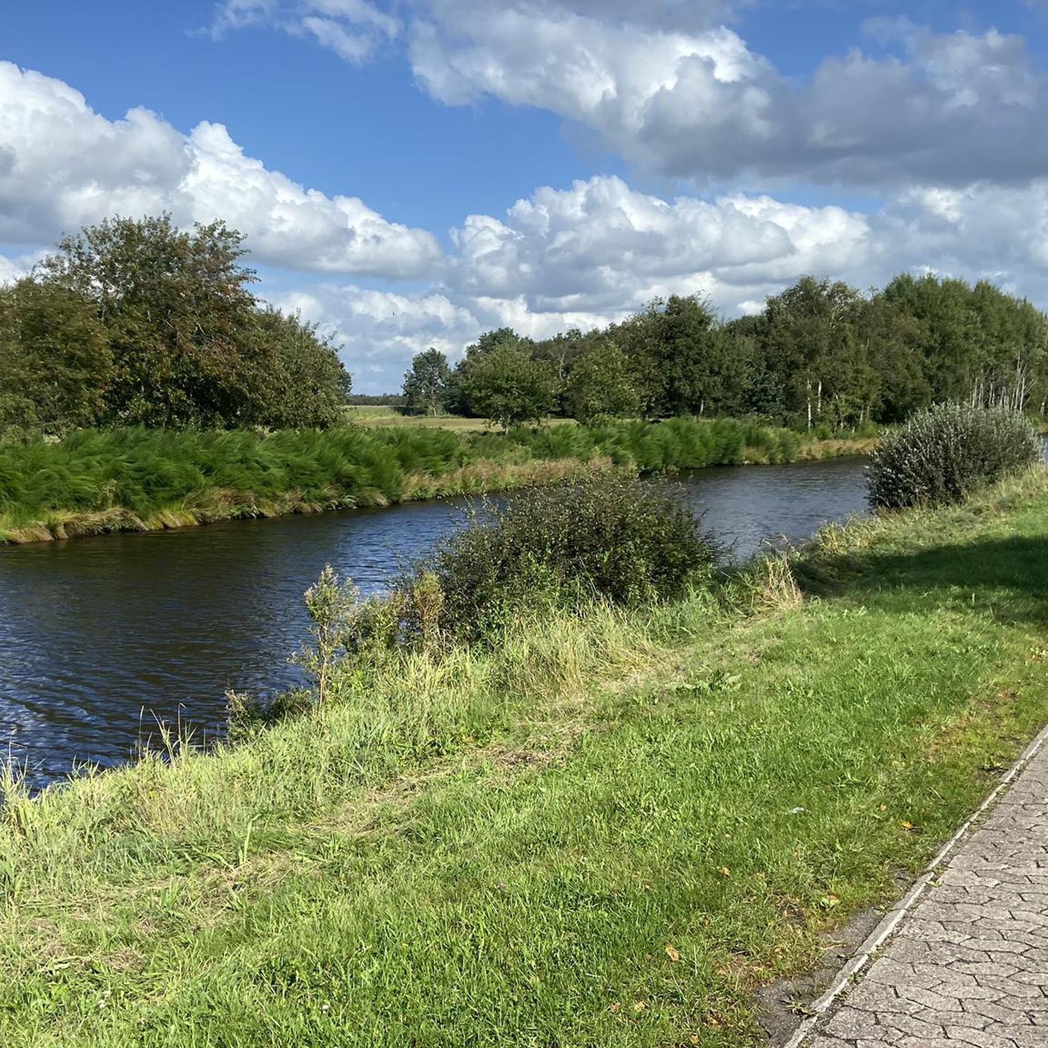
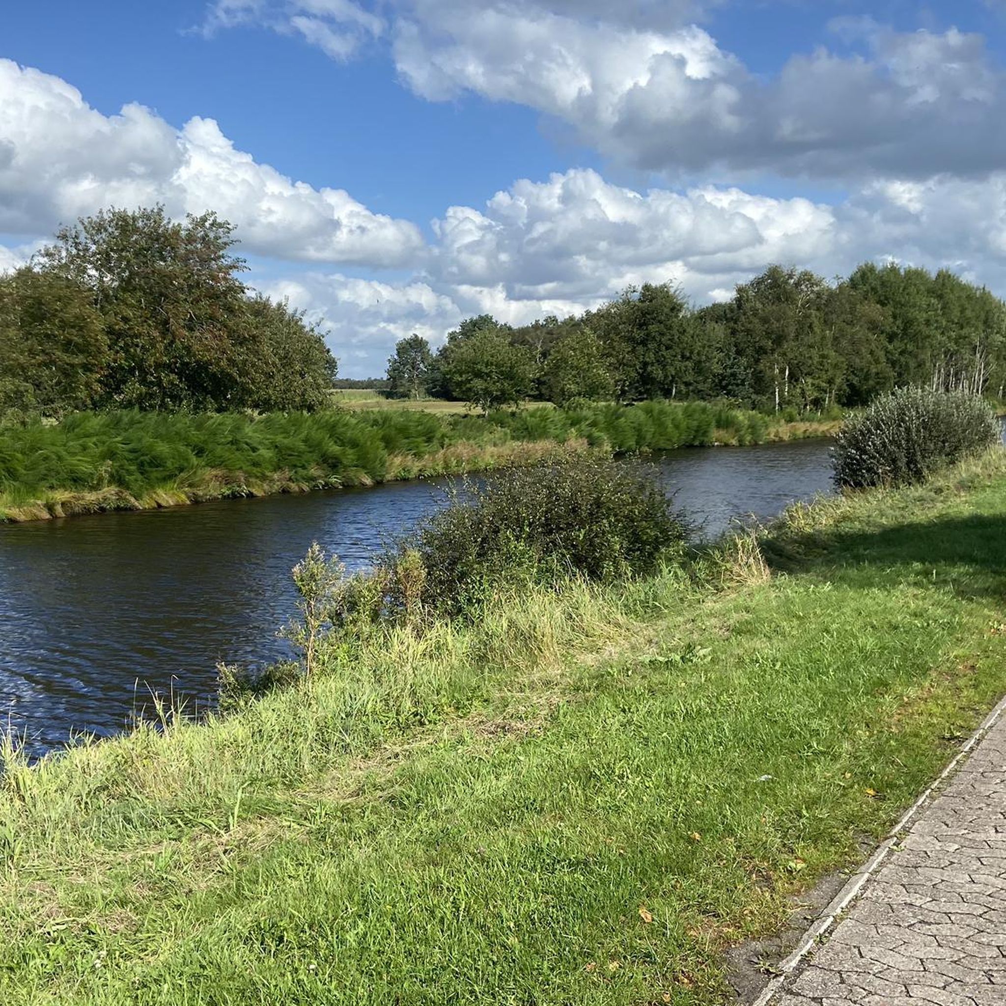
The Ems-Jade Canal, unfortunately only a tourist highlight nowadays. No ships, a pity.
0
0

A lovely, small spot below the bridge right on the water with the village square at your back. Easily accessible.
0
0

A completely new way to drive really well.
1
0


E-bike charging station with 4 Schuko sockets available.
0
0

There is a cycle path from Emden to Wilhelmshaven, always along the canal
1
0

The cycle path between Wilhelmshaven and Aurich along the Ems-Jade Canal is, with very few exceptions, easily navigable. Unfortunately, there are few restaurants along the entire route.
5
0
A very nice resting place
3
0
Frequently Asked Questions
How many hiking trails are available in Nsg Kollrunger Moor?
Nsg Kollrunger Moor offers nearly 200 hiking routes. The majority, around 148, are considered easy, making the area accessible for many. There are also 44 moderate trails and 4 more challenging routes for experienced hikers.
What kind of landscape can I expect when hiking in Nsg Kollrunger Moor?
The Nsg Kollrunger Moor is characterized by its unique high moor landscape, part of the East Frisian central moor complex. You'll encounter areas previously used for peat extraction, as well as untouched sections. Ongoing re-wetting efforts have created nutrient-poor still waters, which are developing into typical raised bog habitats, offering a fascinating perspective on ecological restoration.
Are there any circular hiking routes in Nsg Kollrunger Moor?
Yes, many routes in Nsg Kollrunger Moor are circular. For example, the moderate Ems-Jade Canal Cycle Path – Marcardsmoor Village Square loop from Kollrunger Moor covers 13.6 km, or try the easier Peat extraction at the Ems-Jade Canal – Marcardsmoor Village Square loop from Schleuse III Upschört, which is 4.7 km.
What is the terrain like in Nsg Kollrunger Moor?
The terrain in Nsg Kollrunger Moor is generally flat, typical of a moorland environment. While there are minimal elevation changes, the paths can vary from firm ground to softer, wetter sections, especially in areas undergoing re-wetting. Appropriate footwear is recommended.
What natural features or landmarks can I see along the trails?
Hikers can observe the distinctive high moor landscape, including areas of regenerating raised bog habitats and nutrient-poor still waters. The area is part of the European Fauna-Flora-Habitat area "Kollrunger Moor und Klinge," highlighting its ecological significance. You might also encounter remnants of historical peat extraction.
Is Nsg Kollrunger Moor suitable for family hikes?
Yes, Nsg Kollrunger Moor offers many easy trails suitable for families. With 148 easy routes, you can find shorter, less strenuous options that are perfect for children. The unique moorland environment also provides an educational experience about nature and ecological restoration.
What do other hikers enjoy most about Nsg Kollrunger Moor?
The area is highly rated by the komoot community, with an average score of 4.6 stars from over 500 reviews. Hikers often praise the unique moorland scenery, the tranquility of the nature reserve, and the opportunity to observe the ongoing ecological regeneration efforts.
Are dogs allowed on the hiking trails in Nsg Kollrunger Moor?
Generally, dogs are permitted on hiking trails in nature reserves, but they must be kept on a leash to protect the local wildlife and sensitive ecosystems. Always follow local signage and regulations regarding pets in the Nsg Kollrunger Moor.
What wildlife can I spot in Nsg Kollrunger Moor?
Nsg Kollrunger Moor provides a habitat for diverse wildlife, including threatened species. Keep an eye out for the adder (Kreuzotter) and the rare High Bog Dragonfly (Hochmoor-Mosaikjungfer), especially in the re-wetted areas and developing raised bog habitats.
Are there any easy routes for beginners or casual walkers?
Absolutely. Nsg Kollrunger Moor has 148 easy routes, perfect for beginners or those looking for a leisurely stroll. An example is the Wiesede Lock – Drawbridge on the Canal loop from Schleuse III Upschört, which is 3.65 km long and offers gentle walking.
What is the best time of year to visit Nsg Kollrunger Moor for hiking?
The best time to visit Nsg Kollrunger Moor for hiking is typically during the spring and autumn months when the weather is milder and the unique flora of the moorland is particularly vibrant or changing colors. Summer can also be pleasant, but be prepared for potential insects. Winter offers a different, stark beauty, but some paths might be wet or icy.
Are there any routes that pass by the Ems-Jade Canal?
Yes, several routes incorporate the Ems-Jade Canal. For instance, the moderate Marcardsmoor Village Square – Ems-Jade Canal Cycle Path loop from Schleuse III Upschört offers views along the canal and through the moorland surroundings.
Most popular routes in Nsg Kollrunger Moor

Get inspired with the komoot mobile app


Explore more
Browse the best Hikes in other regions.
