The best walks and hikes in Nsg Tuetenvenn
4.4
(6568)
26,270
hikers
946
hikes
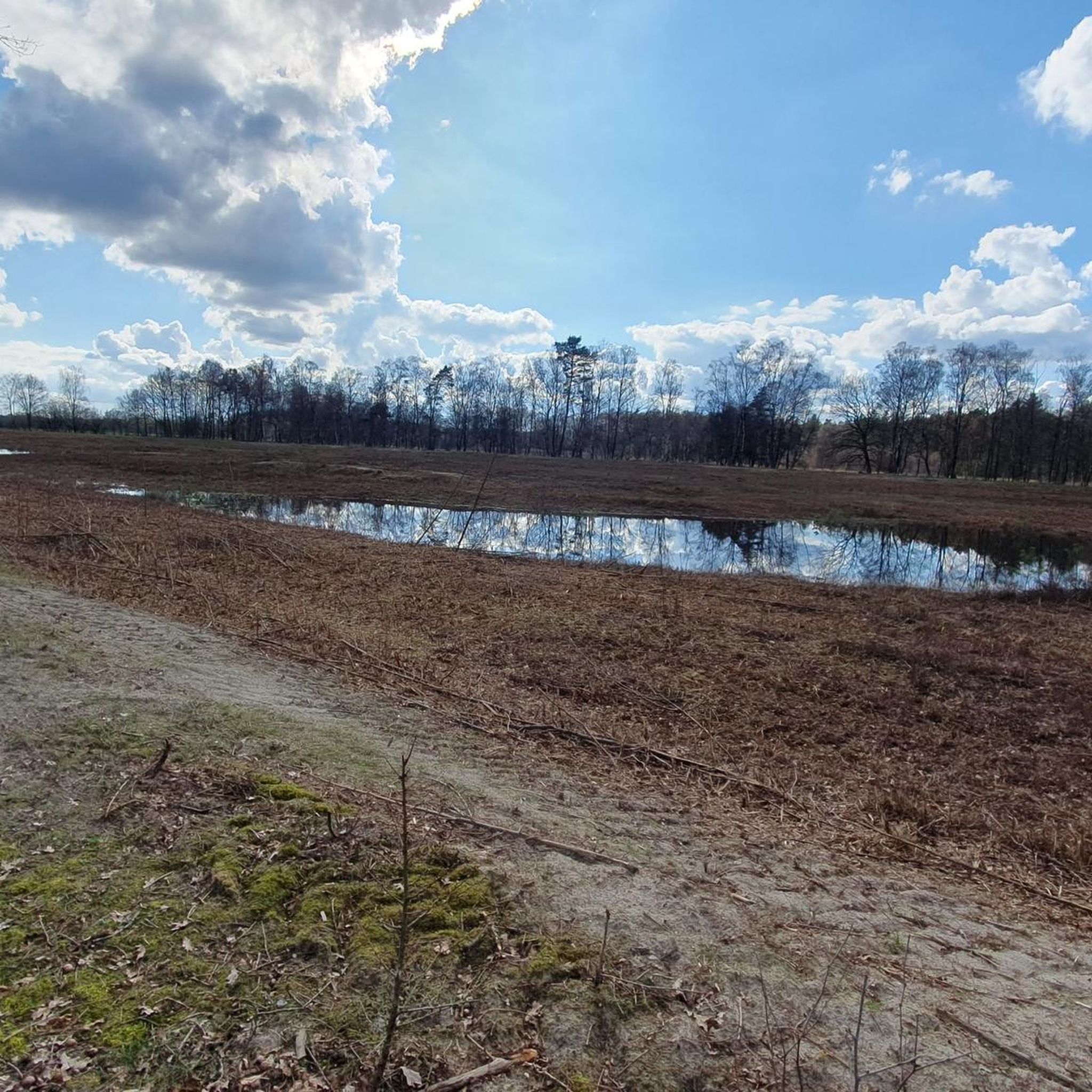
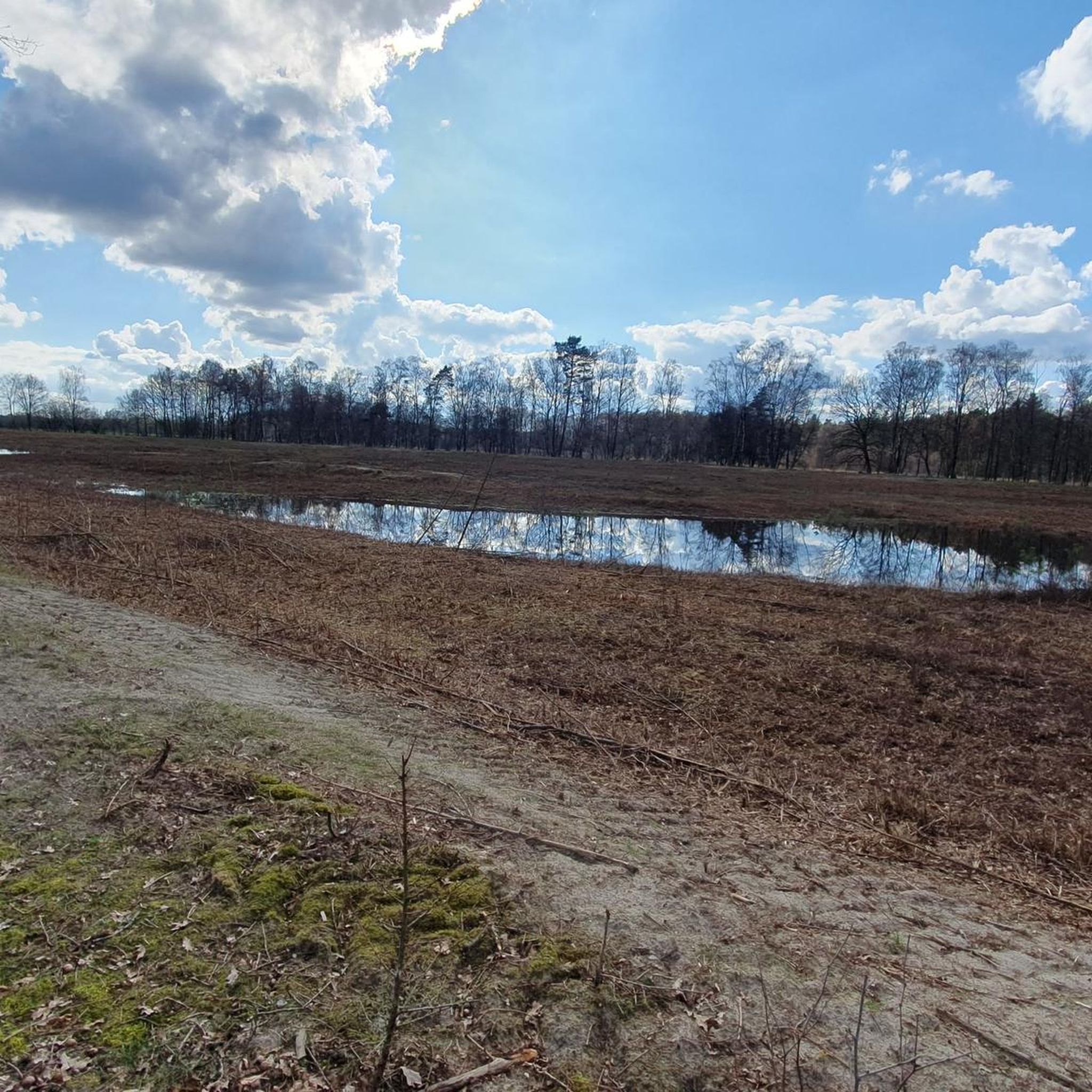
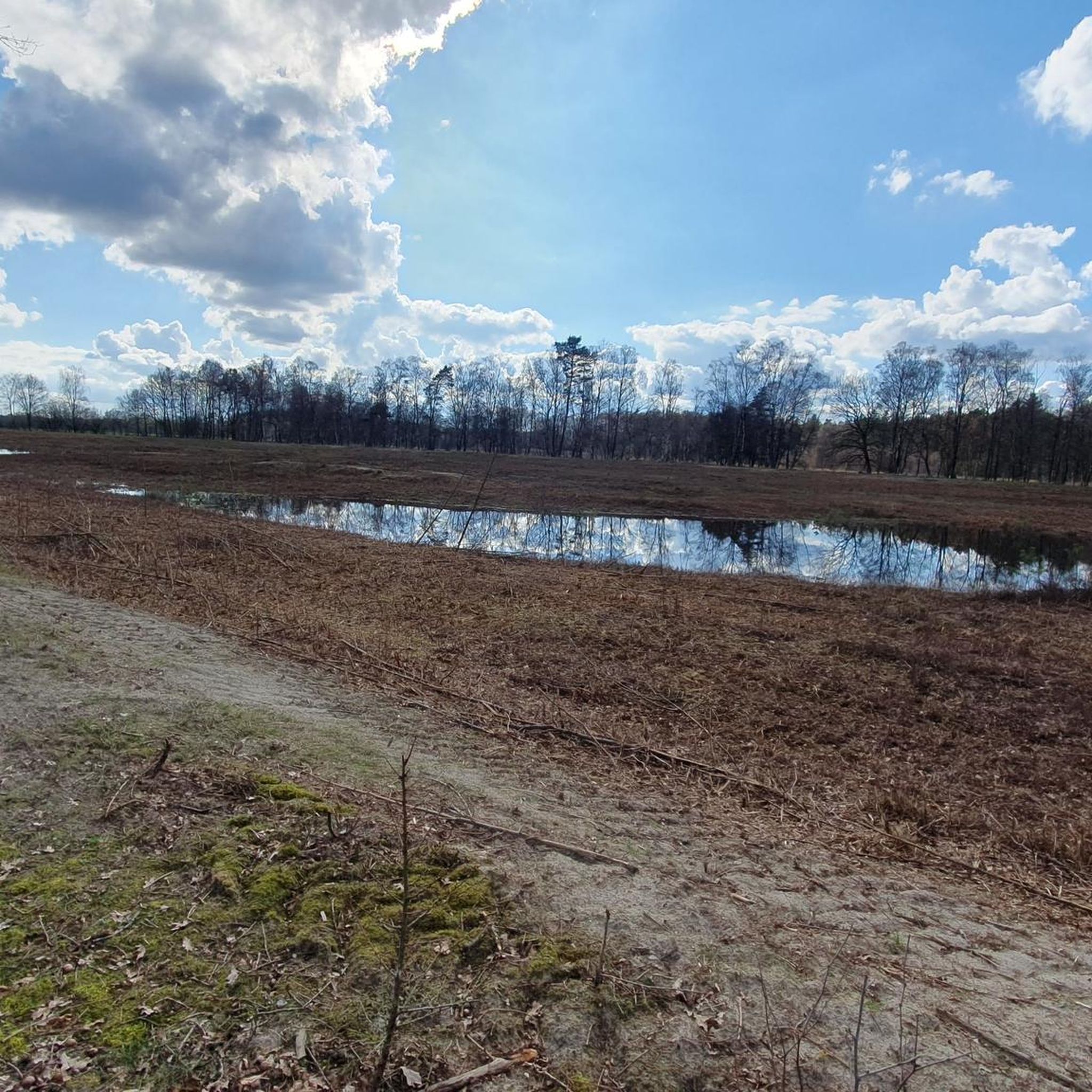
Hiking in Nsg Tuetenvenn offers trails through a landscape characterized by moorland, ponds, and forested areas. The region, located in Kreis Steinfurt, features generally flat terrain with minimal elevation changes. It includes diverse wet grasslands, moorlands, and "Blänken" (periodically dry small bodies of water) that support unique ecosystems. Protected deciduous and bog/riparian forests, along with natural eutrophic lakes, add to the ecological diversity.
Best hiking trails in Nsg Tuetenvenn
- The most popular hiking route is Moor Pond in Landkreis Emsland…
Last updated: July 9, 2026
4.8
(51)
226
hikers
Easy hike. Great for any fitness level. Easily-accessible paths. Suitable for all skill levels.
4.3
(4)
16
hikers
Moderate hike. Good fitness required. Easily-accessible paths. Suitable for all skill levels.

Sign up for free
5.0
(1)
8
hikers
Easy hike. Great for any fitness level. Easily-accessible paths. Suitable for all skill levels.
2
hikers
Easy hike. Great for any fitness level. Easily-accessible paths. Suitable for all skill levels.
4.7
(205)
1,137
hikers
3.31km
00:51
10m
10m
Easy hike. Great for any fitness level. Easily-accessible paths. Suitable for all skill levels.
Get access to more routes and recommendations from other explorers.
Sign up for free
Already have an account?
Our route recommendations are based on thousands of hikes, rides, and runs completed by other people on komoot.
Start today with a free account
Your next adventure awaits.
Login or Signup

Tips from the Community

Pure nature
0
0

Beautiful but the Gildahauser Venn is located in the Landkreis Grafschaft Bentheim.
1
0


Information about the fish world at Drilandsee.
0
0

quiet, worth seeing, nature, beautiful
1
0

Beautiful biotope in the nature reserve.
0
0

Not recommended outside of summer as it is extremely muddy! In general the path is very overgrown!
0
0
Frequently Asked Questions
How many hiking trails are available in Nsg Tuetenvenn?
Nsg Tuetenvenn offers a wide selection of hiking trails, with over 900 routes available. This includes more than 600 easy trails, over 260 moderate options, and a smaller number of more challenging routes.
What is the terrain like for hiking in Nsg Tuetenvenn?
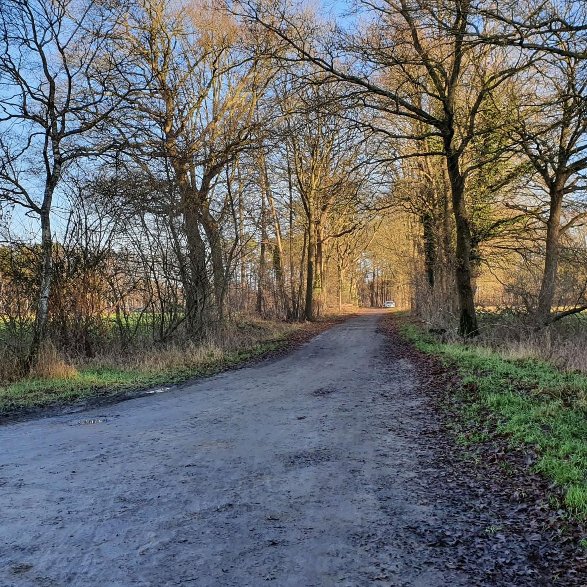
The terrain in Nsg Tuetenvenn is generally flat, characterized by moorland, numerous ponds, and forested areas. Elevation changes are minimal, making it accessible for various activity levels and providing a diverse environment for exploration.
Are there easy hiking trails suitable for beginners or families?
Yes, Nsg Tuetenvenn has a significant number of easy hiking trails, with over 600 routes categorized as easy. These are ideal for beginners, families, or those looking for a relaxed walk. An example is the Ponds in the Venn – Moor Pond in Landkreis Emsland loop from Gildehauser Venn, an easy 2.2-mile (3.6 km) trail.
Are there circular hiking routes in Nsg Tuetenvenn?
Many of the trails in Nsg Tuetenvenn are circular routes, allowing you to start and end at the same point. For instance, the Moor Pond in Landkreis Emsland – Ponds in the Venn loop from Tütenvenn is a popular 10.7-mile (17.3 km) loop, and the Dreiländersee – Three-Country Lake loop from Schöttelkotterhook offers an easy 3.6-mile (5.8 km) option.
What kind of natural features can I expect to see while hiking?
Hikers in Nsg Tuetenvenn can expect to encounter extensive moorland, numerous ponds, and pockets of forest. These features define the landscape and offer opportunities to observe local flora and fauna typical of such wetland environments.
Can I hike with my dog in Nsg Tuetenvenn?
While specific regulations for dogs may vary, generally, dogs are welcome on trails in natural areas like Nsg Tuetenvenn. It's always recommended to keep your dog on a leash to protect wildlife and ensure the safety and comfort of other hikers. Please look for any local signage regarding dog rules.
What do other hikers enjoy the most about hiking in Nsg Tuetenvenn?
The area is highly rated by the komoot community, with an average score of 4.4 stars from over 5,600 reviews. Hikers often praise the diverse landscape of moorland, ponds, and forests, as well as the generally flat and accessible trails suitable for various fitness levels.
Are there any longer, more challenging routes for experienced hikers?
While Nsg Tuetenvenn is known for its generally flat terrain, there are some longer, moderate routes that offer a good challenge. For example, the Moor Pond in Landkreis Emsland – Ponds in the Venn loop from Tütenvenn is a moderate 10.7-mile (17.3 km) trail that takes approximately 4 hours 20 minutes to complete.
Where can I find parking for the hiking trails in Nsg Tuetenvenn?
Specific parking locations are often available near trailheads or popular access points within natural reserves. It is advisable to check the starting points of individual routes on komoot for detailed parking information, as options can vary.
Is public transport available to reach Nsg Tuetenvenn for hiking?
Information on public transport directly to Nsg Tuetenvenn's trailheads is not readily available in our data. For the most accurate and up-to-date public transport options, it is best to consult local transport authorities or plan your journey using a public transport app to nearby towns or access points.
Are there any cafes or pubs near the hiking trails in Nsg Tuetenvenn?
While the immediate area of Nsg Tuetenvenn is a natural reserve, you may find cafes or pubs in nearby towns and villages. It's a good idea to plan your refreshment stops before or after your hike by checking local amenities in the surrounding communities.
Most popular routes in Nsg Tuetenvenn

Get inspired with the komoot mobile app


Explore more
Browse the best Hikes in other regions.
