Üfter-, Rüster- Und Emmelkämper Mark
Üfter-, Rüster- Und Emmelkämper Mark
The best cycling routes in Üfter-, Rüster- Und Emmelkämper Mark
4.6
(10448)
45,986
riders
1,327
rides
Touring cycling routes in Üfter-, Rüster- Und Emmelkämper Mark traverse a diverse landscape within North Rhine-Westphalia, Germany, part of the Hohe Mark Nature Park. The region features extensive forests, ranging from pine stands to mixed woodlands, alongside open heathlands and smaller moor areas. Glacial remnants contribute unique sandy sections and dunes to the varied terrain. Water features, including the Lippe river to the south and canals, offer additional scenic elements for cyclists.
Best touring cycling routes in Üfter-, Rüster- Und…
Last updated: October 13, 2026
12
riders
Easy bike ride. Great for any fitness level. Mostly paved surfaces. Suitable for all skill levels.
5.0
(3)
16
riders
Easy bike ride. Great for any fitness level. Mostly paved surfaces. Suitable for all skill levels.

5.0
(2)
7
riders
22.0km
01:24
70m
70m
Easy bike ride. Great for any fitness level. Mostly paved surfaces. Suitable for all skill levels.
5.0
(1)
6
riders
Easy bike ride. Great for any fitness level. Mostly paved surfaces. Suitable for all skill levels.
5.0
(2)
7
riders
Easy bike ride. Great for any fitness level. Mostly paved surfaces. Suitable for all skill levels.
Get access to more routes and recommendations from other explorers.
Already have an account?
Our route recommendations are based on thousands of hikes, rides, and runs completed by other people on komoot.
Start today with a free account
Your next adventure awaits.
Popular around Üfter-, Rüster- Und Emmelkämper Mark
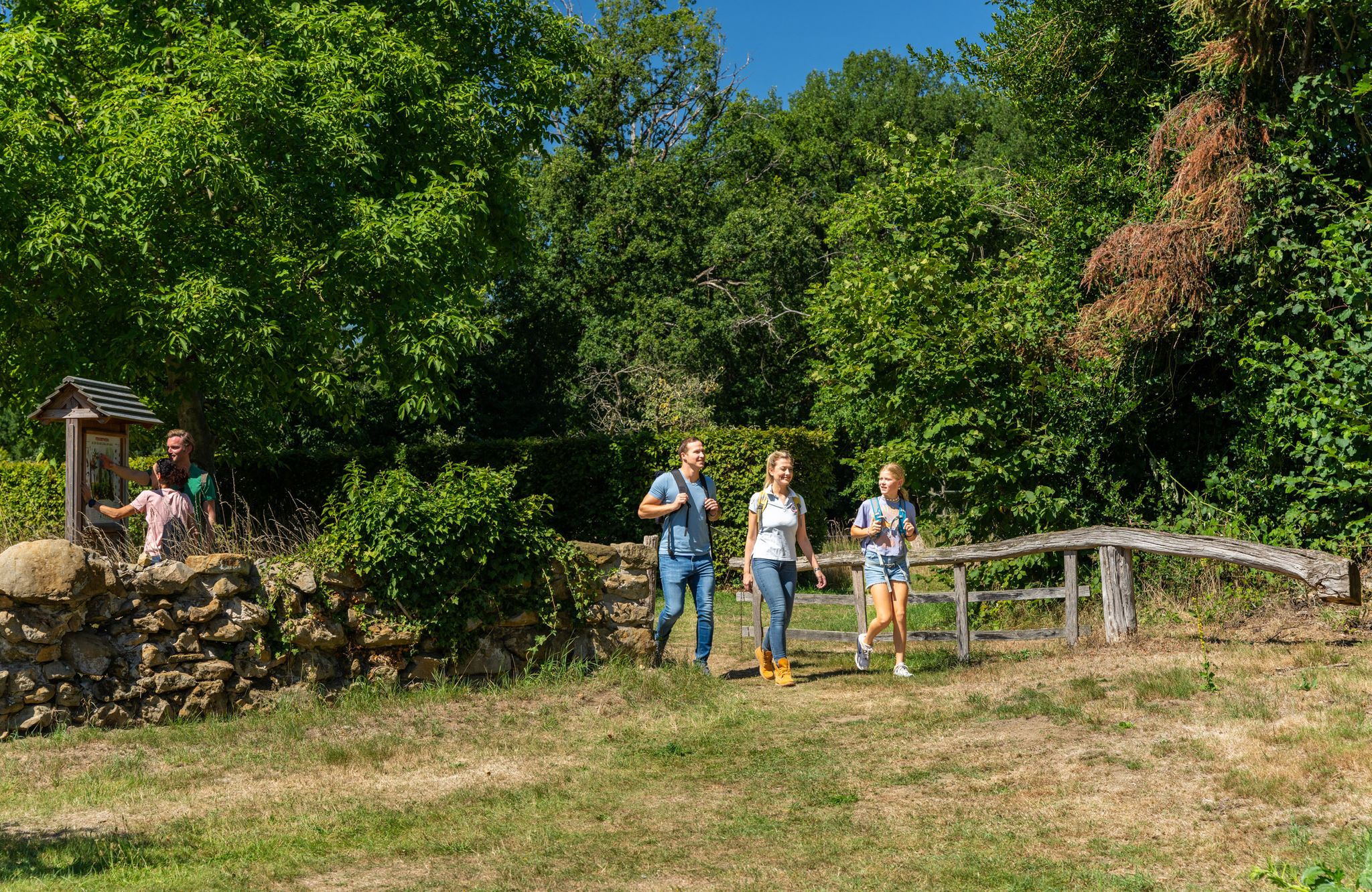
LandStreifer – circular hiking trails to Germany’s Hohe Mark Steig
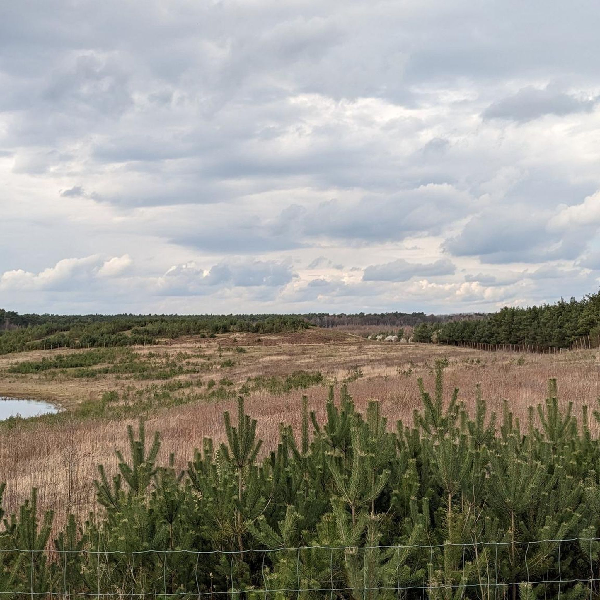
Hiking in Üfter-, Rüster- Und Emmelkämper Mark
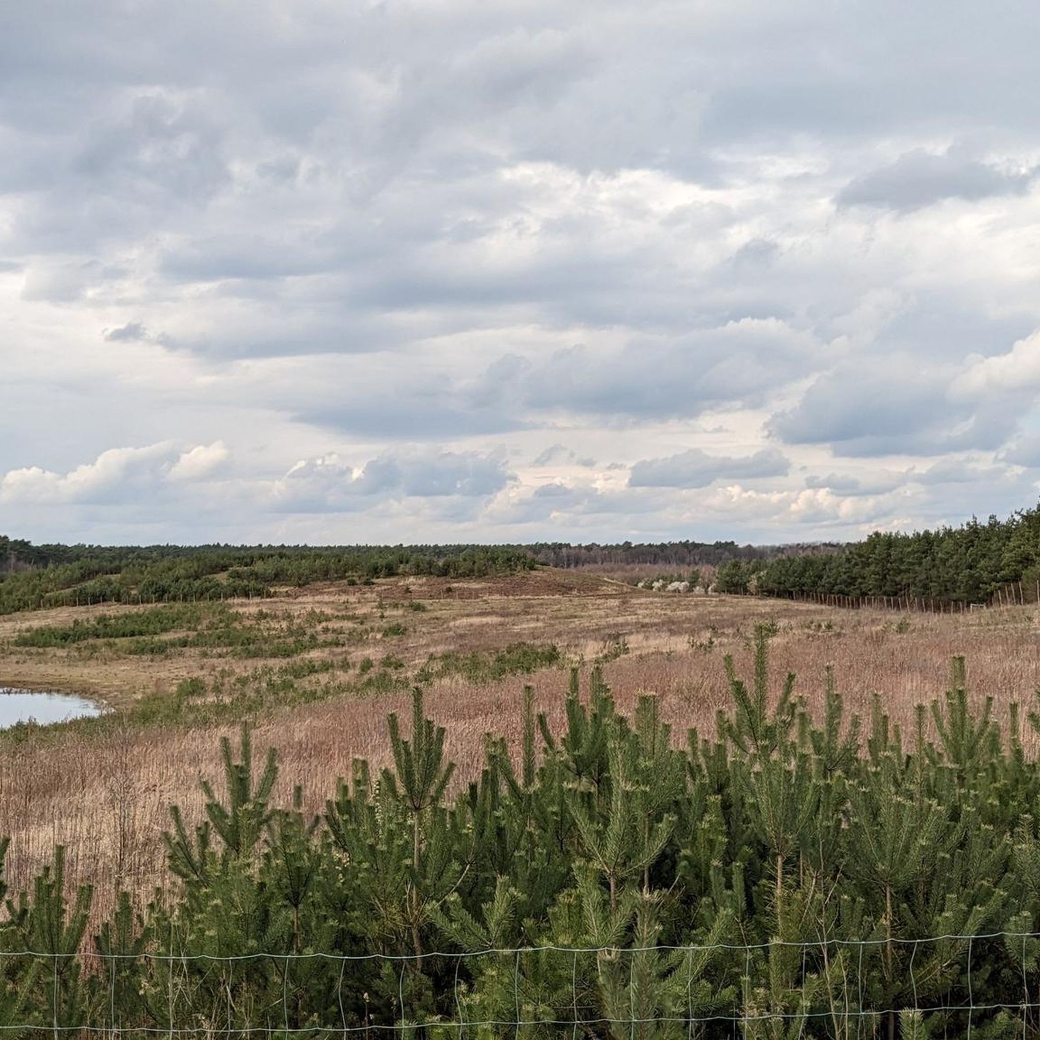
MTB Trails in Üfter-, Rüster- Und Emmelkämper Mark
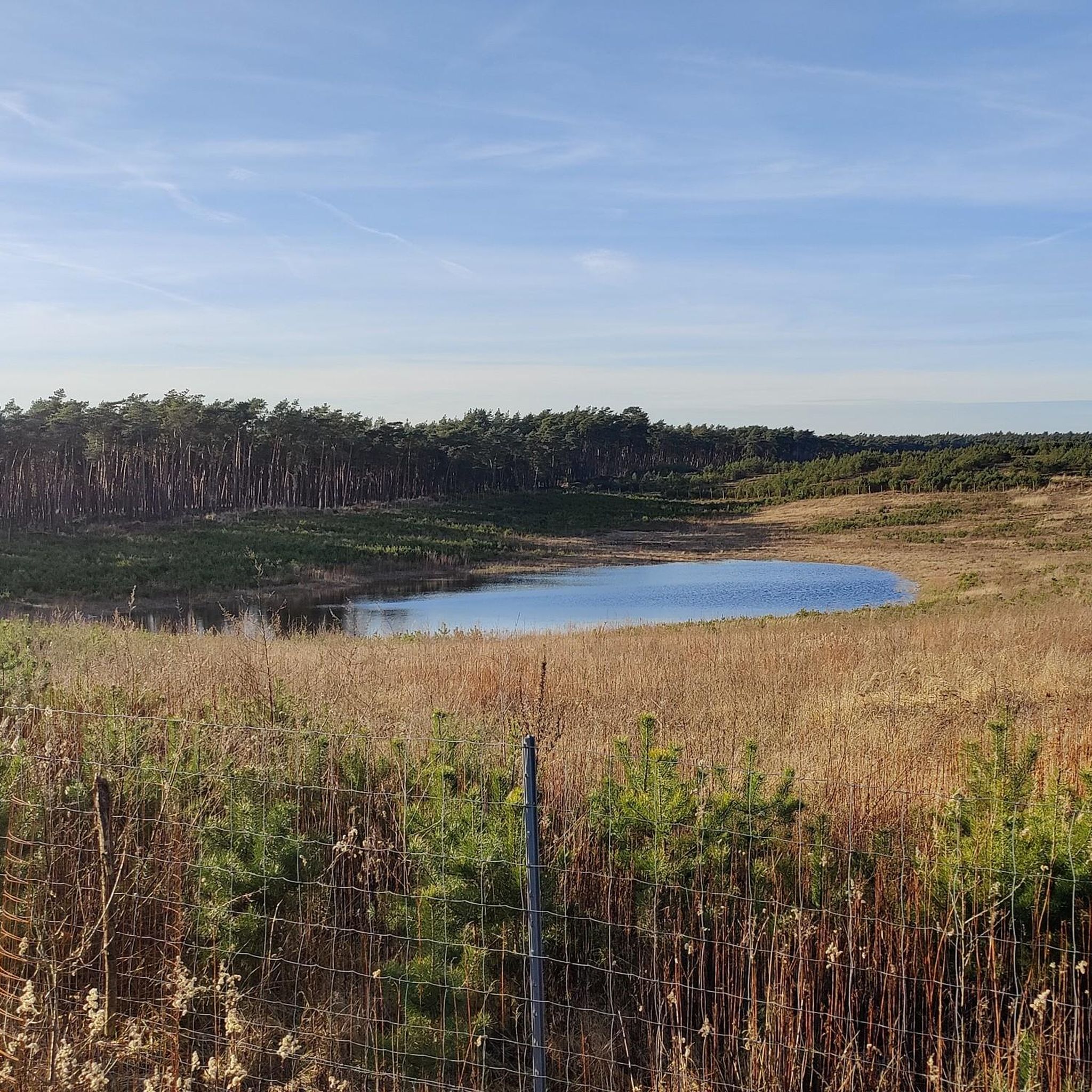
Road Cycling Routes in Üfter-, Rüster- Und Emmelkämper Mark
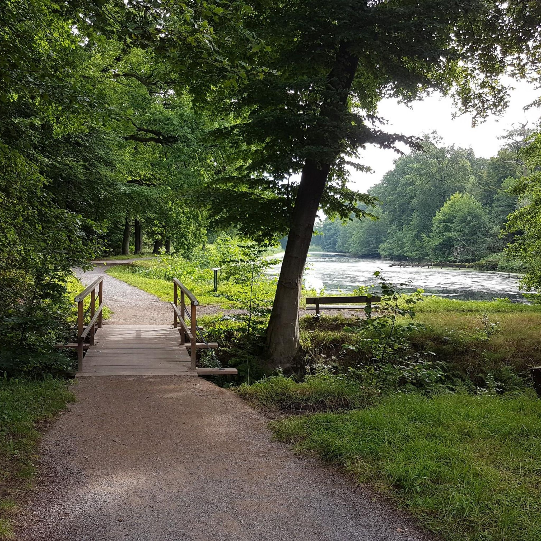
Gravel biking in Üfter-, Rüster- Und Emmelkämper Mark

Running Trails in Üfter-, Rüster- Und Emmelkämper Mark
Other adventures in Üfter-, Rüster- Und Emmelkämper Mark

Tips from the Community

This sacral wayside shrine is dedicated to Saint Nicholas of Flüe (after the village of Flüeli in the Swiss canton of Obwalden), but he is much better known by the simple name he himself used, "Bruder Klaus". He lived from 1417 to 1487 and is revered as a hermit, mystic, and peacemaker. The feast day of Bruder Klaus, who would surely have appreciated the simple yet dignified design here, in the calendar of saints is on March 21 (the day of his death). He is the national saint of Switzerland.
2
0


Past the ammunition supply center, great back road.
0
0

Here, a dune was re-excavated to restore the area to its original state. A panel vividly explains what it once looked like and how the former shifting dune was restored. There's now room for other animal species, such as the ant lion.
0
0

At this point along the canal, the Hochstaden Bridge (pedestrian-only) connects Dorsten's city center with the high school, adult education center, and city library on the other side. The bridge, named after an archbishop who once granted Dorsten city rights, is also known colloquially as the "Hüttchenbrücke" (small-hat bridge). It's easy to see why.
1
0
At this point along the canal, the Hochstaden Bridge (pedestrian-only) connects Dorsten's city center with the high school, adult education center, and city library on the other side. The bridge, named after an archbishop who once granted Dorsten city rights, is also known colloquially as the "Hüttchenbrücke" (small-hat bridge). It's easy to see why.
3
0

Very nice shelter
0
0

The bridge with its pulpits is very futuristic.
4
0
Frequently Asked Questions
How many touring cycling routes are there in Üfter-, Rüster- Und Emmelkämper Mark?
There are over 1,200 touring cycling routes available in Üfter-, Rüster- Und Emmelkämper Mark, offering a wide range of options for all skill levels. You'll find routes varying from easy to difficult, ensuring there's something for everyone.
What kind of terrain can I expect on touring cycling routes in Üfter-, Rüster- Und Emmelkämper Mark?
The region offers a diverse landscape for touring cyclists. You can expect to ride through extensive forests, including pine and mixed woodlands, as well as open heathlands and smaller moor areas. There are also unique sandy sections and dunes, remnants of ice-age glaciers, contributing to varied terrain. Many routes feature well-maintained paths, some of which are likely paved or suitable for touring bikes.
Are there routes suitable for families or beginners?
Yes, Üfter-, Rüster- Und Emmelkämper Mark has many routes suitable for families and beginners. Over 770 of the available routes are classified as easy, providing gentle gradients and manageable distances. For example, the Wesel-Datteln Canal – Canal Promenade loop from Schermbeck is an easy 22.3 km route that follows a canal, offering a relaxed ride.
Are there circular touring cycling routes available?
Absolutely. Many touring cycling routes in the region are designed as loops, allowing you to start and end at the same point. The Pröbstingsee Recreation Area – View of Raesfeld Castle loop from Erle is a popular 37.3 km circular route, and the Üfter Mark Forest Trail – Blue Bridge at the Weir loop from Widau offers a longer 64.3 km loop through the forest.
What natural features can I see along the touring cycling routes?
The routes showcase the region's rich natural diversity. You'll encounter extensive forests, open heathlands, and unique sandy sections. The Lippe river flows south of the area, and other water features like canals add to the scenic beauty. Keep an eye out for wildlife, as the area is known for red deer and wild boars, especially near observation platforms like the Üfter Mark Wildlife Observation Platform.
Are there any interesting landmarks or viewpoints to discover while cycling?
Yes, there are several points of interest. Routes often pass by significant natural features and historical sites. For instance, the Pröbstingsee Recreation Area – View of Raesfeld Castle loop from Erle offers views of a historic castle. You can also visit the Hirschpfad Information Board, Üfter Mark, or the Üfter Mark Wildlife Observation Platform for scenic stops.
Can I observe wildlife during my cycling tour?
Yes, the Üfter-, Rüster- und Emmelkämper Mark region is known for its wildlife, including red deer and wild boars. You have a good chance of spotting them, especially from designated platforms like the Üfter Mark Wildlife Observation Platform (also known as Rhader Kanzel). Cycling quietly through the forest areas increases your chances of an encounter.
Is public transport available to access the cycling routes?
While specific public transport connections directly to all trailheads might vary, the region is part of North Rhine-Westphalia, Germany, which generally has good public transport infrastructure. For detailed information on bus or train services that accommodate bicycles to specific starting points, it's best to check local transport schedules for towns like Schermbeck or Erle.
Where can I find parking for my touring cycling trip?
Many popular starting points for cycling routes, especially in and around towns like Schermbeck or near recreational areas, typically offer parking facilities. It's advisable to check the specific route details on komoot for recommended parking spots near the trailhead you plan to use.
Are there places to eat or stay near the cycling routes?
Yes, the towns and villages surrounding the Üfter-, Rüster- und Emmelkämper Mark, such as Schermbeck, offer various options for cafes, restaurants, and accommodation. You'll find places to refuel and rest after your ride, ranging from cozy guesthouses to local eateries.
Are dogs allowed on the touring cycling routes?
Generally, dogs are permitted on public paths and trails in the region, but they should always be kept on a leash, especially in nature reserves and areas with wildlife. Please be mindful of other users and local regulations, particularly in sensitive natural areas.
What do other touring cyclists enjoy the most about touring cycling in Üfter-, Rüster- Und Emmelkämper Mark?
The area is highly rated by the komoot community, with an average score of 4.6 stars from over 8,000 reviews. Reviewers often praise the diverse landscapes, the tranquility of the extensive forests, and the well-maintained paths that make for enjoyable touring. The variety of routes, from canal-side rides to forest trails, is also frequently highlighted.
What is the best time to visit for touring cycling?
The varied scenery and extensive forests make Üfter-, Rüster- und Emmelkämper Mark enjoyable for touring cycling throughout much of the year. Spring and autumn offer pleasant temperatures and beautiful foliage, while the shaded forest paths provide a welcome respite during warmer summer months. Always check local weather conditions before your ride.
Most popular routes in Üfter-, Rüster- Und Emmelkämper Mark
Most popular attractions in Üfter-, Rüster- Und Emmelkämper Mark

Get inspired with the komoot mobile app


Explore more
Browse the best Cycling routes in other regions.
