The best cycling routes in Obere Allerniederung Bei Celle
4.4
(5406)
23,758
riders
1,135
rides
Touring cycling in Obere Allerniederung Bei Celle features routes through the lowlands of the Aller river, characterized by flat terrain and gentle gradients. The region offers a network of paths suitable for relaxed cycling, often following river courses and passing through rural landscapes. This area provides accessible routes for exploring the natural environment around Celle.
Best touring cycling routes in Obere Allerniederung Bei Celle
- The most popular touring cycling route is Upper Aller Lowlands near Celle – Gertrudenkirche Altencelle loop…
Last updated: July 3, 2026
4.5
(76)
297
riders
Easy bike ride. Great for any fitness level. Mostly paved surfaces. Suitable for all skill levels.
4.4
(69)
190
riders
23.4km
01:23
70m
70m
Easy bike ride. Great for any fitness level. Mostly paved surfaces. Suitable for all skill levels.

Sign up for free
4.6
(15)
51
riders
Moderate bike ride. Good fitness required. Mostly paved surfaces. Suitable for all skill levels.
4.7
(19)
88
riders
Easy bike ride. Great for any fitness level. Mostly paved surfaces. Suitable for all skill levels.
4.8
(5)
29
riders
Easy bike ride. Great for any fitness level. Mostly paved surfaces. Suitable for all skill levels.
Get access to more routes and recommendations from other explorers.
Sign up for free
Already have an account?
Our route recommendations are based on thousands of hikes, rides, and runs completed by other people on komoot.
Start today with a free account
Your next adventure awaits.
Login or Signup

Tips from the Community

The old Aller ford near Celle is considered the origin of today's city of Celle. As early as the year 985 or 992, the place Altencelle was mentioned as "Kellu". The place owes its origin to its favorable location at a ford across the Aller, where important trade and military routes ran. This led to the early development of a settlement with a castle and a customs post. It was not until 1292 that the city was moved to its present location.
0
0

I looked at it, but couldn't find anything that would make the place a highlight.
0
0
View of birds of prey and waterfowl in a great landscape with two ponds and associated flora and fauna. Even after the platform was freshly rebuilt last year after a fire, there are still no seating facilities, which are not really needed with the great view on two levels... More information about the 'Michelwiese' can be found here: gemeinde-nienhagen.de/kultur-freizeit/natur/michelwiese.html
0
0
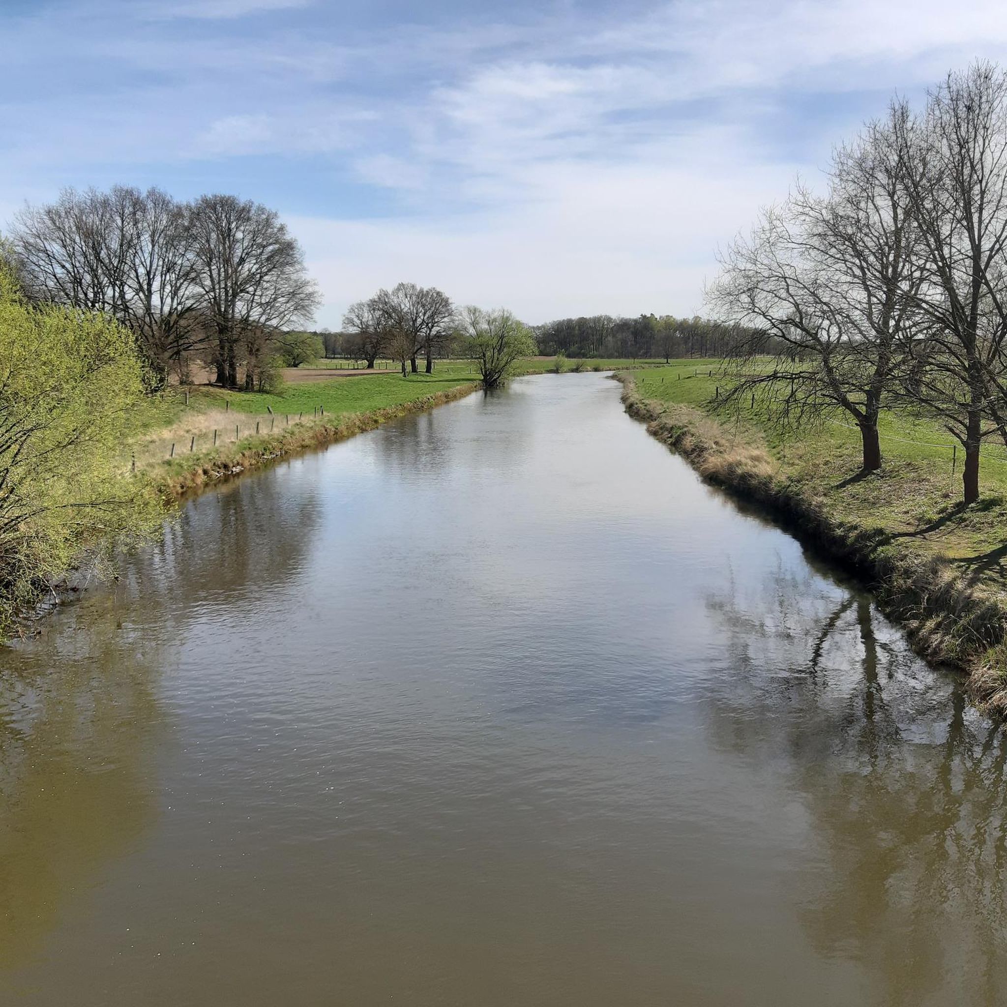
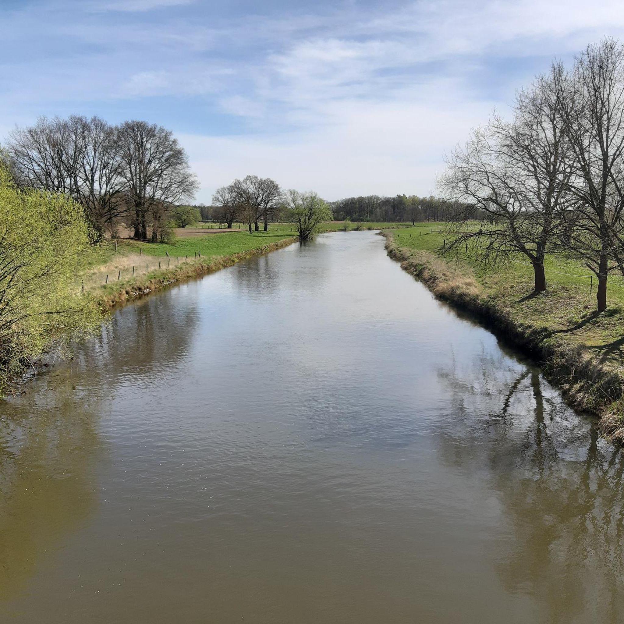
It's great that parts of the route and thus also the bridges of the old Plockhorst–Peine railway line [https://de.wikipedia.org/wiki/Bahnstrecke_Plockhorst%E2%80%93Peine], which connected Celle and Peine, have become one of the most attractive routes for cycling.
0
0

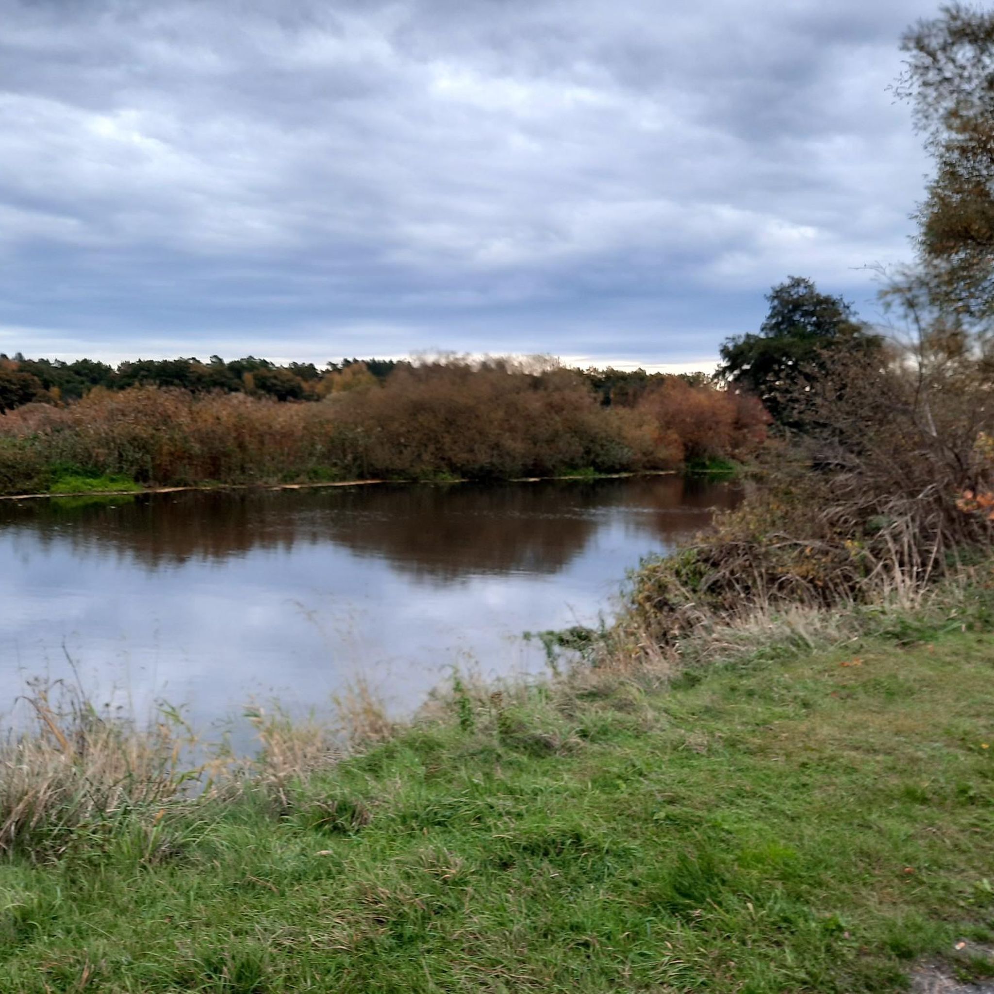
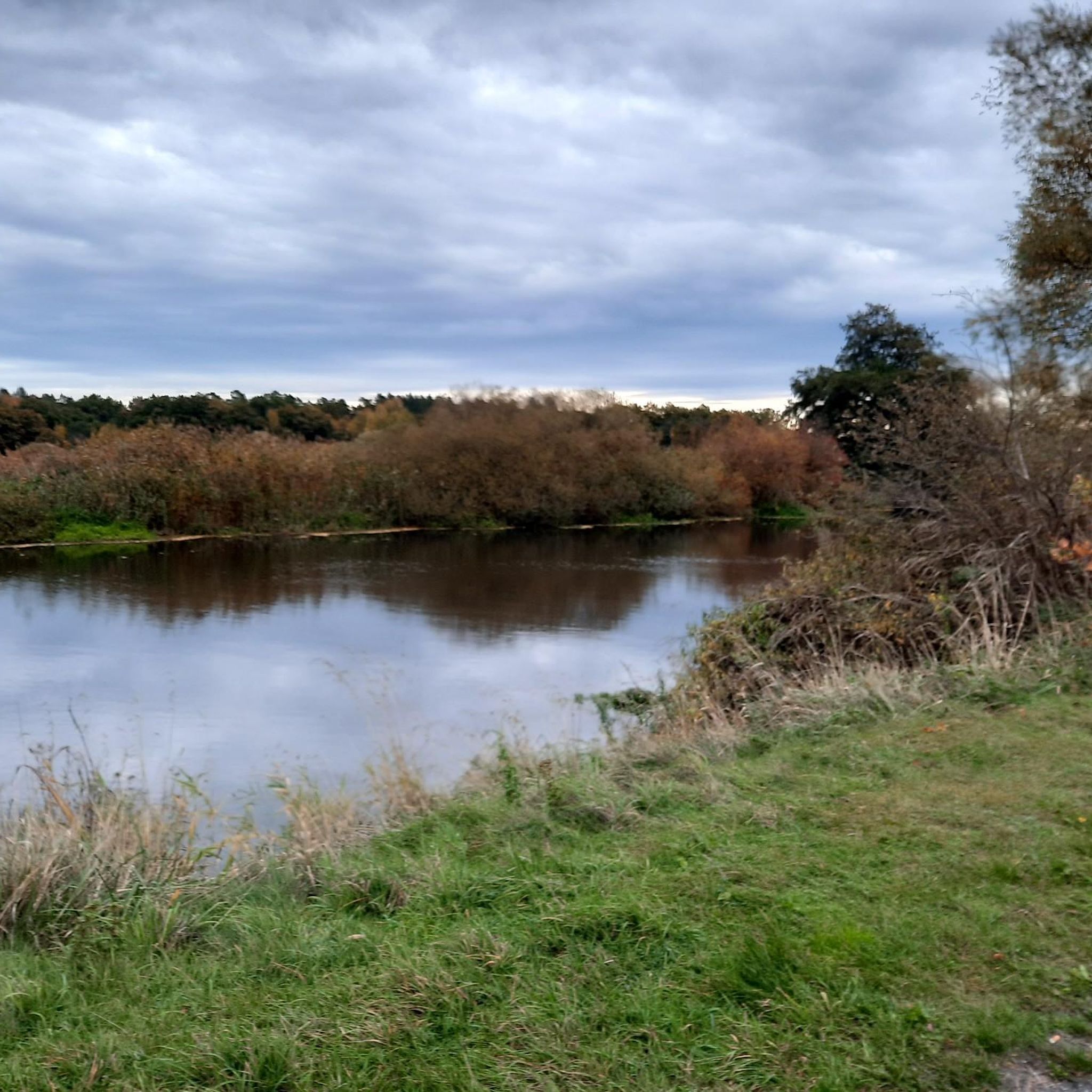
Here you can let your soul dangle.
0
0

Many cycling junkies love bridges like this
0
0
Pure nature for the many small creatures in and by the water
0
0
Frequently Asked Questions
How many touring cycling routes are available in Obere Allerniederung Bei Celle?
There are over 1,100 touring cycling routes recorded in Obere Allerniederung Bei Celle on komoot, offering a wide variety of options for exploring the region.
What kind of terrain can I expect on touring cycling routes in Obere Allerniederung Bei Celle?
The region is characterized by the lowlands of the Aller river, meaning you can expect mostly flat terrain and gentle gradients. Routes often follow river courses and pass through rural landscapes, making them suitable for relaxed cycling.
Are there touring cycling routes suitable for beginners or families?
Yes, Obere Allerniederung Bei Celle is very beginner and family-friendly. Over 800 of the routes are rated as easy. An excellent option for a relaxed ride is the Upper Aller Lowlands near Celle – Gertrudenkirche Altencelle loop from Celle, which is 10 miles long and explores historic sites.
What do other cyclists say about touring in Obere Allerniederung Bei Celle?
The touring cycling routes in Obere Allerniederung Bei Celle are highly rated by the komoot community, with an average score of 4.5 stars from over 5,200 reviews. More than 23,000 touring cyclists have used komoot to explore the area, often praising the peaceful river valleys and accessible paths.
Are there any challenging touring cycling routes in the region?
While the region is generally flat, there are some routes that offer a bit more distance or varied terrain. You can find over 100 routes rated as difficult, though 'difficult' in this context typically refers to longer distances rather than steep climbs. For a moderate option, consider the Cycle path at Lerchenberg – Aller Cycle Path near Oldau loop from Celle, which is 21.3 miles long.
Can I find circular touring cycling routes in Obere Allerniederung Bei Celle?
Yes, many touring cycling routes in the region are designed as loops, allowing you to start and end at the same point. For example, the Pfennig Bridge, Celle – Old Town Hall, Celle loop from Celle offers a 14.5-mile circular path with views of the Aller river and historic Celle.
Are there long-distance touring cycling options in the area?
The region is part of the Aller river valley, which is known for its long-distance cycle paths like the Aller Cycle Path. Many local routes connect to or incorporate sections of these longer trails, providing opportunities for extended rides through riverine landscapes.
What interesting landmarks or natural sights can I see along the touring cycling routes?
Along the routes, you can explore various points of interest. Highlights include the Obere Allerniederung Nature Reserve near Celle, the historic Albrecht Thaer House, and the serene Medicinal herb garden. You might also encounter the impressive Chestnut Avenue on the Osterdeich.
Are there any routes that pass through the historic town of Celle?
Yes, several routes offer views of or pass directly through the historic town of Celle. The Pfennig Bridge, Celle – Old Town Hall, Celle loop from Celle is a great example, allowing you to experience the town's charm while cycling.
What is the best time of year for touring cycling in Obere Allerniederung Bei Celle?
The flat terrain and river-side paths make the region enjoyable for touring cycling from spring through autumn. Spring offers blooming landscapes, summer provides warm weather for leisurely rides, and autumn showcases beautiful foliage. Winter cycling is possible, but paths may be wet or icy.
Are there routes that explore the Fuhse river area?
Yes, some routes venture into the Fuhse river area, which is another tributary of the Aller. The Fuhse Bridge in Celle – Eiscafé Dal An loop from Blumlage/Altstadt is an easy 16.8-mile route that explores this part of the landscape.
Can I find routes that are mostly away from busy roads?
Many routes in Obere Allerniederung Bei Celle utilize dedicated cycle paths and quiet country roads, especially those following the Aller river or passing through nature reserves. The focus on rural landscapes and river courses generally provides a peaceful cycling experience away from heavy traffic.
Most popular routes in Obere Allerniederung Bei Celle
Most popular attractions in Obere Allerniederung Bei Celle

Get inspired with the komoot mobile app


Explore more
Browse the best Cycling routes in other regions.
