The best road cycling routes in Kaiserwinkel
4.5
(77)
547
riders
45
rides
Road cycling routes in Kaiserwinkl are set against the backdrop of the Tyrolean Alps, featuring the Kaiser Mountains with their rugged Wilder Kaiser and gentler Zahmer Kaiser ranges. The region includes picturesque valleys like Kaisertal and Kaiserbachtal, alongside the scenic Lake Walchsee. The terrain offers a mix of dramatic peaks, alpine meadows, and traditional farmlands, providing varied cycling experiences.
Best road cycling routes in Kaiserwinkel
- The most popular road cycling route is Drömling Biosphere Reserve loop from Jahrstedt, a…
Last updated: July 11, 2026
3.7
(3)
17
riders
23.5km
00:56
50m
50m
Moderate road ride. Great for any fitness level. Some segments of this route may be unpaved and difficult to ride.
5.0
(3)
34
riders
Moderate road ride. Good fitness required. Mostly well-paved surfaces and easy to ride.

Sign up for free
25
riders
68.1km
02:44
360m
360m
Moderate road ride. Good fitness required. Mostly well-paved surfaces and easy to ride.
16
riders
Moderate road ride. Good fitness required. Some segments of this route may be unpaved and difficult to ride.
5.0
(3)
15
riders
31.9km
01:16
60m
60m
Moderate road ride. Great for any fitness level. Some segments of this route may be unpaved and difficult to ride.
Get access to more routes and recommendations from other explorers.
Sign up for free
Already have an account?
Our route recommendations are based on thousands of hikes, rides, and runs completed by other people on komoot.
Start today with a free account
Your next adventure awaits.
Login or Signup
Tips from the Community

The eternal crooked church tower of Trippigleben is a rewarding stop for anyone exploring the Altmark on foot or by bike. The quiet, expansive landscape around Trippigleben offers predominantly flat paths and little traffic – ideal for a relaxed tour. A short break at the crooked church tower is worthwhile to admire the extraordinary structure and enjoy the rural atmosphere. Beautiful photo opportunities arise especially in the morning or evening hours, when the warm light showcases the historic tower. Those who like to venture off the beaten tourist paths will find a small, charming highlight with regional character here.
0
0
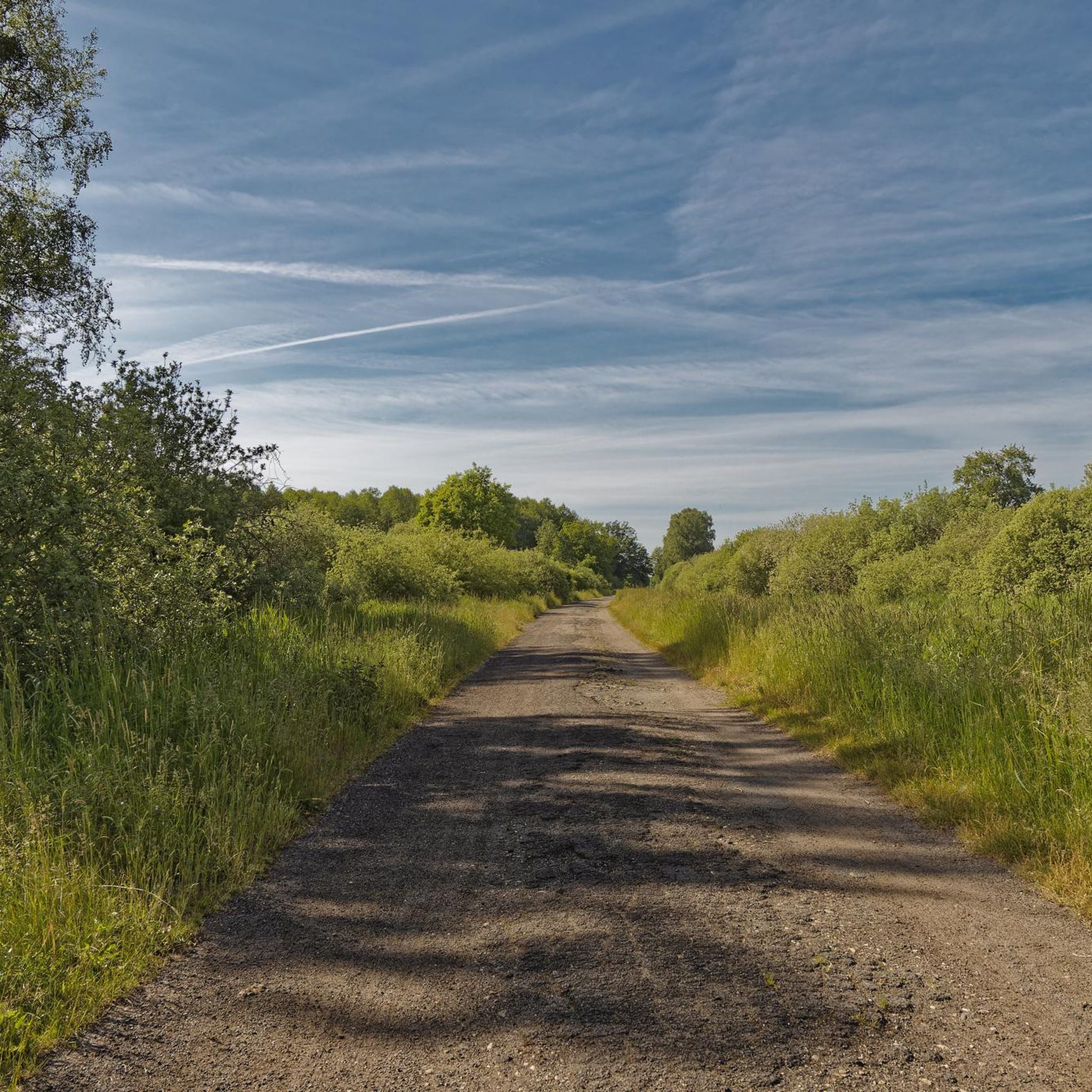
Between Rätzlingen and Velpke, a small tip for the journey is particularly worthwhile: Don't just stick to the 'from A to B' route, but take time for the quiet transitions between landscape and railway. It is precisely where old railway tracks, field paths, and open meadows meet, that flower meadows and wide railway views alternate in an almost surprisingly calm manner. In spring and summer, the grasses grow tall, often accompanied by wildflowers – and just a few steps away, the tracks of former or still used railway lines run straight through the landscape.
0
0
The Mittelland Canal near Buchhorst lies in a rather quiet section of the major west-east waterway in Lower Saxony, approximately between Gifhorn, Wolfsburg, and Calvörde. This area is among the more open and less urbanized stretches of the canal.
0
0
The village church of Grafhorst is a small, typically rural church that shapes the village landscape of Grafhorst in Lower Saxony. Such village churches are often kept very simple, but have a special historical and communal value for the region. A short tip: When visiting, pay special attention to the quiet atmosphere inside and the often lovingly maintained details such as old woodwork or historical gravestones around the church. Especially in small villages, it is often worth taking a look at the surroundings of the church – it is usually the historical center of the village and tells a lot about the local history.
0
0
The Aller near Grafhorst is a quiet stretch of the Aller river (river), which is particularly suitable for walks and nature observation.
0
0

Very elaborate and created with great attention to detail.
0
0
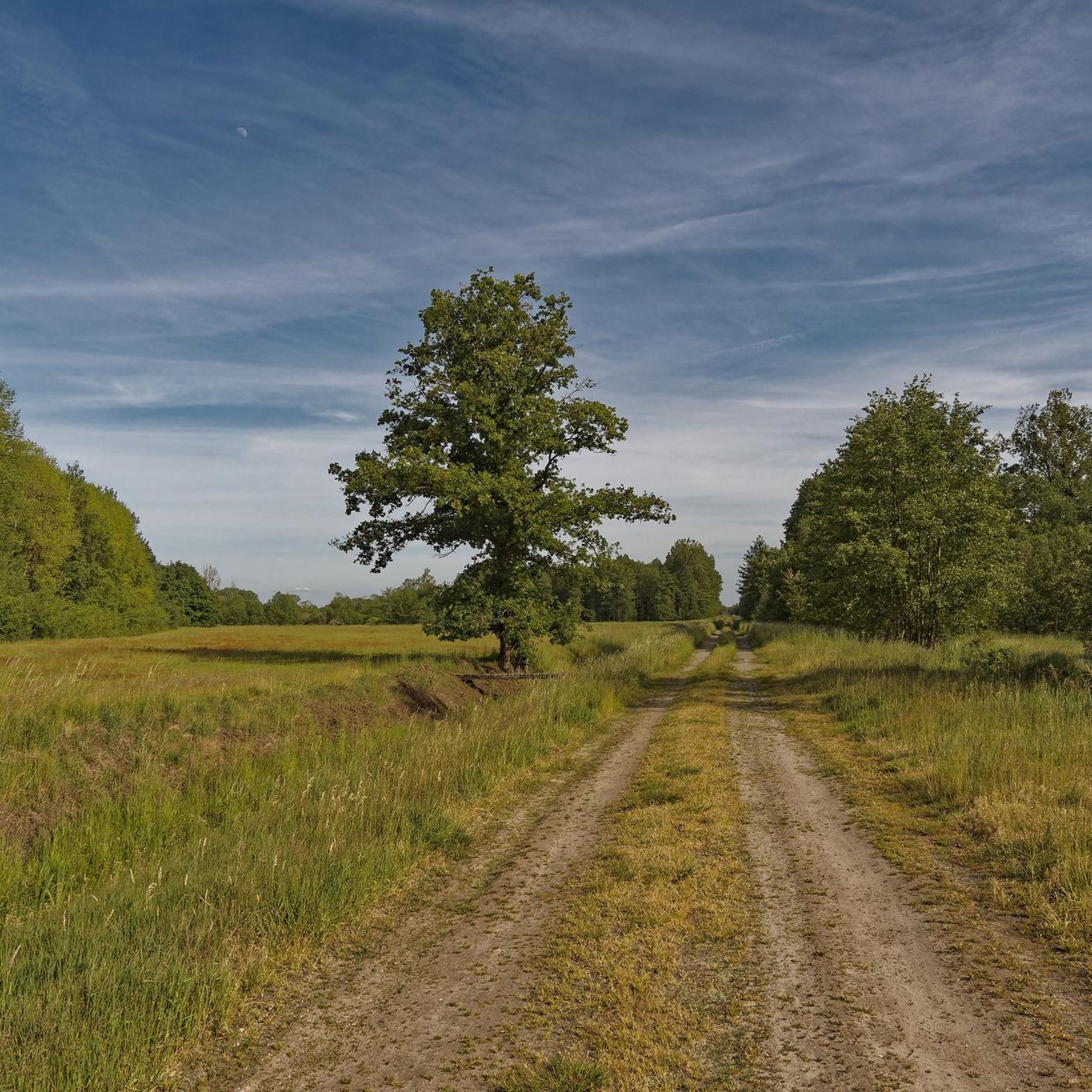
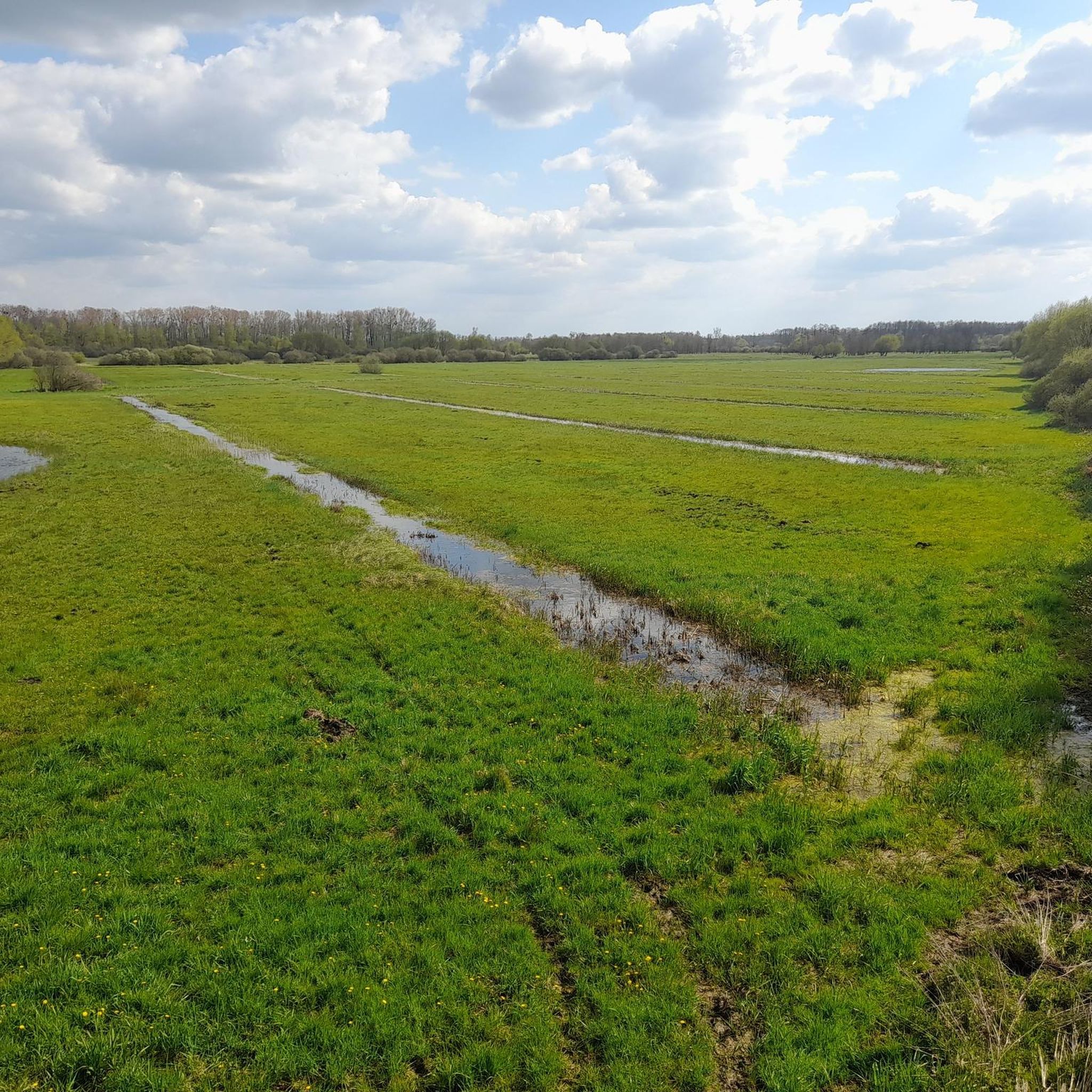
The Drömling, often referred to as the „Land of a Thousand Ditches“, is a fascinating low moor landscape on the border between Saxony-Anhalt and Lower Saxony. Since 2023, the Drömling officially bears the title UNESCO Biosphere Reserve. Previously, it had already been recognized as a national biosphere reserve (according to state law of Saxony-Anhalt) since 2019.
0
0
Without the canal, Wolfsburg would probably not exist in its current form. When the city and the Volkswagen factory were planned in the late 1930s, the connection to the Mittelland Canal was crucial for transporting coal for its own power plant and for the removal of manufactured vehicles.
0
0
Frequently Asked Questions
How many road cycling routes are available in Kaiserwinkl, and what are their difficulty levels?
Kaiserwinkl offers nearly 50 road cycling routes, catering to various skill levels. You'll find 11 easy routes, 35 moderate routes, and 1 challenging route, ensuring there's something for every cyclist.
Are there any easy or beginner-friendly road cycling routes in Kaiserwinkl?
Yes, Kaiserwinkl has 11 easy road cycling routes perfect for beginners or those seeking a relaxed ride. These often feature flatter terrain, such as the scenic paths around Lake Walchsee or meandering rural roads through the valleys.
What are some challenging road cycling routes in Kaiserwinkl for experienced riders?
For experienced riders seeking a challenge, Kaiserwinkl offers routes that include significant ascents into the Tyrolean Alps. While there is one specifically rated as 'difficult' in our collection, many of the moderate routes can be combined or extended to create more demanding rides, often involving panoramic roads and higher alpine passes within the Kaiser Mountains.
Are there family-friendly road cycling options in Kaiserwinkl?
Absolutely. The region boasts over 200 kilometers of cycle paths, many of which are suitable for families. Look for routes around Lake Walchsee or those that stick to the gentler valley floors, offering a safe and enjoyable experience for all ages. These often avoid major climbs and busy roads.
What kind of scenic viewpoints or attractions can I expect along the road cycling routes in Kaiserwinkl?
Road cycling in Kaiserwinkl offers breathtaking views of the Kaiser Mountains, Lake Walchsee, and picturesque valleys. You might encounter highlights such as the Kaiserwinkel Observation Tower, offering expansive vistas, or pass through natural areas like the Wet meadows and ditches, showcasing the region's diverse ecosystems.
Are there any good loop trails for road cycling in Kaiserwinkl?
Yes, Kaiserwinkl is known for its excellent loop trails. The region's extensive network of cycle paths allows for many circular routes, including the popular Kaiser circuit mentioned in regional research, which lets you experience the diverse landscape around the Kaiser Mountains. For a moderate option, consider the Drömling Biosphere Reserve loop from Jahrstedt, a 23.5 km route with minimal elevation.
What do other road cyclists enjoy most about road cycling in Kaiserwinkl?
The komoot community highly rates road cycling in Kaiserwinkl, with an average score of 4.5 stars from over 70 reviews. Cyclists often praise the stunning mountain backdrops, the variety of terrain from valley roads to challenging ascents, and the well-maintained network of paths that cater to all abilities.
When is the best time of year for road biking in Kaiserwinkl?
The summer months are ideal for road biking in Kaiserwinkl. The weather is generally pleasant, and all routes, including those at higher elevations, are typically clear. This season allows you to fully enjoy the lush alpine meadows and the vibrant natural scenery.
Are there any routes that offer a mix of flat sections and gentle climbs?
Many routes in Kaiserwinkl provide a varied experience. For example, the Crossing Mittelland Canal – Leaning Church Tower in Binde loop from Oebisfelde is a moderate 62.8 km path that includes a canal crossing and passes by a distinctive church tower, offering a mix of terrain without extreme climbs.
Can I find routes that explore historical landscapes in Kaiserwinkl?
Yes, some routes offer glimpses into the region's history. The Helmstedt Village Pond – View Over the Old Border Strip loop from Oebisfelde is a 68.0 km trail that leads through varied terrain with views over historical landscapes, providing a unique perspective during your ride.
Are there road cycling routes that follow rivers or canals in Kaiserwinkl?
Yes, you can find routes that incorporate waterways. The The River Aller at Grafhorst – Crossing Mittelland Canal loop from Oebisfelde is a moderate 39.0 km route that follows the River Aller and crosses the Mittelland Canal, offering a different kind of scenic experience.
What is a good moderate-length route for a day trip in Kaiserwinkl?
For a moderate-length day trip, consider the View of the Aller – Crossing Mittelland Canal loop from Oebisfelde. This easy 49.4 km route provides pleasant cycling with views of the Aller and a canal crossing, making for an enjoyable outing without being overly strenuous.
Most popular routes in Kaiserwinkel
Most popular attractions in Kaiserwinkel

Get inspired with the komoot mobile app


Explore more
Browse the best Road cycling routes in other regions.
