The best walks and hikes in Burgesroth-Bruchholz
4.6
(26420)
84,601
hikers
882
hikes
Hiking trails in Burgesroth-Bruchholz traverse a landscape characterized by the Selke River valley and surrounding woodlands. The region features varied terrain, including moderate ascents and descents, with some areas offering views of the Harz mountains. Paths often follow river courses and lead through forested areas, providing a mix of natural environments for outdoor activities.
Best hiking trails in Burgesroth-Bruchholz
- The most popular hiking route is Selke Valley Trail – Root Tunnel on the Selke River loop from Burgesroth-Bruchholz, a…
Last updated: October 8, 2026
4.5
(11)
41
hikers
Moderate hike. Good fitness required. Easily-accessible paths. Suitable for all skill levels.
4.7
(6)
34
hikers
Hard hike. Very good fitness required. Mostly accessible paths. Sure-footedness required.

4.6
(30)
118
hikers
3.46km
00:54
20m
20m
Easy hike. Great for any fitness level. Easily-accessible paths. Suitable for all skill levels.
5.0
(7)
15
hikers
Hard hike. Very good fitness required. Mostly accessible paths. Sure-footedness required.
4.5
(6)
23
hikers
Moderate hike. Good fitness required. Easily-accessible paths. Suitable for all skill levels.
Get access to more routes and recommendations from other explorers.
Already have an account?
Our route recommendations are based on thousands of hikes, rides, and runs completed by other people on komoot.
Start today with a free account
Your next adventure awaits.
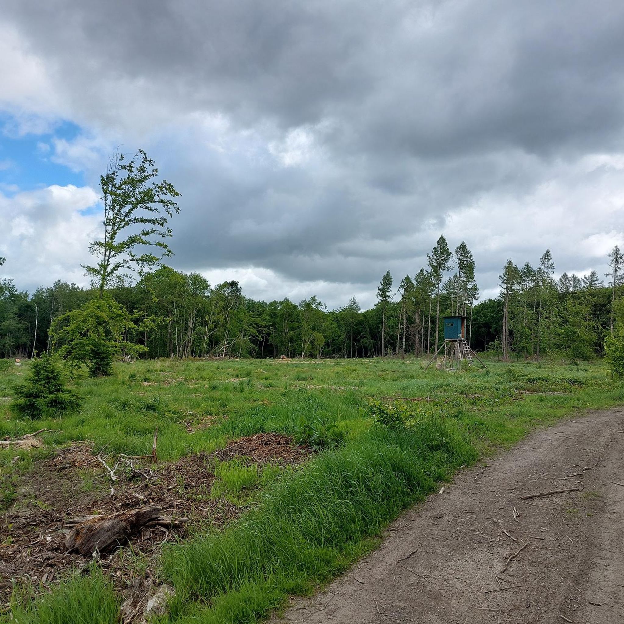
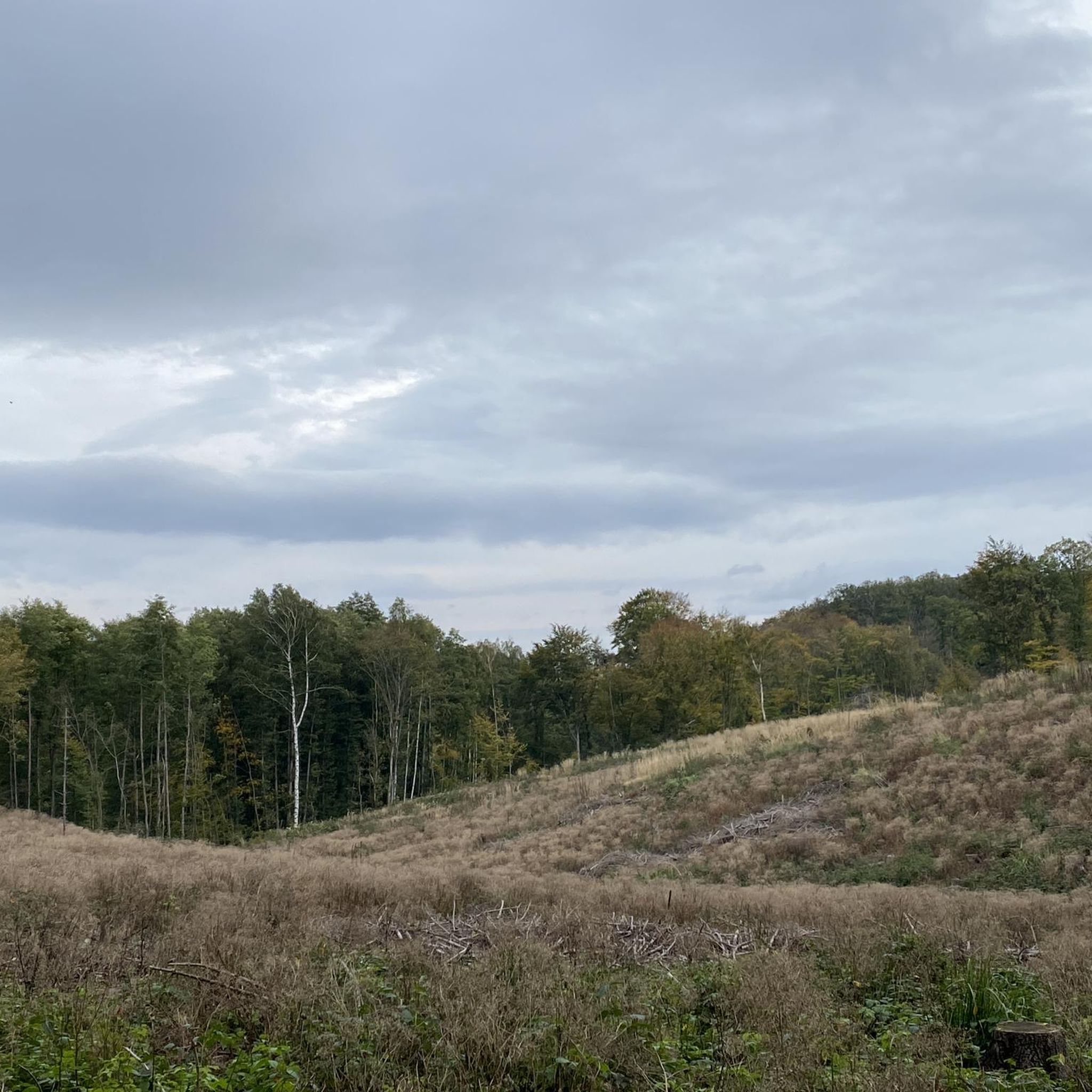
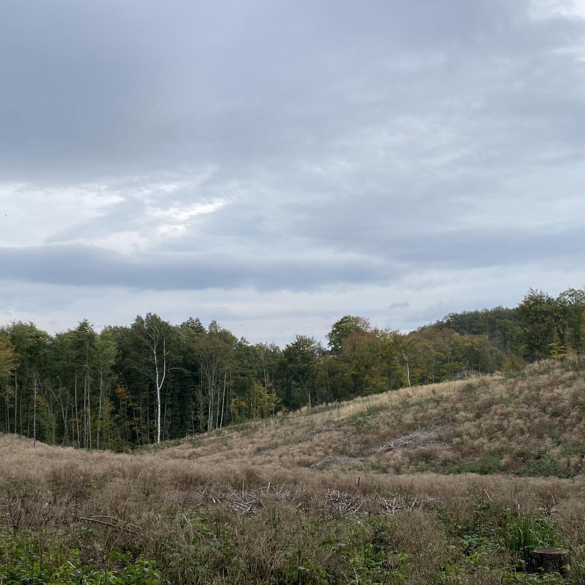
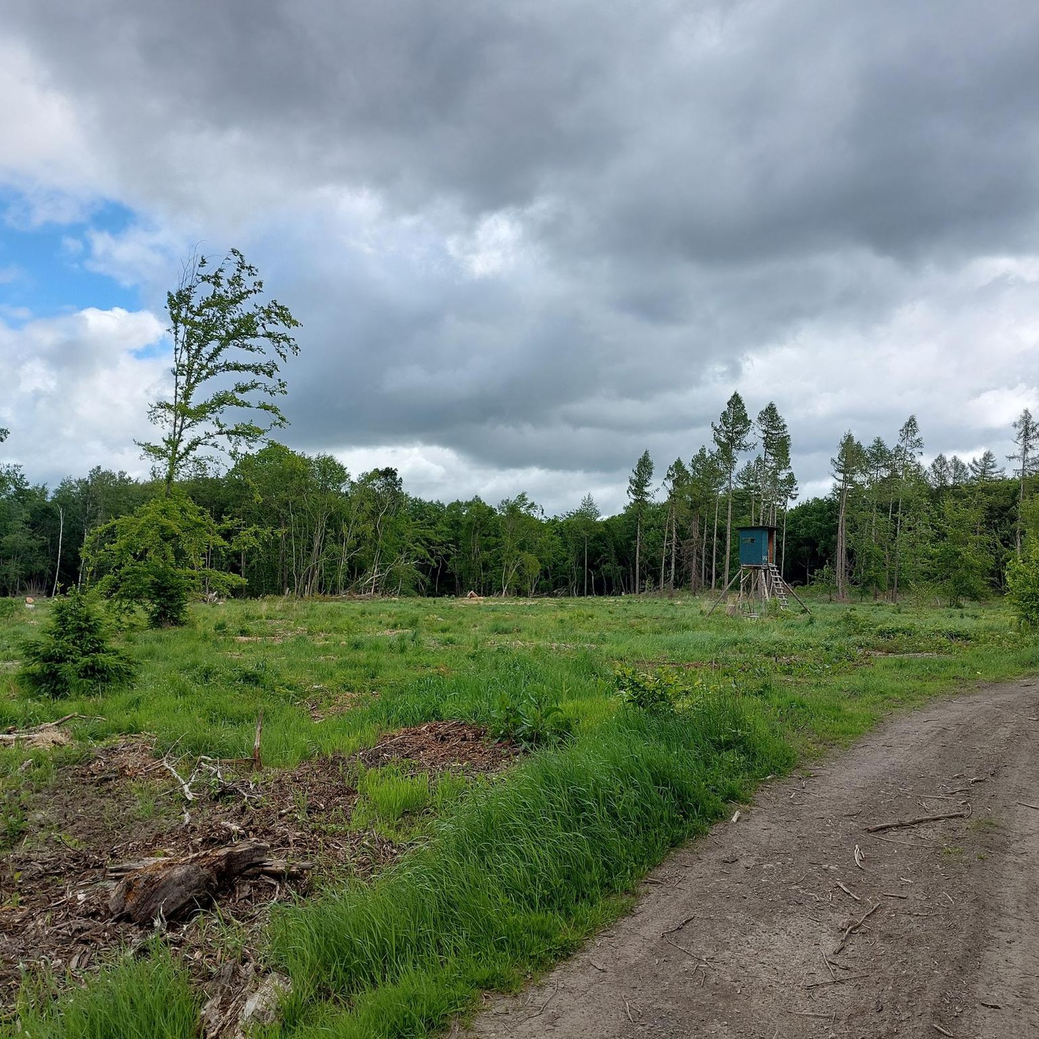
Tips from the Community

The pond was created in 1794 as a fish pond and served for the supply of drinking water to Ballenstedt from 1951. At the beginning of the 90s, this was discontinued. Source: Information board
3
0

A nice spot for a little rest with a wonderful view.
0
0

The final ascent to the castle becomes a bit steeper.
1
0

The highlight is already here. Why make another one? I've reported it.
0
0
Is it possible to simply check beforehand where you're going to create these highlights? It's getting worse and worse with Komoot that some people are creating highlights where they're not even there.
0
0

The spot is actually called "Lampe" (like light) and is the narrowest point in the Selke Valley. The rocks are only 15 meters apart at their narrowest point. The bridge over the Selke River is accordingly called the "Lampenbrücke" (Lamp Bridge).
0
0

The figure appears to be incorrectly located on the map. It can be found next to the shelter at Meisdorfer Trift.
0
0

Just take a quick look and then move on.
1
0
Frequently Asked Questions
How many hiking trails are available in Burgesroth-Bruchholz?
Burgesroth-Bruchholz offers a wide variety of hiking experiences, with nearly 900 routes available. These range from easy strolls to challenging full-day treks through the Selke River valley and surrounding woodlands.
Are there easy hiking trails suitable for beginners or families?
Yes, there are over 390 easy routes in Burgesroth-Bruchholz. A great option for a relaxed walk is the Musikantenstieg Trail – The Schirm (HWN 182) loop from Burgesroth-Bruchholz, which is 2.1 miles (3.5 km) long and takes about 1 hour to complete, leading through pleasant forested areas.
What kind of terrain can I expect on hikes in Burgesroth-Bruchholz?
The region's hiking trails traverse a diverse landscape, characterized by the Selke River valley and dense woodlands. You'll encounter varied terrain, including moderate ascents and descents, with some paths offering views towards the Harz mountains. Many routes follow river courses, providing a mix of natural environments.
Are there any challenging routes for experienced hikers?
Absolutely. For those seeking a more demanding experience, there are over 100 difficult routes. The Bremer Pond – Bremer Teich loop from Burgesroth-Bruchholz is a challenging 13.1-mile (21.1 km) hike with significant elevation changes, offering a rewarding adventure.
What are some interesting natural landmarks or attractions to see along the trails?
Hikers can discover several notable natural monuments and points of interest. Consider visiting the Three Dead Trees of Burgesroth-Bruchholz or the Winter Lime Tree Natural Monument. The Upper Amtmannstal Biotope also offers a unique natural setting.
Are there any circular hiking routes in the area?
Yes, many of the trails in Burgesroth-Bruchholz are designed as circular routes, allowing you to start and end at the same point. An example is the Harz Greywacke (HWN 61) – Großer Siebersteinsteich loop from Burgesroth-Bruchholz, a moderate 5.3-mile (8.5 km) trail.
What do other hikers say about the trails in Burgesroth-Bruchholz?
The hiking routes in Burgesroth-Bruchholz are highly regarded by the komoot community, holding an average rating of 4.6 stars from over 22,000 reviews. Hikers frequently praise the well-maintained paths, the scenic beauty of the Selke Valley, and the variety of routes available for all skill levels.
Is Burgesroth-Bruchholz suitable for dog-friendly hikes?
Many trails in Burgesroth-Bruchholz are suitable for hiking with dogs, offering natural environments for your canine companion. It's always recommended to keep dogs on a leash, especially in forested areas or near wildlife, and to check local regulations for specific routes.
What is the best time of year to go hiking in Burgesroth-Bruchholz?
The region is beautiful year-round, but spring and autumn are particularly popular for hiking. In spring, the woodlands burst with new growth, while autumn offers stunning foliage colors. Summer provides warmer weather for longer treks, and some trails are also suitable for winter walks, offering a serene, snow-covered landscape.
Are there any hikes that pass by cafes or places to rest?
While specific cafes directly on every trail vary, many routes are designed to pass through or near villages and towns where you can find refreshments. Planning your route with komoot allows you to identify points of interest and potential stops along the way.
Can I reach the hiking trails using public transport?
Burgesroth-Bruchholz has some public transport connections that can bring you close to various trailheads. It's advisable to check local bus or train schedules in advance, especially for routes that start further from the main town centers, to plan your access effectively.
Are there parking facilities available at the trailheads?
Parking is generally available at common starting points for popular trails and within the towns and villages of Burgesroth-Bruchholz. Look for designated parking areas near trailheads, though some smaller, more remote routes might require parking a short walk away.
Most popular routes in Burgesroth-Bruchholz
Most popular attractions in Burgesroth-Bruchholz

Get inspired with the komoot mobile app


Explore more
Browse the best Hikes in other regions.
