The best walks and hikes in Großer Ronneberg-Bielstein
4.5
(11389)
39,343
hikers
907
hikes
Hiking trails in Großer Ronneberg-Bielstein traverse a 230-hectare nature reserve in the Südharz municipality, Saxony-Anhalt, Germany. The region is characterized by the prominent ridges of Großer Ronnenberg (465.2 m) and Großer Bielstein (478.7 m), separated by the Wolfstal (Wolf Valley). The landscape features diverse forest ecosystems, including mesophilic woodruff-beech and sycamore-ash ravine forests, alongside varied mountain meadows.
Best hiking trails in Großer Ronneberg-Bielstein
- The most popular hiking route is Gate of Ebersburg Castle – Ebersburg Castle Ruins (HWN 100) loop…
Last updated: July 10, 2026
4.9
(9)
31
hikers
Easy hike. Great for any fitness level. Easily-accessible paths. Suitable for all skill levels.
4.4
(12)
55
hikers
Easy hike. Great for any fitness level. Easily-accessible paths. Suitable for all skill levels.

Sign up for free
4.9
(7)
21
hikers
11.6km
03:14
230m
230m
Moderate hike. Good fitness required. Easily-accessible paths. Suitable for all skill levels.
5.0
(11)
22
hikers
4.75km
01:18
70m
70m
Easy hike. Great for any fitness level. Easily-accessible paths. Suitable for all skill levels.
5.0
(7)
16
hikers
16.5km
04:36
320m
320m
Moderate hike. Good fitness required. Easily-accessible paths. Suitable for all skill levels.
Get access to more routes and recommendations from other explorers.
Sign up for free
Already have an account?
Our route recommendations are based on thousands of hikes, rides, and runs completed by other people on komoot.
Start today with a free account
Your next adventure awaits.
Login or Signup

Tips from the Community

The Pfaffenköpfe nature reserve is located in the Nordhausen district in Thuringia, east of Petersdorf, a district of the town of Nordhausen. On the northwestern edge of the area runs the state road L 1038 and to the east the L 2076. The area, which consists of two sub-areas and is 153.5 ha in size with NSG no. 412, was placed under nature protection in 2014. The Pfaffenköpfe are characterized "by striking karst phenomena and a large-scale complex of semi-dry, dry and pioneer grasslands. The area is also characterized by sinkholes, uvalas, karst springs and dissolution valleys.
0
0

Short, crisp ascent, great view from the top. Stamp point 100 of the Harzer Wandernadel.
0
0

A relatively large amount of the castle gate and the tower has been preserved.
1
0

From here it is only a short distance to the locomotive
0
0

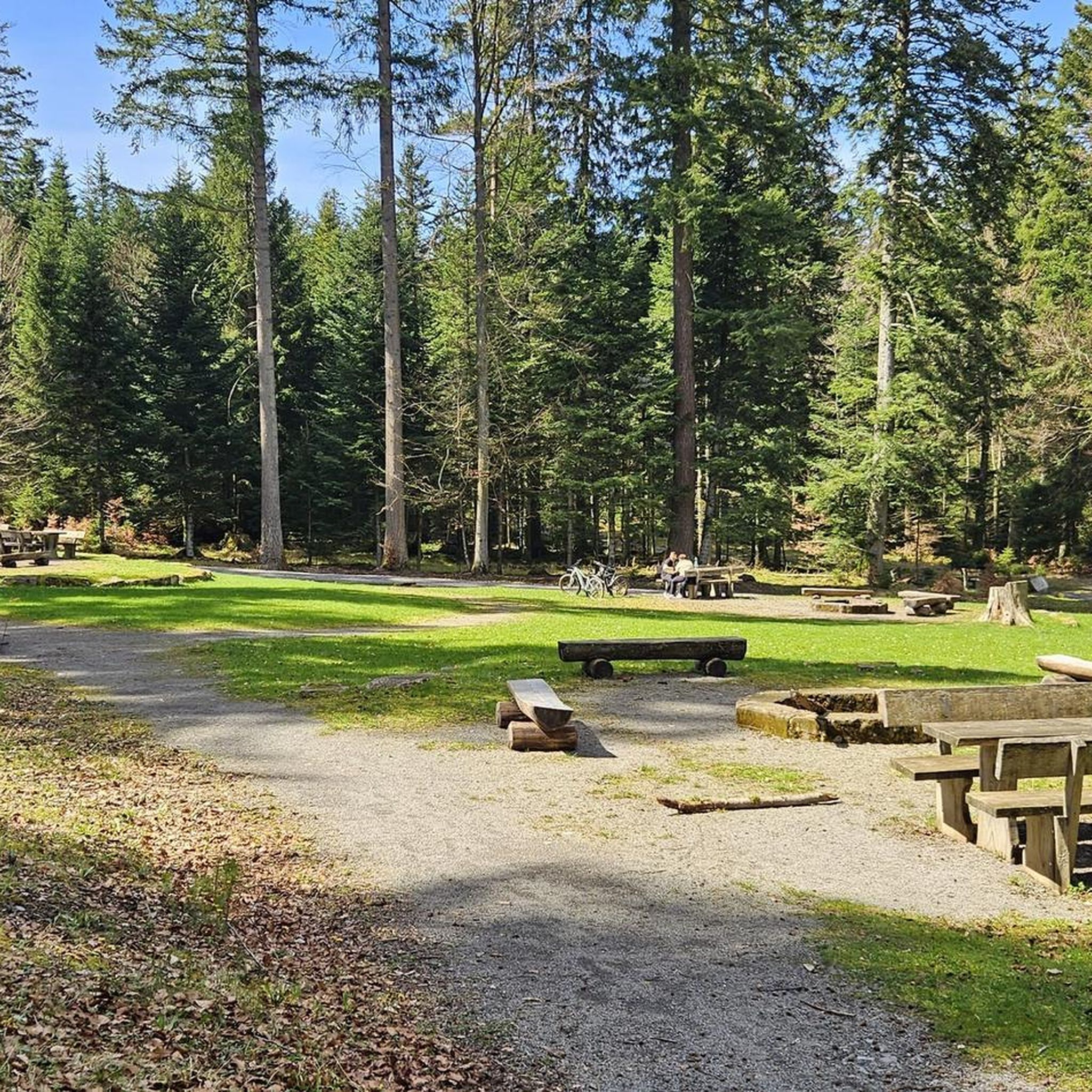
New rest area, nice loop from Himmelgarten.
4
0

Parking lot with permanently closed catering
0
0

Magnificent view over the southern Harz
0
0

Frequently Asked Questions
How many hiking trails are available in Großer Ronneberg-Bielstein?
There are over 890 hiking routes in Großer Ronneberg-Bielstein, catering to various skill levels. This includes more than 430 easy trails, nearly 400 moderate paths, and over 60 more challenging excursions.
What kind of terrain can I expect on hikes in Großer Ronneberg-Bielstein?
The terrain in Großer Ronneberg-Bielstein is characterized by the prominent ridges of Großer Ronnenberg and Großer Bielstein, separated by the picturesque Wolfstal (Wolf Valley). You'll traverse diverse forest ecosystems, including mesophilic woodruff-beech and sycamore-ash ravine forests, as well as varied mountain meadows. The underlying geology features diabase, clay and chert slates, greywacke, and quartzite, contributing to the varied landscape.
Are there any family-friendly hiking options in Großer Ronneberg-Bielstein?
Yes, Großer Ronneberg-Bielstein offers many easy trails suitable for families. For instance, the Little Carp Pond – Inn "Zur Sägemühle" loop from Herrmannsacker is an easy 4.2 km route that takes just over an hour to complete, perfect for a family outing.
Can I bring my dog on the trails in Großer Ronneberg-Bielstein?
Großer Ronneberg-Bielstein is a nature reserve, and while dogs are generally welcome, it's important to keep them on a leash to protect the diverse wildlife and sensitive ecosystems. Always follow local signage and regulations regarding pets.
What natural features or landmarks can I see while hiking?
While hiking, you can explore the prominent ridges of Großer Ronnenberg and Großer Bielstein, and the scenic Wolfstal carved by the Wolfsbach. The area is rich in natural forest stands, diverse mountain meadows, and unique geological formations. You might also encounter historical elements like the Ebersburg Castle Ruins.
Are there any circular hiking routes available?
Yes, many routes in Großer Ronneberg-Bielstein are designed as loops. An example is the Gate of Ebersburg Castle – Ebersburg Castle Ruins (HWN 100) loop from Herrmannsacker, an easy 6 km trail that allows you to start and end at the same point.
What is the best time of year to go hiking in Großer Ronneberg-Bielstein?
The diverse forest ecosystems and meadows make Großer Ronneberg-Bielstein beautiful throughout the year. Spring offers vibrant flora like hollow corydalis, while autumn showcases stunning foliage. Summer provides pleasant conditions for longer hikes, and winter can offer serene, snow-covered landscapes, though some trails might be more challenging.
How can I get to Großer Ronneberg-Bielstein using public transport?
Großer Ronneberg-Bielstein is located in the Südharz municipality. While specific public transport routes directly to trailheads can vary, regional bus services often connect surrounding towns. It's advisable to check local transport schedules for connections to villages like Herrmannsacker, which serve as common starting points for hikes.
Is parking available for hikers?
Yes, parking is generally available near popular trailheads and villages surrounding Großer Ronneberg-Bielstein, such as Herrmannsacker. Look for designated parking areas to ensure you are not obstructing local access or protected areas.
What kind of wildlife might I encounter?
The diverse habitats support a variety of wildlife. Birdwatchers might spot stock doves, siskins, and goldcrests. The reserve is also important for endangered insect species like the scarce fritillary and stag beetle, and provides a sanctuary for wildcats and fire salamanders.
Are there any nearby attractions to visit after a hike?
Absolutely. After exploring the nature reserve, you can visit the nearby 13th-century Stolberg Castle or the charming health resort of Stolberg, often referred to as the 'pearl of Southern Harz.' These offer additional historical and cultural points of interest.
What do other hikers say about the trails in Großer Ronneberg-Bielstein?
The trails in Großer Ronneberg-Bielstein are highly rated by the komoot community, with an average score of 4.6 stars from over 10,200 reviews. Hikers often praise the well-maintained paths, the peaceful forest environments, and the scenic views, particularly those offered on routes like the View of Naturpark Südharz – Ascent to Ebersburg loop from Herrmannsacker.
Are there any easy hikes suitable for beginners?
Yes, Großer Ronneberg-Bielstein offers numerous easy trails perfect for beginners or those seeking a relaxed walk. A good option is the Inn "Zur Sägemühle" loop from Herrmannsacker, a 4.7 km trail through forested areas that typically takes just over an hour to complete.
Most popular routes in Großer Ronneberg-Bielstein

Get inspired with the komoot mobile app


Explore more
Browse the best Hikes in other regions.
