The best road cycling routes in Oranienbaumer Heide
4.7
(353)
3,328
riders
199
rides
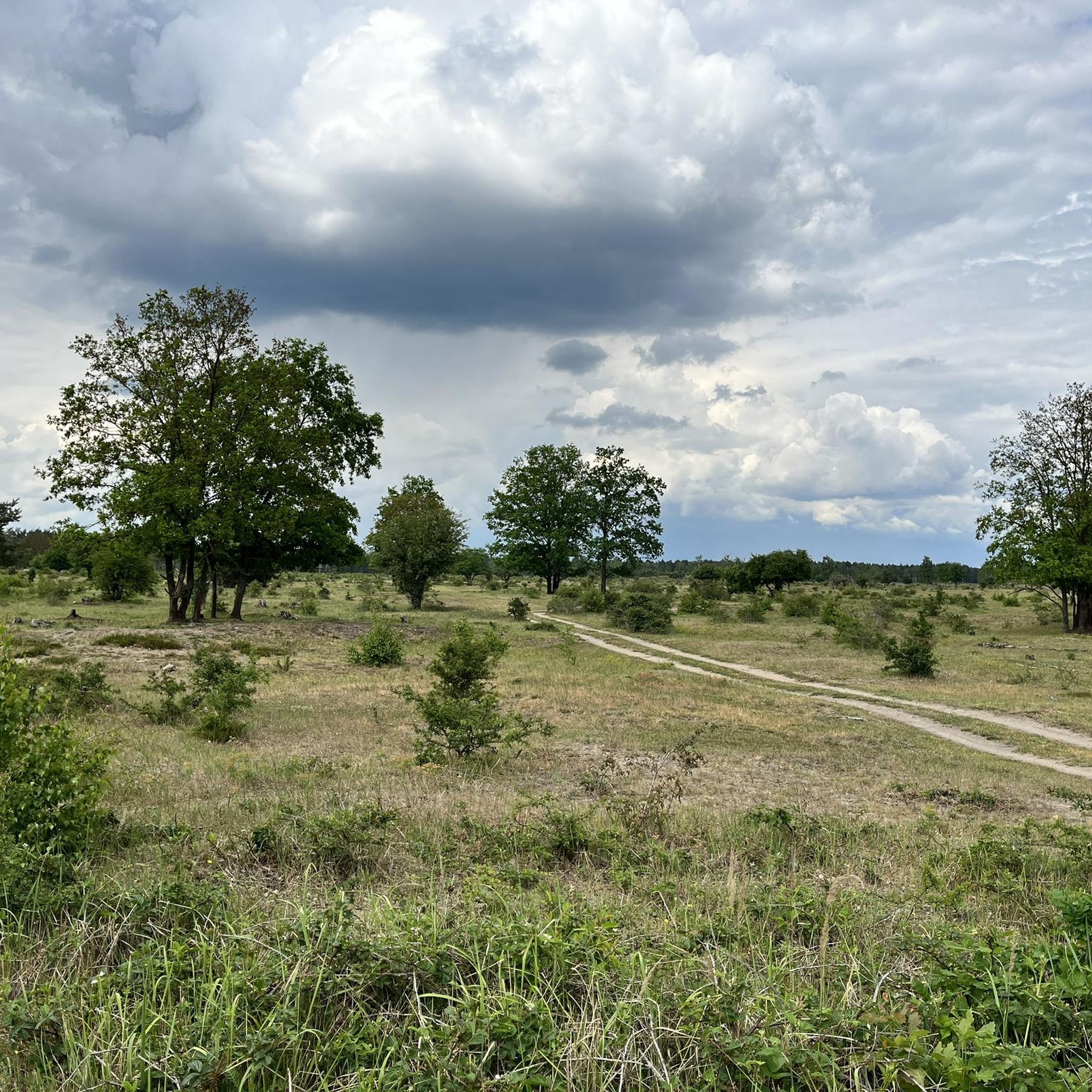
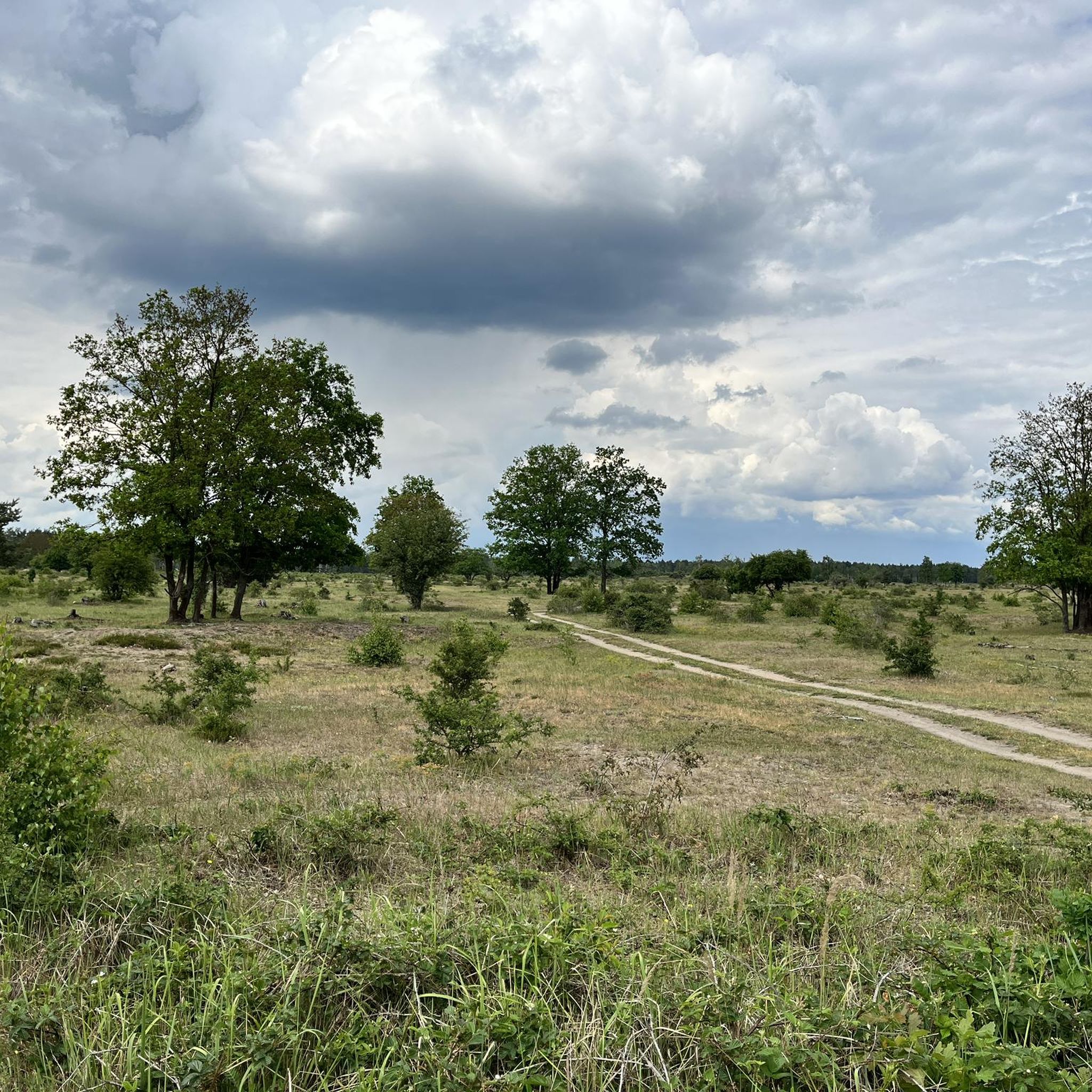
Road cycling in Oranienbaumer Heide is characterized by its diverse topography, which includes semi-natural mixed deciduous forests and expansive open areas with dry grasslands and dunes. The region's landscape is influenced by the Elbe glacial valley to the north and glacial moraines to the south, offering varied terrain for road cyclists. Many routes feature mostly paved surfaces, making them accessible for different fitness levels. The area provides a network of paths suitable for exploring its unique natural features.
Best road…
Last updated: July 11, 2026
4.3
(3)
44
riders
75.8km
03:00
200m
200m
Moderate road ride. Good fitness required. Some segments of this route may be unpaved and difficult to ride.
4.9
(7)
43
riders
Moderate road ride. Good fitness required. Some segments of this route may be unpaved and difficult to ride.

Sign up for free
5.0
(1)
32
riders
Moderate road ride. Great for any fitness level. Some segments of this route may be unpaved and difficult to ride.
5.0
(1)
19
riders
Moderate road ride. Good fitness required. Some segments of this route may be unpaved and difficult to ride.
5.0
(5)
18
riders
Moderate road ride. Great for any fitness level. Some segments of this route may be unpaved and difficult to ride.
Get access to more routes and recommendations from other explorers.
Sign up for free
Already have an account?
Our route recommendations are based on thousands of hikes, rides, and runs completed by other people on komoot.
Start today with a free account
Your next adventure awaits.
Login or Signup
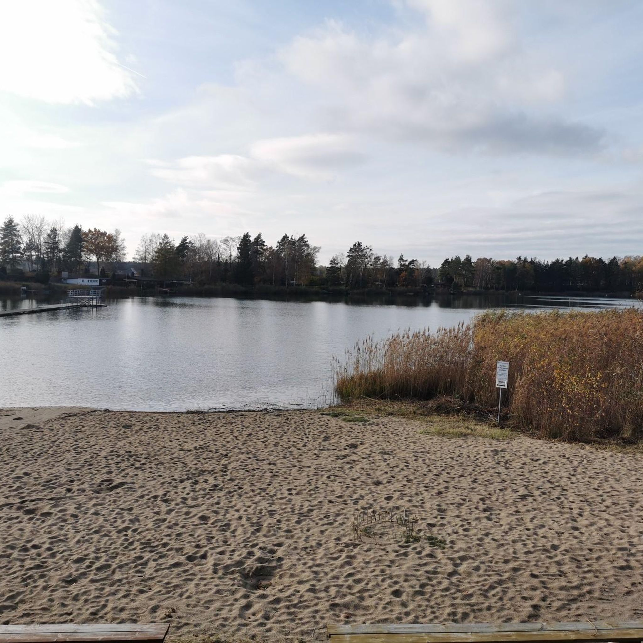
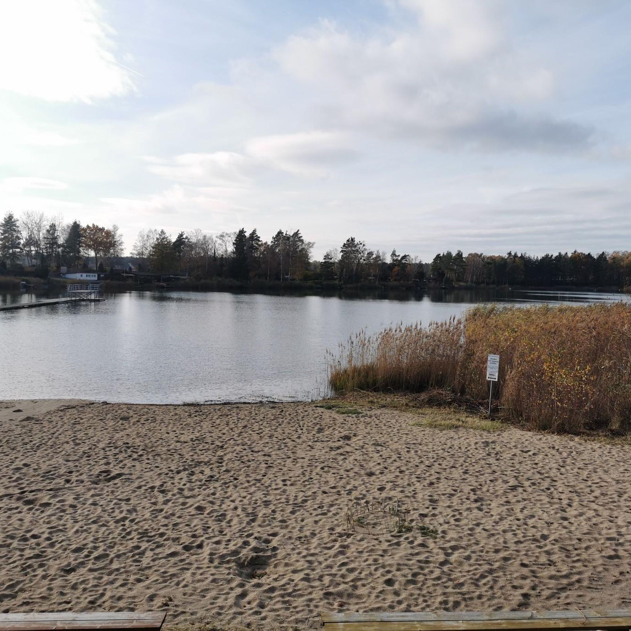

Tips from the Community

Wonderful garden realm, always worth a stop.
0
0

Great view from the bridge of the Mulde weir
1
0

The castle park is absolutely worth seeing, but can only be visited on foot.
1
0
Beautiful section for cycling
2
0

St. Mary's Church in Dessau-Roßlau. Information: A late Gothic, three-aisled hall church made of brick, originally a Catholic church, and since 1534 a Protestant church. Destroyed in the air raids of March 1945, it was rebuilt in the 1990s. Today it serves as an event center.
2
0
Also commonly known as an egg slicer.
5
0
The Mulde River flows entirely within the North German Plain, initially through the Saxon Hills and past Grimma, Nerchau, and Trebsen. Near Wurzen, along whose western edge it runs, the Mulde reaches the Elbe-Mulde Lowland. It then flows through Eilenburg and Bad Düben and shortly thereafter leaves Saxony. The Mulde completes the remaining course of its journey to its confluence with the Elbe in Saxony-Anhalt. Until 1975, the Mulde flowed west of the towns of Pouch and Friedersdorf in the area of what is now Lake Goitzsche. Since then, it has been dammed east of these towns to form the Mulde Reservoir – a former open-cast mine. The Mulde then flows past Muldenstein, Jeßnitz, Raguhn, and Dessau, emptying into the Elbe between Dessau and Roßlau after a course of 147 km.[2] [2] The "Wild Mulde" revitalization project for the lower reaches of the Mulde River in Dessau was recognized as an official project of the UN Decade on Biodiversity in November 2018.[11][12] Source: https://de.wikipedia.org/wiki/Mulde_(Fluss)
4
0
Although the confluence of the two source streams occurs at approximately half the total length of the Mulde River, the Freiberger Mulde and the Zwickauer Mulde already contribute over 80% of its total water volume. This is due, firstly, to the shape of the catchment area, which is very wide in the Ore Mountains and narrows towards the Elbe River, and secondly, to the higher precipitation and correspondingly higher runoff volumes in the mountains. The shape of the catchment areas also means that the longer Zwickauer Mulde is the smaller of the two source streams at the confluence. The Zschopau is the dominant hydrological branch of the Freiberger Mulde river system. In its upper catchment area, the Flöha, a named tributary, contributes the largest volume of water and is thus the actual source stream of the Mulde. The Mulde is approximately 267 kilometers long via this main route and over 314 kilometers via its longest route (the Zwickauer Mulde).[3] [3] The Mulde's catchment area has a total gradient of 600 to 900 meters for many of its major channels, resulting in exceptionally high flow velocities for northern Germany. The Mulde is sometimes even described as the fastest-flowing river in Central Europe.[10] Source: https://de.wikipedia.org/wiki/Mulde_(Fluss)
4
0
Frequently Asked Questions
How many road cycling routes are available in Oranienbaumer Heide?
Oranienbaumer Heide offers a wide selection of road cycling routes, with over 200 tours available on komoot. This includes a variety of options suitable for different preferences and fitness levels.
What is the terrain like for road cycling in Oranienbaumer Heide?
The terrain in Oranienbaumer Heide is diverse, featuring semi-natural mixed deciduous forests and expansive open areas with dry grasslands and dunes. The landscape is influenced by the Elbe glacial valley to the north and glacial moraines to the south, providing varied scenery. Many routes are mostly paved, making them well-suited for road cycling.
What are the difficulty levels of road cycling routes in Oranienbaumer Heide?
Road cycling routes in Oranienbaumer Heide cater to various skill levels. You'll find 37 easy routes for a relaxed ride, 162 moderate routes for a balanced challenge, and 5 difficult routes for experienced cyclists seeking more demanding terrain.
What natural attractions can I see while road cycling in Oranienbaumer Heide?
While cycling, you can explore diverse natural features such as the unique Oranienbaumer Heath with its dry sand heaths and silver grass meadows. You might also encounter the Konik horses and Heck cattle that roam freely, playing a vital role in landscape management. Remember to keep a distance of at least 30 meters from these wild grazers.
Are there any specific viewpoints or landmarks along the road cycling routes?
Yes, several routes offer scenic views and pass by interesting points. For instance, the Neuhauser Lake Loop provides views of the Pouch Peninsula. Another route, Stadtkirche Oranienbaum – Lake in Wörlitzer Park loop, leads through the varied landscapes of Wörlitzer Park.
What kind of wildlife might I encounter while cycling in Oranienbaumer Heide?
Oranienbaumer Heide is one of Saxony-Anhalt's most species-rich areas. Beyond the free-roaming Konik horses and Heck cattle, you might observe numerous bird species, various amphibians, reptiles like the smooth snake, and mammals such as beavers, otters, and several bat species. A wolf pack has also been observed in the area since the mid-2010s.
Are there any circular road cycling routes in Oranienbaumer Heide?
Yes, many road cycling routes in Oranienbaumer Heide are designed as loops. Examples include the Kakau–Horstdorf Road loop and the View of the Mulde Weir – Johannbau loop, offering convenient circular tours to explore the region.
What do other road cyclists enjoy the most about road cycling in Oranienbaumer Heide?
The area is highly rated by the komoot community, with an average score of 4.75 stars from over 300 reviews. Road cyclists often praise the diverse topography, which includes both shaded mixed deciduous forests and expansive open grasslands, as well as the mostly paved surfaces that make the routes accessible and enjoyable.
Are there any specific rules or regulations for road cycling in Oranienbaumer Heide?
To protect the sensitive ecosystems of Oranienbaumer Heide, visitors are advised to stay on main dirt roads. This helps preserve the natural habitats and ensures a sustainable experience for everyone.
Can I connect to long-distance cycling routes from Oranienbaumer Heide?
Yes, Oranienbaumer Heide benefits from its proximity to major long-distance cycling routes. The European Cycle Route R1 and the Elbe Cycle Route, two prominent German cycling paths, pass through the nearby Dessau-Wörlitz Garden Realm, providing excellent connections for extended tours.
What is the best season for road cycling in Oranienbaumer Heide?
While road cycling is enjoyable throughout much of the year, spring and autumn offer particularly pleasant conditions with mild temperatures and beautiful scenery. Spring brings blooming wildflowers, while autumn showcases vibrant foliage in the mixed deciduous forests.
Are there family-friendly road cycling options in Oranienbaumer Heide?
Yes, Oranienbaumer Heide offers routes suitable for families. With a range of difficulty levels, including 37 easy routes, you can find paths that are less challenging and provide a pleasant experience for cyclists of all ages. The mostly paved surfaces also contribute to a smoother ride for families.
Most popular routes in Oranienbaumer Heide
Most popular attractions in Oranienbaumer Heide

Get inspired with the komoot mobile app


Explore more
Browse the best Road cycling routes in other regions.
