The best walks and hikes in Pfaffenheide-Wörpener Bach
4.5
(1221)
4,785
hikers
279
hikes
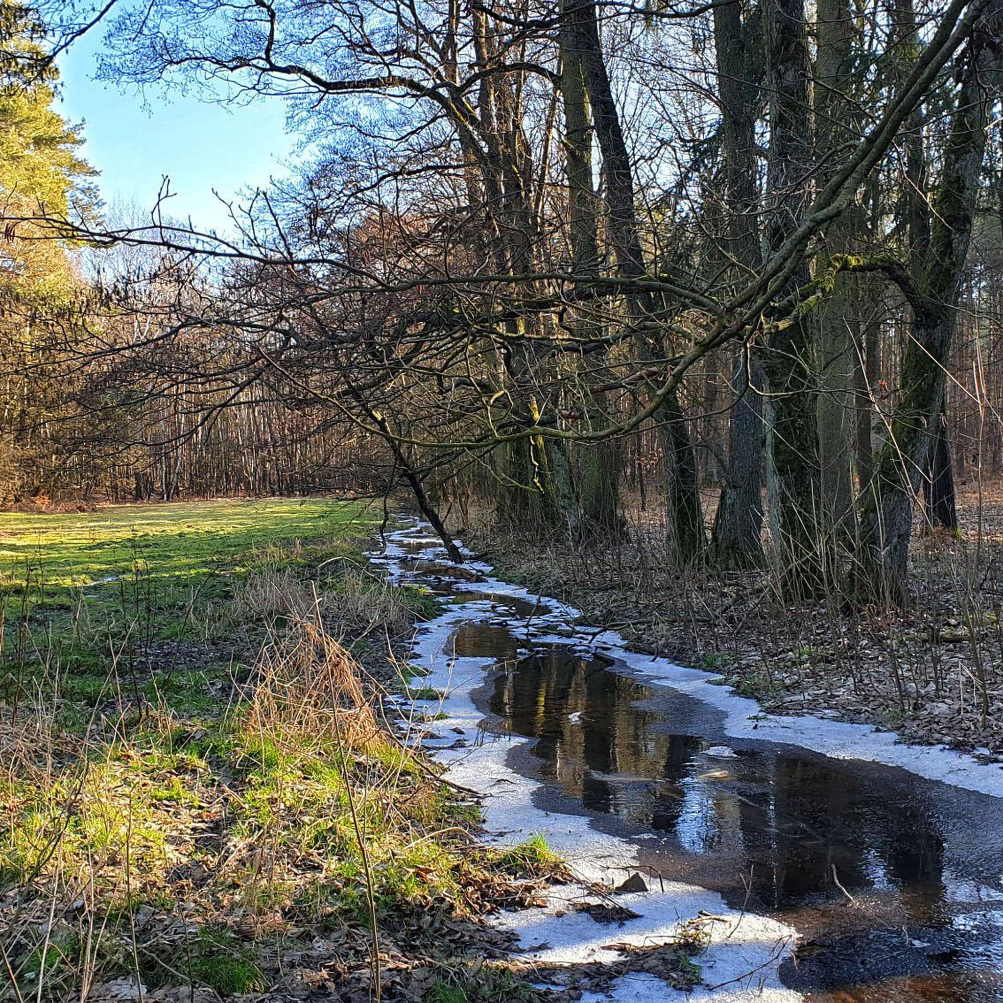
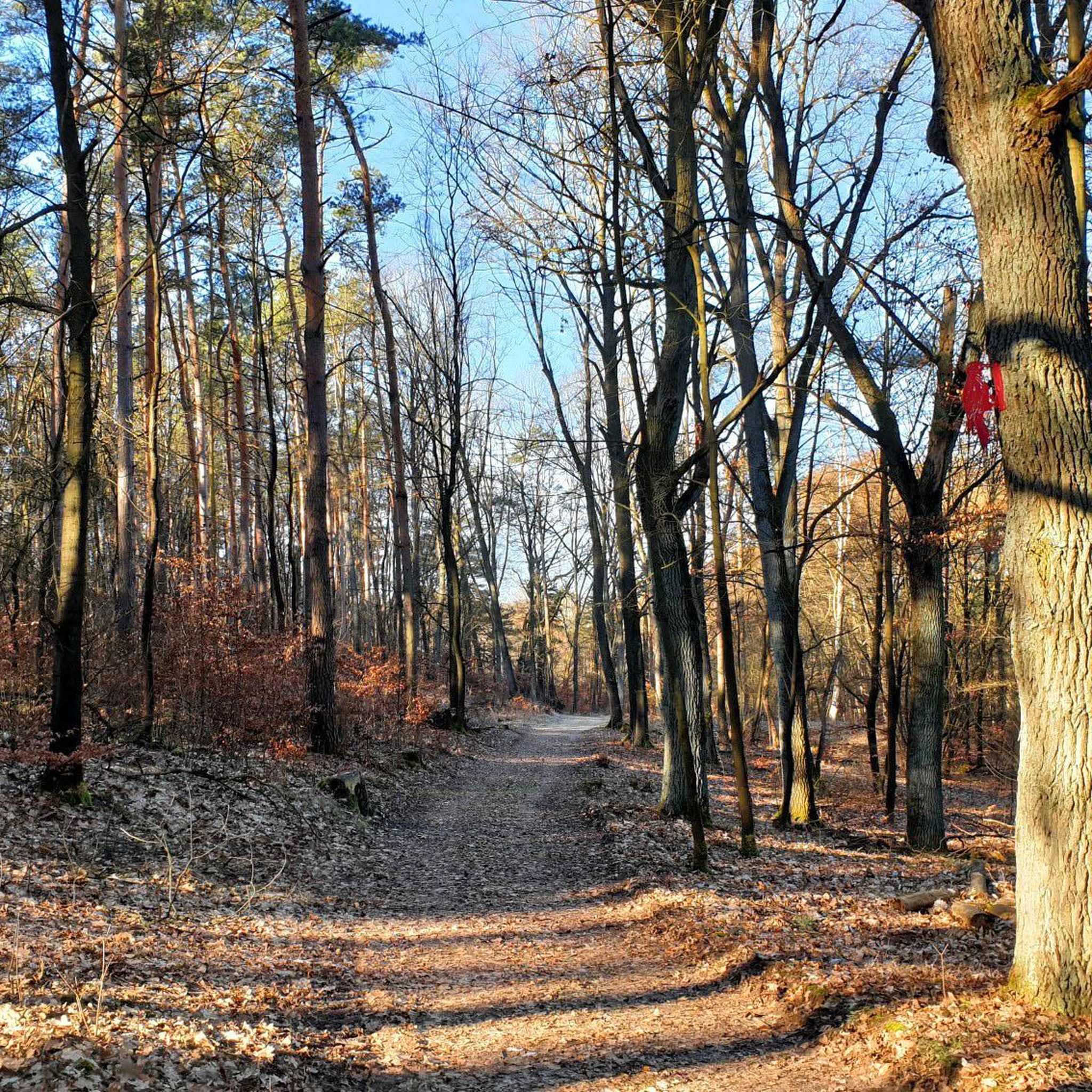
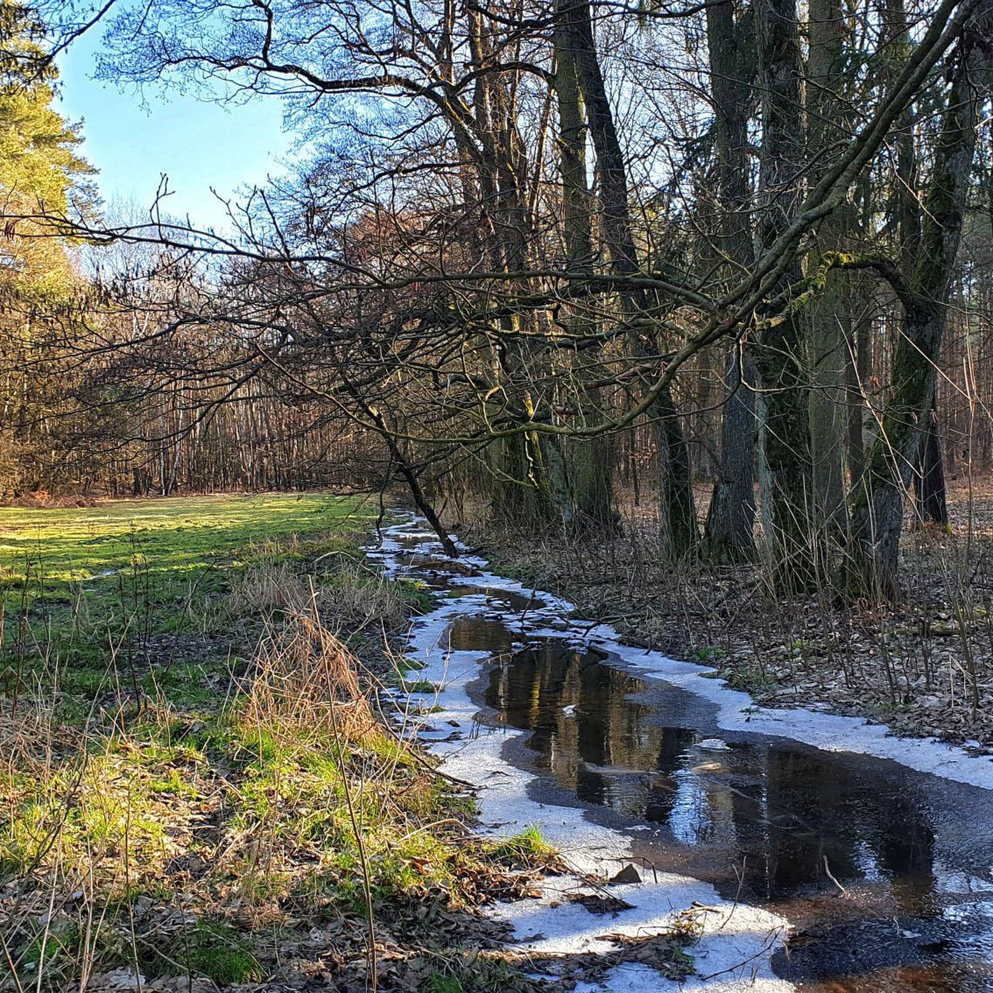
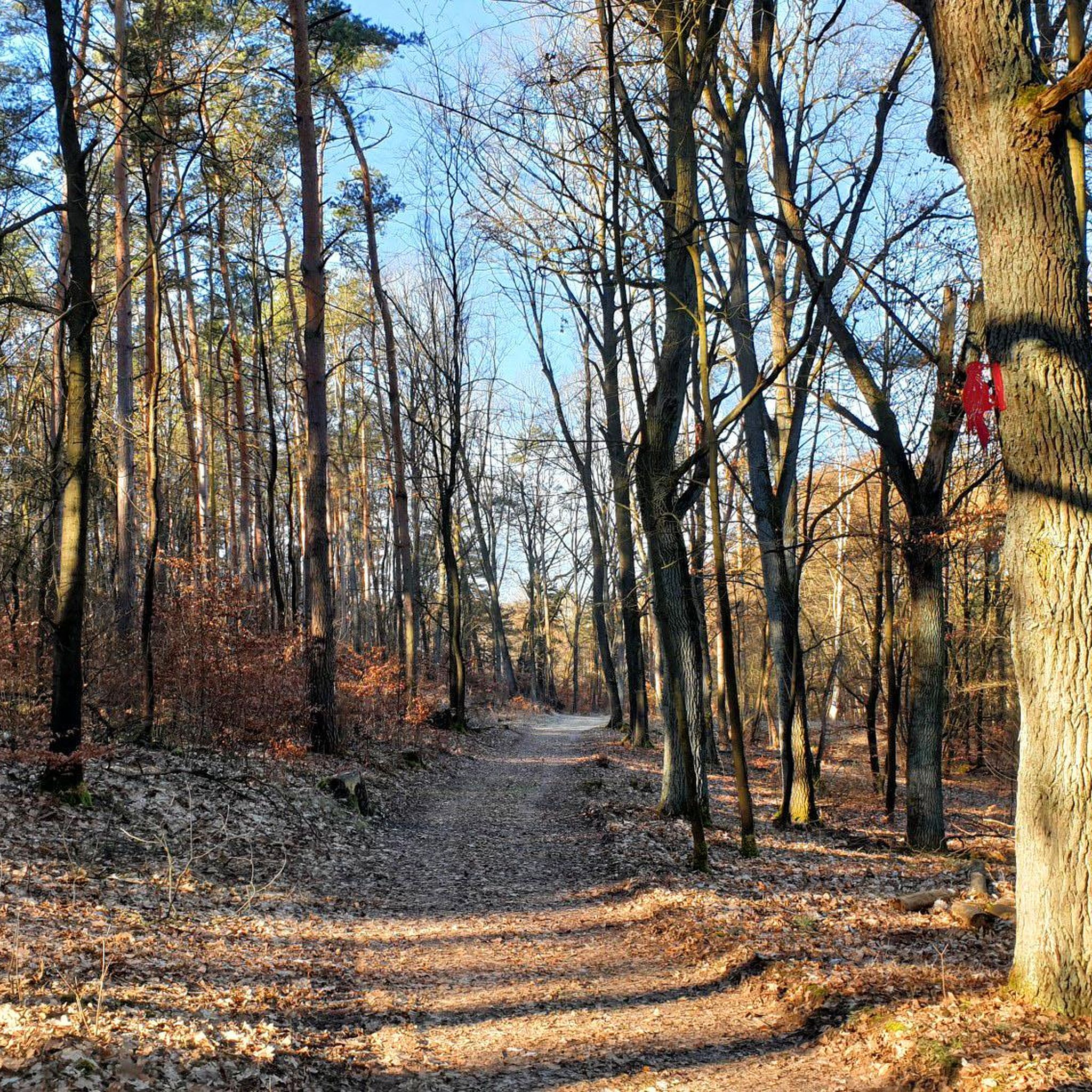
Hiking in Pfaffenheide-Wörpener Bach offers diverse terrain shaped by the Saale Ice Age, featuring a distinct moraine landscape. This nature reserve, a Flora-Fauna-Habitat area, is characterized by a mosaic of forest types, including oak-hornbeam, alder carr along the Wörpener Bach, and sections of pine and larch. The Wörpener Bach valley forms a central feature, providing riparian environments within the varied topography.
Best hiking trails in Pfaffenheide-Wörpener Bach
- The most popular hiking route is Waldsiedlung Waldschlösschen – Silbersee loop from Pfaffenheide-Wörpener…
Last updated: July 11, 2026
4.4
(13)
37
hikers
Easy hike. Great for any fitness level. Easily-accessible paths. Suitable for all skill levels.
4.4
(7)
21
hikers
Moderate hike. Good fitness required. Easily-accessible paths. Suitable for all skill levels.

Sign up for free
3.0
(3)
7
hikers
8.50km
02:11
30m
30m
Moderate hike. Good fitness required. Easily-accessible paths. Suitable for all skill levels.
5.0
(1)
5
hikers
Moderate hike. Good fitness required. Easily-accessible paths. Suitable for all skill levels.
5.0
(1)
6
hikers
11.3km
02:56
70m
70m
Moderate hike. Good fitness required. Easily-accessible paths. Suitable for all skill levels.
Get access to more routes and recommendations from other explorers.
Sign up for free
Already have an account?
Our route recommendations are based on thousands of hikes, rides, and runs completed by other people on komoot.
Start today with a free account
Your next adventure awaits.
Login or Signup
Tips from the Community

Unfortunately, the restaurant was closed. Opening hours: Sundays and public holidays from 11:00 AM
0
0


Partly long climbs Nice views of the Elbe Lots of paths through the forest Bismarck Tower
0
0

Here are still the old toilet blocks and washing facilities
1
0

The Bismarck Tower on the Hubertusberg, with its 15m height, is probably the smallest that I have discovered so far on my hikes through Germany. But still you have a good overview of the landscape from the platform. Opening times: April to October Saturday / Sunday and public holidays: 10 a.m. to 6 p.m.
1
0

Great destination on Hubertusberg, with a small petting zoo and a museum on the Bismarckturm. The restaurant is open on weekends and public holidays, furnished in the nostalgic GDR style and invites with a beautiful terrace to linger.
0
0

The foundation stone for the construction of the Bismarck Tower was laid in 1901 and the opening in 1902. The tower, made of sandstone blocks, has a square floor plan and is 15 m high. A stone staircase leads over six steps to the wooden entrance door on the east side of the tower. Inside there is a metal spiral staircase built in 1988, via 50 steps the 11 m high viewing platform can be reached. A fire bowl is attached to a stone ceiling supported by four Corinthian columns above the platform. Due to construction defects, the tower has been closed since September 22, 2015. The historic Bismarck Tower is scheduled to reopen at the end of August 2018. From above you have a beautiful view of the gentle forest hills of the Fläming Nature Park.
1
0
Frequently Asked Questions
What kind of terrain can I expect on the hiking trails in Pfaffenheide-Wörpener Bach?
The region is characterized by a varied moraine landscape, a result of the Saale Ice Age. You'll hike through diverse forest types, including oak-hornbeam, alder carr along the Wörpener Bach, and sections of pine and larch. The Wörpener Bach valley itself features a predominantly sandy stream bed, contributing to the varied topography.
Are there hiking trails for all skill levels in Pfaffenheide-Wörpener Bach?
Yes, Pfaffenheide-Wörpener Bach offers a wide range of trails suitable for various skill levels. Out of approximately 285 available routes, you'll find around 166 easy trails, 111 moderate paths, and 8 more challenging options.
What natural features can I discover while hiking in Pfaffenheide-Wörpener Bach?
Hikers can explore a rich mosaic of natural features, including the unique moraine landscape, the tranquil Wörpener Bach valley, and diverse forest ecosystems. The area is known for its rich biodiversity, with specific plants like two-leaved mayflower, bird's-nest orchid, and the long-leaved helleborine, which has its most populous occurrence in Central Germany here.
Is there any unique wildlife to look out for in Pfaffenheide-Wörpener Bach?
The Wörpener Bach stream is home to species such as brook lamprey, brown trout, and stone loach. The diverse habitats, including forests and moist grasslands, support a wide array of flora and fauna, making it a great spot for nature observation.
Are the hiking trails in Pfaffenheide-Wörpener Bach suitable for families with children?
Many of the trails are suitable for families, especially the easier routes. For example, the Waldsiedlung Waldschlösschen – Silbersee loop from Pfaffenheide-Wörpener Bach is an easy 2.3-mile (3.7 km) trail that takes about an hour to complete, offering a pleasant walk around Silbersee.
Can I bring my dog on the trails in Pfaffenheide-Wörpener Bach?
Generally, dogs are welcome on hiking trails in nature reserves, but it's always recommended to keep them on a leash to protect local wildlife and plants, especially in a Flora-Fauna-Habitat area like Pfaffenheide-Wörpener Bach. Please respect any local signage regarding pets.
Are there many circular hiking routes available in Pfaffenheide-Wörpener Bach?
Yes, many of the routes in Pfaffenheide-Wörpener Bach are circular, offering convenient starting and ending points. Examples include the Silbersee – Waldsiedlung Waldschlösschen loop from Coswig (Anhalt), a moderate 7.1-mile (11.5 km) path, and the Pfaffenheide-Wörpener Bach loop from Coswig (Anhalt), an easy 3.9-mile (6.2 km) option.
What do other hikers enjoy the most about hiking in Pfaffenheide-Wörpener Bach?
The area is highly rated by the komoot community, with an average score of 4.5 stars from over 1,100 reviews. Hikers often praise the diverse forest ecosystems, the tranquil atmosphere of the Wörpener Bach valley, and the well-maintained trails that offer varied scenery.
Are there any historical or cultural landmarks near the hiking trails?
While Pfaffenheide-Wörpener Bach is primarily a natural reserve, the nearby town of Coswig (Anhalt) offers points of interest. For example, you can find a route that includes Coswig Castle (Anhalt), providing a blend of nature and local history.
What is the best time of year to visit Pfaffenheide-Wörpener Bach for hiking?
The diverse forest types and rich biodiversity suggest that Pfaffenheide-Wörpener Bach is beautiful throughout the seasons. Spring offers blooming wildflowers like the two-leaved mayflower and bird's-nest orchid, while autumn showcases vibrant fall foliage. Summer provides lush greenery, and even winter can offer serene, quiet walks, depending on conditions.
How can I get to Pfaffenheide-Wörpener Bach by public transport?
Pfaffenheide-Wörpener Bach is located near Coswig (Anhalt). While specific public transport stops directly at trailheads within the reserve might be limited, you can typically reach Coswig (Anhalt) by regional train or bus services. From there, local connections or a short walk might be necessary to access the hiking areas. It's advisable to check local transport schedules for the most current information.
Is there parking available near the trailheads?
As a nature reserve popular for hiking, there are usually designated parking areas at common access points or near the edges of the reserve, especially close to towns like Coswig (Anhalt). These facilities are typically provided to accommodate visitors. Look for signs indicating hiker parking upon arrival.
Most popular routes in Pfaffenheide-Wörpener Bach

Get inspired with the komoot mobile app


Explore more
Browse the best Hikes in other regions.
