The best road cycling routes in Gränert
4.4
(576)
4,706
riders
171
rides
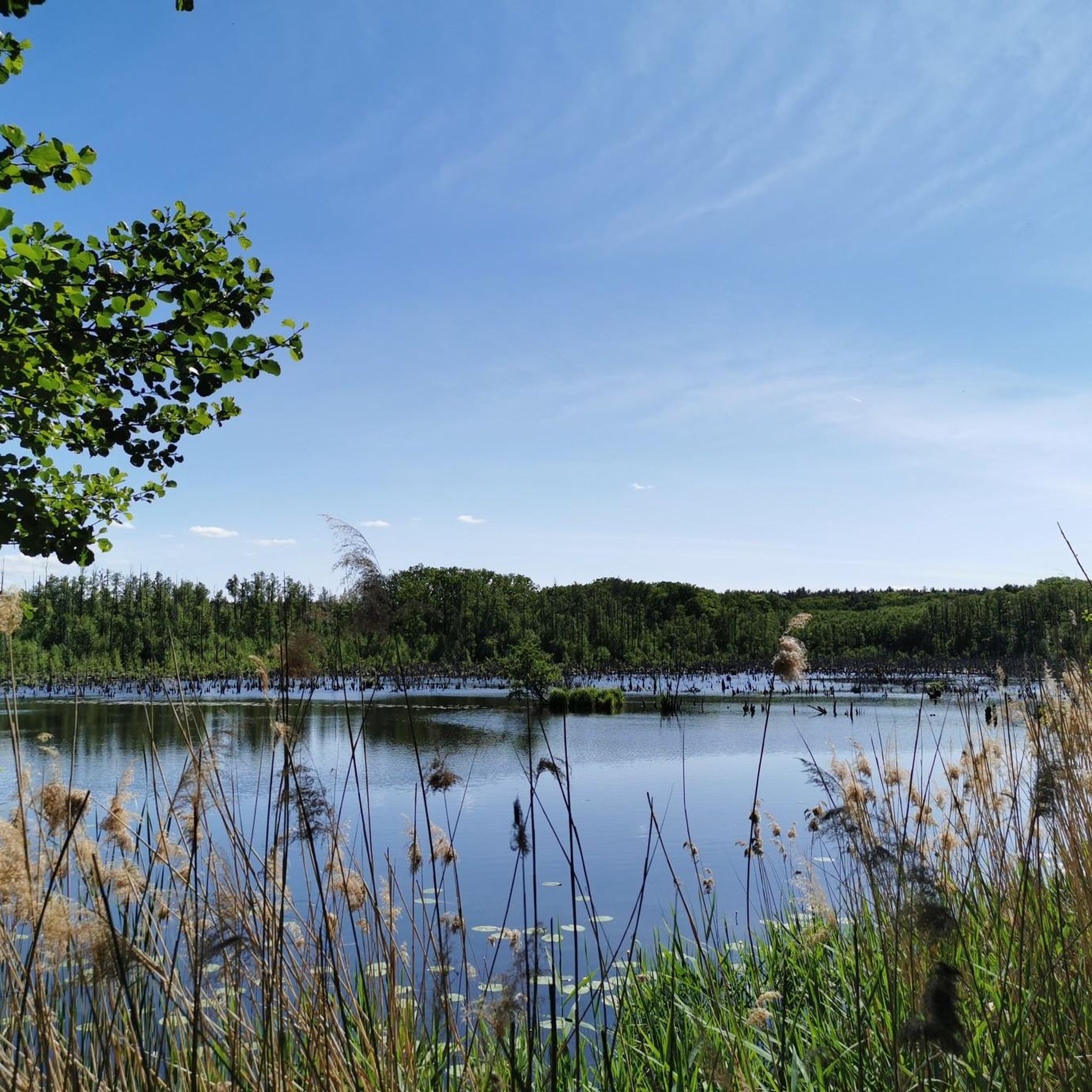
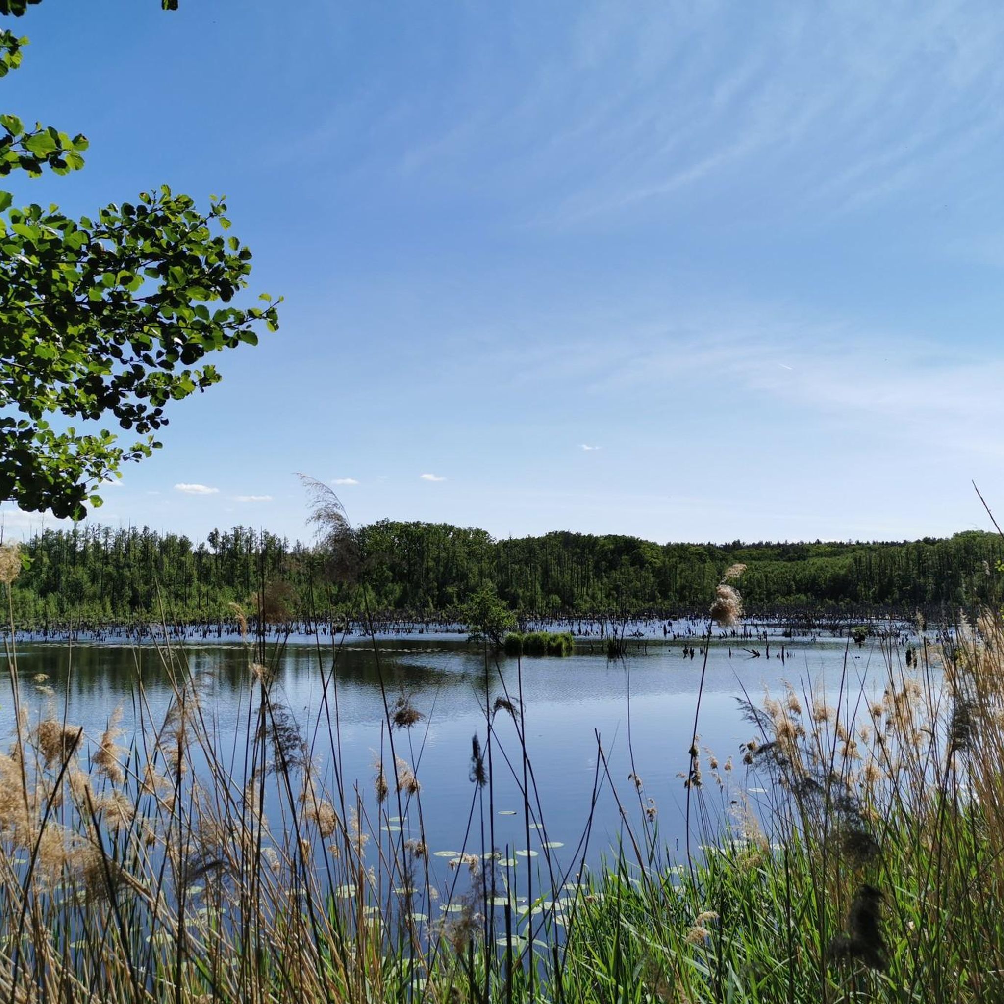
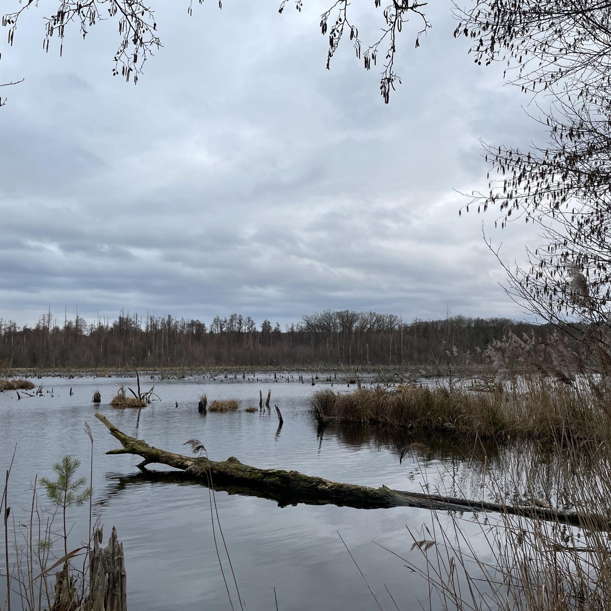
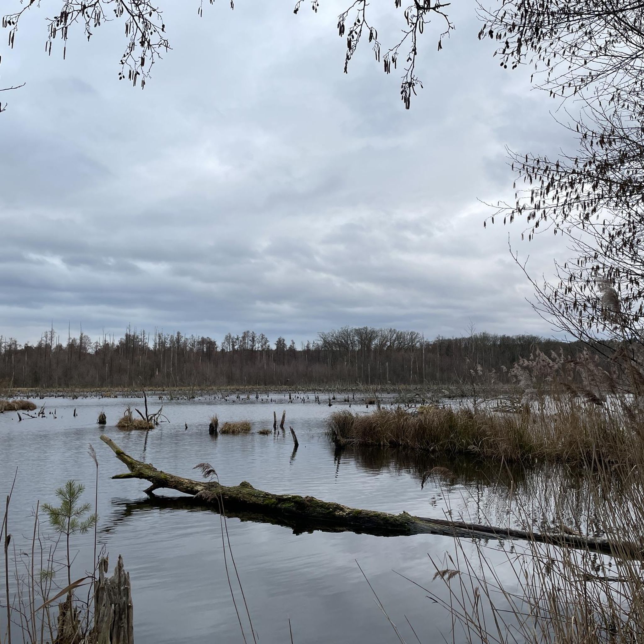
Road cycling routes in Gränert traverse diverse landscapes, including light pine forests and areas with old beeches, providing shaded paths. The region features several picturesque lakes and canals, such as the Fauler See and Breitlingsee, with routes offering views of the Elbe-Havel Canal and the Buckau river. Terrain varies from relatively flat sections to areas with some elevation changes, with many routes featuring mostly paved surfaces.
Best road cycling routes in Gränert
- The most popular road cycling route is Uferstraße Kirchmöser – Old Plauer Bridge loop from Mahlenzien, a 26.6 miles (42.8 km) trail that takes 1 hour 55 minutes to complete. This moderate route offers scenic views along the water.
- Another top favourite among local road cyclists is Cycle Path by the Railway – Old Plauer Bridge loop from Kirchmöser, a moderate 27.1 miles (43.5 km) path. This route combines cycling alongside a railway with views of the Old Plauer Bridge.
- Local road cyclists also love the Uferstraße Kirchmöser – Old Plauer Bridge loop from Kirchmöser, a 46.8 miles (75.2 km) trail leading through varied terrain, often completed in about 3 hours 2 minutes.
- Road cycling in Gränert is defined by diverse forests, picturesque lakes, and canals, with routes often featuring mostly paved surfaces. The network offers options for different ability levels, from shorter rides to longer, more challenging routes.
- The routes in Gränert are highly rated by the komoot community with an average score of 4.4 stars from over 500 reviews. More than 4000 road cyclists have used komoot to explore Gränert's varied terrain.
Last updated: June 27, 2026
4.4
(38)
342
riders
41.8km
01:50
110m
110m
Moderate road ride. Great for any fitness level. Some segments of this route may be unpaved and difficult to ride.
4.3
(3)
14
riders
42.5km
01:50
70m
70m
Moderate road ride. Great for any fitness level. Some segments of this route may be unpaved and difficult to ride.

Sign up for free
8
riders
72.0km
02:53
120m
120m
Moderate road ride. Good fitness required. Some segments of this route may be unpaved and difficult to ride.
3.8
(6)
11
riders
Moderate road ride. Great for any fitness level. Some segments of this route may be unpaved and difficult to ride.
8
riders
70.6km
02:44
110m
110m
Moderate road ride. Good fitness required. Some segments of this route may be unpaved and difficult to ride.
Get access to more routes and recommendations from other explorers.
Sign up for free
Already have an account?
Our route recommendations are based on thousands of hikes, rides, and runs completed by other people on komoot.
Start today with a free account
Your next adventure awaits.
Login or Signup
Tips from the Community

No other path nearby
0
0

Shortly before entering Briest, there is a great drinks and snack vending machine; it's a bit hidden in a side street, but signposted on the main road
0
0

Good surface and, compared to the main road, a very quiet route to Genthin
2
0
The surface isn't the best, but there's hardly any traffic.
1
0
little-used section, rolls well
2
0
easy-to-ride roadside cycle path
2
0
I completely agree: with the RR, the road is the only option. There is relatively little traffic.
3
0
The crossing takes less than two minutes and costs €1.50 (2025) with a bicycle. The ferryman is very friendly.
2
0
Frequently Asked Questions
How many road cycling routes are available in Gränert?
Gränert offers over 170 road cycling routes, providing a wide range of options for exploring the region's diverse landscapes. These routes are highly rated by the komoot community, with an average score of 4.4 stars.
Are there road cycling routes suitable for beginners in Gränert?
Yes, Gränert has over 30 easy road cycling routes that are perfect for beginners or those looking for a relaxed ride. These routes often feature mostly paved surfaces and offer gentle terrain, allowing you to enjoy the scenery without significant challenges.
What kind of terrain can I expect on road cycling routes in Gränert?
Road cycling in Gränert offers a mix of landscapes. You'll find routes through diverse forests, including light pine forests and areas with old beeches, providing shaded paths. Many routes also run alongside picturesque lakes like the Fauler See and Breitlingsee, and offer views of the Elbe-Havel Canal. The terrain varies from relatively flat sections to areas with some elevation changes, with many routes featuring mostly paved surfaces.
Where can I find scenic viewpoints or natural attractions along the routes?
Gränert's routes are rich in natural beauty. You can cycle along the Möserscher See and Breitlingsee, or discover the unique beaver-shaped shorelines of the Fauler Lake. Many routes also offer views of the Elbe-Havel Canal and the Buckau river. The region's forests and waterways provide numerous scenic spots.
Are there options for longer, more challenging road cycling routes?
Yes, for those seeking a greater challenge, Gränert offers over 130 moderate to difficult road cycling routes. An example is the Uferstraße Kirchmöser – Old Plauer Bridge loop from Kirchmöser, which spans 46.8 miles (75.2 km) and takes about 3 hours to complete, leading through varied terrain.
Can I find circular road cycling routes in Gränert?
Many of the road cycling routes in Gränert are designed as loops, allowing you to start and end at the same point. For instance, the popular Uferstraße Kirchmöser – Old Plauer Bridge loop from Mahlenzien is a 26.6-mile (42.8 km) circular trail offering scenic views along the water.
Are there places to stop for food or drinks along the road cycling routes?
Yes, you can find places to refresh during your ride. The Malge Restaurant Beer Garden on Lake Breitling is a popular spot. Additionally, the Neue Mühle, a former water mill, is known for its beer garden, making it a pleasant stop.
What do other cyclists appreciate most about road cycling in Gränert?
The komoot community highly rates road cycling in Gränert, with an average score of 4.4 stars from over 500 reviews. Cyclists often praise the diverse forests, picturesque lakes, and canals, as well as the mostly paved surfaces that make for enjoyable rides. The variety of routes catering to different ability levels is also a highlight.
How can I get to the road cycling routes using public transport?
While specific public transport connections directly to every trailhead can vary, the region is generally accessible. For detailed information on bus or train services to specific starting points near towns like Kirchmöser or Mahlenzien, it's best to check local transport schedules.
Where can I park my car when starting a road cycling tour in Gränert?
Parking options are available at various starting points for road cycling routes in Gränert. Many routes begin near towns or popular recreational areas where parking facilities are provided. For example, routes around Kirchmöser or Mahlenzien often have designated parking areas.
Are there any specific routes that offer views of the Elbe-Havel Canal or Breitlingsee?
Yes, many routes in Gränert are designed to showcase the region's waterways. You can find routes that provide scenic views of the Elbe-Havel Canal, and others that run directly along the Breitlingsee. The View of Möserscher See – Uferstraße Kirchmöser loop from Kirchmöser offers beautiful lake views.
What are some unique natural features I might encounter while cycling in Gränert?
Gränert is known for its typical Mark Brandenburg landscapes. You might encounter the unique beaver-shaped shorelines and dead tree stumps of the Fauler See, a result of beaver activity. The region also features diverse forest types and the scenic Buckau river.
Most popular routes in Gränert
Most popular attractions in Gränert

Get inspired with the komoot mobile app


Explore more
Browse the best Road cycling routes in other regions.
