The best running trails in Müggelspreeniederung Köpenick
4.5
(1312)
17,969
runners
795
runs
Jogging in Müggelspreeniederung Köpenick offers access to Berlin's largest nature reserve, characterized by a diverse landscape of moist meadows, fen and swamp forests, and an intricate system of lakes and canals. The region is part of the Natura 2000 protected area "Müggelspree – Müggelsee," featuring prominent water bodies like the Müggelsee, Dämeritzsee, and the Krumme Laake. The terrain is predominantly flat, providing accessible routes for various running activities.
Best jogging routes in Müggelspreeniederung Köpenick
- The most popular jogging route is…
Last updated: July 4, 2026
4.2
(5)
61
runners
Moderate run. Good fitness required. Mostly paved surfaces. Suitable for all skill levels.
4.0
(1)
60
runners
Moderate run. Good fitness required. Mostly paved surfaces. Suitable for all skill levels.

Sign up for free
5.0
(2)
57
runners
Moderate run. Good fitness required. Mostly paved surfaces. Suitable for all skill levels.
4.7
(7)
29
runners
6.39km
00:43
20m
20m
Moderate run. Good fitness required. Mostly paved surfaces. Suitable for all skill levels.
5.0
(1)
15
runners
9.49km
01:03
20m
20m
Moderate run. Good fitness required. Mostly paved surfaces. Suitable for all skill levels.
Get access to more routes and recommendations from other explorers.
Sign up for free
Already have an account?
Our route recommendations are based on thousands of hikes, rides, and runs completed by other people on komoot.
Start today with a free account
Your next adventure awaits.
Login or Signup

Tips from the Community

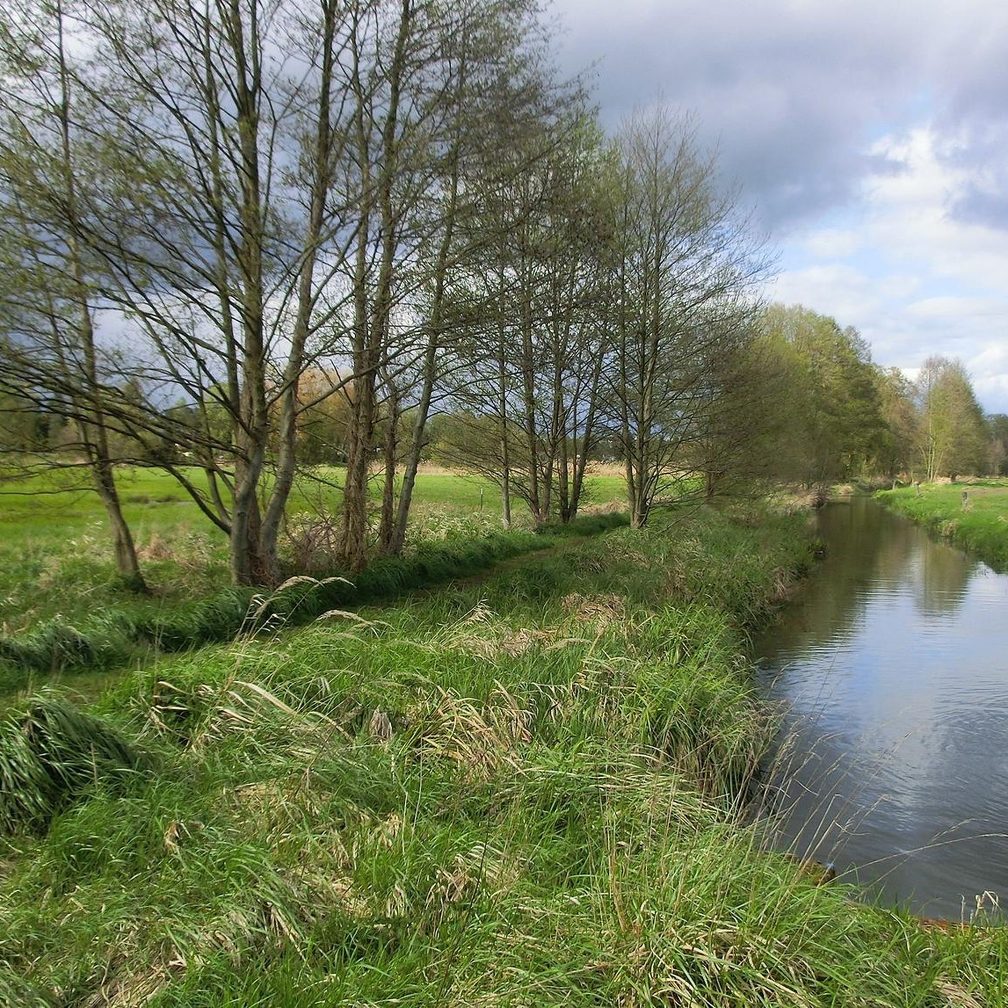
Mornings nice and quiet to start the day: swimming and breakfast.
0
0

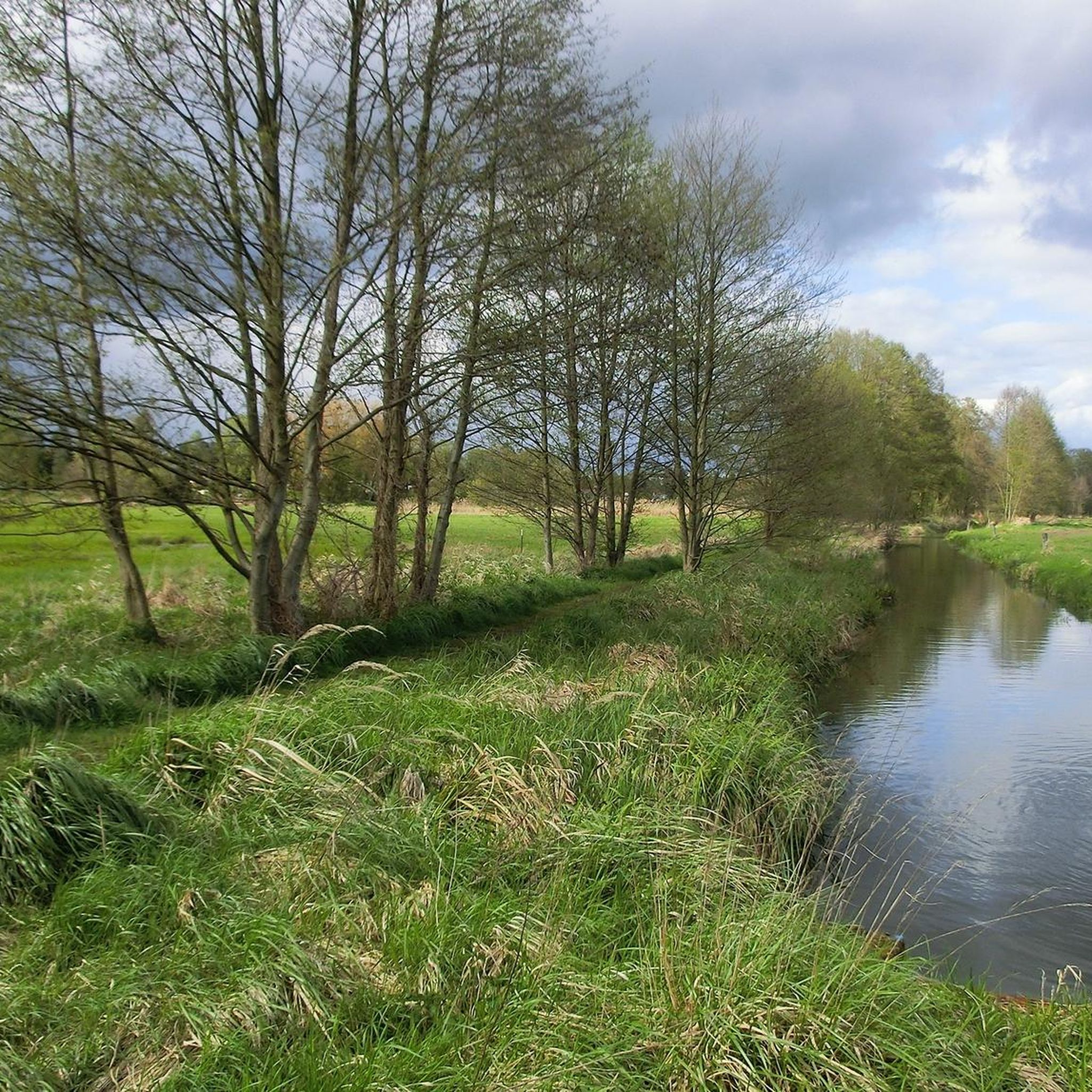
Preceded by a moderately difficult and root filled path. Not advisable for road bikes.
0
0

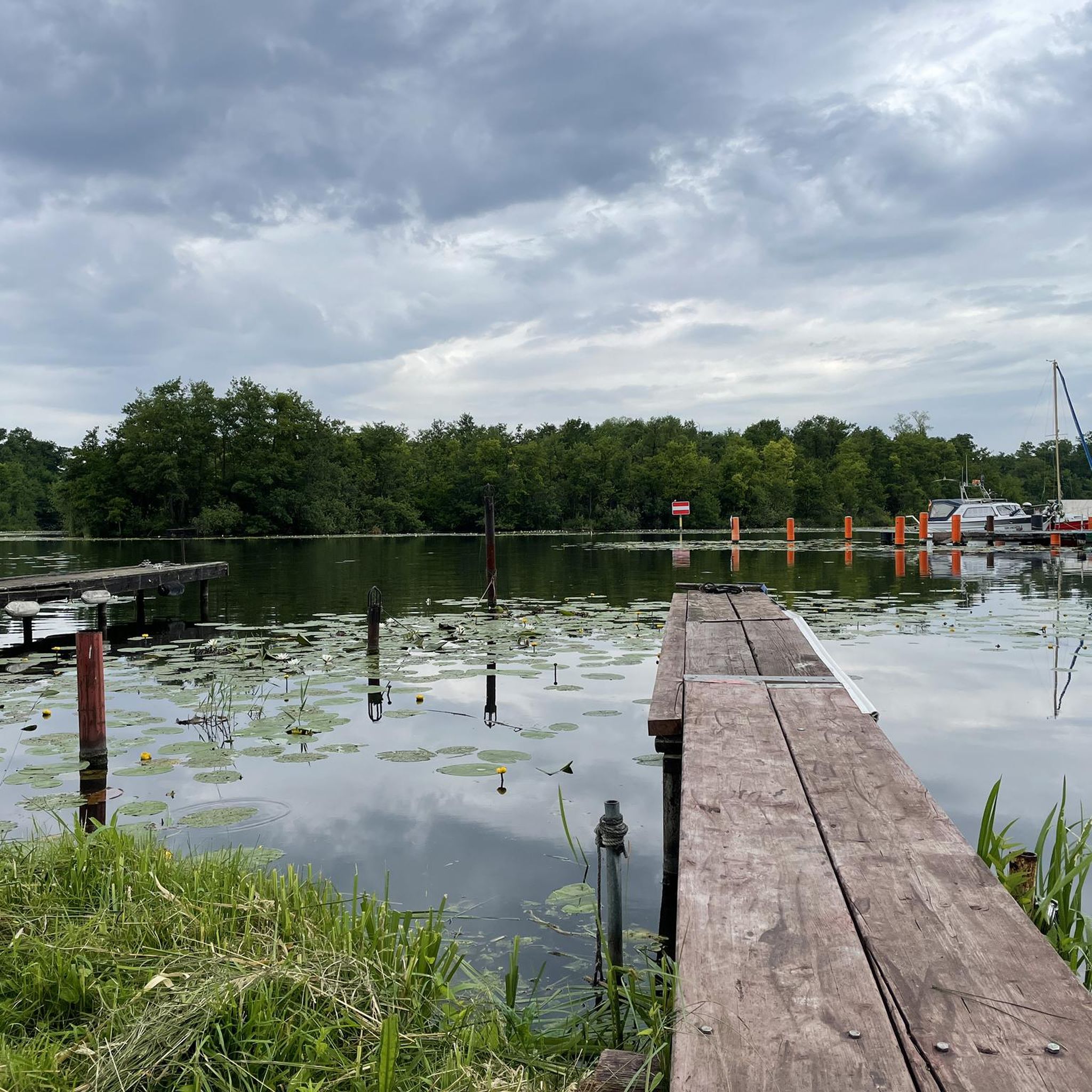
Bathing area at Lake Seddin.
0
0
Small bathing area, beautiful impressions in the evening sun.
0
0

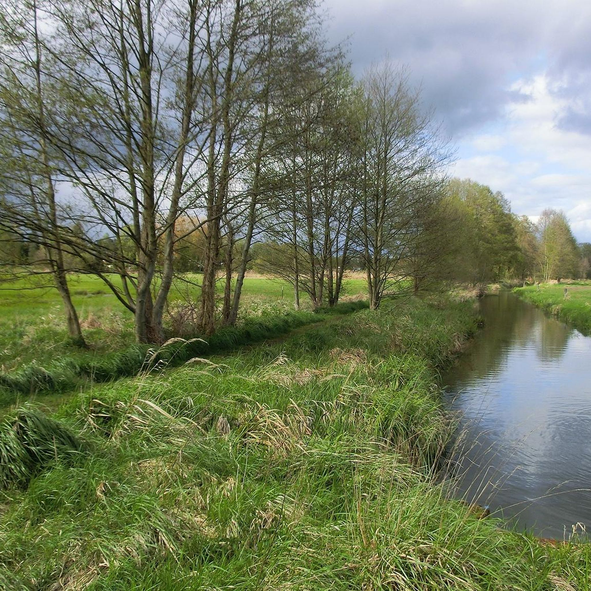
Small place by the lake to relax, with a bench to sit on and a beautiful view.
0
0

Nice cafe, friendly staff, delicious cake.
0
0
Frequently Asked Questions
How many running routes are available in Müggelspreeniederung Köpenick?
Müggelspreeniederung Köpenick offers a vast network of over 800 running routes, providing a wide selection for runners of all levels. This extensive network ensures you can always find a new path to explore, from tranquil forest trails to scenic lakeside runs.
What kind of terrain and difficulty can I expect on the running trails?
The terrain in Müggelspreeniederung Köpenick is predominantly flat, making many routes accessible. However, for those seeking more challenge, the Müggelberge hills offer elevations up to 115 meters. You'll find a mix of surfaces, including park paths, natural trails, asphalt, and gravel sections. Out of the over 800 routes, 75 are considered easy, 623 are moderate, and 106 are difficult, catering to diverse preferences and training needs.
Are there any specific routes recommended for beginners or those looking for an easy run?
Yes, there are 75 easy routes available. While specific beginner routes aren't highlighted in the top recommendations, many of the flat sections along the waterways and through the forests offer gentle gradients suitable for an easy run. Look for routes with minimal elevation gain for a relaxed experience.
What can I see along the jogging routes in Müggelspreeniederung Köpenick?
The routes wind through a rich natural landscape, offering views of significant water bodies like the Müggelsee, Dämeritzsee, and the picturesque Krumme Laake. You might also encounter natural monuments such as the Gosener Wiesen Nature Reserve and the Kaniswall, known for beaver activity. Scenic bridges like the Bridge Over the Old Spree Arm are also points of interest.
Are there any circular running routes in the area?
Yes, many of the running routes in Müggelspreeniederung Köpenick are circular, allowing you to start and finish at the same point. A popular example is the Triglaw Bridge – Bridge Over the Old Spree Arm loop from Rahnsdorf, which covers 10.5 km along the Old Spree Arm.
Is Müggelspreeniederung Köpenick suitable for running with dogs?
Müggelspreeniederung Köpenick, with its extensive natural trails and forests, is generally dog-friendly. However, as it is a nature reserve, it's important to keep dogs on a leash in designated areas and be mindful of wildlife. Always check local regulations for specific trail sections.
What is the best time of year to go jogging in Müggelspreeniederung Köpenick?
The area is beautiful year-round. Spring and autumn offer pleasant temperatures and vibrant scenery, while summer allows for refreshing dips in the lakes after your run. Even in winter, the trails can be enjoyed, though some paths might be muddy or icy, so appropriate footwear is recommended.
How can I get to the running trails using public transport?
Müggelspreeniederung Köpenick is well-connected to Berlin's public transport network. Various S-Bahn and tram lines serve the Köpenick area, providing access to different starting points for the trails. For specific route access, it's best to check local transport maps and plan your journey to a trailhead near your chosen running route.
Are there parking facilities available near the trailheads?
Yes, there are various parking options available around Müggelspreeniederung Köpenick, especially near popular access points and attractions like the Müggelsee. While not all trailheads have dedicated parking lots, you can often find street parking or smaller designated areas. It's advisable to check specific locations before your visit.
What do other runners enjoy most about jogging in Müggelspreeniederung Köpenick?
The running routes in Müggelspreeniederung Köpenick are highly regarded by the komoot community, boasting an average rating of 4.6 stars from over 1200 reviews. Runners frequently praise the diverse natural landscapes, the tranquility of the waterways, and the extensive network of well-maintained trails that cater to all fitness levels. The opportunity to combine a run with scenic views of Berlin's largest lake, Müggelsee, is also a highlight for many.
Are there any cafes or restaurants near the running routes?
Yes, particularly around the larger lakes like Müggelsee and in the Köpenick district, you'll find various cafes, restaurants, and beer gardens where you can refuel and relax after your run. These establishments often offer scenic views of the water or are nestled within charming local areas.
Do I need a permit to jog in Müggelspreeniederung Köpenick?
No, you do not need a special permit to jog in Müggelspreeniederung Köpenick. As a public nature reserve, the trails are freely accessible for recreational activities like jogging. However, please respect the natural environment, stay on marked paths, and adhere to any local signage regarding protected areas.
Most popular routes in Müggelspreeniederung Köpenick
Most popular attractions in Müggelspreeniederung Köpenick

Get inspired with the komoot mobile app


Explore more
Browse the best Running Trails & Routes in other regions.
