The best running trails in Borcheltsbusch
4.5
(20)
152
runners
24
runs
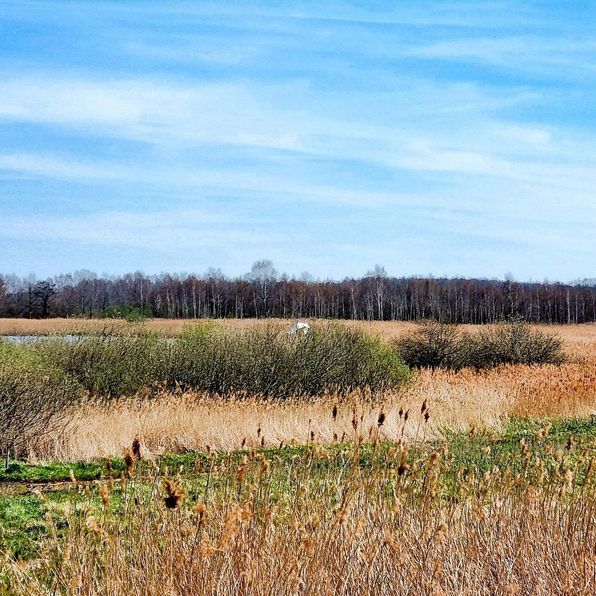
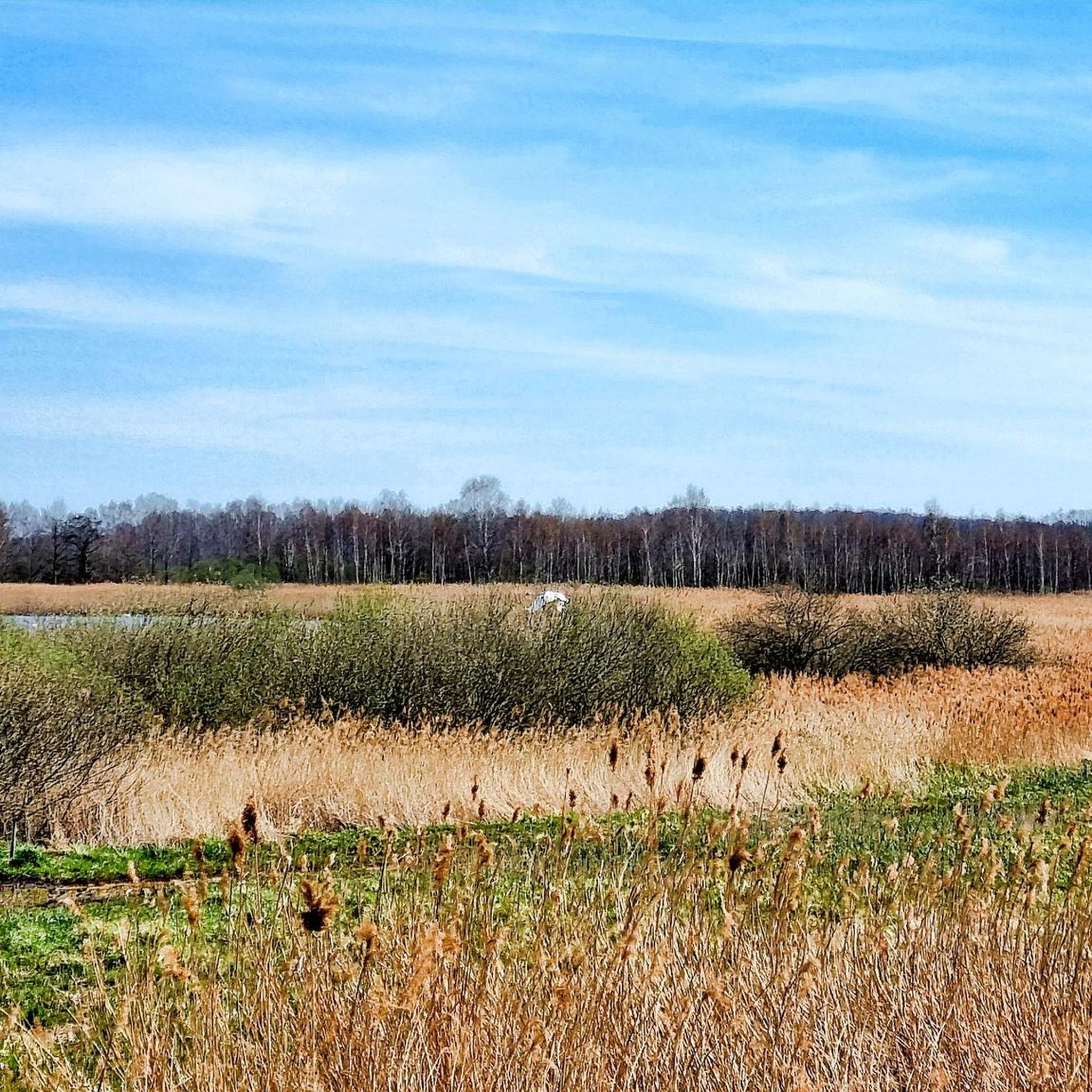
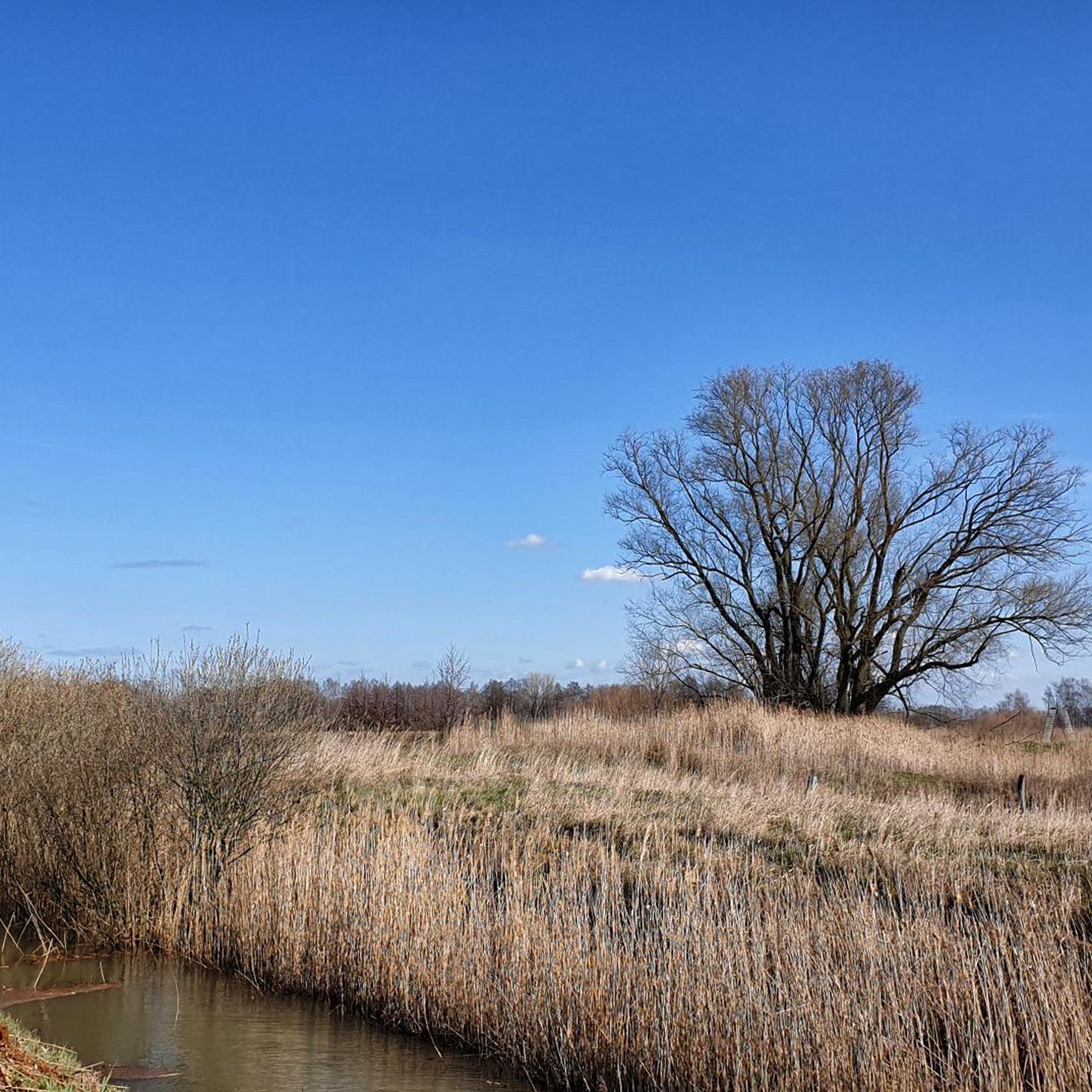
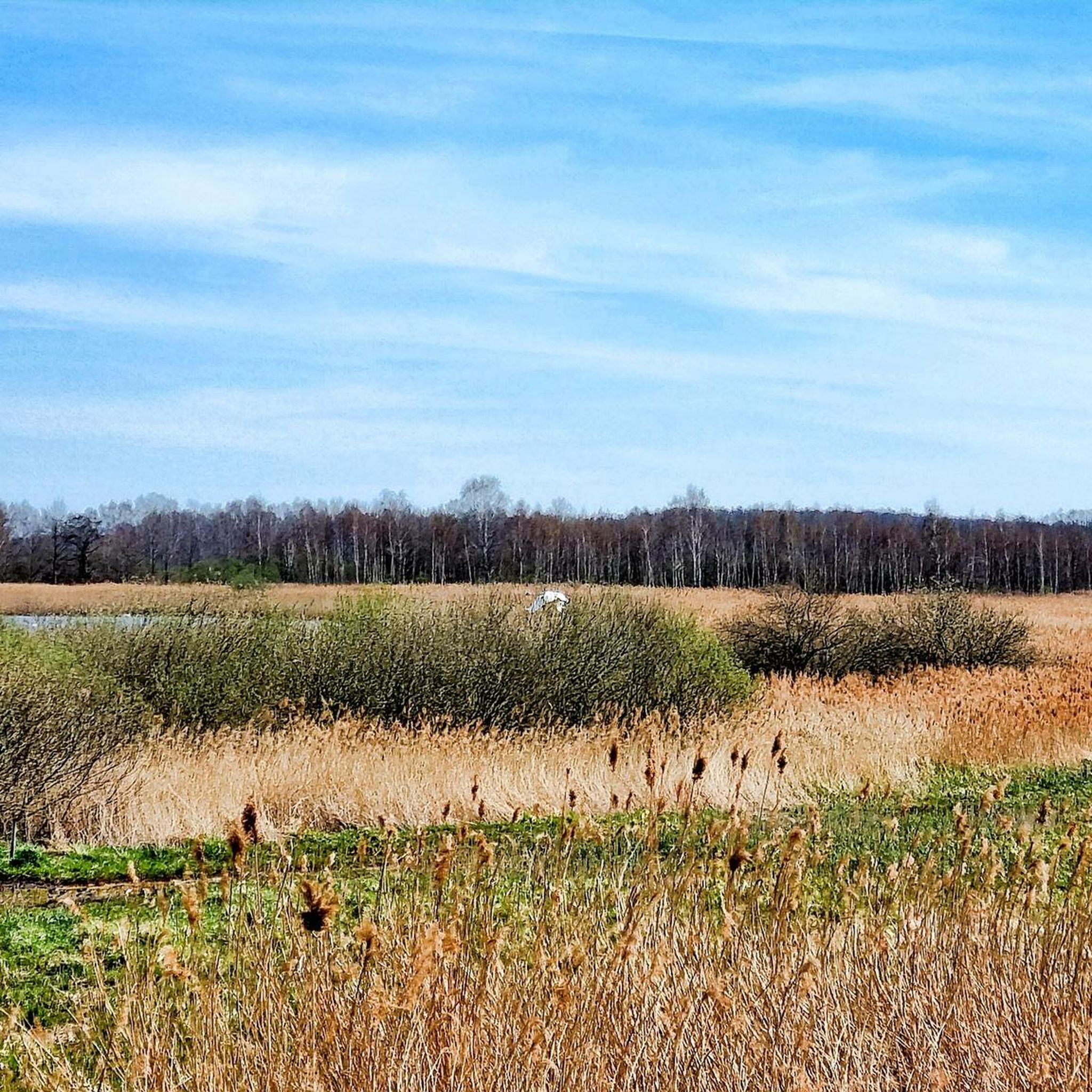
Jogging routes in Borcheltsbusch provide access to a 300-hectare moor within the Luckau Basin, recognized as a European bird sanctuary. The landscape features a mix of accessible paths through meadows, forests, and fields, offering varied terrain for runners. Many routes include mostly paved surfaces, suitable for different fitness levels. The area also includes the 20-meter Borcheltsbusch Observation Tower, providing panoramic views over the nature reserve.
Best jogging routes in Borcheltsbusch
- The most popular jogging route is Roter Turm (Luckau) loop…
Last updated: June 27, 2026
5.0
(1)
3
runners
11.5km
01:12
10m
10m
Moderate run. Good fitness required. Mostly paved surfaces. Suitable for all skill levels.
4.0
(3)
11
runners
10.3km
01:04
10m
10m
Moderate run. Good fitness required. Mostly paved surfaces. Suitable for all skill levels.

Sign up for free
11
runners
3.18km
00:20
10m
10m
Easy run. Great for any fitness level. Mostly paved surfaces. Suitable for all skill levels.
2
runners
18.1km
01:53
30m
30m
Hard run. Very good fitness required. Mostly paved surfaces. Suitable for all skill levels.
5.0
(1)
6
runners
6.86km
00:43
10m
10m
Moderate run. Good fitness required. Mostly paved surfaces. Suitable for all skill levels.
Get access to more routes and recommendations from other explorers.
Sign up for free
Already have an account?
Our route recommendations are based on thousands of hikes, rides, and runs completed by other people on komoot.
Start today with a free account
Your next adventure awaits.
Login or Signup
Popular around Borcheltsbusch
Tips from the Community

Beautifully restored post mile post
4
0

beautiful reconstruction of the old Steele
0
0
Beautiful baroque gables at the Luckau market
2
0

Very beautifully restored Electorate of Saxony distance column.
0
0
The tower, which is now 30 metres high, was part of the Calauer Gate, which faces the town of Calau. The tower was built at the end of the 13th and beginning of the 14th centuries and was raised several times over the years. Its current French dome was built in 1871. On June 4, 1813, allied Prussian and Russian troops defeated French occupying troops on the grounds in front of the tower, preventing their advance on Berlin. A commemorative plaque on the tower commemorates this event.
1
0
Frequently Asked Questions
How many running routes are available in Borcheltsbusch?
Borcheltsbusch offers a wide selection of running routes, with over 20 trails to explore. These routes cater to various fitness levels, from easy loops to more challenging runs.
Are there running routes suitable for beginners in Borcheltsbusch?
Yes, Borcheltsbusch has several easy running routes perfect for beginners. For instance, the Roter Turm (Luckau) loop from Luckau is an easy 2.0-mile (3.2 km) trail that can be completed in about 20 minutes, offering a gentle introduction to the area's landscape.
What natural features or landmarks can I see while running in Borcheltsbusch?
While running in Borcheltsbusch, you can experience a diverse landscape, including a 300-hectare moor within a European bird sanctuary. A key landmark is the Borcheltsbusch Observation Tower, which stands 20 meters high and provides panoramic views over the nature reserve, fields, and even the Niederlausitzer Landrücken mountain range. It's also an excellent spot for birdwatching, especially during the crane migration season.
Are there any circular running routes in Borcheltsbusch?
Many of the running routes in Borcheltsbusch are designed as circular loops, allowing you to start and finish at the same point. An example is the Luckau Market Square – Roter Turm (Luckau) loop from Luckau, a moderate 4.1-mile (6.6 km) path that explores the area around Luckau.
What is the best time of year to go running in Borcheltsbusch?
Borcheltsbusch offers a great running experience year-round. However, for birdwatching enthusiasts, late July to early November is particularly special, as it's the crane migration season. During this time, you can observe up to 2,000 cranes at the Borcheltsee and surrounding reed beds, especially from the observation tower during their evening arrival and morning departure.
Are the running trails in Borcheltsbusch suitable for families?
Yes, the paths in Borcheltsbusch are generally easily accessible and suitable for all fitness levels, making them great for family runs. Many routes feature mostly paved surfaces and traverse picturesque meadows, forests, and fields, providing a pleasant and safe environment for families to enjoy together.
Can I bring my dog on the running trails in Borcheltsbusch?
While the guide doesn't specify dog-friendly rules, nature reserves often have regulations regarding dogs to protect wildlife. It's always best to check local signage or official park information before bringing your dog, especially given Borcheltsbusch's status as a European bird sanctuary.
What do other runners enjoy most about jogging in Borcheltsbusch?
The running routes in Borcheltsbusch are highly rated by the komoot community, with an average score of 4.4 stars from over 10 reviews. Runners often praise the accessible paths through moorland, meadows, and forests, as well as the diverse terrain and the rewarding views from the Borcheltsbusch Observation Tower.
Are there longer running routes for more experienced runners?
Absolutely. For those looking for a longer run, the Running loop from Luckau covers 6.6 miles (10.6 km) and is a moderate route. Another option is the Luckau Market Square – Roter Turm (Luckau) loop from Luckau Zentrum, which is 6.1 miles (9.7 km) and leads through varied terrain.
What kind of terrain can I expect on the running routes?
The terrain in Borcheltsbusch is varied yet generally accessible. You'll find a mix of environments, including paths through moorland, picturesque meadows, and forests. Many routes feature mostly paved surfaces, making them comfortable for running, while others offer a more natural trail experience.
Is there parking available near the running routes in Borcheltsbusch?
While specific parking locations are not detailed in the route descriptions, areas designated for outdoor activities like Borcheltsbusch typically have parking facilities. It is advisable to check maps or local information for parking options near your chosen starting point, especially around popular access points like Luckau.
Most popular routes in Borcheltsbusch

Get inspired with the komoot mobile app


Explore more
Browse the best Running Trails & Routes in other regions.
