The best walks and hikes in Zschornoer Wald
4.7
(2280)
8,456
hikers
512
hikes
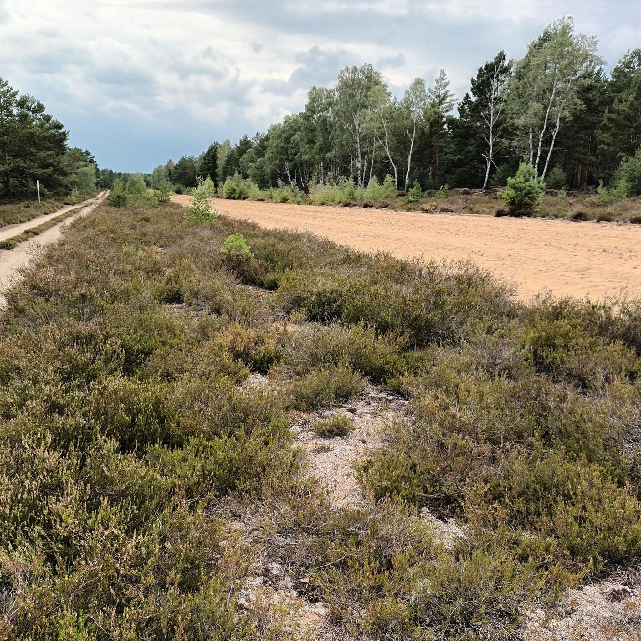
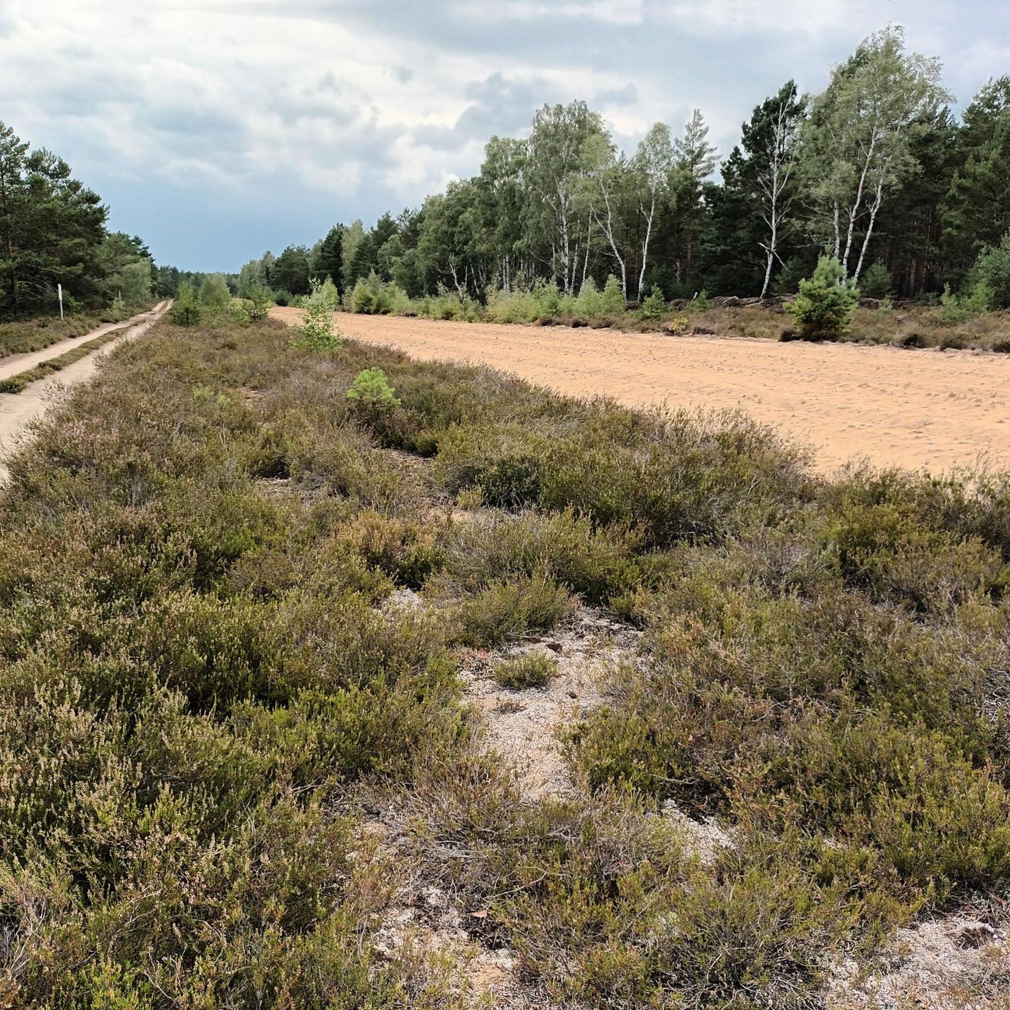
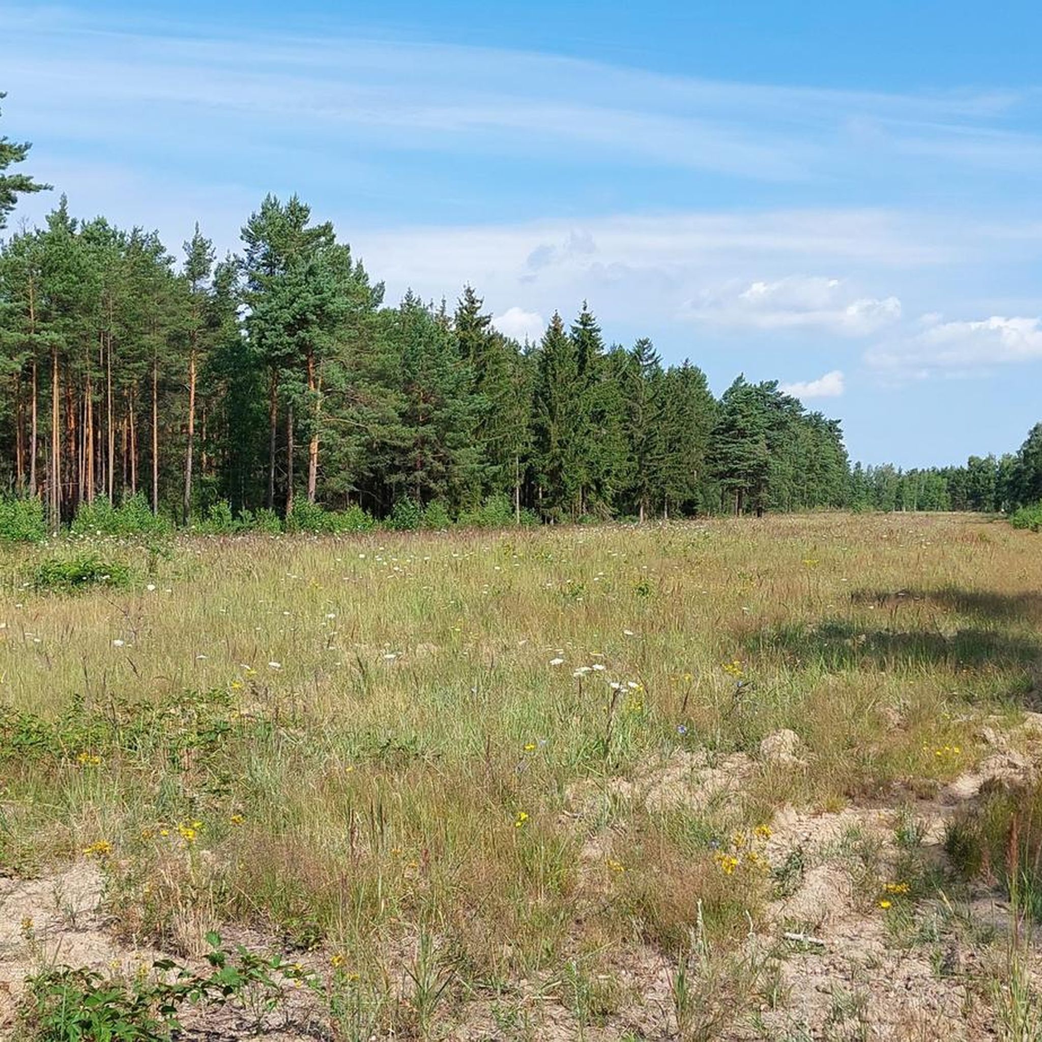
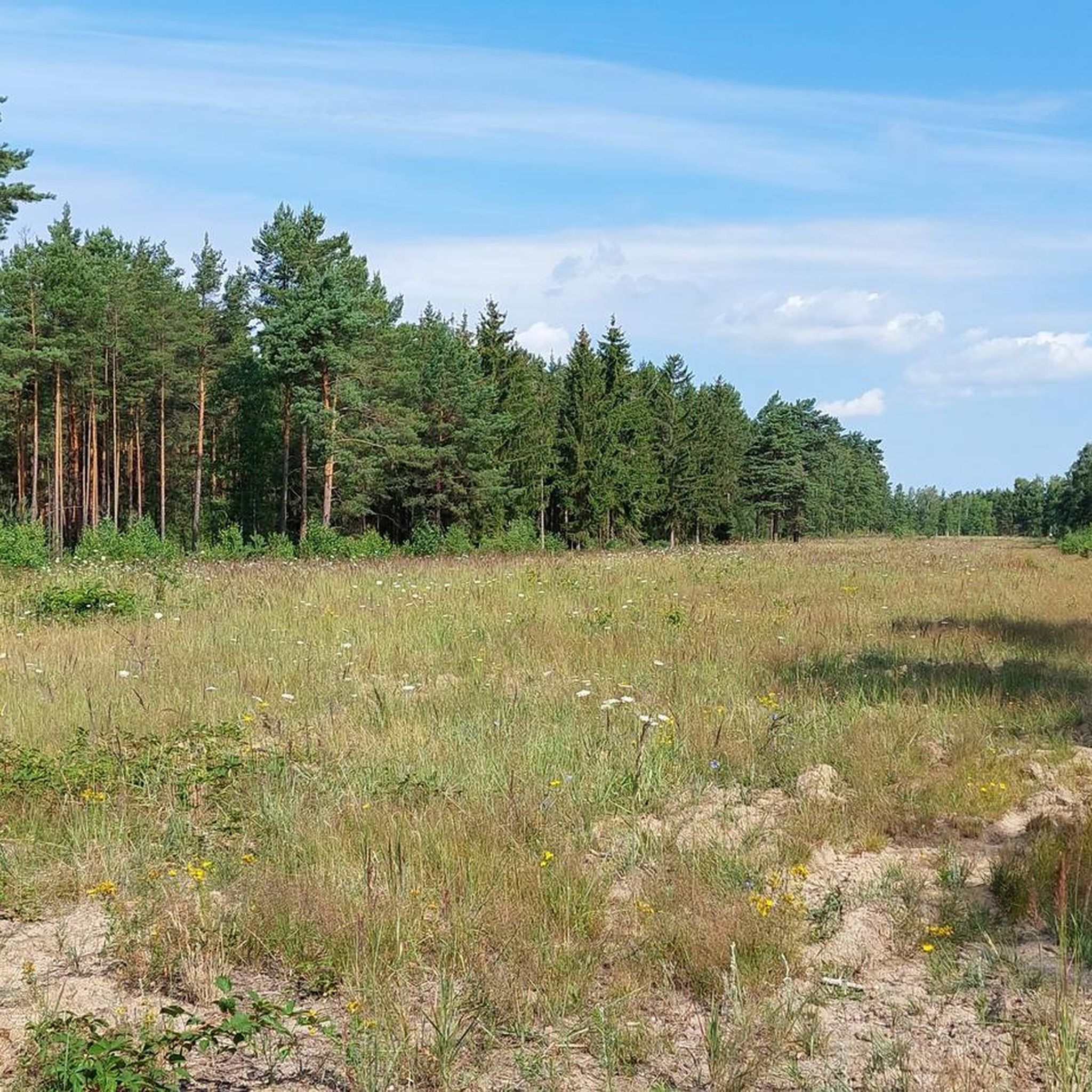
Hiking in Zschornoer Wald offers varied landscapes within a designated nature reserve and DBU natural heritage area in Brandenburg, Germany. The region is characterized by extensive pine forests, open heathlands, and dry sand grasslands, which provide habitats for specialized flora and fauna. Unique re-naturalized wetlands, formed from ice-age kettle holes, contribute to the area's ecological diversity. Zschornoer Wald is also part of the UNESCO Geopark "Muskauer Faltenbogen," highlighting its geological significance.
Best hiking trails in Zschornoer Wald
- The most popular…
Last updated: October 22, 2026
6
hikers
13.9km
03:36
80m
80m
Moderate hike. Good fitness required. Easily-accessible paths. Suitable for all skill levels.
5.0
(1)
6
hikers
Easy hike. Great for any fitness level. Easily-accessible paths. Suitable for all skill levels.

4.3
(3)
16
hikers
Hard hike. Very good fitness required. Easily-accessible paths. Suitable for all skill levels.
5.0
(3)
11
hikers
Moderate hike. Good fitness required. Easily-accessible paths. Suitable for all skill levels.
5.0
(2)
7
hikers
Moderate hike. Good fitness required. Easily-accessible paths. Suitable for all skill levels.
Get access to more routes and recommendations from other explorers.
Already have an account?
Our route recommendations are based on thousands of hikes, rides, and runs completed by other people on komoot.
Start today with a free account
Your next adventure awaits.

Tips from the Community

The two strange structures, which are supposed to represent grottos, are located not far from the famous Rakotzbrücke in the Rhododendronpark in Kromlau and are built from light natural stone and dark basalt.
12
0

A beautiful area for hiking and cycling.
0
0
Old chapel in the Jerischke cemetery.
0
0
Beautiful nature with horses.
0
0
Always good for a short stopover!
0
0

The benches in the hut are enough for 6 to 8 people, but a table is still missing;-)
1
0


Between the old trees, where the Neisse River flows leisurely, lies a bridge that is more than just a crossing. It connects two places that were once a single village – Zelz and Siedlec – and were separated by history and geography for decades after the war. Today, bicycles once again roll here instead of border patrols. The Neisse Valley Bridge was opened in 2008, after more than sixty years of waiting and planning, as a visible symbol of the partnership between the German town of Zelz and the Polish town of Trzebiel. Anyone traveling here today not only crosses a border, but also a piece of European reconciliation. From the German border post under the large oak tree, you have a beautiful view of the technical structure – unspectacular and, precisely for that reason, touching. Cyclists like to briefly push their bikes aside, look across the river, and take a photo. Perhaps also because the place exudes a quiet solemnity – and because history doesn't intrude here, but rather sits quietly there.
0
0
Frequently Asked Questions
How many hiking trails are available in Zschornoer Wald?
Zschornoer Wald offers a wide selection of hiking opportunities, with over 500 routes available. These range from easy strolls to more challenging trails, catering to various fitness levels.
What makes hiking in Zschornoer Wald a unique experience?
Hiking in Zschornoer Wald provides a unique blend of diverse landscapes, from extensive pine forests and open heathlands to re-naturalized wetlands formed by ice-age kettle holes. It's also part of the UNESCO Geopark "Muskauer Faltenbogen" and a recognized bird sanctuary, offering a chance to observe unique flora and fauna amidst an ecologically transitioning environment.
Are there any important safety considerations for hikers in Zschornoer Wald?
Yes, safety is paramount. Zschornoer Wald was a military training area, and there's a potential for unexploded ordnance. It is critically important to stay strictly on marked paths and adhere to all local signage and regulations. Entering unmarked areas is extremely dangerous. Always consult official sources like DBU Naturerbe GmbH for the most current safety information before your visit.
Are there easy hiking routes suitable for beginners or families in Zschornoer Wald?
Absolutely. Zschornoer Wald has over 300 easy routes. An excellent option for a relaxed walk is the Reiterbiwak Zschorno – Hermannsmühle loop from Jämlitz-Klein Düben, which is an easy 4.3 km path, often passing through pleasant forested sections.
Can I bring my dog on the trails in Zschornoer Wald?
While the region's natural beauty is appealing for walks with dogs, specific regulations regarding pets on trails in Zschornoer Wald, especially given its status as a nature reserve and bird sanctuary, should be checked locally. Always keep dogs on a leash to protect wildlife and ensure their safety, particularly due to the historical military use of the area.
Are there circular hiking routes available in Zschornoer Wald?
Yes, many of the trails in Zschornoer Wald are designed as circular routes, allowing you to start and end at the same point. For example, the popular Neisse Weir at Zelz – Lissberg Hill with Shelter loop from Jerischke is a moderate 13.9 km circular trail that explores the area around the Neisse Weir.
What kind of landscapes and natural features can I expect to see while hiking?
You can expect to traverse diverse landscapes including dense pine forests, open heathlands, and dry sand grasslands. The area also features unique re-naturalized wetlands, which are ice-age kettle holes. Keep an eye out for the rich undergrowth of blueberries and cranberries in the forests, and the specialized flora of the heathlands.
What is the best time of year to go hiking in Zschornoer Wald?
Zschornoer Wald offers appealing hiking conditions throughout much of the year. Spring brings fresh greenery and blooming plants, while autumn showcases vibrant fall colors. Summer is ideal for enjoying the open heathlands, but be mindful of potential heat. Winter hikes can be serene, but always check weather conditions and trail accessibility beforehand.
How long do hikes in Zschornoer Wald typically take?
Hike durations vary significantly depending on the route and your pace. Shorter, easy trails like The Red School in Tschernitz – Junction 7 loop from Tschernitz can be completed in under an hour (around 58 minutes for 3.9 km). Longer, moderate routes, such as the Neisse Weir at Zelz – Lissberg Hill with Shelter loop from Jerischke (13.9 km), typically take around 3 hours and 35 minutes.
Where can I park when visiting Zschornoer Wald for a hike?
While specific parking areas are not detailed in the general information, it is common for trailheads in nature reserves to have designated parking. It's advisable to check local maps or information from DBU Naturerbe GmbH or the specific komoot tour pages for recommended parking spots near your chosen starting point.
Is Zschornoer Wald accessible by public transport for hikers?
Information on direct public transport access to all trailheads in Zschornoer Wald is limited. However, the region is connected to towns like Tschernitz and Jerischke, which may have public transport links. For specific routes, it's best to check local bus or train schedules to nearby villages and plan your approach accordingly.
What do other hikers say about the trails in Zschornoer Wald?
The trails in Zschornoer Wald are highly regarded by the komoot community, holding an impressive average rating of 4.7 out of 5 stars from over 1,900 reviews. Hikers often praise the varied terrain, the tranquility of the forests, and the unique natural features like the heathlands and re-naturalized wetlands.
Are there any longer or more challenging routes for experienced hikers?
Yes, for those seeking a greater challenge, Zschornoer Wald offers 17 difficult routes. An example of a longer route, though not strictly within Zschornoer Wald but nearby and often explored by hikers in the broader region, is the Rakotz Bridge (Devil's Bridge) – Basalt Organ at Rakotz Lake loop from Bad Muskau, a demanding 22.3 km trail.
What kind of wildlife might I encounter while hiking in Zschornoer Wald?
As a designated bird sanctuary, Zschornoer Wald is an excellent spot for birdwatching, with species like the pygmy owl and potentially the nightjar. The diverse habitats also support other wildlife, including black woodpeckers, rough-legged owls, and even wolves. Observing wildlife requires patience and quiet, and remember to always keep a respectful distance.
Most popular routes in Zschornoer Wald

Get inspired with the komoot mobile app


Explore more
Browse the best Hikes in other regions.
