The best walks and hikes in Bollwinwiesen/ Großer Gollinsee
4.5
(2100)
7,747
hikers
14
hikes
Hiking in Bollwinwiesen/ Großer Gollinsee offers diverse natural landscapes within the protected Schorfheide-Chorin Biosphere Reserve. The terrain features well-preserved mire valleys, such as the Bollwintal, with the meandering Bollwinfließ stream. The area is dotted with clear lakes, including Großer Gollin See, Polsensee, and Giersee, alongside dense forests. These physical features create varied environments for outdoor activities.
Best hiking trails in Bollwinwiesen/ Großer Gollinsee
- The most popular hiking route is View of Lake Gollinsee – Großer Golinsee Bathing Area loop from…
Last updated: July 12, 2026
4.2
(13)
45
hikers
Moderate hike. Good fitness required. Easily-accessible paths. Suitable for all skill levels.
4.6
(13)
44
hikers
Moderate hike. Good fitness required. Easily-accessible paths. Suitable for all skill levels.

Sign up for free
4.0
(3)
7
hikers
Easy hike. Great for any fitness level. Easily-accessible paths. Suitable for all skill levels.
1.0
(2)
10
hikers
Moderate hike. Good fitness required. Easily-accessible paths. Suitable for all skill levels.
4.7
(3)
7
hikers
Moderate hike. Good fitness required. Easily-accessible paths. Suitable for all skill levels.
Get access to more routes and recommendations from other explorers.
Sign up for free
Already have an account?
Our route recommendations are based on thousands of hikes, rides, and runs completed by other people on komoot.
Start today with a free account
Your next adventure awaits.
Login or Signup
Tips from the Community

The striking circular square, with a bus stop on the side, welcomes all arrivals arriving from the L100 or from Gollin. Very appealing, worth seeing, and informative! There's a fat carved beaver figure to admire, as well as several steles with excerpts from a local author. Erna Taege-Röhnisch (1909–1998) wrote primarily in Low German. Her bust is also on display in the circular plaza.
0
0
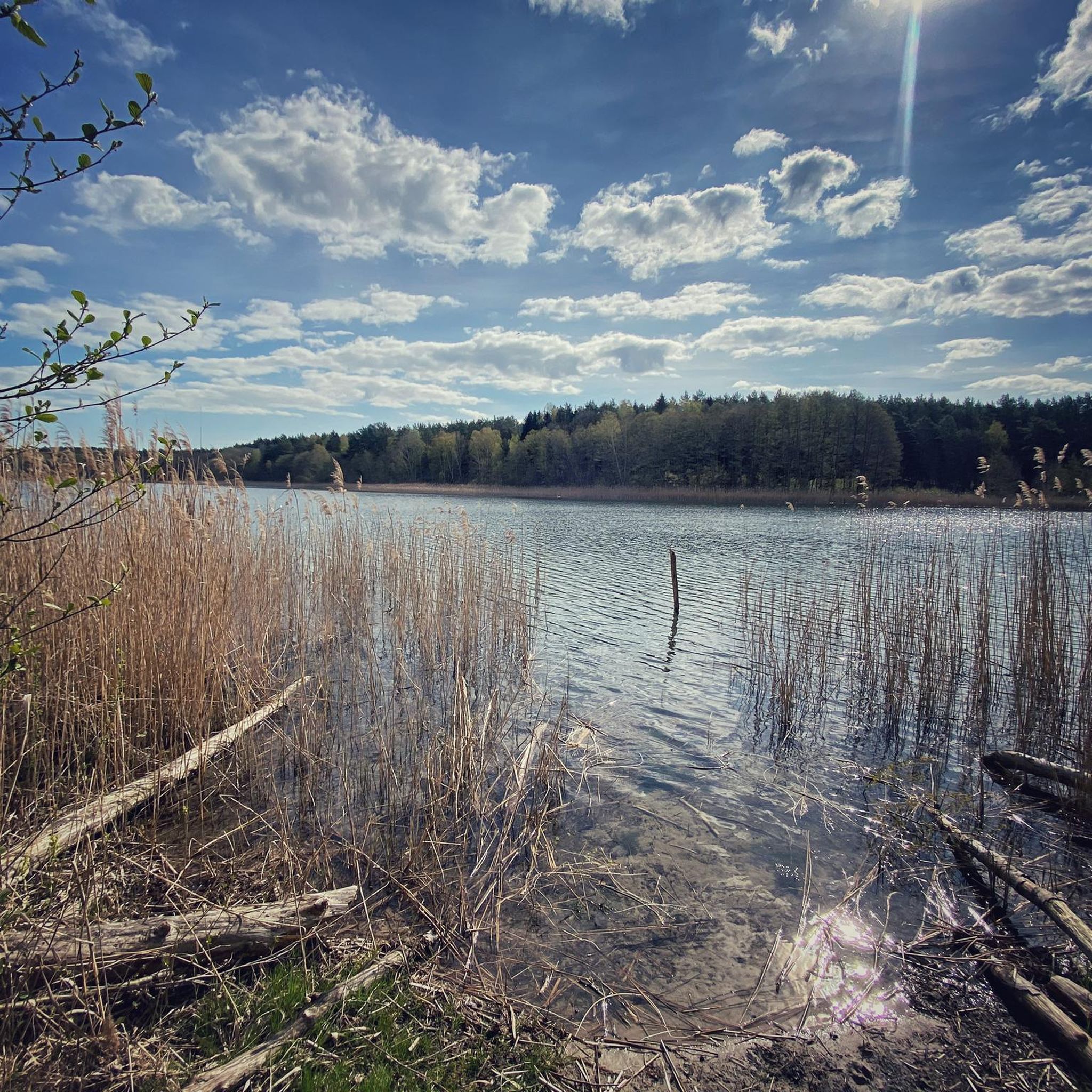
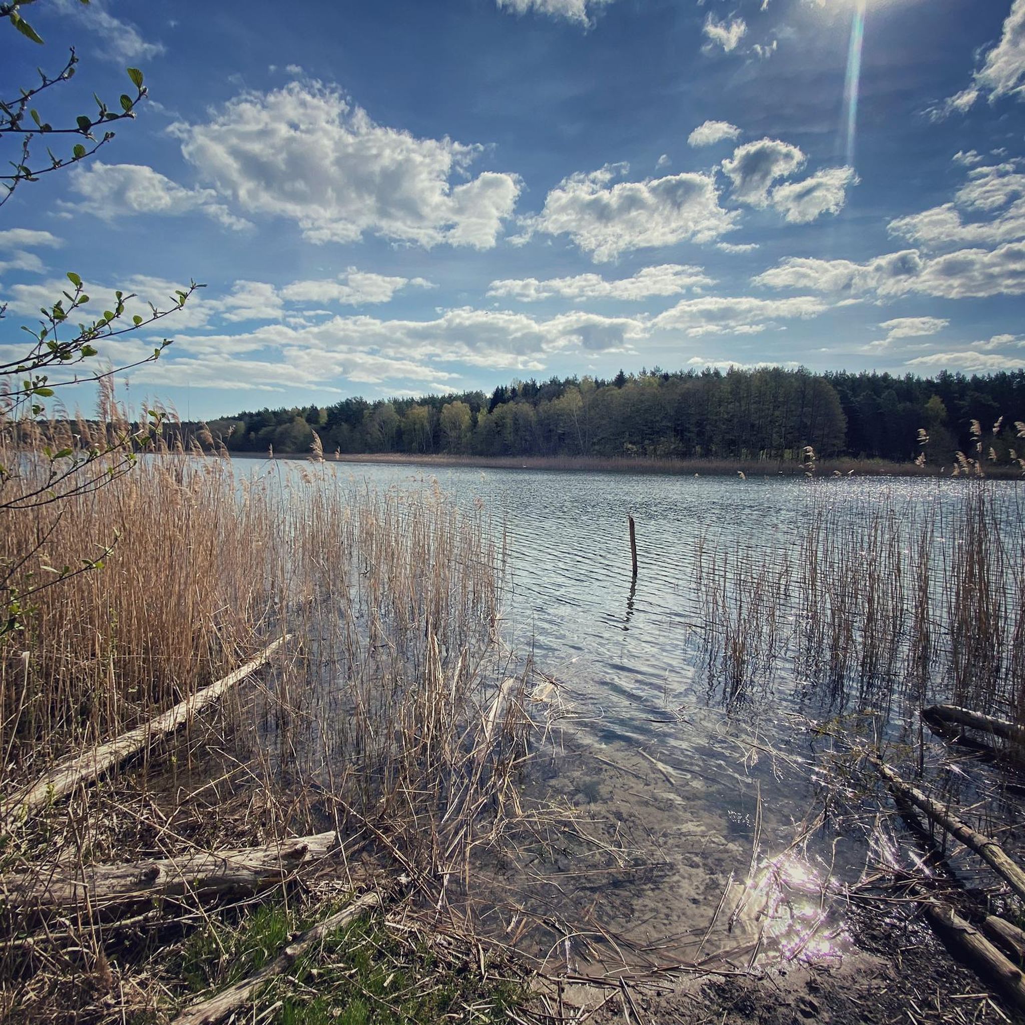
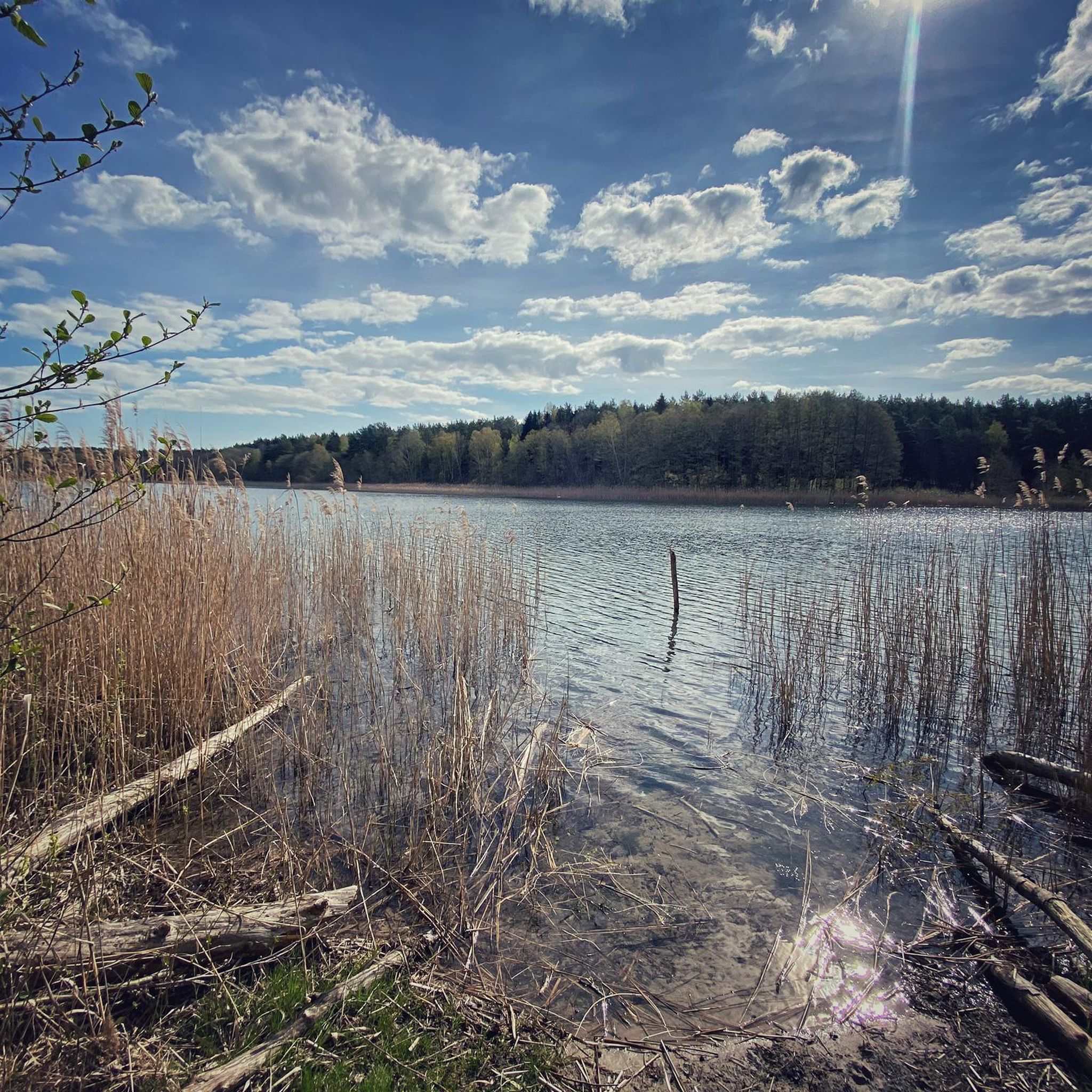
This once beautiful spot, with its view, has unfortunately become heavily overgrown with reeds. Due to high water levels, which were otherwise welcome, the narrow shoreline has become even smaller. Neither staying here nor swimming is enjoyable. At least there's still some peppermint. Until two years ago, there were masses of them, so they were everywhere along the shoreline; now you have to search for the plants with great effort!
0
0
This bathing spot, like the other one further north, has largely lost its charm. Too much reed, a narrow entrance, and you can barely see the lake! Furthermore, the bottom of the water is very muddy. Unfortunately, there's no bench left either; it's long since fallen into disrepair.
0
0
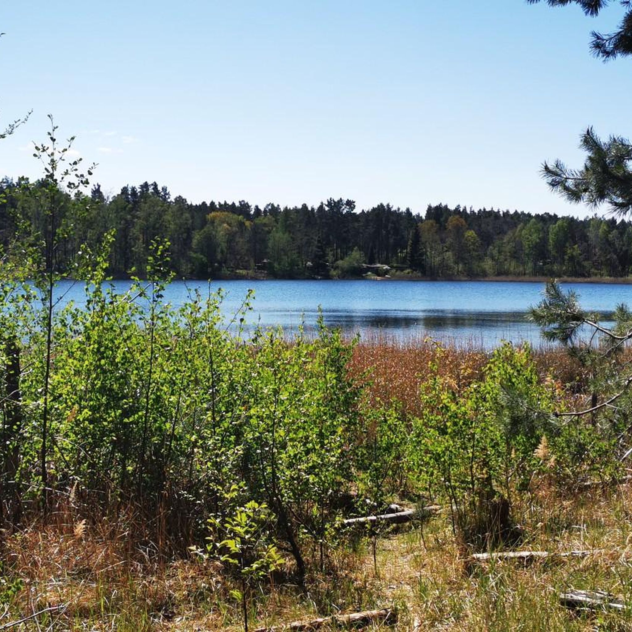
This beautiful swimming spot isn't easy to find. You have to use one of two short paths that branch off Golliner Straße. Parking isn't a problem in the town center. The question is whether it's really worth the effort to get to the lake. The lakebed is nice and firm (sand), the grassy beach area has plenty of space and benches, but the area is mostly shaded. Boats are moored just about 50 meters away. The former shore path is extremely overgrown and absolutely not recommended for exploring or touring!
0
0

The path lies between the Vietmannsforf bathing area and the fisherman's hut. The hut hasn't existed for many decades, but the place is still called that. The shore here is a few meters below the rest of the terrain and is lined with shrubbery and some very old trees. Traces of beaver activity can be found everywhere.
0
0
Until the Russians withdrew from the airfield, the site was a large open bathing area, which was reclaimed by nature over the years.
0
0

With such a chic bus shelter, you'll be happy to get to the stop a little earlier.
0
1

There is a huge gingko tree here. It was planted over 200 years ago. An information board explains this. In Dargersdorf there are also various young gingkos with boards.
0
0
Frequently Asked Questions
What kind of natural landscapes can I expect to see in Bollwinwiesen/Großer Gollinsee?
The region, nestled within the Schorfheide-Chorin Biosphere Reserve, features diverse landscapes shaped by the Ice Age. You'll find well-preserved mire valleys like the Bollwintal with the meandering Bollwinfließ stream, clear lakes such as Großer Gollin See, Polsensee, and Giersee, as well as dense forests, moorland, and heathland.
What is the typical difficulty level of hiking trails in Bollwinwiesen/Großer Gollinsee?
The area offers a range of trails suitable for different abilities. You'll find many easy walks, with the majority of routes being moderate. For example, the View of Lake Gollinsee – Großer Golinsee Bathing Area loop is a moderate 7.9 km trail. There are also a few more challenging routes for experienced hikers.
Are there any notable attractions or landmarks along the hiking trails?
Yes, several points of interest enhance the hiking experience. You can visit the Old Wooden Bridge over the Bollwinfließ, which offers enchanting views. The Gut Gollin Farm and Pond is a popular starting point and attraction. You might also encounter the Bollwintal Stream with Small Waterfalls. For a refreshing stop, the Gollinsee Bathing Area is also accessible.
Are there family-friendly hiking options in Bollwinwiesen/Großer Gollinsee?
Yes, the region has many easy and moderate trails that are suitable for families. For instance, the Grandfathers' Village – Great Vätersee loop is an easy 2.9 km route that can be completed in under an hour, perfect for a shorter family outing.
Can I bring my dog on the hiking trails?
Generally, dogs are welcome on trails in the Bollwinwiesen/Großer Gollinsee area, especially as it's within a biosphere reserve. However, it's always recommended to keep dogs on a leash to protect local wildlife and respect other hikers, particularly in sensitive natural areas.
What kind of wildlife and flora can I observe while hiking?
The area is rich in biodiversity. Hikers often have the chance to spot beavers, storks, cranes, red and fallow deer, squirrels, and owls. The diverse flora includes various lichens and the unique plant life associated with the mire valleys and dense forests.
Are there circular hiking routes available?
Yes, many routes in the region are circular, making them convenient for starting and ending at the same point. Examples include the Dargersdorf Church – Gut Gollin Farm and Pond loop, which is a moderate 9.6 km trail, and the Dargersdorf Church – Gut Gollin Farm and Pond loop from Gut Gollin, a 7.8 km option.
Where can I park when visiting Bollwinwiesen/Großer Gollinsee?
Gut Gollin often serves as a practical starting point for hikes and usually offers parking facilities. It's advisable to check local signage upon arrival for designated parking areas, especially near popular trailheads or attractions like the Gut Gollin Farm and Pond.
Are there places to eat or get refreshments after a hike?
Yes, Gut Gollin Farm and Pond is a great option, featuring a farm shop with local products and a Hofcafé where you can rest and enjoy refreshments after your walk.
What do other hikers enjoy most about hiking in Bollwinwiesen/Großer Gollinsee?
The area is highly rated by the komoot community, with an average score of 4.5 stars from over 2000 reviews. Hikers often praise the well-preserved natural landscapes, the tranquility of the mire valleys, the scenic lake views, and the diverse wildlife. The combination of protected nature and varied terrain makes it a compelling destination.
When is the best time of year to hike in Bollwinwiesen/Großer Gollinsee?
The region is beautiful year-round, but spring and autumn offer particularly pleasant hiking conditions with mild temperatures and vibrant natural colors. Summer is also popular, especially for enjoying the lakes, while winter can provide a serene experience, though some paths might be less accessible depending on snow and ice.
How many hiking trails are there in Bollwinwiesen/Großer Gollinsee?
There are over 390 hiking trails in Bollwinwiesen/Großer Gollinsee, offering a wide variety of options for all skill levels. This includes over 200 easy routes, 160 moderate routes, and 27 more difficult trails.
Most popular routes in Bollwinwiesen/ Großer Gollinsee
Most popular attractions in Bollwinwiesen/ Großer Gollinsee

Get inspired with the komoot mobile app


Explore more
Browse the best Hikes in other regions.
