The best walks and hikes in Wittenberge-Rühstädter Elbniederung
4.4
(451)
1,985
hikers
207
hikes
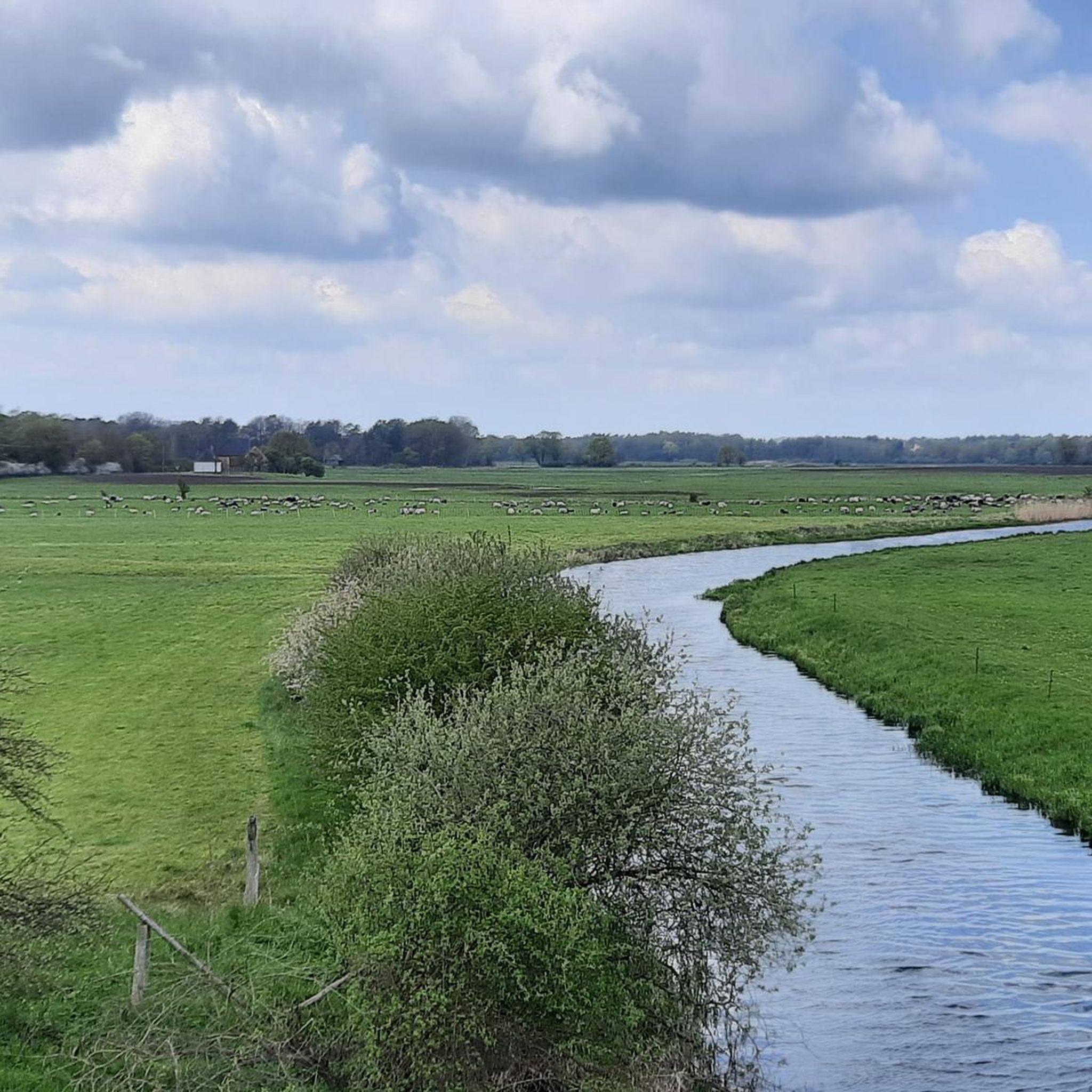
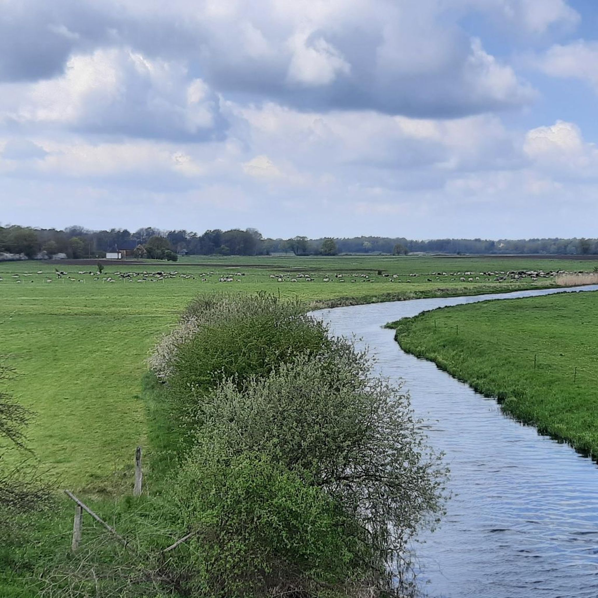
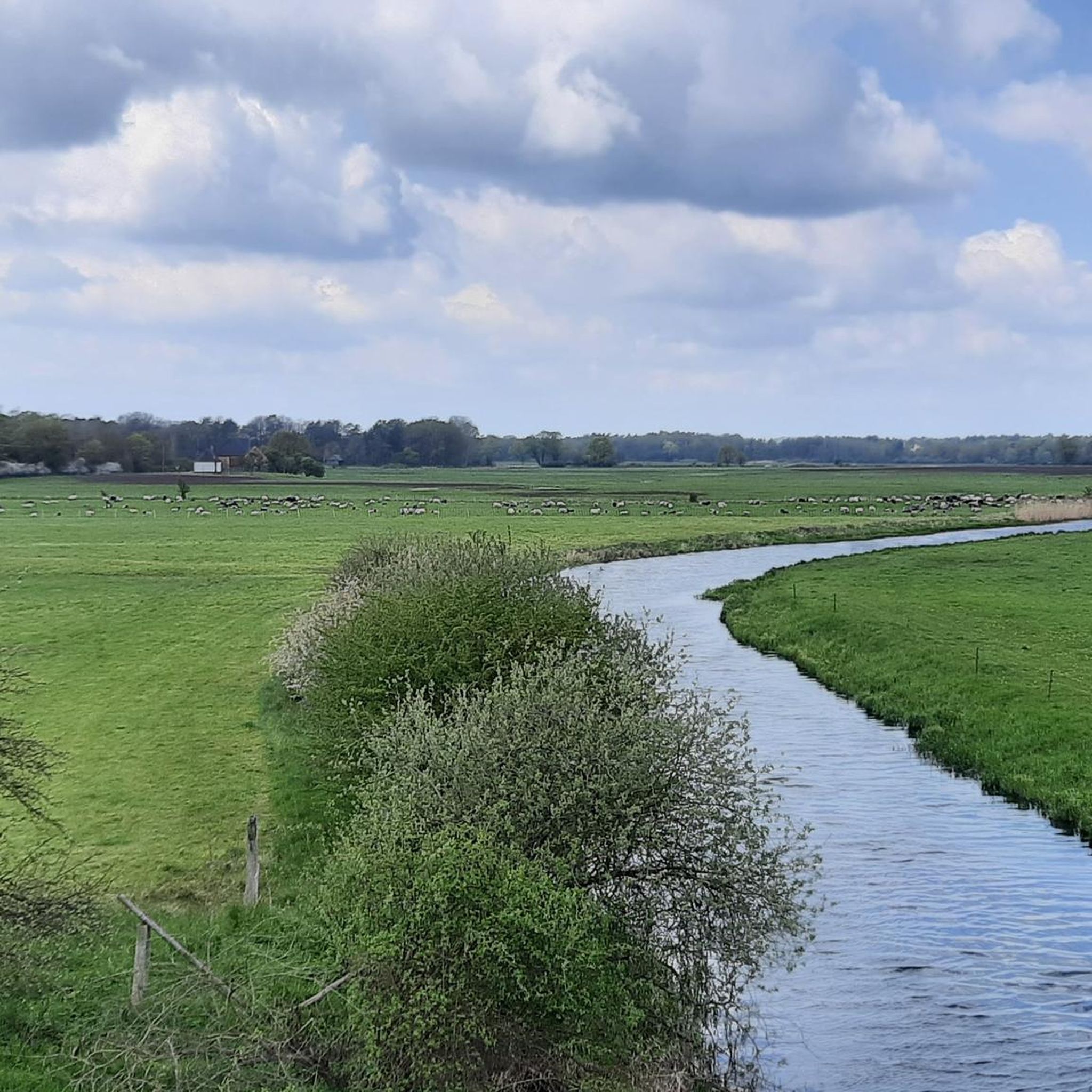
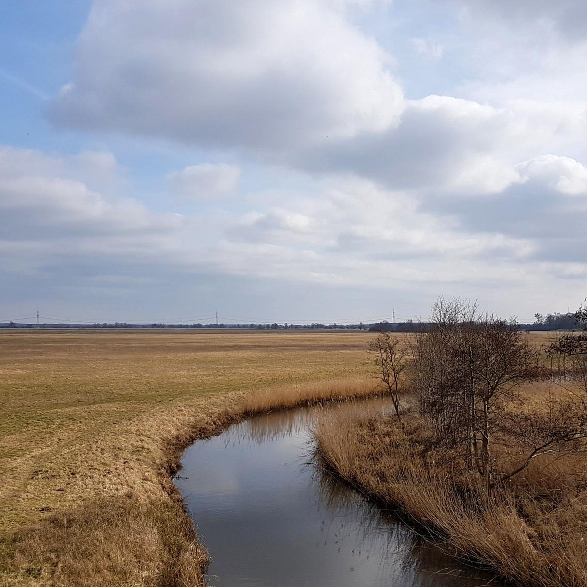
Hiking in Wittenberge-Rühstädter Elbniederung is characterized by the expansive Elbe River landscape, featuring wide floodplains, extensive green spaces, and urban forests. The terrain is generally flat, making it accessible for various fitness levels. A significant portion of the region is part of the UNESCO Biosphere Reserve "Flusslandschaft Elbe Brandenburg," known for its well-preserved natural environment and diverse ecosystems. Hikers can explore unique floodplain forests, marshlands, and dikes offering panoramic views of the Prignitz region.
Best hiking trails in Wittenberge-Rühstädter Elbniederung
…Last updated: July 11, 2026
4.7
(27)
87
hikers
Moderate hike. Good fitness required. Easily-accessible paths. Suitable for all skill levels.
4.7
(16)
58
hikers
Moderate hike. Good fitness required. Easily-accessible paths. Suitable for all skill levels.

Sign up for free
4.3
(11)
31
hikers
Hard hike. Very good fitness required. Easily-accessible paths. Suitable for all skill levels.
4.7
(9)
37
hikers
Easy hike. Great for any fitness level. Easily-accessible paths. Suitable for all skill levels.
5.0
(5)
11
hikers
Hard hike. Very good fitness required. Easily-accessible paths. Suitable for all skill levels.
Get access to more routes and recommendations from other explorers.
Sign up for free
Already have an account?
Our route recommendations are based on thousands of hikes, rides, and runs completed by other people on komoot.
Start today with a free account
Your next adventure awaits.
Login or Signup
Popular around Wittenberge-Rühstädter Elbniederung

Tips from the Community

Very nice section with good bike path on top of the dike crown.
0
0
The cycle path splits here: The Elberadweg continues onto the "Festland" and the cycle path along the river island to Havelberg. The island path is recommended: Wonderful landscape with rivers on both sides.
0
0
It is actually the mouth of the so-called Gnevsdorfer drainage channel. Anyway: a very beautiful place and a good view of the estuary. Worth it.
0
0
You have to do it, from the top you have a good view of both rivers. Great!
0
0

The village church of Rühstädt, also known as Quitzow Church, dates back to the 15th century. It was built under the influence of the noble von Quitzow family, who shaped the village for a long time. The original late Gothic brick building with a semicircular apse was remodeled in the Baroque style in the 18th century and a striking west tower was added. Important furnishings have been preserved inside, including a late Gothic carved altarpiece, several tombstones of the von Quitzow family, and a historic organ from 1738. A late Gothic mural of the Last Judgment in the apse is particularly noteworthy. Today, the church is a listed building and part of the Open Churches Initiative, meaning it is often open to visitors.
1
0
The observation tower on the Elbe Cycle Path near Bälow is situated in the heart of the Elbe floodplains and offers a panoramic view of the river landscape, dikes, and meadows of the Prignitz region. It primarily serves as a rest stop and viewpoint for cyclists on the Elbe Cycle Path, as well as an observation point for the diverse birdlife of the Elbe River Landscape Biosphere Reserve. From the elevated platform, numerous water birds and meadow birds can be observed, especially during migration seasons, thus combining landscape observation with a nature experience.
0
0

Nice place to take a break and unwind
0
0
A very impressive place with beautiful buildings
0
0
Frequently Asked Questions
What kind of terrain can I expect on the hiking trails in Wittenberge-Rühstädter Elbniederung?
The region is characterized by the expansive Elbe River landscape, featuring wide floodplains, extensive green spaces, and urban forests. The terrain is generally flat, making it accessible for various fitness levels. You'll find unique floodplain forests, marshlands, and dikes offering panoramic views of the Prignitz region.
What is the difficulty level of hiking trails in Wittenberge-Rühstädter Elbniederung?
The trails in Wittenberge-Rühstädter Elbniederung cater to various abilities. There are over 200 routes available, with 138 classified as easy, 64 as moderate, and 9 as difficult. The generally flat terrain makes many routes suitable for beginners and those seeking a relaxed walk.
Are there any circular hiking routes in the region?
Yes, many routes are designed as circular walks, allowing you to start and end at the same point. For example, the Grumbkow Obelisk – Stork Village Rühstädt loop from Rühstädt is a popular moderate circular trail. Another option is the Havel Confluence With the Elbe – Stork Village Rühstädt loop from Rühstädt, which is an easy circular route.
What natural features and attractions can I see while hiking?
The region is rich in natural beauty. You can explore the unique floodplain forests and marshlands, walk along dikes with panoramic views, and visit the Confluence of the Gnevsdorfer Vorfluter and the Elbe. The Bridge Over the Karthane is another picturesque spot, offering views of the river and opportunities for birdwatching.
Where can I best observe wildlife, especially storks?
Rühstädt is famously known as the 'European Stork Village.' From April to August, you can observe numerous storks nesting on the characteristic red brick houses. A dedicated viewpoint called 'Walter Fritze Storchenblick' offers excellent opportunities. Beyond storks, the UNESCO Middle Elbe Biosphere Reserve is a haven for diverse birdlife, including cranes, herons, and geese, particularly in the meadows and along the rivers.
Are there family-friendly hiking options in Wittenberge-Rühstädter Elbniederung?
Absolutely. The generally flat terrain and well-developed trails make many routes suitable for families. Easy routes like the Havel Confluence With the Elbe – Stork Village Rühstädt loop from Rühstädt are great choices for a family outing. The region's focus on nature observation, especially storks, can also be engaging for children.
Can I hike with my dog in this region?
Yes, many trails in Wittenberge-Rühstädter Elbniederung are suitable for hiking with dogs. Given the natural environment and open spaces, it's a great area for walks with your canine companion. Always ensure your dog is kept on a leash, especially in nature reserve areas and near wildlife, and respect local regulations.
What do other hikers enjoy the most about hiking in Wittenberge-Rühstädter Elbniederung?
The area is highly rated by the komoot community, with an average score of 4.5 stars from over 400 reviews. Reviewers often praise the tranquil natural scenery, the expansive Elbe floodplains, and the unique experience of observing wildlife, particularly the storks in Rühstädt. The well-maintained and accessible trails are also frequently highlighted.
Is public transport available to access the hiking trails?
While specific public transport details for every trailhead are not available, the region is generally accessible. Wittenberge is a significant town with train connections. For detailed information on reaching specific starting points, it's advisable to check local bus and train schedules in advance.
What is the best time of year to go hiking in Wittenberge-Rühstädter Elbniederung?
The region offers unique experiences throughout the year. Spring (April-May) is ideal for observing the return of the storks and other migratory birds. Summer (June-August) provides warm weather for longer hikes. Autumn (September-October) brings beautiful colors to the landscape. Even winter hiking can be peaceful, offering a different perspective of the Elbe floodplains, though some paths might be muddy.
Are there any long-distance hiking opportunities?
While many routes are shorter, there are options for longer excursions. For instance, the Stork Village Rühstädt – Havel Confluence With the Elbe loop from Rühstädt is a more challenging, longer route covering over 25 km. The region's dikes and riverside paths also connect to longer cycling routes that can be adapted for walking, offering extensive exploration.
Most popular routes in Wittenberge-Rühstädter Elbniederung
Most popular attractions in Wittenberge-Rühstädter Elbniederung

Get inspired with the komoot mobile app


Explore more
Browse the best Hikes in other regions.
