The best walks and hikes in Harper Moor
4.6
(798)
2,800
hikers
116
hikes
Hiking trails in Harper Moor offer a network of routes through varied terrain in the Stendal region. The area features paths around Arendsee Lake and through green belt areas, connecting natural spaces with local landmarks. With minimal elevation changes, the trails are generally flat, making them accessible for many hikers. The landscape provides opportunities to explore both natural and historical points of interest.
Best hiking trails in Harper Moor
- The most popular hiking route is Arendsee Beach – Arendsee Lake…
Last updated: June 28, 2026
5.0
(3)
11
hikers
22.1km
05:36
40m
40m
Hard hike. Very good fitness required. Easily-accessible paths. Suitable for all skill levels.
3
hikers
Easy hike. Great for any fitness level. Easily-accessible paths. Suitable for all skill levels.

Sign up for free
4.5
(4)
5
hikers
8.08km
02:02
10m
10m
Moderate hike. Good fitness required. Easily-accessible paths. Suitable for all skill levels.
5.0
(3)
10
hikers
5.17km
01:18
10m
10m
Easy hike. Great for any fitness level. Easily-accessible paths. Suitable for all skill levels.
4.6
(5)
15
hikers
7.67km
01:56
10m
10m
Easy hike. Great for any fitness level. Easily-accessible paths. Suitable for all skill levels.
Get access to more routes and recommendations from other explorers.
Sign up for free
Already have an account?
Our route recommendations are based on thousands of hikes, rides, and runs completed by other people on komoot.
Start today with a free account
Your next adventure awaits.
Login or Signup
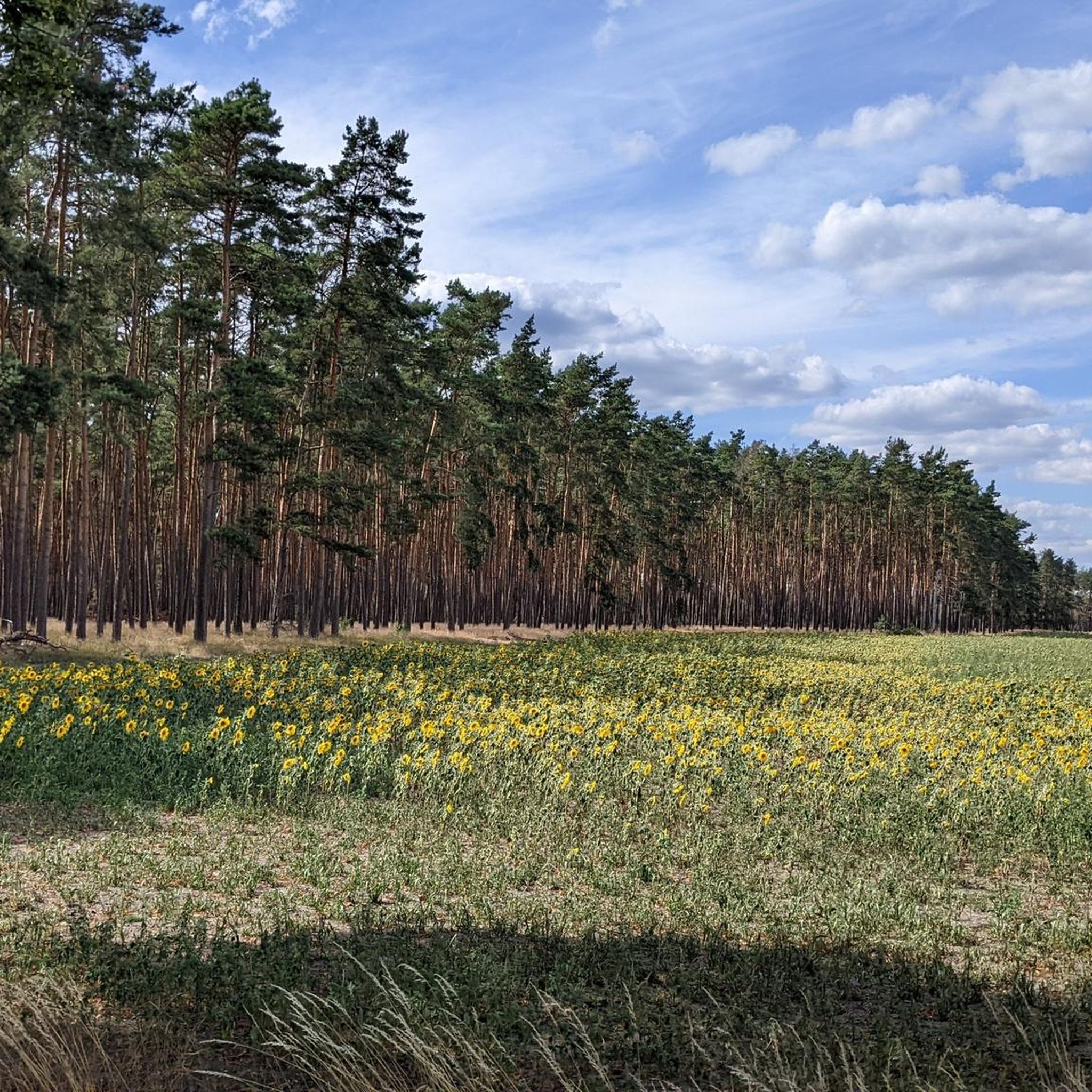
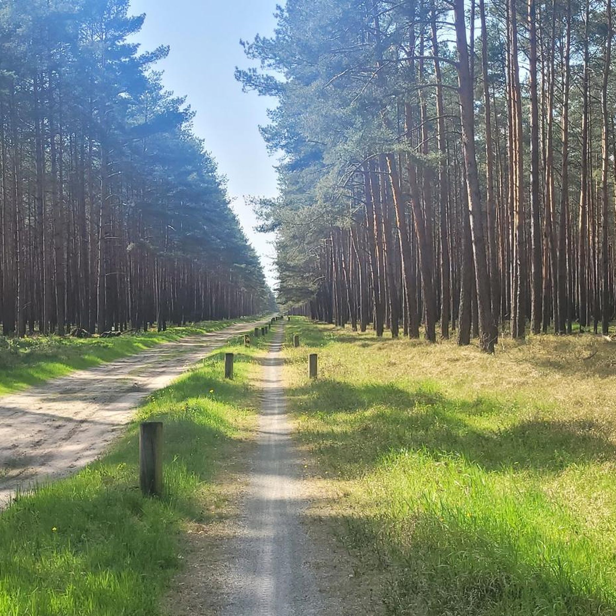
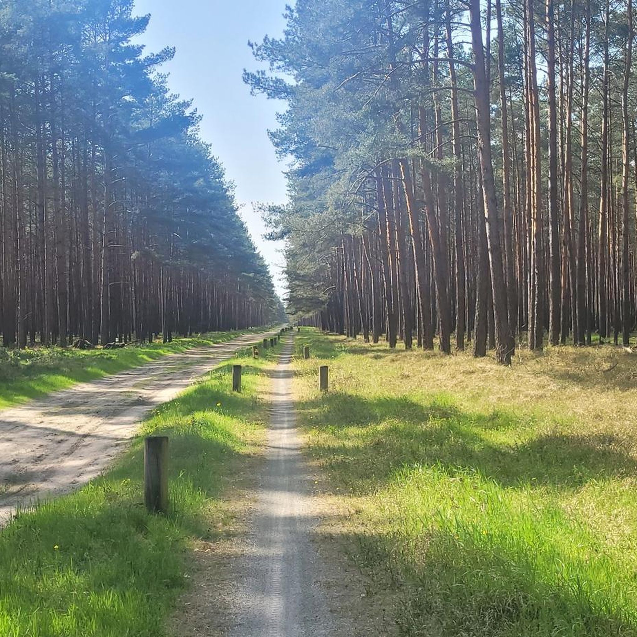
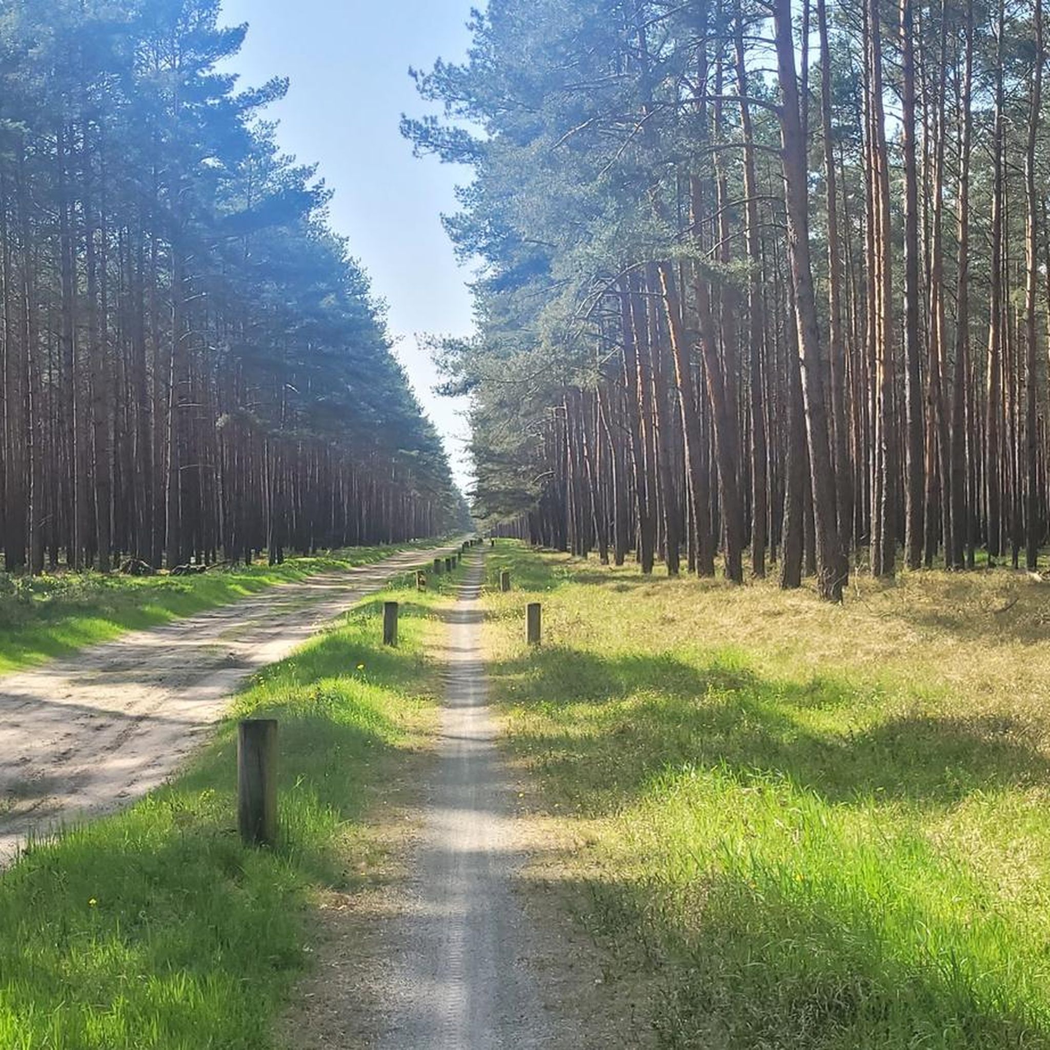
Tips from the Community

a new, more stable blue bench now stands in this memorable place
0
0
At this point, the West German area jutted pointedly into the GDR, the next place in the West is Wirl, hence Wirler Spitze as it seems, it was one of many visitor points to look into the East. Opposite the Spitze on the Kolonnenweg stood an observation tower (BT) a small sand hill or dune named Klocksberg, here you can move freely today, in all directions! There are some nature conservation projects: biotopes, pulling pines, etc. It should also be a place of remembrance and reflection. 2 posts of the border fence have remained
0
0
Border signal and barrier fence GSSZ II once almost unreachable, almost insurmountable.. today "wild boar field" and accessible to everyone
0
0

Covered and with a trash can
0
0

There are play areas for children at many points along the circular route around Lake Arendsee.
2
0
Hikers heading towards Wirler Spitze should take the BGS trail and not the bridle path suggested by komoot.
0
0
On the Altmark side, there is a rest area, unfortunately only in the shade, with information about nature conservation along the Green Belt.
0
0
There is also a solid rest area at the fork in the road.
0
0
Frequently Asked Questions
How many hiking trails are available in Harper Moor?
Harper Moor offers a wide selection of hiking trails, with nearly 120 routes to explore. These range from easy strolls to more challenging long-distance paths, catering to various preferences and fitness levels.
What kind of terrain can I expect when hiking in Harper Moor?
The terrain in Harper Moor is generally flat with minimal elevation changes, making it accessible for many hikers. You'll find paths around Arendsee Lake and through green belt areas, connecting natural spaces with local landmarks.
Are there any easy hiking trails suitable for beginners or families in Harper Moor?
Yes, Harper Moor has over 50 easy hiking routes. An excellent option is the Blue Bench at the Green Belt – Simon Cross Memorial loop from Radlerrast, which is 3.9 miles (6.3 km) long and leads through pleasant green belt areas.
What are some notable landmarks or points of interest to see while hiking in Harper Moor?
Hikers can discover local landmarks such as the Harpe Brick Church, which is featured on a popular moderate loop trail. The area also includes paths leading to the Simon Cross Memorial and along the scenic Arendsee Lake.
Are there any circular hiking routes in Harper Moor?
Yes, many routes in Harper Moor are circular. For example, the Arendsee Beach – Arendsee Lake loop from Harper Moor offers extensive views around the lake, and the Harpe Brick Church – Harper Moor loop from Harper Moor is another popular circular option.
What do other hikers say about the trails in Harper Moor?
The komoot community highly rates the routes in Harper Moor, with an average score of 4.6 stars from over 760 reviews. Hikers often praise the varied terrain, the scenic paths around Arendsee Lake, and the well-connected network of trails that link natural spaces with local landmarks.
Are there any long-distance or more challenging hikes in Harper Moor?
For those seeking a challenge, Harper Moor offers 10 difficult routes. The Arendsee Beach – Arendsee Lake loop from Harper Moor is a demanding 13.8-mile (22.2 km) trail that provides extensive views and takes approximately 5 hours 36 minutes to complete.
Can I find moderate difficulty trails in Harper Moor?
Absolutely. Harper Moor features over 50 moderate trails. A popular choice is the Harpe Brick Church – Harper Moor loop from Harper Moor, a 5.0-mile (8.1 km) path that guides you through local landscapes.
What natural features define the hiking experience in Harper Moor?
The hiking experience in Harper Moor is characterized by its flat terrain, the presence of Arendsee Lake, and the green belt areas. These features create a peaceful environment for exploring the Stendal region's natural beauty.
Is Harper Moor suitable for exploring different types of landscapes?
Yes, Harper Moor offers a diverse landscape for hikers. You can explore routes that wind around the expansive Arendsee Lake, traverse tranquil green belt areas, and connect to various local landmarks, providing a mix of natural and cultural sights.
What is the general accessibility of trails in Harper Moor?
Given the minimal elevation changes and generally flat terrain, many trails in Harper Moor are accessible. The network offers options for different ability levels, from easy strolls to more challenging long-distance routes, ensuring a suitable path for most hikers.
Most popular routes in Harper Moor

Get inspired with the komoot mobile app


Explore more
Browse the best Hikes in other regions.
