The best walks and hikes in Untere Pulsnitzniederung
4.7
(1030)
3,422
hikers
439
hikes
Hiking in Untere Pulsnitzniederung offers a network of trails through a landscape characterized by low hills, meadows, and natural water features. The region features a predominantly flat terrain, with extensive grasslands, fens, and wet meadows. The Pulsnitz River flows through the area, contributing to a diverse riverine landscape and an extensive ditch system. This unique hydrological system supports rich aquatic plant communities and ground-water influenced meadow and forest ecosystems.
Best hiking trails in Untere Pulsnitzniederung
- The most popular hiking route…
Last updated: July 6, 2026
8
hikers
12.2km
03:12
110m
110m
Moderate hike. Good fitness required. Easily-accessible paths. Suitable for all skill levels.
5.0
(3)
4
hikers
7.14km
01:54
80m
80m
Easy hike. Great for any fitness level. Easily-accessible paths. Suitable for all skill levels.

Sign up for free
5.0
(1)
2
hikers
6.73km
01:47
70m
70m
Easy hike. Great for any fitness level. Easily-accessible paths. Suitable for all skill levels.
5.0
(1)
3
hikers
6.05km
01:35
40m
50m
Easy hike. Great for any fitness level. Easily-accessible paths. Suitable for all skill levels.
4.5
(18)
65
hikers
5.52km
01:31
90m
90m
Easy hike. Great for any fitness level. Easily-accessible paths. Suitable for all skill levels.
Get access to more routes and recommendations from other explorers.
Sign up for free
Already have an account?
Our route recommendations are based on thousands of hikes, rides, and runs completed by other people on komoot.
Start today with a free account
Your next adventure awaits.
Login or Signup
Tips from the Community

The tower, which stands on Brandenburg's highest natural point, had to be dismantled due to wood damage. The completion of the reconstruction or renovation is currently still open (https://www.lr-online.de/lausitz/elsterwerda/heidebergturm-bei-groeden-aussichtsturm-zurueckgebaut-wann-er-wieder-begehbar-ist-78771524.html).
0
0

It's always worth it! But the tower is currently closed due to construction work. It's not open to climb.
0
0

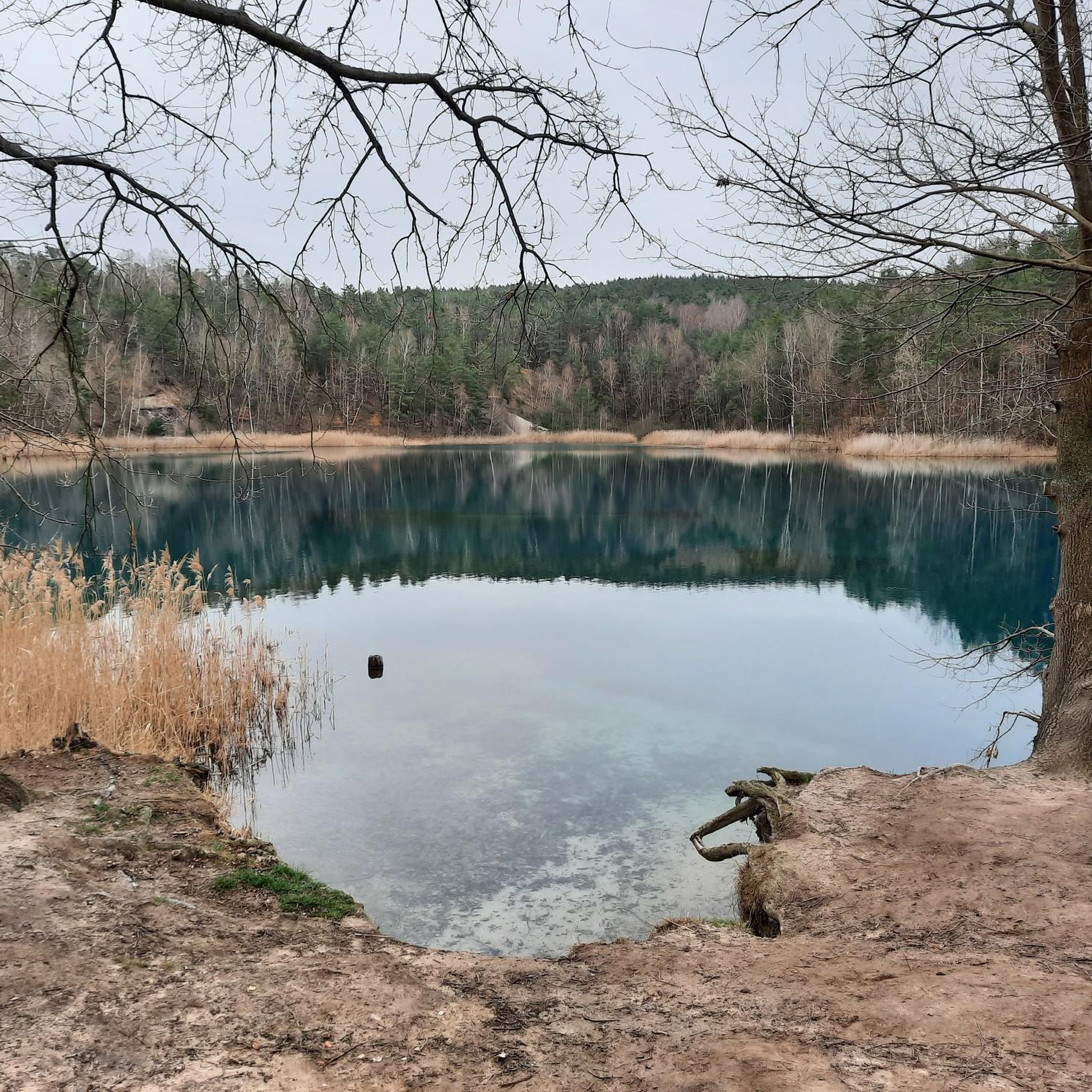
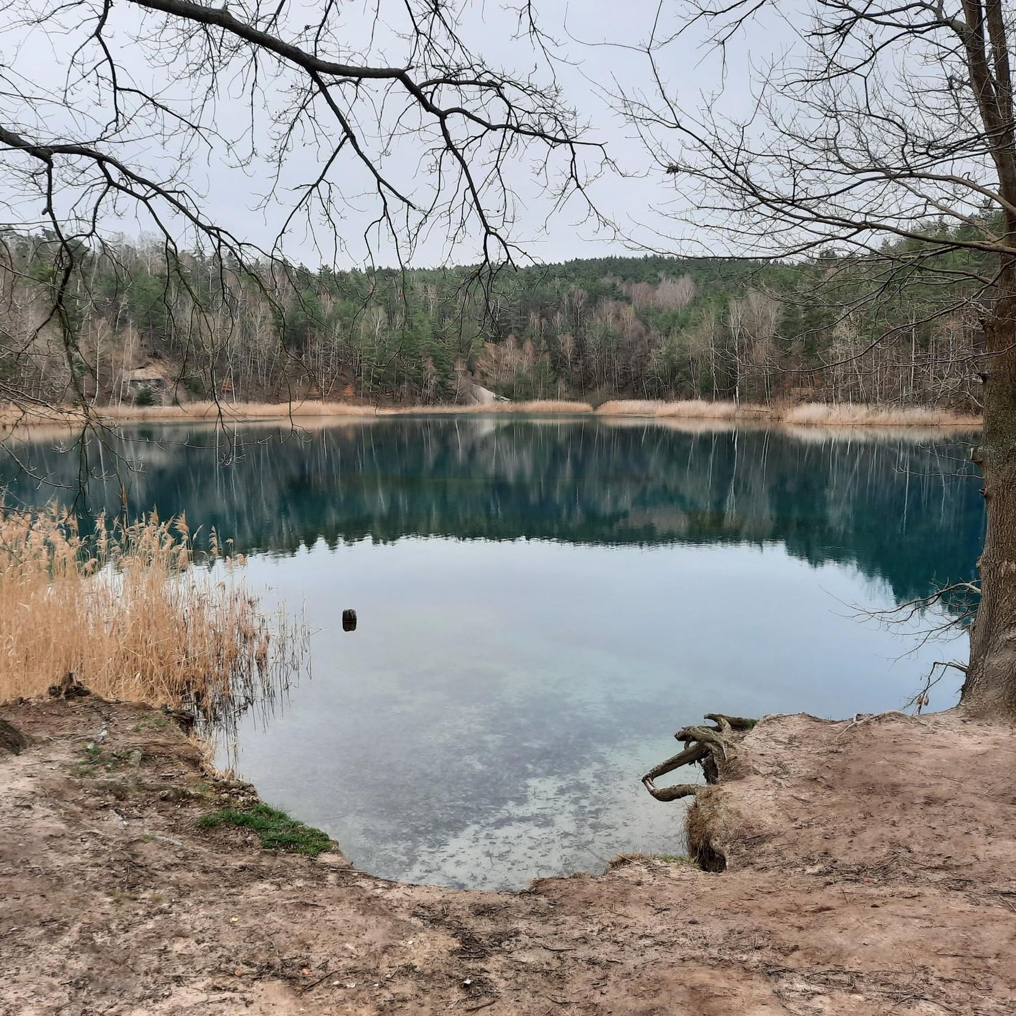
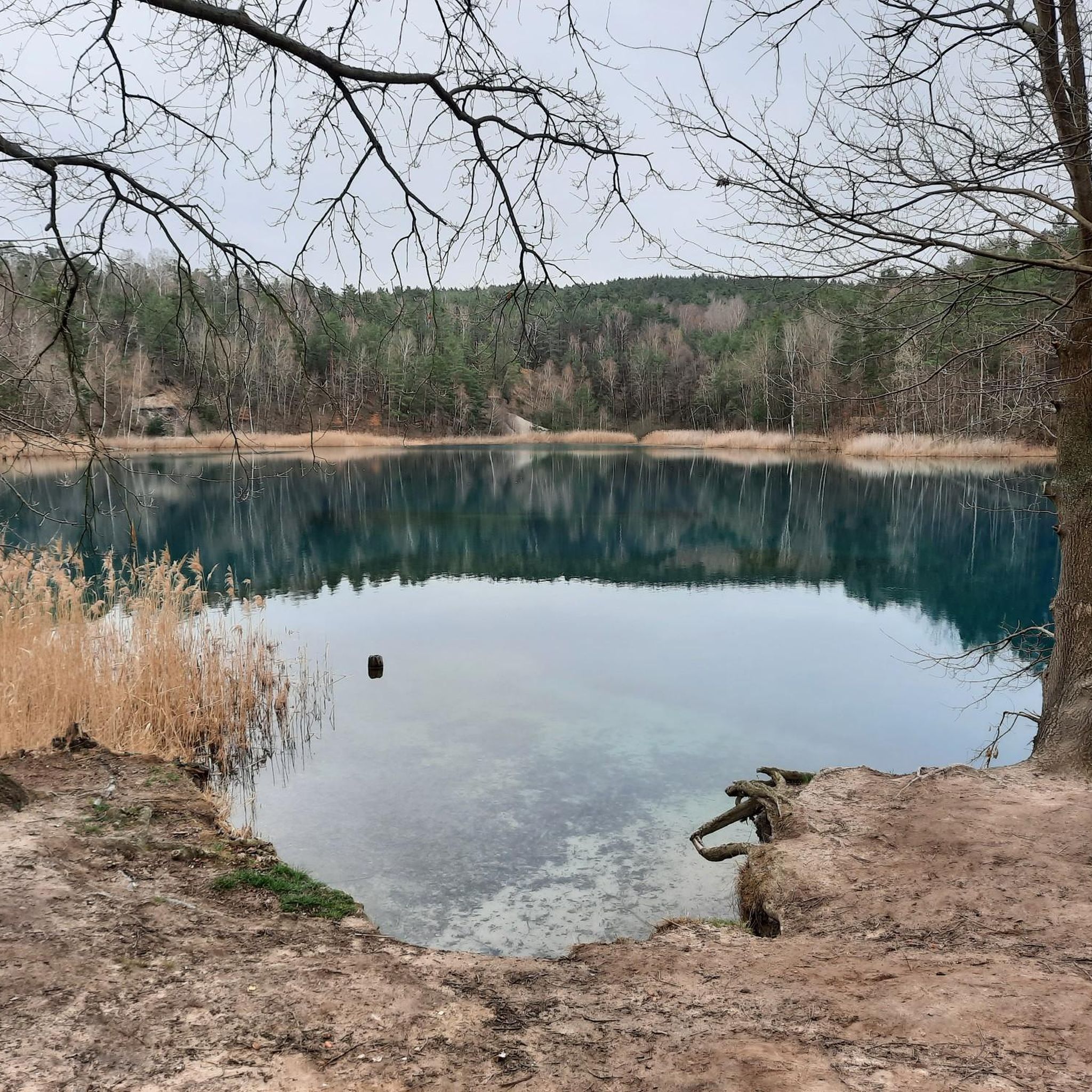
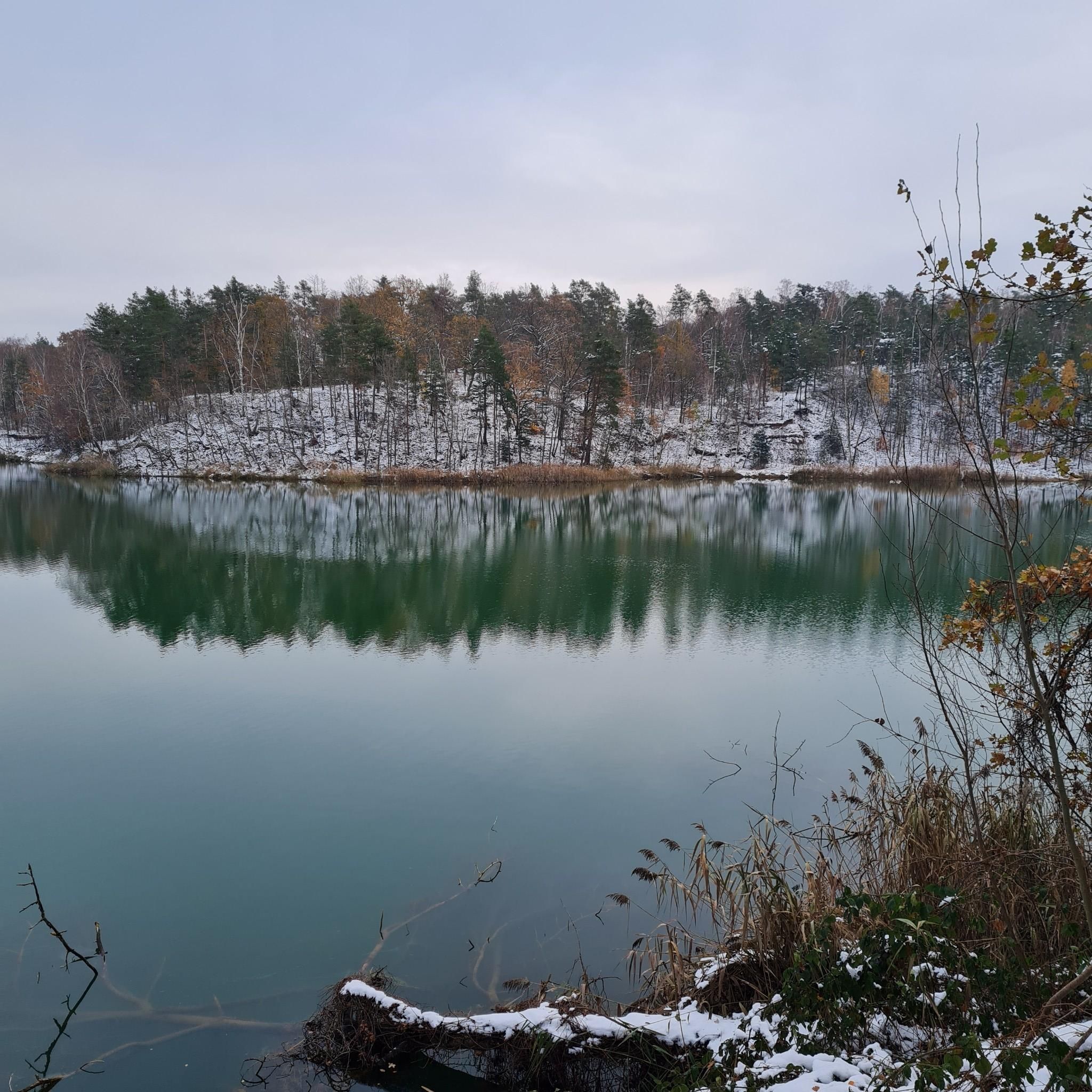
The Green Lake in Merzdorf. Information: Due to the growing overburden, clay extraction became increasingly difficult in the late 1950s, so the clay pit was flooded in the late 1960s, and the production of concrete elements began there simultaneously. The remaining body of water has a greenish hue and is therefore also known as the Green Lake. The "Agnes" and "Flora" clay pits were opened south of the village in 1892.
1
0
The Green Lake in Merzdorf. Information: Due to the growing overburden, clay extraction became increasingly difficult in the late 1950s, so the clay pit was flooded in the late 1960s, and the production of concrete elements began there simultaneously. The remaining body of water has a greenish hue and is therefore also known as the Green Lake. The "Agnes" and "Flora" clay pits were opened south of the village in 1892.
1
0
Pleasant paths along the Merzdorf circular trail, including those in the Pfeifholz forest. Info: An idyllic village in the Elbe-Elster region, Merzdorf offers numerous opportunities for hiking and walking. Its geographical location is particularly charming. Surrounded by rolling hills and picturesque forests, the landscape here is extremely diverse. The Pfeifholz (also called Pfeiffholz, Pfeife, or Frauenhainer Pfeife) is a wooded area on the northern border of the Free State of Saxony with the state of Brandenburg.
1
0

It's a bit more challenging to get there because there's a lot of sand. But it's still pretty.
0
0

It's funny how people are arguing today especially about the grammatical gender for the place name of the Waldsee, whether it's called the or the old shaft, instead of primarily emphasizing the beauty and relaxation of these remains of the "Helenen's shaft" ( :-). Although August Han actually wanted to find coal in 1855 and then came across clay, clay was finally mined and bricks made from it for more than 100 years.
0
0
The historic Strauch degree measurement column was part of the degree measurement and triangulation in the Kingdom of Saxony and thus part of land surveying. The Strauch station from 1866 still functioned as the center of the surveying station until 1959. The Nagelsche pillar is today a technical monument on Heideberg.
0
0
Frequently Asked Questions
How many hiking trails are available in Untere Pulsnitzniederung?
There are over 400 hiking trails in Untere Pulsnitzniederung, offering a wide range of options for different abilities and preferences. The majority are easy or moderate, with a few more challenging routes.
What are the typical difficulty levels for hikes in Untere Pulsnitzniederung?
The hiking trails in Untere Pulsnitzniederung are predominantly easy and moderate. You'll find over 240 easy routes perfect for relaxed strolls and around 150 moderate trails for those seeking a bit more challenge. There are also a few difficult routes for experienced hikers.
Are there family-friendly hiking options in Untere Pulsnitzniederung?
Yes, many of the easy routes in Untere Pulsnitzniederung are ideal for families. Trails like the Hiking loop from Merzdorf, which is 2.2 miles (3.6 km) long, offer gentle terrain suitable for all ages. The region's low hills and natural water features provide engaging scenery for children.
Are dogs allowed on the hiking trails in Untere Pulsnitzniederung?
Generally, dogs are welcome on the hiking trails in Untere Pulsnitzniederung, but it's always recommended to keep them on a leash, especially in nature reserve areas or when passing through agricultural land. This helps protect local wildlife and ensures a pleasant experience for everyone.
What kind of natural features or landmarks can I expect to see while hiking?
Untere Pulsnitzniederung is characterized by low hills, open meadows, and tranquil water features. Along the trails, you might encounter sights such as the Water buffalo in the Schraden lowlands, the Lower Pulsnitz lowlands nature reserve, or the Picnic Shelter and Observation Point Untere Pulsnitzniederung.
Are there any circular walks available in the region?
Yes, Untere Pulsnitzniederung offers several circular walks. An example is the Grüner See – Grüner See loop from Merzdorf, an easy 4.4-mile (7.1 km) route that takes you around the scenic Grüner See.
What do other hikers enjoy the most about hiking in Untere Pulsnitzniederung?
The area is highly rated by the komoot community, with an average score of 4.7 stars from over 1000 reviews. Hikers often praise the region's diverse landscape, including its low hills, open meadows, and natural water features, as well as the well-maintained network of trails suitable for various abilities.
What is the best time of year to go hiking in Untere Pulsnitzniederung?
The best time to hike in Untere Pulsnitzniederung is typically from spring to autumn. During these seasons, the weather is generally mild, and the landscape is vibrant. Spring brings blooming flora, while autumn offers beautiful foliage. Winter hiking is also possible, but some trails might be muddy or icy.
Are there any longer, more challenging hikes in the area?
While the region is known for its easy to moderate trails, there are options for longer hikes. The Grassy Meadow – Grüner See loop from Merzdorf is a moderate 7.6-mile (12.3 km) path that features open meadows and the Grüner See, offering a good distance for a day hike.
Is public transport available to reach trailheads in Untere Pulsnitzniederung?
Public transport options to reach specific trailheads in Untere Pulsnitzniederung can be limited. It's advisable to check local bus schedules or consider driving to access the starting points of many routes. Merzdorf is a common starting point for several popular trails.
Where can I find parking for hiking trails in Untere Pulsnitzniederung?
Many trailheads, especially around popular starting points like Merzdorf, offer designated parking areas. It's recommended to check specific route descriptions on komoot for details on parking availability near your chosen trail.
What kind of wildlife can I spot while hiking in Untere Pulsnitzniederung?
The diverse landscape of Untere Pulsnitzniederung, with its meadows, forests, and wetlands, supports various wildlife. Keep an eye out for local bird species, small mammals, and potentially the unique Water buffalo in the Schraden lowlands.
Most popular routes in Untere Pulsnitzniederung
Most popular attractions in Untere Pulsnitzniederung

Get inspired with the komoot mobile app


Explore more
Browse the best Hikes in other regions.
