The best MTB trails in Landschaftsschutzgebiet Römertal
4.6
(1225)
2,815
riders
520
rides
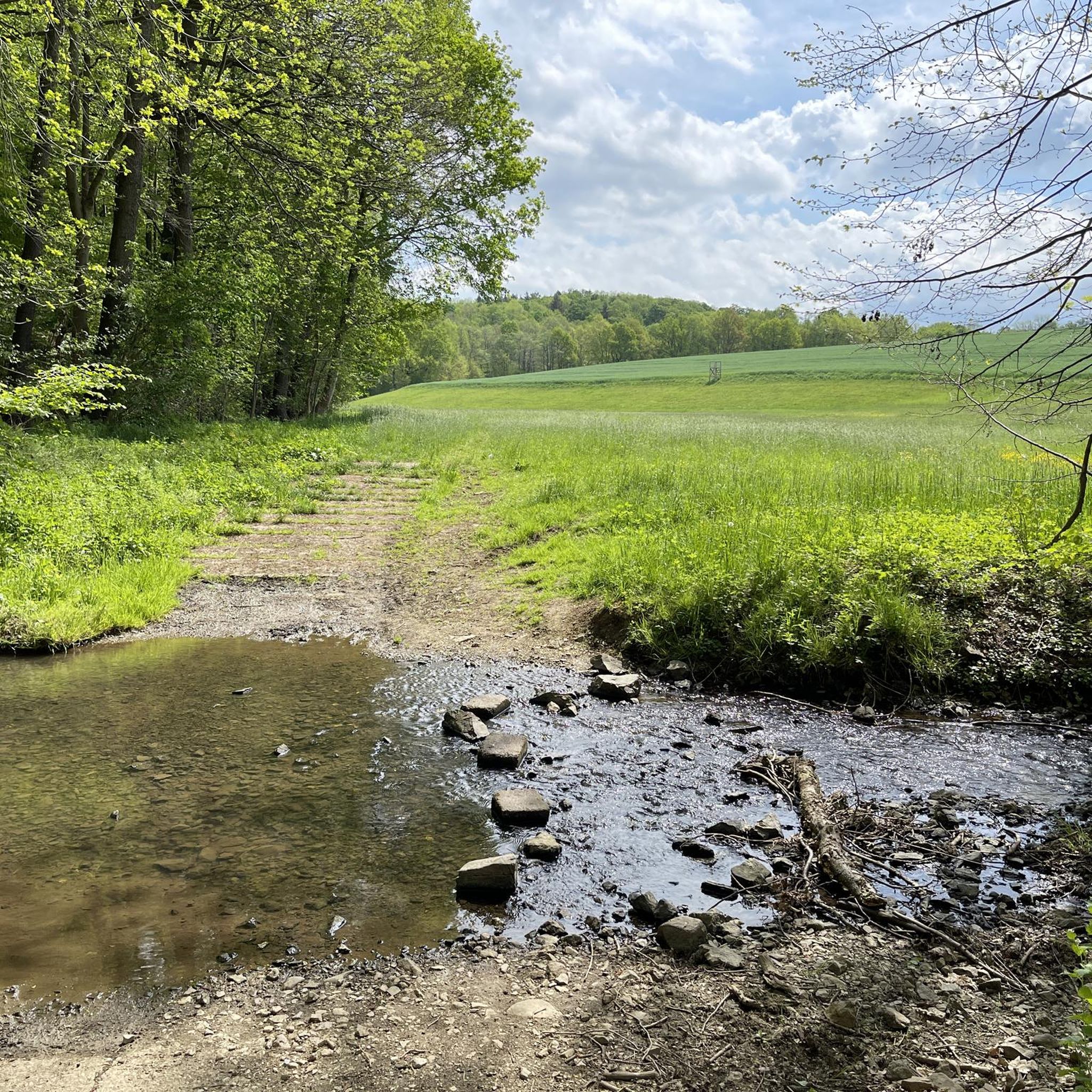
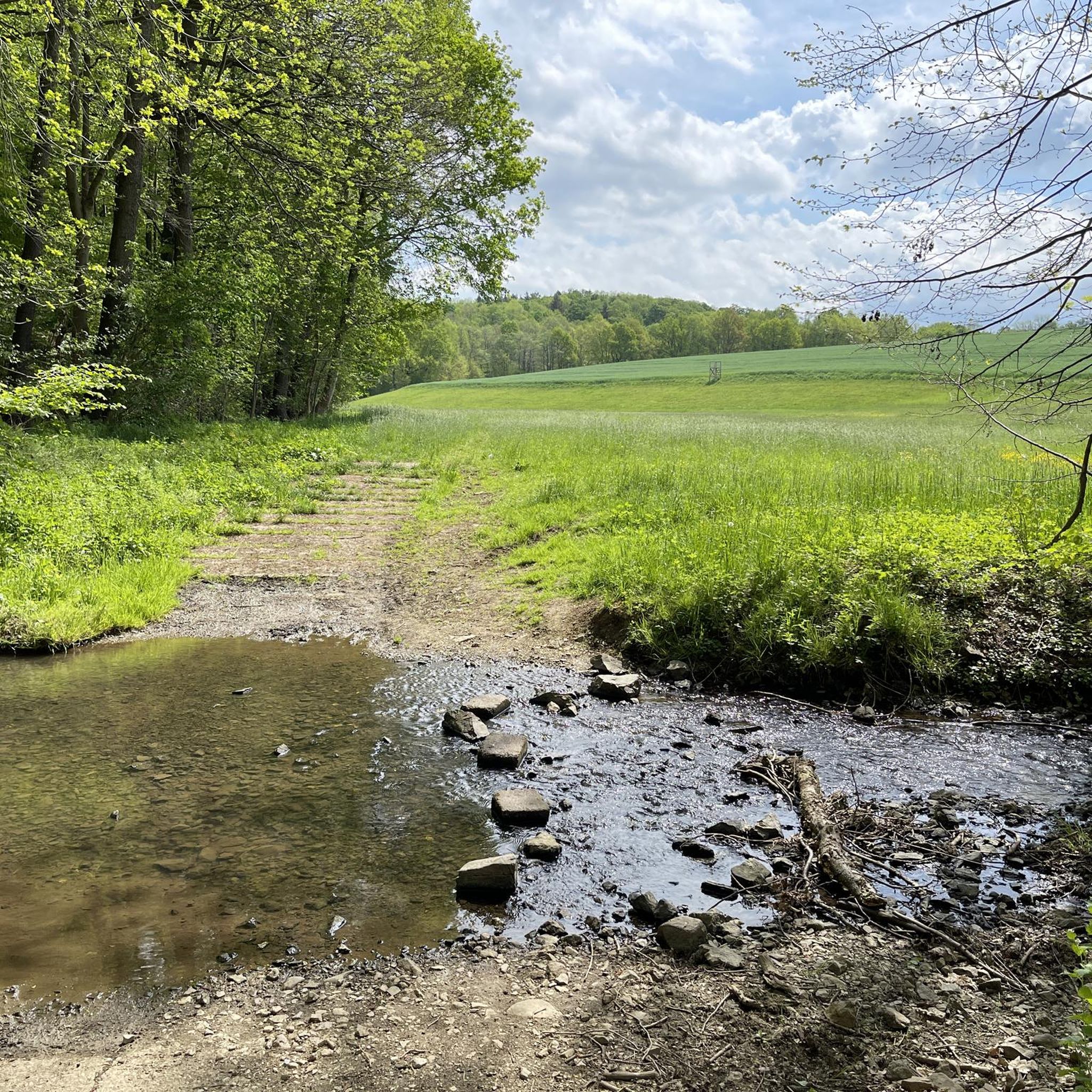
Mountain bike trails in Landschaftsschutzgebiet Römertal traverse a diverse landscape characterized by the floodplains of the Neumarker and Schönfelser Baches, flanked by slopes with copses and small forest sections. This protected area features varied woody structures and wet biotopes, contributing to its ecological significance within the European NATURA 2000 network. The terrain includes 8 named mountains, with Burgberg being the highest, offering varied elevation for mountain biking.
Best mountain bike trails in Landschaftsschutzgebiet Römertal
- The most popular mountain bike trail…
Last updated: July 9, 2026
4.8
(9)
21
riders
31.8km
01:58
270m
270m
Easy mountain bike ride. Great for any fitness level. Suitable for all skill levels.
4.8
(5)
19
riders
27.2km
01:30
130m
130m
Easy mountain bike ride. Great for any fitness level. Suitable for all skill levels.

Sign up for free
4.5
(2)
8
riders
30.5km
01:53
250m
250m
Moderate mountain bike ride. Great for any fitness level. Advanced riding skills necessary.
5.0
(6)
9
riders
31.9km
02:10
330m
330m
Moderate mountain bike ride. Good fitness required. Advanced riding skills necessary.
5.0
(1)
6
riders
25.9km
01:34
280m
280m
Easy mountain bike ride. Great for any fitness level. Suitable for all skill levels.
Get access to more routes and recommendations from other explorers.
Sign up for free
Already have an account?
Our route recommendations are based on thousands of hikes, rides, and runs completed by other people on komoot.
Start today with a free account
Your next adventure awaits.
Login or Signup

Tips from the Community

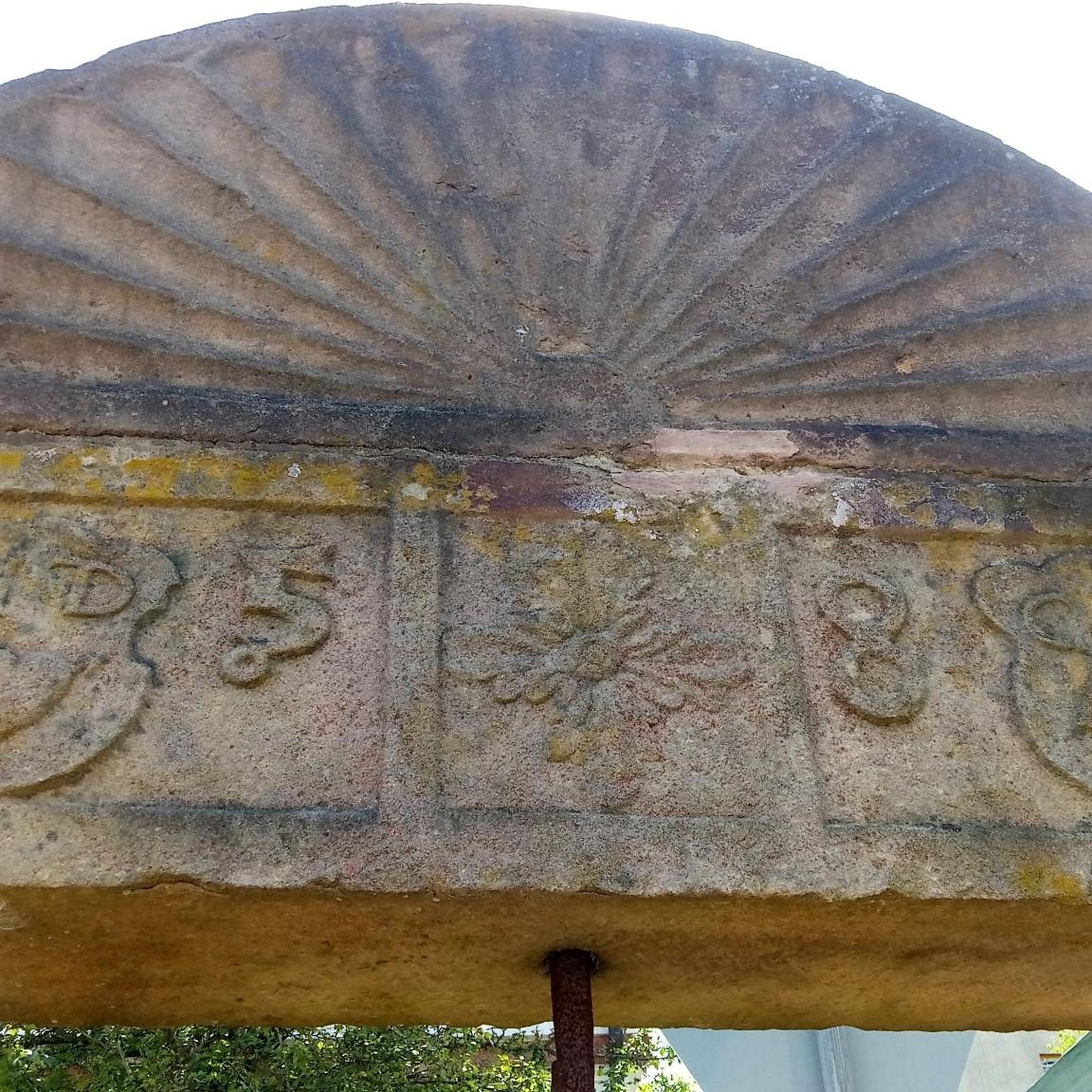
A postal column of Electorate Saxony, colloquially also called Saxon postal column or simply postal column, is a milestone that indicates distances and walking times with an accuracy of up to an eighth of an hour. The design of the stones varies depending on the distance - https://de.wikipedia.org/wiki/Kurs%C3%A4chsische_Postmeilens%C3%A4ule#Distanzs%C3%A4ule In this case, it is a distance column. Originally, they were supposed to stand in front of every city gate and indicate the courses in the respective directions. However, smaller towns were also allowed to place the column centrally in the market square. The corresponding sides then indicate the distances in the cardinal directions.
1
0

Test if the beer tastes as delicious
0
0

In Zwickau, the MuldeParadies, a unique leisure and recreation area, was created on top of the B 93 tunnel. It features children's playgrounds, numerous benches, and a barbecue area. https://www.zwickau.de/de/tourismus/freizeit/parks_gaerten/muldeparadies.php
0
0

On November 29, 2018, the Crimmitschau post milestone was inaugurated at its location on Silberstraße/Rathaus (town hall). The milestone, which had to be moved in 1875 due to heavy traffic, has thus reclaimed its place in the heart of Crimmitschau. Source: https://www.heimatverein-crimmitschau.de/bildarchiv/die-postmeilensaeule-crimmitschau
0
0

Great to ride and the paths are nicely made for cyclists 👍🏻
0
0

Beautiful bike path along the Mulde.🚴🏻♂️
5
0

Great route. But be careful, it's too often used as a hiking trail.
0
0

13 main openings, height 23 m. Construction was largely in the hands of local master builders. In 1844, Chief Engineer Robert Wilke from Freiberg took over management of the construction project on behalf of the Saxon Railway Company. Over 5 million hard-fired bricks were required for the Roman Valley Bridge alone, most of which came from Sebaldus Klemm's brickworks in Leubnitz. In 1845, the line's three viaducts (see also 4889) were completed. Although they are considered the smaller sisters of the Göltzsch Valley and Elster Valley Bridges, they are nevertheless of impressive dimensions.
12
0
Frequently Asked Questions
How many mountain bike trails are available in Landschaftsschutzgebiet Römertal?
There are over 500 mountain bike trails in Landschaftsschutzgebiet Römertal, offering a wide range of options for different skill levels and preferences. You'll find everything from easy loops to more challenging routes with varied elevation.
What kind of terrain can I expect when mountain biking in Landschaftsschutzgebiet Römertal?
The terrain in Landschaftsschutzgebiet Römertal is diverse, featuring the floodplains of the Neumarker and Schönfelser Baches, flanked by slopes with copses and small forest sections. You'll encounter varied woody structures and wet biotopes, with 8 named mountains, including Burgberg, providing elevation changes.
What are the difficulty levels of mountain bike trails in Landschaftsschutzgebiet Römertal?
Landschaftsschutzgebiet Römertal offers a good mix of difficulty levels. Approximately 155 trails are considered easy, 334 are moderate, and 37 are more difficult, ensuring there's a suitable route for most mountain bikers.
What do other mountain bikers enjoy most about the trails in Landschaftsschutzgebiet Römertal?
The mountain bike routes in Landschaftsschutzgebiet Römertal are highly rated by the komoot community, with an average score of 4.6 stars from over 1200 reviews. Riders often praise the diverse landscapes, from river floodplains to forested slopes, and the well-maintained paths that offer varied experiences.
Are there any circular mountain bike routes in Landschaftsschutzgebiet Römertal?
Yes, many mountain bike routes in Landschaftsschutzgebiet Römertal are designed as loops. For example, the Tuchmacherdamm – Crossen Weir loop from Steinpleis is an easy 19.8-mile (31.8 km) trail that explores river floodplains, and the Gondelteich – Schwarze Schüle loop from Schönfels is another easy 18.8-mile (30.2 km) option through diverse landscapes.
What landmarks or viewpoints can I see while mountain biking in Landschaftsschutzgebiet Römertal?
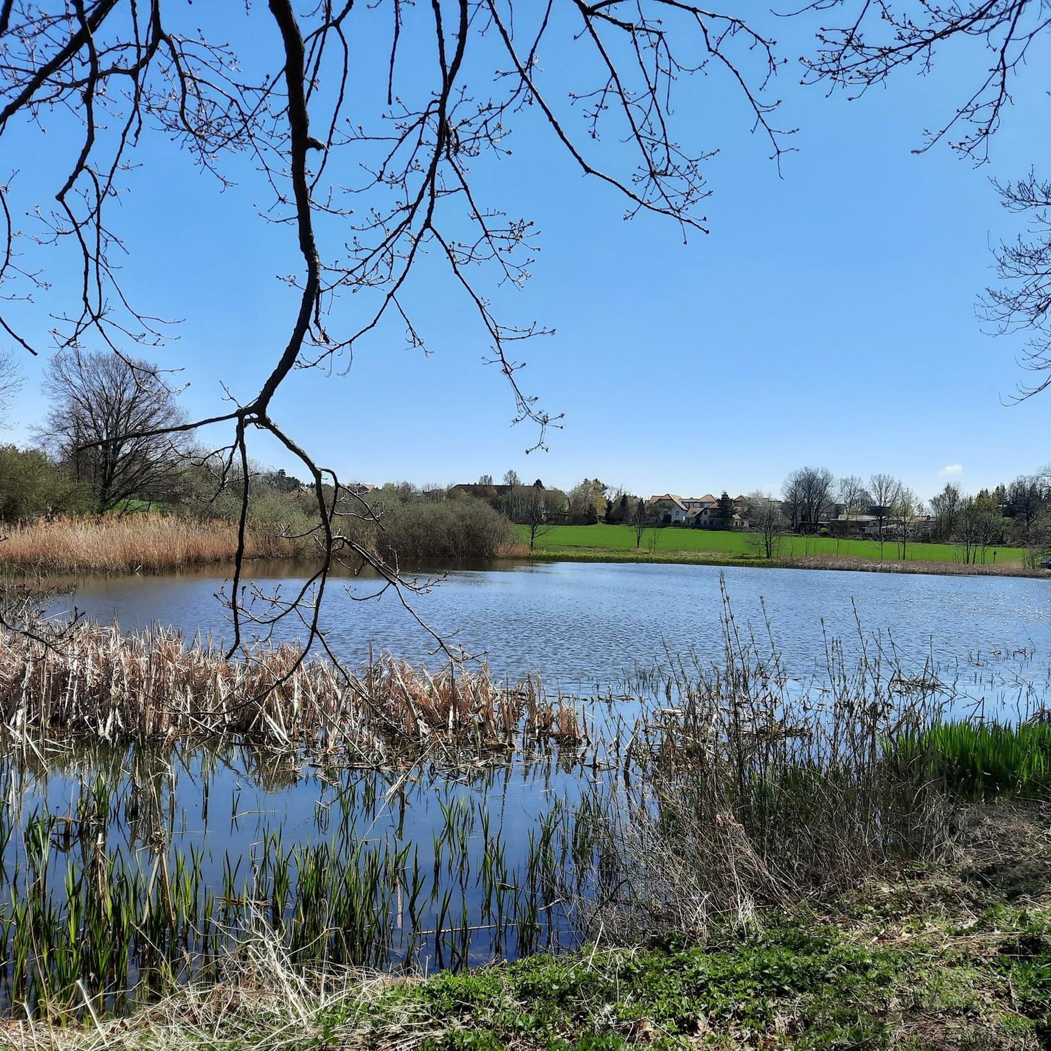
You can encounter several notable landmarks and natural features. The impressive Römertal Viaduct is a highlight, and you might pass by the scenic Zwirn Pond with its old oak trees. The historical Rußbuttensteig is also in the area, offering a glimpse into the region's past.
Can I mountain bike near Schönfels Castle?
Yes, you can. There are routes that offer views of the prominent Schönfels Castle. For instance, the View of Schönfels Castle – View of Zwickau-Marienthal loop from Schönfels is a moderate 20.1-mile (32.3 km) route that provides excellent vistas of the castle and surrounding areas.
Is the Römertal Viaduct accessible by mountain bike?
Absolutely. The Römertal Viaduct is a significant landmark in the region and is featured on several mountain bike routes. The Römertal Viaduct – Hofteich Frankenhausen loop from Steinpleis is a moderate 24.5-mile (39.5 km) path that passes directly by this impressive railway bridge.
Are there family-friendly mountain bike trails in Landschaftsschutzgebiet Römertal?
Yes, the region offers several easy mountain bike trails suitable for families. These routes typically feature gentler gradients and well-maintained surfaces, allowing for an enjoyable experience for riders of all ages. Look for trails marked as 'easy' in the komoot app for suitable options.
Are dogs allowed on the mountain bike trails in Landschaftsschutzgebiet Römertal?
Landschaftsschutzgebiet Römertal is a natural area, and generally, dogs are permitted on trails, often on a leash. However, it's always best to check local signage or specific trail regulations, especially in protected areas or near sensitive wildlife habitats, to ensure compliance.
What is the best time of year for mountain biking in Landschaftsschutzgebiet Römertal?
Spring and autumn are often considered the best times for mountain biking in Landschaftsschutzgebiet Römertal. In spring, you can enjoy the impressive array of spring flowers, such as blue-violet liverworts and wood anemones. Autumn offers pleasant temperatures and beautiful foliage. Summer can also be good, but be mindful of warmer temperatures and potential for more visitors.
Are there places to eat or stay near the mountain bike trails in Landschaftsschutzgebiet Römertal?
Yes, the towns and villages surrounding Landschaftsschutzgebiet Römertal, such as Werdau, Lichtentanne, Schönfels, and Neumark, offer various options for cafes, pubs, restaurants, and accommodation. You'll find places to refuel and rest after your ride.
Where can I park my car when mountain biking in Landschaftsschutzgebiet Römertal?
Parking is generally available in the towns and villages bordering Landschaftsschutzgebiet Römertal, such as Steinpleis, Schönfels, and other starting points for popular routes. Look for designated parking areas near trailheads or in village centers.
Most popular routes in Landschaftsschutzgebiet Römertal
Most popular attractions in Landschaftsschutzgebiet Römertal

Get inspired with the komoot mobile app


Explore more
Browse the best MTB trails in other regions.
