The best walks and hikes in Uhlstädter Heide
4.7
(7220)
25,093
hikers
1,353
hikes
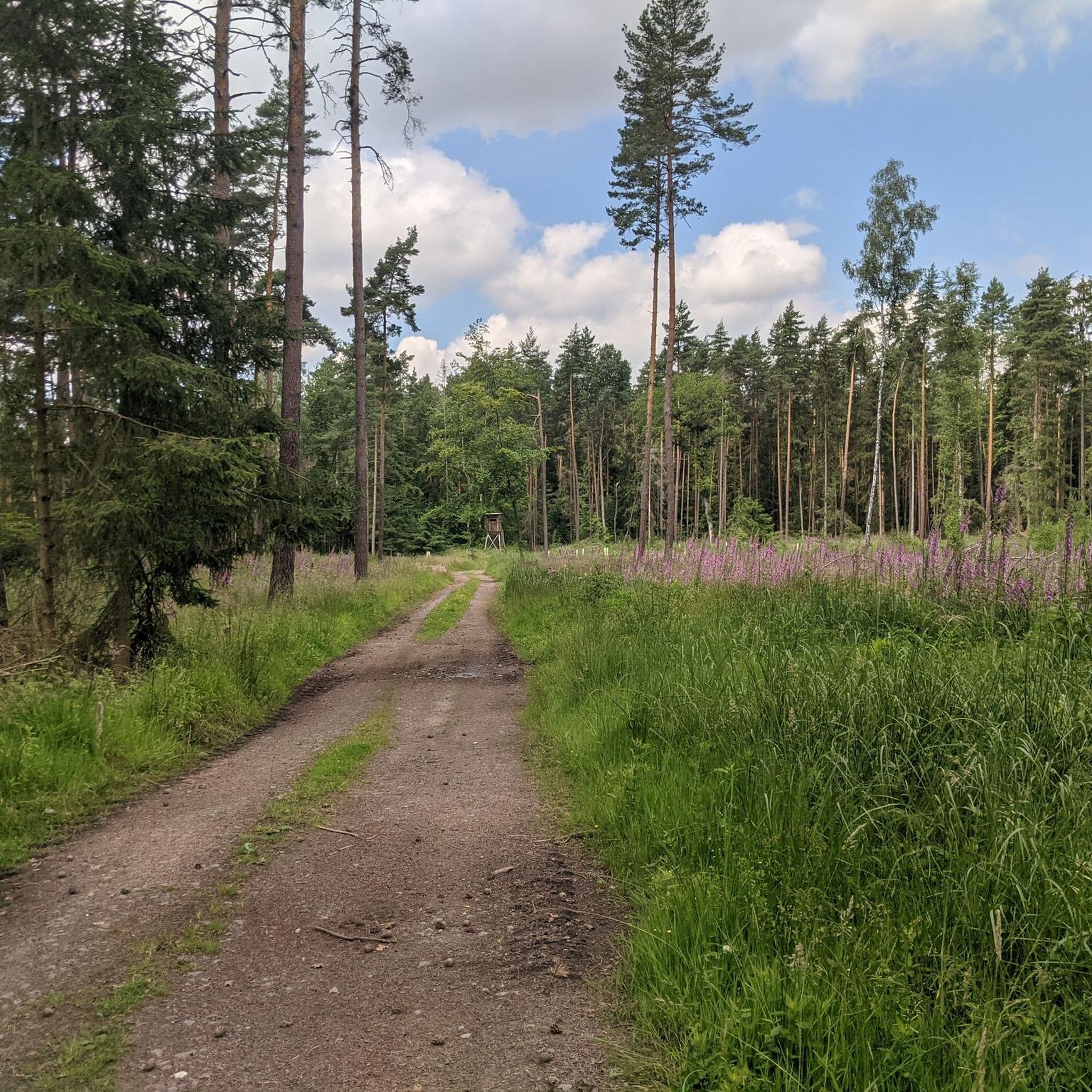
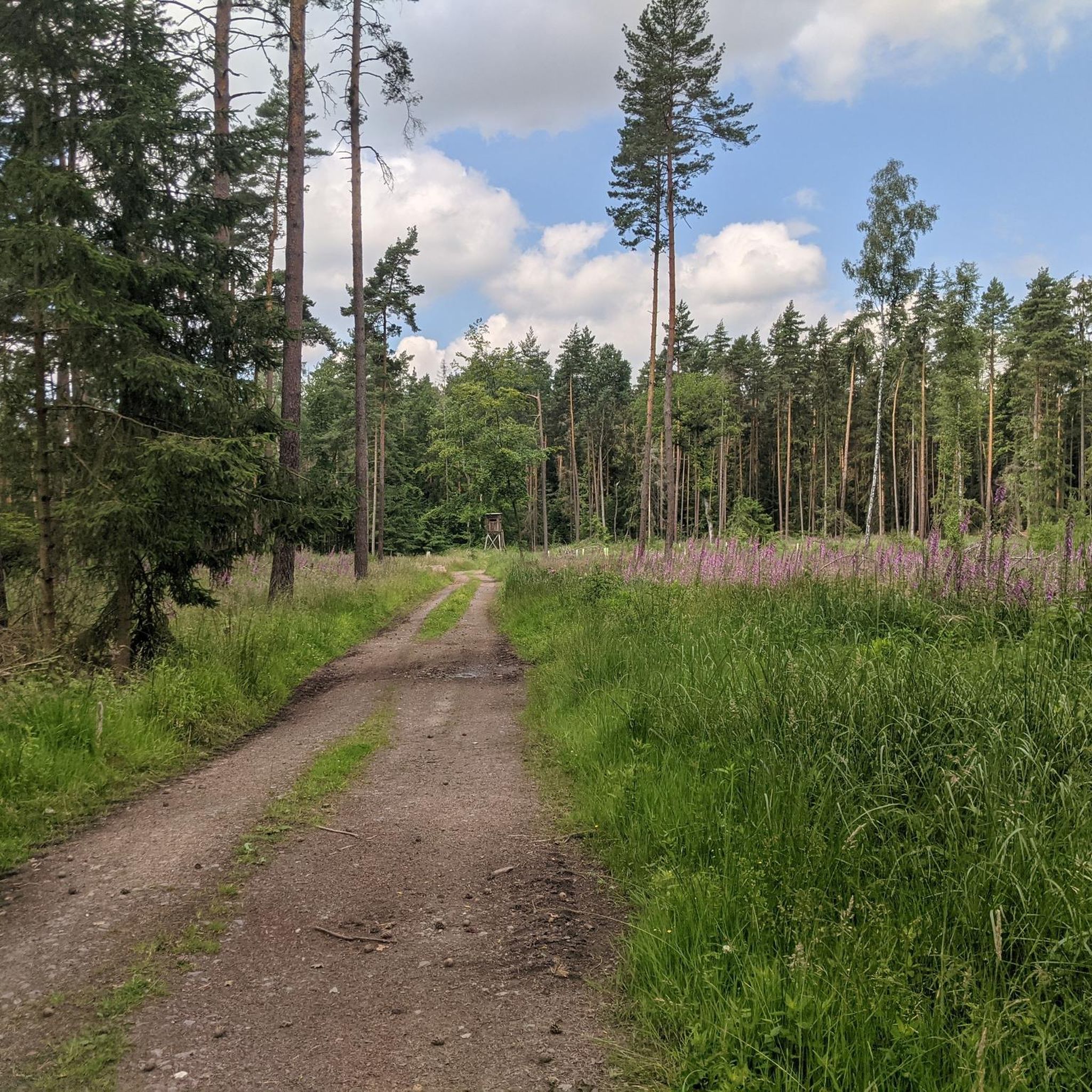
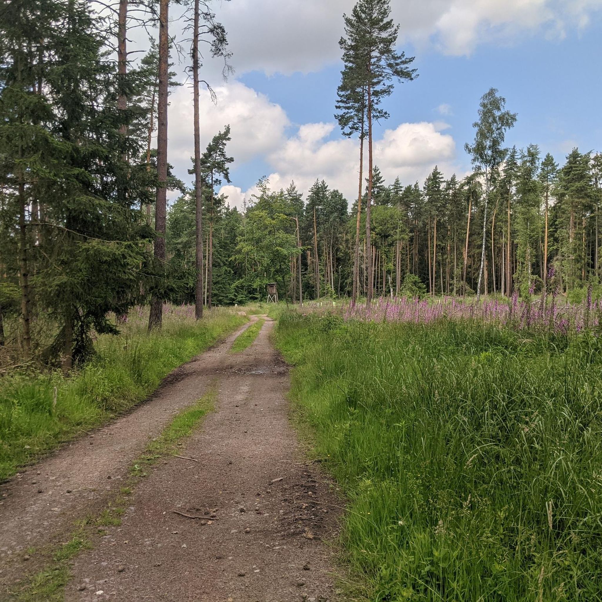
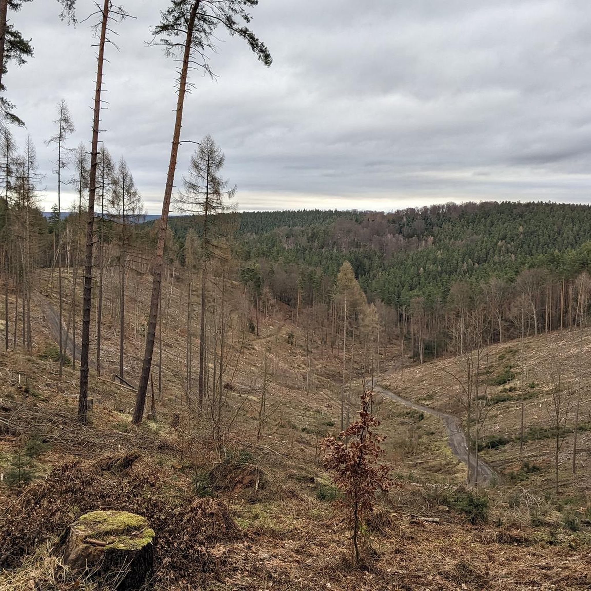
Hiking in Uhlstädter Heide offers diverse natural landscapes within the Saalfeld-Rudolstadt district of Thuringia, Germany. The region features varied terrain, including picturesque valleys, extensive wooded areas, and prominent elevations such as the 415-meter-high Teufelsberg. A significant portion of the area is designated as a nature reserve, providing a rich biodiversity and a well-maintained network of hiking trails. The highest point on some routes reaches 455 meters above sea level.
Best hiking trails in Uhlstädter Heide
- The most popular hiking route…
Last updated: July 8, 2026
4.0
(1)
10
hikers
12.0km
03:23
250m
250m
Moderate hike. Good fitness required. Easily-accessible paths. Suitable for all skill levels.
5.0
(1)
6
hikers
13.9km
03:48
220m
220m
Moderate hike. Good fitness required. Easily-accessible paths. Suitable for all skill levels.

Sign up for free
4.0
(2)
6
hikers
7.77km
02:10
150m
150m
Moderate hike. Good fitness required. Easily-accessible paths. Suitable for all skill levels.
7
hikers
7.70km
02:09
150m
160m
Moderate hike. Good fitness required. Easily-accessible paths. Suitable for all skill levels.
3
hikers
8.68km
02:27
180m
180m
Moderate hike. Good fitness required. Easily-accessible paths. Suitable for all skill levels.
Get access to more routes and recommendations from other explorers.
Sign up for free
Already have an account?
Our route recommendations are based on thousands of hikes, rides, and runs completed by other people on komoot.
Start today with a free account
Your next adventure awaits.
Login or Signup
Tips from the Community

Very beautiful old signpost. Has something mystical.
0
0

Three pine trees here you find the tour's stamp point No. 420♟️
0
0

Collecting stamps is a bit addictive ;-)
0
0
A beautiful destination for a day trip and a very nice place to rest.
0
0

The Frauentafel (Women's Table) is a legendary rest stop at a fork in the path. It's a prominent point on the circular hiking trail. Near the historical border between Saxe-Altenburg and Saxe-Meiningen. 😄 🙋♂️
1
0
Memorial stone commemorating the end of the war.
1
0
A quaint stone; upon closer inspection, one can see clues pointing to paths leading to Birgit and Weißbach. 😄
1
0
A sign of a once mighty oak tree on whose strong branches criminals were hanged.
1
0
Frequently Asked Questions
What kind of terrain can I expect when hiking in Uhlstädter Heide?
Uhlstädter Heide offers a diverse landscape characterized by picturesque valleys, extensive wooded areas, and prominent elevations. You'll find varied terrain, from leisurely strolls through forests to more challenging routes with significant elevation changes, such as the 415-meter-high Teufelsberg. The highest point on some trails reaches 455 meters above sea level at the Johannishut.
Are there hiking options for beginners or those looking for easy walks?
Yes, Uhlstädter Heide features a well-developed network of trails suitable for various fitness levels. You can find numerous easy walks, typically up to 2 hours with minimal elevation gain. For example, the Forest Church near Lichte – Kirchtal loop from Uhlstädter Heide is an easy 5.7 km route.
How long do hikes typically take in Uhlstädter Heide?
Hikes in Uhlstädter Heide vary widely in duration. You can find short walks taking less than an hour, while moderate routes might take up to 5 hours. More demanding trails can extend beyond 5 hours. For instance, the popular Sandy Birch – Hanging Oak loop from Uhlstädter Heide typically takes around 3 hours 23 minutes to complete.
Are there many circular hiking routes available?
Yes, many of the trails in Uhlstädter Heide are designed as circular routes, allowing you to start and end at the same point. This includes popular options like the Waldhaus Picnic Area – Forest house and playground in the woods loop from Friedebach and the View of Am Breiten Stein – Pflasterhügel loop from Uhlstädter Heide.
What interesting landmarks or natural features can I discover along the trails?
Uhlstädter Heide is rich in historical and natural points of interest. You can explore the remarkably preserved Forest Church near Lichte, or visit the historic Hangeiche (Gallows Oak) on the Schustersteig trail. The area also features the Krötenpfütze Pond and the Pfaffensteig Trail, known for its flowing paths.
Are there any specific viewpoints offering panoramic views?
Yes, the hilly terrain of Uhlstädter Heide provides several opportunities for panoramic views. Elevations like the Teufelsberg (Devil's Mountain) and the Johannishut, which is the highest point on some routes, offer expansive vistas over the surrounding natural landscapes and wooded areas.
Is Uhlstädter Heide accessible by public transport?
While the region is primarily accessed by car, some starting points for trails might be reachable via local bus services or train stations in nearby towns like Uhlstädt or Rudolstadt. It's advisable to check local public transport schedules for specific connections to trailheads.
Are there parking facilities available for hikers?
Yes, many popular trailheads and access points in Uhlstädter Heide offer designated parking areas for hikers. These are typically well-marked and provide convenient starting points for exploring the extensive trail network.
Can I find places to rest or picnic along the hiking trails?
Absolutely. The trails in Uhlstädter Heide are generally well-maintained and equipped with numerous benches and shelters for resting. You might also encounter old forest houses or dedicated picnic areas, such as the one featured on the Waldhaus Picnic Area – Forest house and playground in the woods loop from Friedebach, providing comfortable spots for a break.
Are the hiking trails in Uhlstädter Heide suitable for families with children?
Many trails in Uhlstädter Heide are suitable for families, especially the easier and moderate routes that wind through forests and offer points of interest. The presence of picnic areas and shelters makes it convenient for family outings. Look for shorter, less strenuous loops for younger children.
Can I bring my dog on the hiking trails?
Generally, dogs are welcome on the hiking trails in Uhlstädter Heide. As it is a nature reserve, it's important to keep dogs on a leash, especially to protect local wildlife and ensure a pleasant experience for all hikers. Always remember to clean up after your pet.
What is the best time of year to go hiking in Uhlstädter Heide?
Uhlstädter Heide is beautiful year-round, but spring and autumn are particularly popular for hiking due to pleasant temperatures and vibrant natural colors. Spring brings blooming flora, while autumn offers stunning foliage. Summer is also great, with the dense woodlands providing shade. Even in winter, with appropriate gear, the trails can offer a serene experience.
What do other hikers appreciate most about Uhlstädter Heide?
The komoot community highly rates Uhlstädter Heide, with an average score of 4.7 stars from over 6,900 reviews. Hikers often praise the diverse natural landscapes, the well-maintained and clearly signposted trails, and the tranquil environment of the nature reserve. The variety of routes, from easy walks to more challenging hikes, is also frequently highlighted.
Most popular routes in Uhlstädter Heide
Most popular attractions in Uhlstädter Heide

Get inspired with the komoot mobile app


Explore more
Browse the best Hikes in other regions.
