The best road cycling routes in Steinbach
4.7
(170)
1,152
riders
42
rides
Road cycling routes in Steinbach offer access to flat terrain and expansive prairie views, characteristic of the broader Manitoba region. The area features serene farmlands and forest trails, providing varied natural experiences for cyclists. Steinbach's commitment to active transportation includes over 55 kilometers of pathways within the city, enhancing the cycling environment. The landscape provides a mix of open roads and naturalized environments, suitable for diverse road cycling preferences.
Best road cycling routes in Steinbach
- The most popular road cycling…
Last updated: July 10, 2026
5.0
(1)
6
riders
Moderate road ride. Good fitness required. Some segments of this route may be unpaved and difficult to ride.
5
riders
66.3km
03:22
1,090m
1,090m
Hard road ride. Very good fitness required. Mostly well-paved surfaces and easy to ride.

Sign up for free
5.0
(1)
5
riders
Moderate road ride. Good fitness required. Mostly well-paved surfaces and easy to ride.
9
riders
32.9km
01:35
480m
480m
Moderate road ride. Good fitness required. Some segments of this route may be unpaved and difficult to ride.
4.8
(6)
45
riders
Moderate road ride. Good fitness required. Mostly well-paved surfaces and easy to ride.
Get access to more routes and recommendations from other explorers.
Sign up for free
Already have an account?
Our route recommendations are based on thousands of hikes, rides, and runs completed by other people on komoot.
Start today with a free account
Your next adventure awaits.
Login or Signup
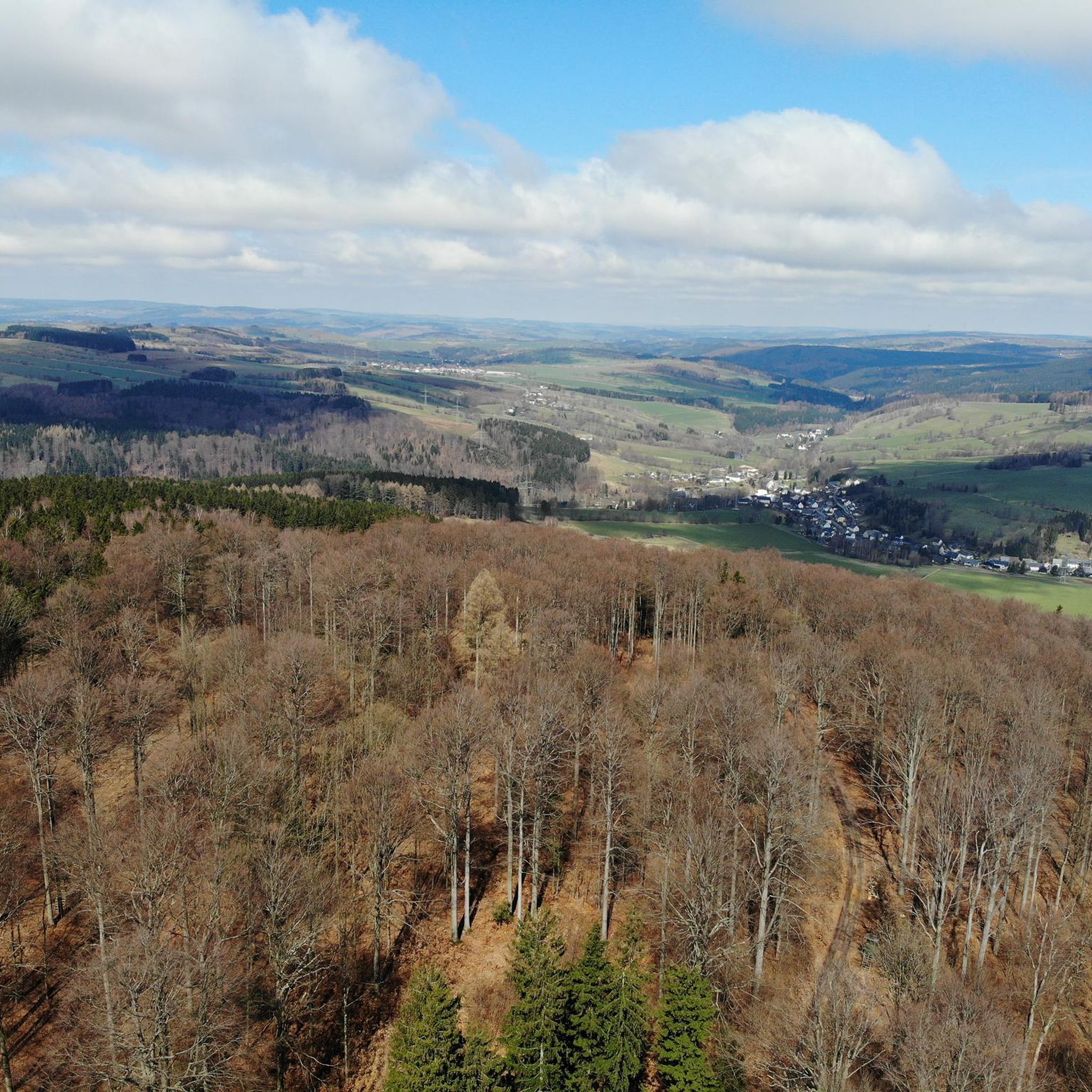
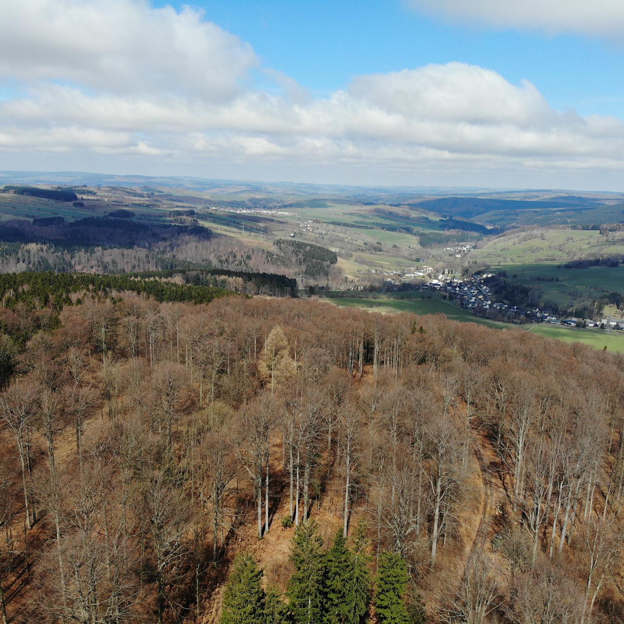
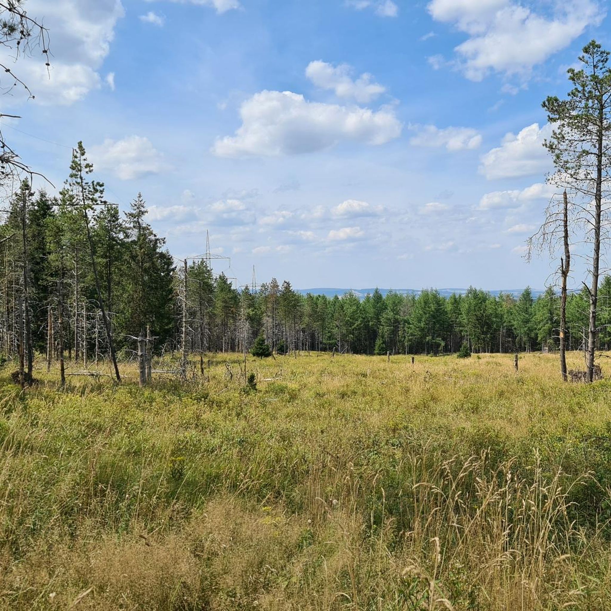
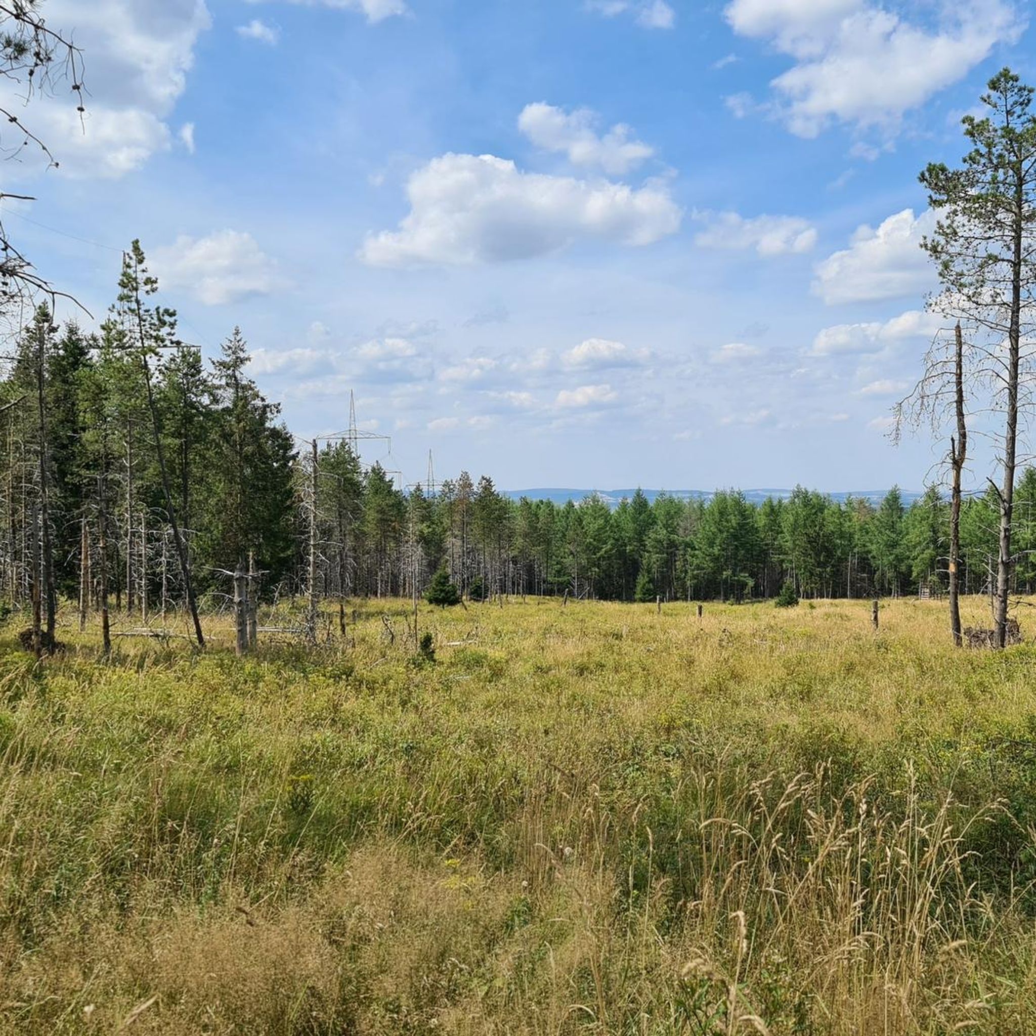
Tips from the Community

a very nice corner
0
1

Free parking, perfect as a starting point for hikes!
1
0

One of the most beautiful sections of the Stoneman Miriquidi Road: a quiet, flat stretch, hardly any traffic, and warm autumnal air. The alternating light and shade make the ride a pleasure—a section that simply stays with you.
2
0
A small but beautiful section on the Stoneman Miriquidi Road: The S216 between Kühnhaide and Rübenau is quiet, ideal for rolling and taking a breather.
0
0
With every step, closer to the summit – the Fichtelberg climb on the Stoneman Miriquidi Road. From the intersection, it's not far anymore, and motivation gets a final boost.
1
0

The first weather observer on this summit was the innkeeper of the Fichtelberghaus. He recorded his weather observations from 1890 onwards, but from 1898 onwards only intermittently, and from 1910 onwards not at all. The head of the Royal Saxon State Meteorological Observatory, Paul Schreiber, suggested the construction of a permanent weather observatory. Temperature, wind speed, and precipitation amounts have been continuously recorded here since January 1, 1916. The strongest storm recorded here was on January 3, 1976, with a peak gust speed of 216 kilometers per hour. The coldest day on the summit was February 9, 1956, with minus 30.4 degrees Celsius; the warmest was July 27, 1983, with plus 30.8 degrees Celsius. The highest snow cover was measured in March 1944: 3.35 meters. The year 1951 was bad for Fichtelberg tourists: it held the record for foggy days with 315.
13
1

If you're doing the Stoneman, this is your first short detour to the Czech Republic. The EU makes it easy 🇪🇺🙂
0
0
Frequently Asked Questions
How many road cycling routes are available in Steinbach?
Steinbach offers a good selection of road cycling routes, with over 45 routes available for exploration. These routes cater to various preferences, from shorter city loops to longer excursions through the surrounding landscapes.
What is the typical terrain like for road cycling in Steinbach?
Road cycling in Steinbach is characterized by generally flat terrain and expansive prairie views, which is ideal for road cycling. You'll often find routes traversing serene farmlands and forest trails, providing a varied and immersive natural experience with minimal elevation gain.
Are there any scenic viewpoints or natural features to see while cycling in Steinbach?
Yes, road cycling routes in Steinbach often feature expansive prairie views and serene farmlands. Some pathways wind through 'the bush,' offering forest trails. While not directly on a cycling route, the nearby Rosenthal Nature Park showcases wetland and upland ecosystems, which cyclists passing by might appreciate for its natural beauty.
Can I find family-friendly road cycling routes in Steinbach?
Steinbach's extensive pathway network, with over 55 kilometers of sidewalks and pathways within the city, provides excellent options for family-friendly cycling. The generally flat terrain also makes many routes accessible for various skill levels, including beginners.
What is the best time of year for road cycling in Steinbach?
The best time for road cycling in Steinbach is typically during the warmer months, from spring through fall, when the weather is mild and the prairie and farmland landscapes are in full bloom. This allows for comfortable riding conditions and the best enjoyment of the scenic routes.
Are there circular road cycling routes available in Steinbach?
Yes, many of the road cycling routes in Steinbach are designed as loops. For example, the Fichtelberg Weather Station – Fichtelberg Ascent loop from Oberschmiedeberg is a notable circular route, as are others that connect Steinbach with nearby towns like Giroux and Ste. Anne.
Where can I find parking for road cycling routes in Steinbach?
Steinbach has an extensive pathway network and promotes cycling through its Active Transportation Route program. While specific parking for every trailhead isn't detailed, public parks like A.D. Penner Park, which offers various outdoor activity options, can serve as starting points with available parking.
Are there options for more challenging road cycling routes in Steinbach?
While the region is generally flat, some routes offer more challenge. For instance, the Fichtelberg Weather Station – Fichtelberg Ascent loop from Oberschmiedeberg is classified as difficult, featuring significant elevation gain over its 66.1 km distance. Another moderate option with a challenging ascent is the Ascent to Hirtstein – Czech Republic Border Crossing loop from Oberschmiedeberg.
What do other cyclists say about road cycling in Steinbach?
The road cycling routes in Steinbach are highly rated by the komoot community, with an average score of 4.8 stars from over 80 reviews. Cyclists often praise the varied terrain, which includes flat prairie views, farmlands, and forest trails, making for an enjoyable experience.
Are there any cafes or places to stop for refreshments along the routes?
Steinbach, as a city, offers various amenities including cafes and shops where cyclists can stop for refreshments. While specific establishments along rural routes are not detailed, routes that pass through or near the city center or neighboring towns will provide opportunities for breaks.
Are there any easy road cycling routes suitable for beginners in Steinbach?
Yes, Steinbach offers several easy road cycling routes, with 4 routes specifically classified as easy. The city's 55 kilometers of pathways and generally flat terrain make it a welcoming area for beginners to enjoy road cycling.
Is public transport an option to reach road cycling routes in Steinbach?
Steinbach's focus on active transportation includes an extensive pathway network within the city. While specific public transport options for reaching trailheads are not detailed, the city's infrastructure supports cycling as a primary mode of transport, making it accessible to start rides from various points within Steinbach.
Are road cycling routes in Steinbach generally paved?
Yes, many of the established road cycling routes in and around Steinbach, particularly those listed on platforms like Bikemap, are designated for road cycling and feature mostly paved surfaces. This ensures a smooth and enjoyable experience for road cyclists.
Most popular routes in Steinbach

Get inspired with the komoot mobile app


Explore more
Browse the best Road cycling routes in other regions.
