The best cycling routes in Wildschutzgebiet Riedlhäng
4.6
(768)
4,611
riders
203
rides
Touring cycling in Wildschutzgebiet Riedlhäng offers diverse landscapes within the Bavarian Forest National Park. The region is characterized by dense forests, rushing streams, and opportunities for panoramic views. An extensive network of well-marked cycle paths caters to various abilities, from leisurely rides to more challenging routes with significant elevation gains.
Best touring cycling routes in Wildschutzgebiet Riedlhäng
- The most popular touring cycling route is National Park Cycle Trail, an 18.3 miles (29.4 km) trail that takes 2 hours 27…
Last updated: July 10, 2026
4.8
(17)
58
riders
29.4km
02:27
550m
550m
This difficult 18.3-mile touring cycle trail in Bavarian Forest National Park offers challenging climbs and scenic views.
4.6
(54)
199
riders
22.3km
02:15
600m
590m
Hard bike ride. Very good fitness required. You may need to push your bike for some segments of this route.

Sign up for free
5.0
(4)
31
riders
11.7km
00:42
110m
100m
Easy bike ride. Great for any fitness level. Mostly paved surfaces. Suitable for all skill levels.
5.0
(4)
22
riders
64.3km
04:45
1,080m
1,080m
Hard bike ride. Very good fitness required. Mostly paved surfaces. Suitable for all skill levels.
4.5
(2)
11
riders
22.2km
01:40
410m
410m
Moderate bike ride. Good fitness required. Mostly paved surfaces. Suitable for all skill levels.
Get access to more routes and recommendations from other explorers.
Sign up for free
Already have an account?
Our route recommendations are based on thousands of hikes, rides, and runs completed by other people on komoot.
Start today with a free account
Your next adventure awaits.
Login or Signup
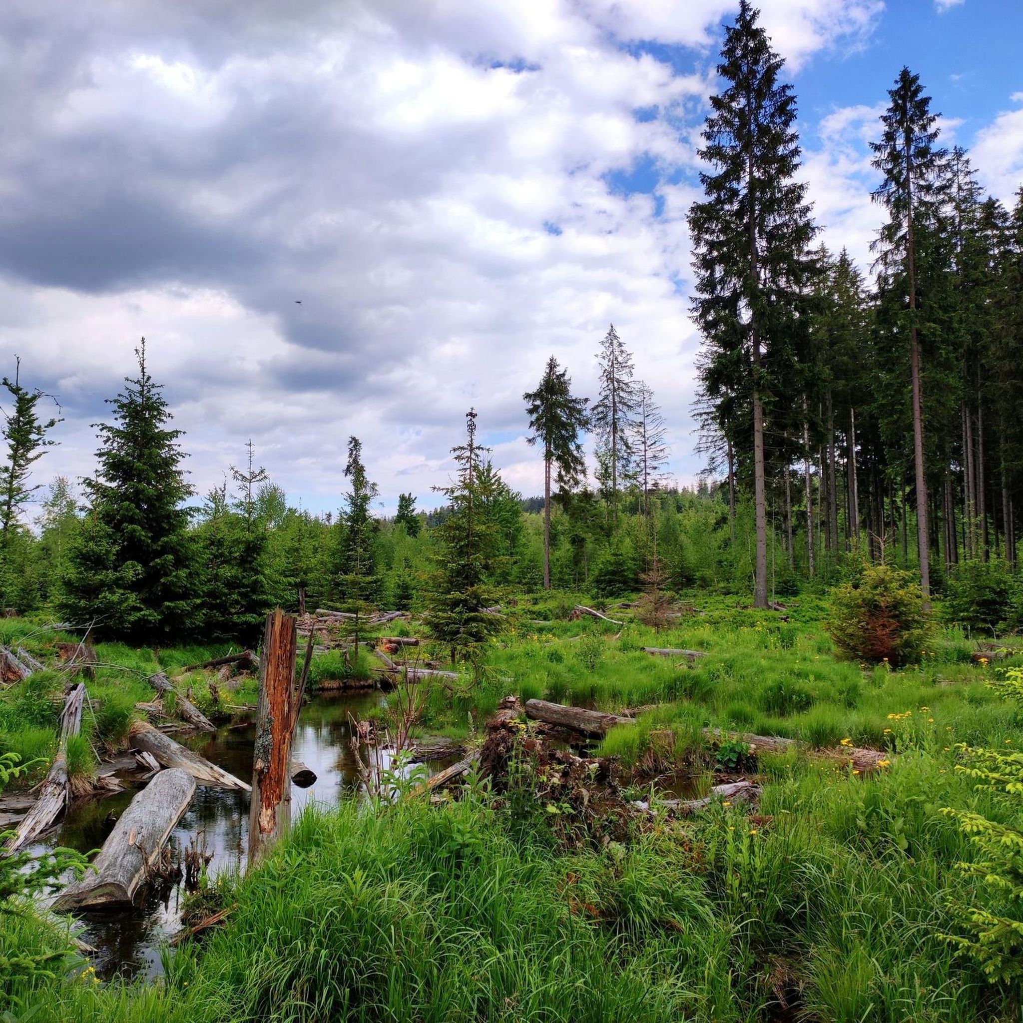
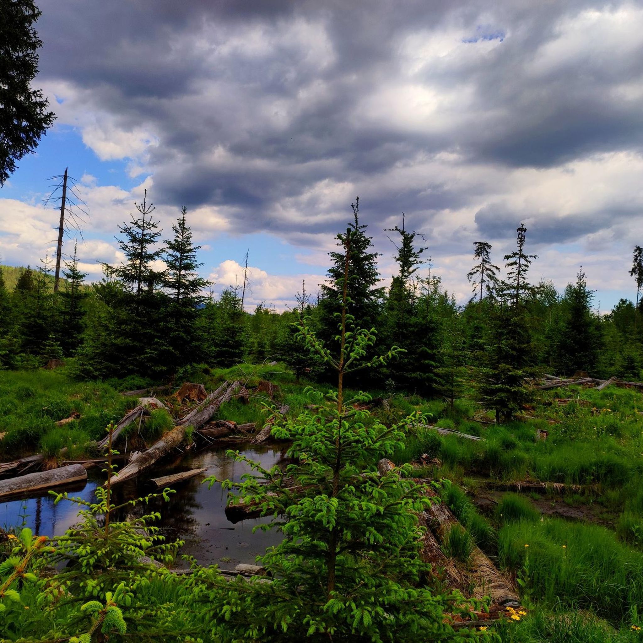

Tips from the Community

https://www.mitterdorf.info/ The longest Flyline in the world With the Flyline at Almberg, you'll experience summer from a new perspective: At almost 2,000 meters long, you'll glide gently and almost silently through the forest. A centrifugal brake trolley, which glides along a stainless steel tube support system between the trees, allows for a safe and controlled descent. With a speed of up to 12 km/h and a ride time of around 15 minutes, the focus is on enjoying nature, not on thrills. The facility is completely barrier-free and therefore ideally suited for people with disabilities and, of course, for children. For better planning and organization, we ask wheelchair users to register one day in advance. As part of the new summer offering at Almberg, it makes Mitterdorf an attractive year-round destination. Terms of use: Minimum height: 1.20 | Weight range: 20 kg – 120 kg
0
0

Here the panorama opens up far across the Bavarian Forest. A perfect moment for a photo and a few deep breaths before you get back on your bike.
0
0

beautiful wooden bridge at the hiking parking lot
0
0
You can't get a better autumn panorama in one picture 😍
0
0

In winter, Bavarian Forest trail
0
0
In winter, Bavarian Forest trail
0
0

From here you have a great view of the Bohemian Forest.
0
0

Frequently Asked Questions
How many touring cycling routes are available in Wildschutzgebiet Riedlhäng?
Wildschutzgebiet Riedlhäng offers a comprehensive network of over 200 touring cycling routes. These routes cater to various preferences, with options ranging from easy to difficult, ensuring there's a suitable path for every cyclist.
What kind of terrain can I expect on touring cycling routes in Wildschutzgebiet Riedlhäng?
You can expect diverse landscapes, including dense, verdant forests, picturesque rushing streams, and opportunities for impressive panoramic views. While some paths are relatively flat, many routes feature significant elevation gains, offering a good challenge and rewarding vistas.
Are there any easy touring cycling routes suitable for beginners or leisurely rides?
Yes, Wildschutzgebiet Riedlhäng offers 12 easy touring cycling routes, perfect for beginners or those seeking a more relaxed ride. These paths allow you to enjoy the natural beauty without overly strenuous climbs.
What natural features or landmarks can I see while cycling in Wildschutzgebiet Riedlhäng?
While cycling, you can encounter several notable natural features. Consider visiting the Steinbachklause Pond and Shelter for a romantic lake setting, or the Steinbachtal Wetlands and Beaver Dams (note seasonal access restrictions). The Sandriegel Rest Area also provides a convenient stop with access to other trails.
Are there any circular touring cycling routes in the region?
Yes, there are several circular routes available. For example, the Bučina Border Crossing – Church of Mitterfirmiansreut loop from Mauth offers an extensive ride, or the Schwarzbach Stream – Hammerklause Pond loop from Mauth provides a moderate option through scenic landscapes.
What do other touring cyclists enjoy most about cycling in Wildschutzgebiet Riedlhäng?
The area is highly rated by the komoot community, with an average score of 4.7 stars from over 710 reviews. Cyclists often praise the region's dense forests, rushing streams, and the opportunities for panoramic views, highlighting the immersive natural experience and well-maintained paths.
Are there long-distance touring routes that pass through Wildschutzgebiet Riedlhäng?
Yes, for more ambitious touring cyclists, longer routes like the Trans Bayerwald offer an extensive experience, covering around 700 kilometers with both moderate and challenging sections. The region also facilitates cross-border cycling into the neighboring Czech Šumava National Park.
Is Wildschutzgebiet Riedlhäng suitable for family-friendly touring cycling?
While the guide data doesn't explicitly list 'family-friendly' routes, the presence of 12 easy routes suggests there are options suitable for families or those with less cycling experience. These easier paths often feature less challenging terrain and elevation.
What are the options for parking when accessing touring cycling routes in Wildschutzgebiet Riedlhäng?
While specific parking locations are not detailed, the extensive network of cycle paths within the Bavarian Forest National Park generally includes designated parking areas at trailheads or popular access points. It's advisable to check local signage upon arrival.
Can I use public transport to reach the cycling routes in Wildschutzgebiet Riedlhäng, and can I bring my bike?
The Bavarian Forest National Park, where Wildschutzgebiet Riedlhäng is located, often provides public transport options. Many regional buses and trains are equipped to transport bicycles, especially during peak seasons. It's recommended to check the specific public transport provider's website for their bike transport policies and schedules.
What is the best time of year for touring cycling in Wildschutzgebiet Riedlhäng?
The region is best enjoyed for touring cycling during the warmer months, typically from spring through autumn. During these seasons, the weather is more favorable, and the dense forests provide pleasant shade. Winter cycling options might be limited due to snow and ice.
Are there any specific routes that offer a good challenge for experienced touring cyclists?
Experienced touring cyclists will find plenty of challenging options, with 104 difficult routes available. Routes like the National Park Cycle Trail and the Almberg – Almberg Summit Cross loop from Mauth feature significant elevation gains and varied terrain, providing a demanding yet rewarding experience.
Most popular routes in Wildschutzgebiet Riedlhäng
Most popular attractions in Wildschutzgebiet Riedlhäng

Get inspired with the komoot mobile app


Explore more
Browse the best Cycling routes in other regions.
