The best running trails in Unterer Inn
4.3
(285)
5,840
runners
569
runs
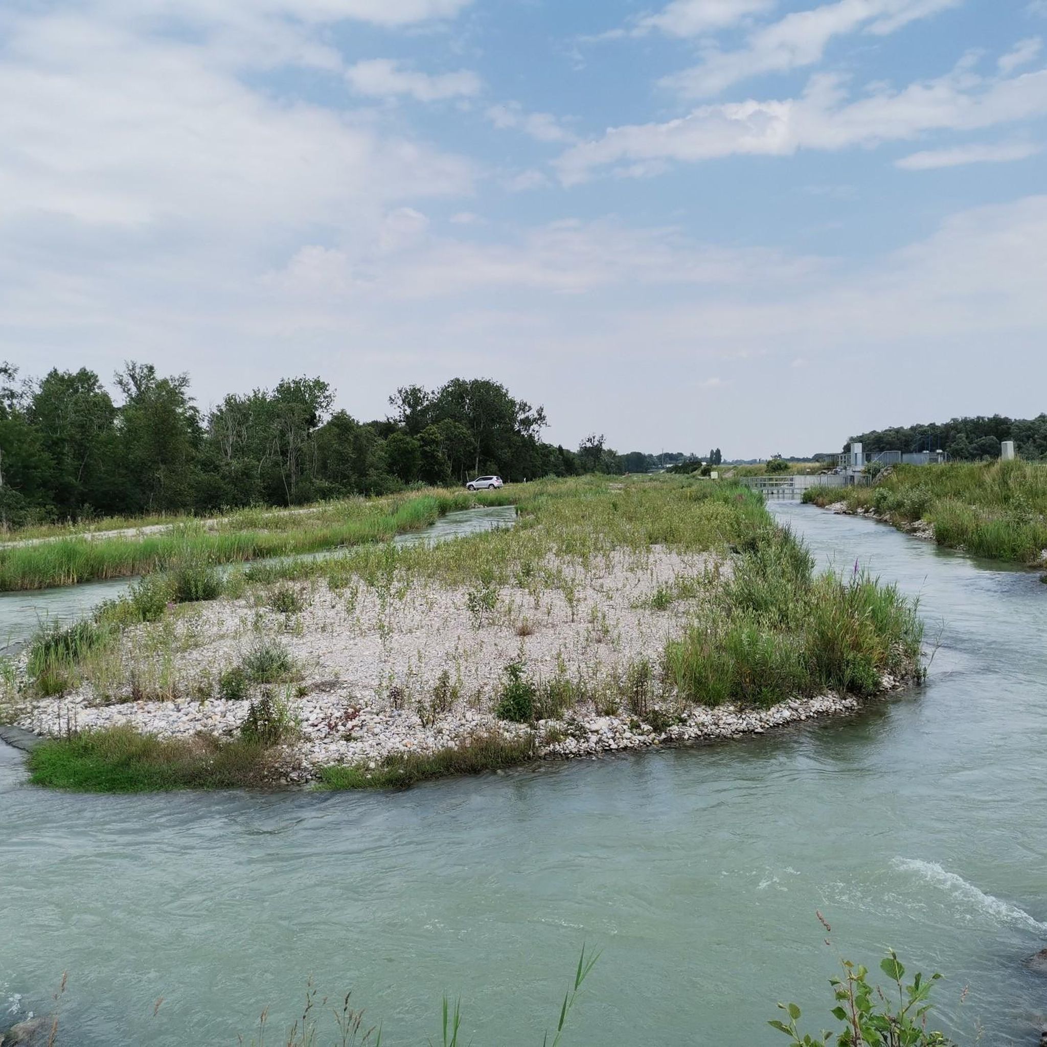
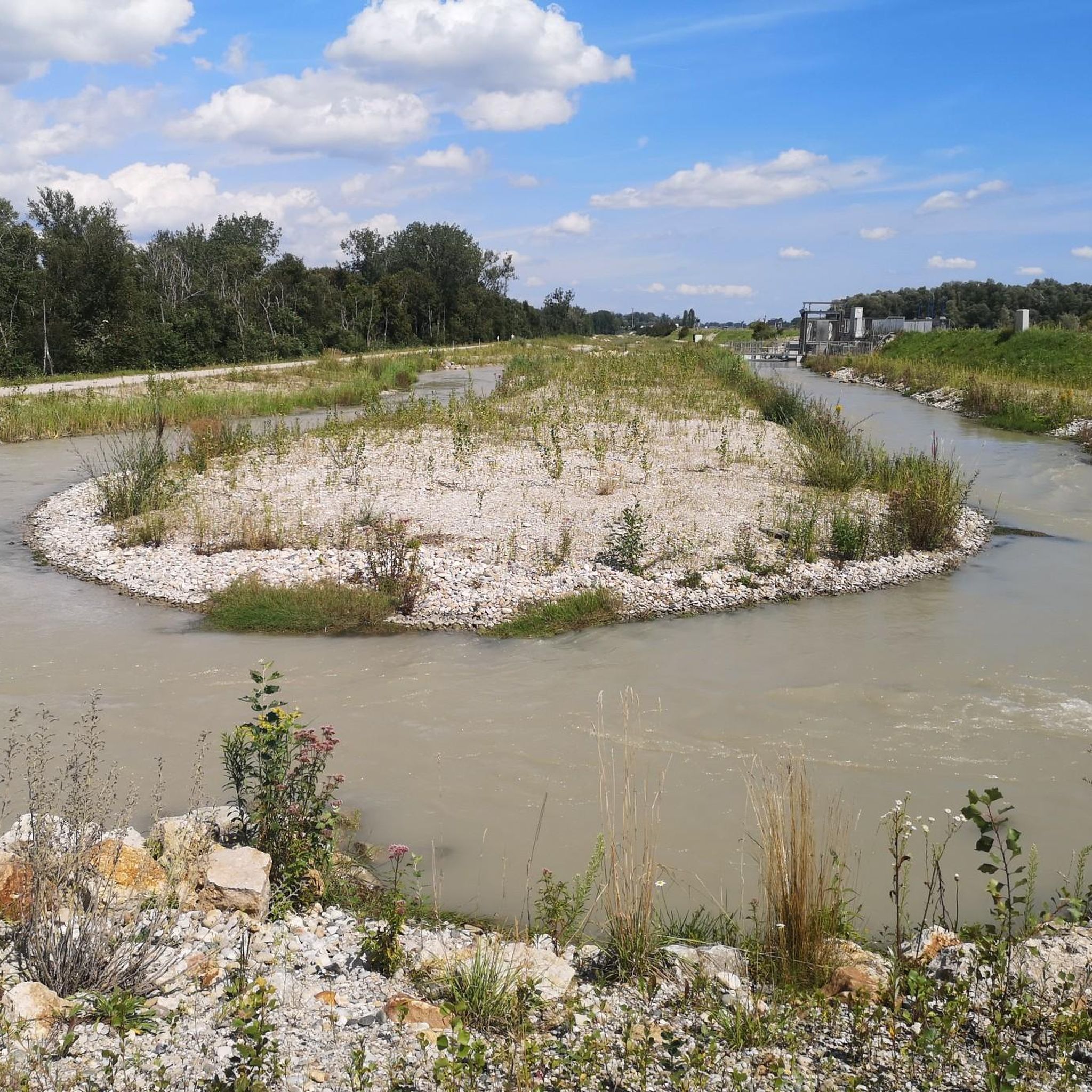
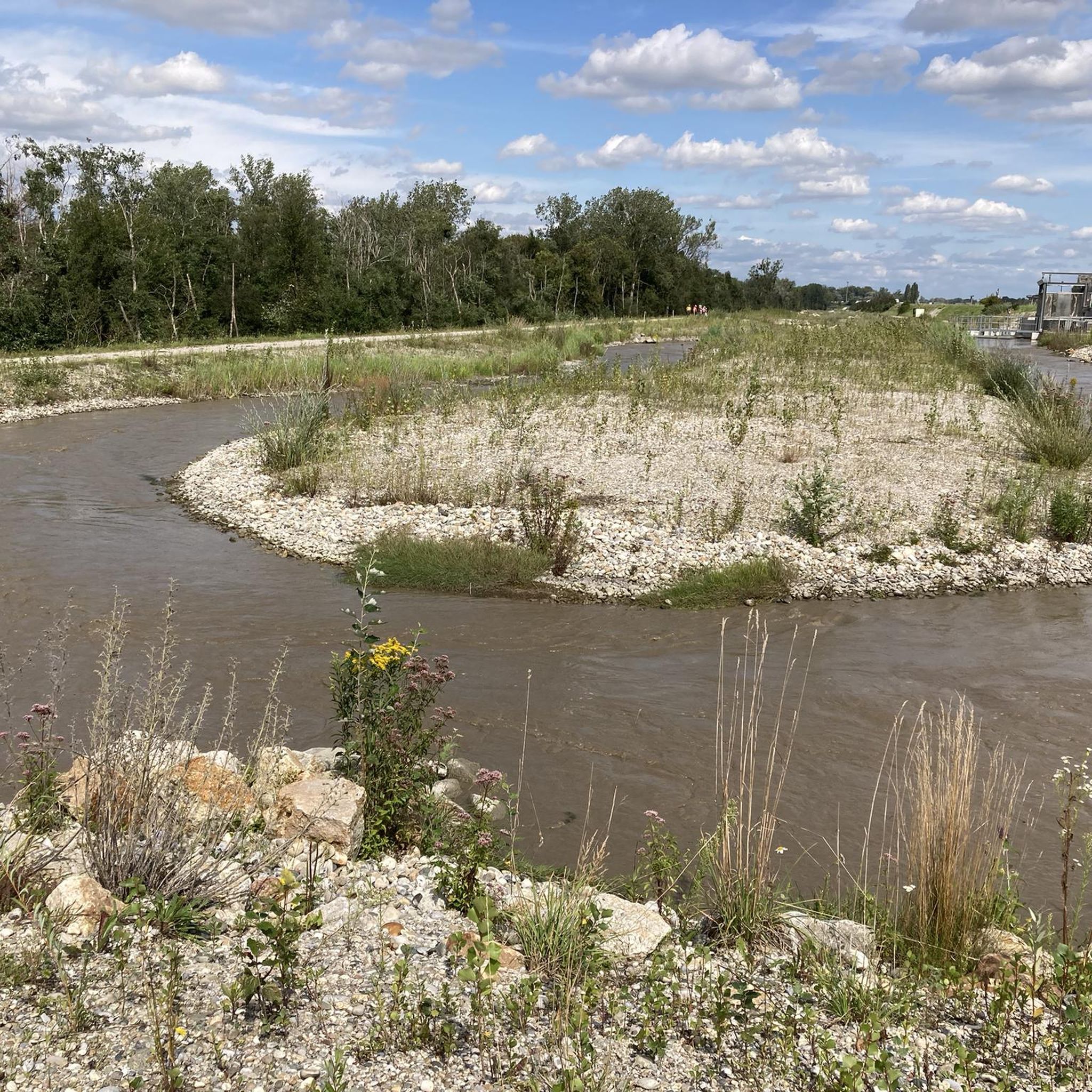
Jogging routes in Unterer Inn traverse a transboundary European Nature Reserve, characterized by lush riverine vegetation, extensive riparian forests, and diverse water formations along the Inn River. The region's flat terrain and well-maintained paths make it ideal for running, offering a peaceful and scenic environment. Joggers can explore a comprehensive network of trails that wind through floodplains, past silt banks, and alongside old waterways, with many routes providing opportunities for bird observation. This area features varied landscapes including pasture-covered islands and colorful meadows, ensuring a rich natural experience.
Best jogging routes in Unterer Inn
- The most popular jogging route is Frauenstein Castle – Burgschänke Frauenstein loop from Mining, a 6.4 miles (10.3 km) trail that takes 1 hour 7 minutes to complete. This moderate route offers views of the Inn River landscape.
- Another top favourite among local runners is Eglsee Bird-Watching Tower loop from Ering, a moderate 5.0 miles (8.1 km) path. This route leads through areas known for diverse bird species and offers opportunities for observation.
- Local runners also love the Inn River Cycle Path – Burgschänke Frauenstein loop from Mining, a 2.5 miles (4.0 km) trail leading through riparian forests and along the river, often completed in about 25 minutes.
- Jogging in Unterer Inn is defined by lush riverine vegetation, diverse water formations, and open meadows. The extensive network offers options for easy, moderate, and more challenging running experiences.
- The routes in Unterer Inn are highly rated by the komoot community with an average score of 4.3 stars from over 250 reviews. More than 5000 runners have used komoot to explore Unterer Inn's varied terrain.
Last updated: June 29, 2026
62
runners
10.3km
01:07
30m
30m
Moderate run. Good fitness required. Mostly paved surfaces. Suitable for all skill levels.
5.0
(3)
33
runners
8.06km
00:56
20m
20m
Moderate run. Good fitness required. Mostly paved surfaces. Suitable for all skill levels.

Sign up for free
5.0
(2)
34
runners
Moderate run. Good fitness required. Mostly paved surfaces. Suitable for all skill levels.
3.0
(1)
29
runners
4.01km
00:25
20m
20m
Easy run. Great for any fitness level. Mostly paved surfaces. Suitable for all skill levels.
5.0
(1)
15
runners
5.94km
00:37
10m
10m
Moderate run. Good fitness required. Mostly paved surfaces. Suitable for all skill levels.
Get access to more routes and recommendations from other explorers.
Sign up for free
Already have an account?
Our route recommendations are based on thousands of hikes, rides, and runs completed by other people on komoot.
Start today with a free account
Your next adventure awaits.
Login or Signup

Tips from the Community


Nice beer garden with good food and good beer, all at reasonable prices.
1
0

Good place to stop for a break right on the Inn.
1
0

Great place for a break
0
0


Bird sanctuary with adventure world
1
0


Frequently Asked Questions
What kind of terrain can I expect on the running trails in Unterer Inn?
The running trails in Unterer Inn are primarily characterized by flat terrain and well-maintained paths, making them ideal for jogging. You'll find yourself traversing lush riverine vegetation, extensive riparian forests, and diverse water formations along the Inn River. The landscape also features pasture-covered islands and colorful meadows, offering a varied and scenic experience.
Are there any easy running routes suitable for beginners or a relaxed jog?
Yes, Unterer Inn offers many easy running routes. Out of over 540 routes, 72 are classified as easy. A great option is the Inn River Cycle Path – Burgschänke Frauenstein loop from Mining, which is 4.0 km (2.5 miles) long and leads through riparian forests and along the river.
Can I bring my dog on the jogging routes in Unterer Inn?
The Unterer Inn region is generally welcoming to outdoor enthusiasts, and many trails are suitable for dogs. However, as a European Nature Reserve and bird sanctuary, it's crucial to keep dogs on a leash to protect the diverse wildlife, especially ground-nesting birds. Always check local signage for specific restrictions in certain areas.
Are there any family-friendly running paths in the area?
Yes, the flat terrain and accessible paths make many of the running routes in Unterer Inn suitable for families. The comprehensive trail network offers various distances, allowing you to choose a path that fits your family's activity level. Routes that pass by observation towers, like those near Eglsee, can add an engaging element for children interested in birdwatching.
What kind of wildlife can I expect to see while running in Unterer Inn?
Unterer Inn is a European Bird Sanctuary and Ramsar site, making it a paradise for birdwatchers. While running, you might observe around 300 bird species, including rare ones like the Black-crowned Night Heron, Purple Heron, Great Egret, and even White-tailed Eagles. The region's diverse habitats, including reed banks and riparian forests, support a rich variety of flora and fauna.
Are there any viewpoints or landmarks along the running trails?
Absolutely. The region features numerous observation towers and platforms strategically placed for excellent birdwatching opportunities without disturbing wildlife. You can find the Eglsee Bird-Watching Tower and the View of Obernberg and the Inn River Dam. Additionally, you might encounter the Ering–Frauenstein Hydroelectric Power Plant and the Fish Ladder Ering.
How long are the typical running routes in Unterer Inn?
The running routes in Unterer Inn vary in length to suit different preferences. For example, the popular Frauenstein Castle – Burgschänke Frauenstein loop from Mining is 10.3 km (6.4 miles), while the Eglsee Bird-Watching Tower loop from Ering is 8.1 km (5.0 miles). There are also shorter options like the 4.0 km (2.5 miles) Inn River Cycle Path – Burgschänke Frauenstein loop from Mining.
Are there circular running routes available in Unterer Inn?
Yes, many of the running routes in Unterer Inn are designed as loops, offering convenient circular paths. Examples include the Frauenstein Castle – Burgschänke Frauenstein loop from Mining and the Eglsee Bird-Watching Tower loop from Ering. These circular routes allow you to start and finish at the same point, often providing diverse scenery throughout the run.
What do other runners enjoy most about jogging in Unterer Inn?
The area is highly rated by the komoot community, with an average score of 4.3 stars from over 250 reviews. Runners often praise the peaceful and scenic environment, the well-maintained paths, and the unique opportunity for bird observation. The diverse landscapes, from riparian forests to open meadows, are frequently highlighted as a key enjoyment factor.
Is there parking available near the running trails?
Yes, the Unterer Inn region is well-equipped for visitors. For example, the Naturium am Inn Visitor Center in Ering serves as a valuable resource and typically offers parking facilities. Many trailheads and popular starting points for routes will have designated parking areas, though it's always good to check specific route details for precise parking information.
Are there any cafes or restaurants near the running routes for a post-run refreshment?
While the focus of the reserve is nature, the surrounding towns and villages, such as Ering and Mining, offer options for refreshments. The Naturium am Inn Visitor Center can also provide information on nearby amenities. You'll find local cafes and restaurants where you can relax and refuel after your run.
What is the best time of year to go running in Unterer Inn?
The Unterer Inn region offers a beautiful running experience throughout much of the year. Spring and autumn are particularly popular due to milder temperatures and the spectacular bird migration, with thousands of birds passing through. Summer provides lush green scenery, though it can be warmer. Winter running is also possible, offering a different, serene landscape, but always check local conditions.
Most popular routes in Unterer Inn
Most popular attractions in Unterer Inn

Get inspired with the komoot mobile app


Explore more
Browse the best Running Trails & Routes in other regions.
