The best mountain hikes in Südufer Des Simssees
4.8
(60)
816
hikers
14
hikes
Mountaineering routes in Südufer Des Simssees are set within a gently rolling, hilly landscape, providing scenic views of the distant Alps. The Südufer itself is a protected nature reserve, featuring diverse habitats such as low bogs and riparian forests. While the immediate shore offers gentler terrain, the broader region provides access to more challenging alpine experiences. This area serves as a base for mountain hiking with varied difficulty levels.
Best mountaineering routes in Südufer Des Simssees
- The most popular mountaineering…
Last updated: July 4, 2026
4.5
(8)
114
hikers
11.7km
05:14
850m
850m
Hard mountaineering route. Very good fitness required. Mostly accessible paths. Sure-footedness required.
4.7
(3)
28
hikers
12.4km
05:26
840m
840m
Hard mountaineering route. Very good fitness required. Mostly accessible paths. Sure-footedness required.

Sign up for free
5.0
(1)
13
hikers
14.8km
06:31
1,010m
1,010m
Hard mountaineering route. Very good fitness required. Sure-footedness, sturdy shoes and alpine experience required.
11
hikers
6.09km
01:51
160m
160m
Moderate mountaineering route. Great for any fitness level. Mostly accessible paths. Sure-footedness required.
4.7
(28)
263
hikers
12.2km
04:26
670m
670m
Moderate mountaineering route. Good fitness required. Mostly accessible paths. Sure-footedness required.
Get access to more routes and recommendations from other explorers.
Sign up for free
Already have an account?
Our route recommendations are based on thousands of hikes, rides, and runs completed by other people on komoot.
Start today with a free account
Your next adventure awaits.
Login or Signup
Tips from the Community

Great park with several beautiful routes
1
0

Forest and wildlife sanctuary. Closed from December 15th to April 30th.
1
0

A beautiful view of the Chiemsee.
0
0

Here you can take a shortcut along the forest road from the Spatenau car park towards Hochries!
0
0

From the slope of the Hochries, a wonderful view opens up to the north over the plain. You can see the beautiful mosaic of meadows, forests, small villages and the Simssee.
1
0


We didn't stop in, don't like to reserve a table on a tour, usually need a refreshment before 12 o'clock and the final straw today was the fact that the playground is gone. Who saw the crime scene on August 18th, or the 15 minutes of "disturbing children" before that... In my opinion, not a good concept here - I'll take my snack with me and go somewhere else with my 5 grandchildren. What a pity!!
3
0

Beautifully situated hut in a mountain pasture
2
1
Frequently Asked Questions
What kind of mountaineering routes can I expect in Südufer Des Simmsees?
The Südufer Des Simmsees area offers a variety of mountaineering routes, ranging from moderate to difficult. While the immediate shore features gentler terrain, the broader region provides access to more challenging alpine experiences with significant elevation gains and panoramic views of the distant Alps. You'll find routes that require good fitness and sure-footedness, with some demanding alpine experience.
How many mountaineering routes are available in the Südufer Des Simmsees area?
There are 14 mountaineering routes available in the Südufer Des Simmsees area. These include 9 moderate and 5 difficult trails, offering options for various skill levels.
Are there mountaineering routes suitable for beginners in Südufer Des Simmsees?
Yes, there are several moderate mountaineering routes in the Südufer Des Simmsees area that are suitable for beginners or those looking for less strenuous options. These routes still offer beautiful scenery and a taste of the region's natural beauty without the extreme demands of difficult alpine terrain. An example of a moderate route is the Dandlberg Summit – Dandlbergalm loop from Steinkirchen.
What is the typical duration for mountaineering routes in Südufer Des Simmsees?
The duration of mountaineering routes in Südufer Des Simmsees varies depending on the trail's length and difficulty. Moderate routes, like the Käseralm with a view of Hochries loop from Samerberg, can take around 2 hours 20 minutes. More challenging routes, such as the Feichteck Summit – Hochries Summit loop from Samerberg, can take over 6 hours to complete.
Are there any circular mountaineering routes in Südufer Des Simmsees?
Yes, many of the mountaineering routes in Südufer Des Simmsees are designed as circular loops, allowing you to start and end at the same point. For instance, the challenging Hochries Summit – Hochries Summit Cross loop from Samerberg is a popular circular option.
Can I bring my dog on mountaineering trails in Südufer Des Simmsees?
Generally, dogs are welcome on most mountaineering trails in the Südufer Des Simmsees region. However, it's always advisable to keep them on a leash, especially in nature reserve areas like the Südufer itself, and to be mindful of wildlife and other hikers. Always check specific trail regulations before heading out.
What natural features or viewpoints can I expect to see on these routes?
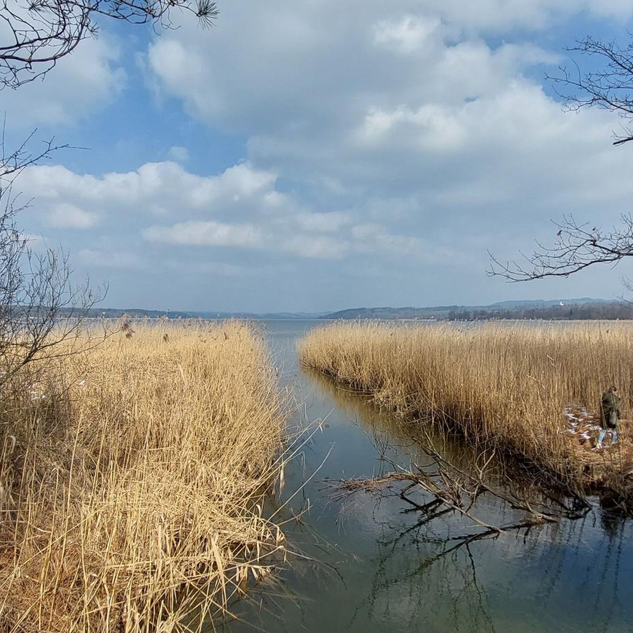
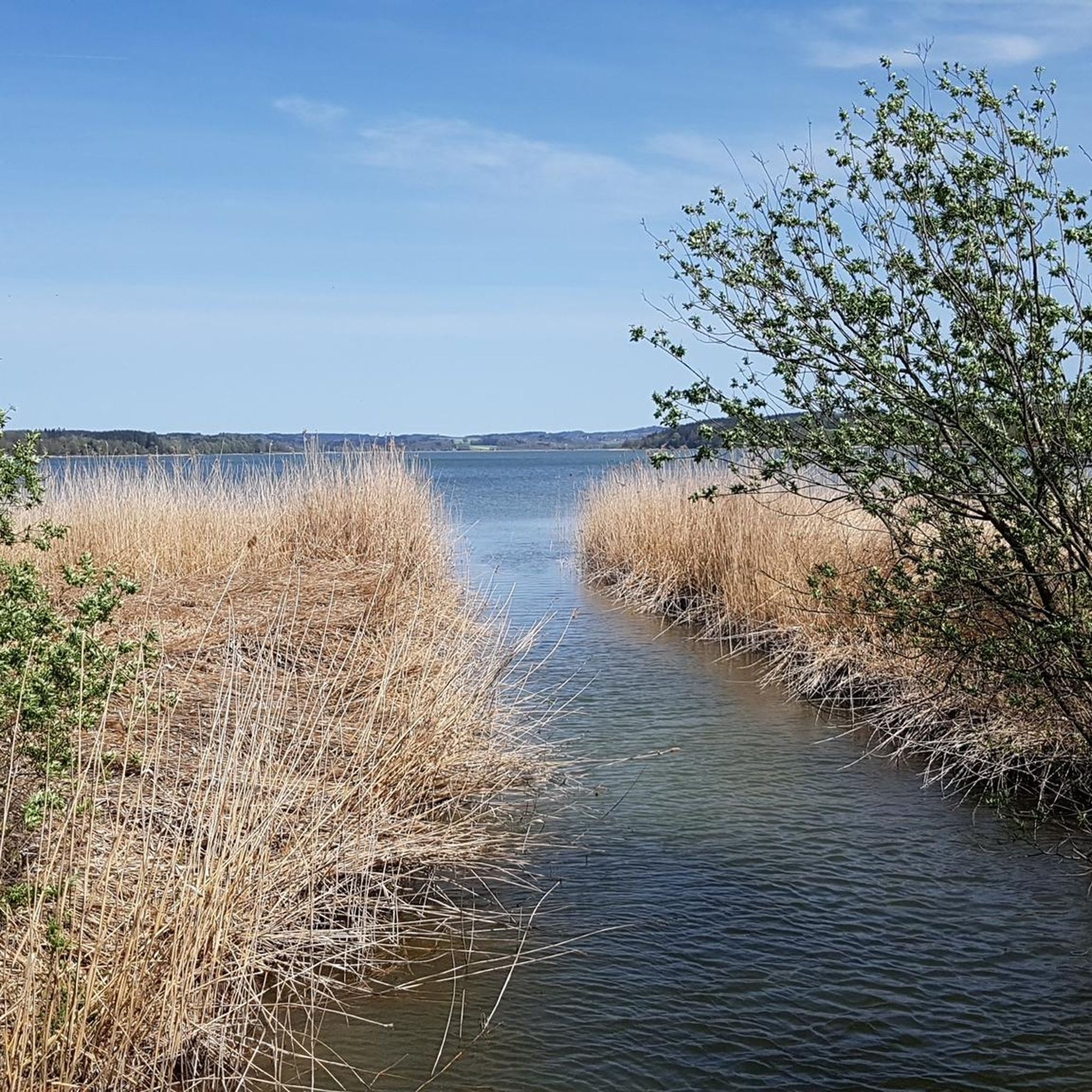
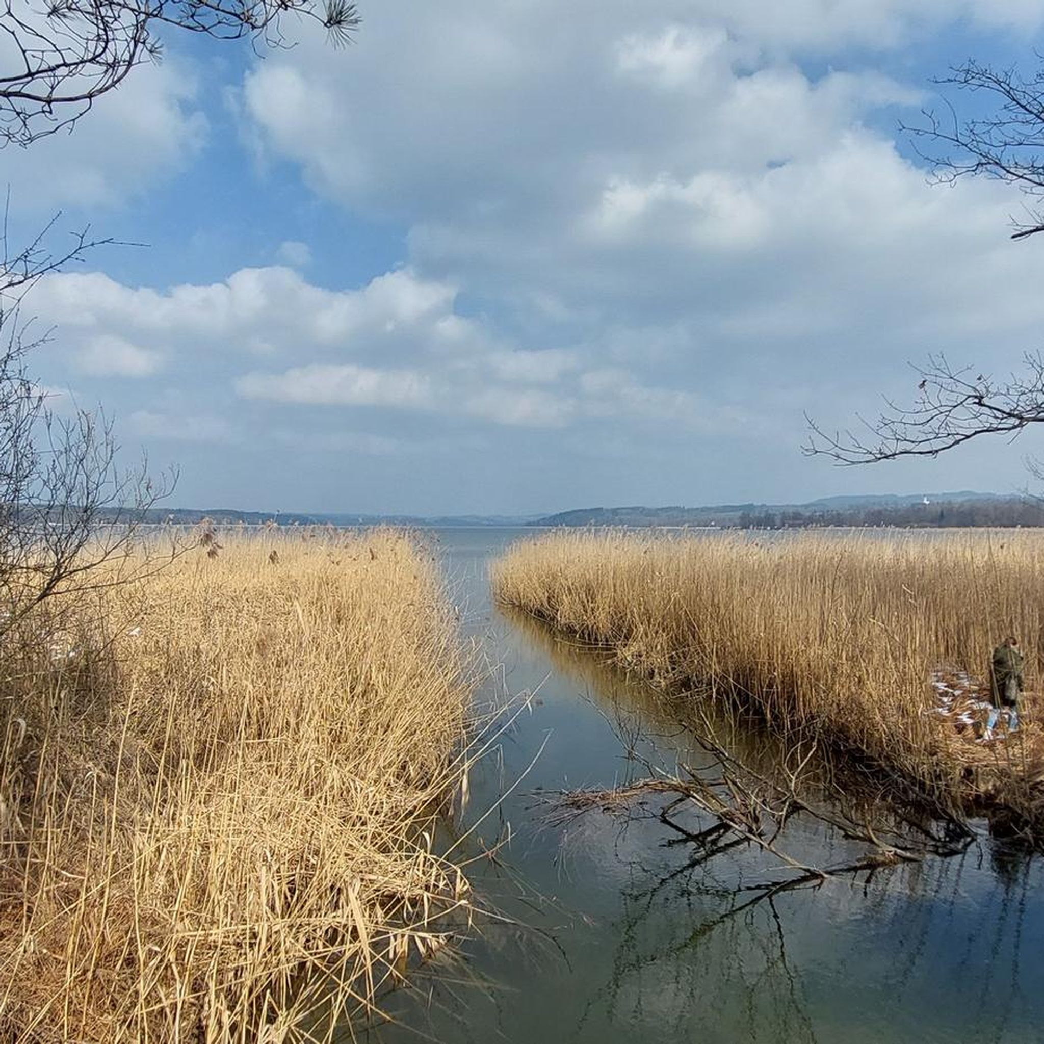
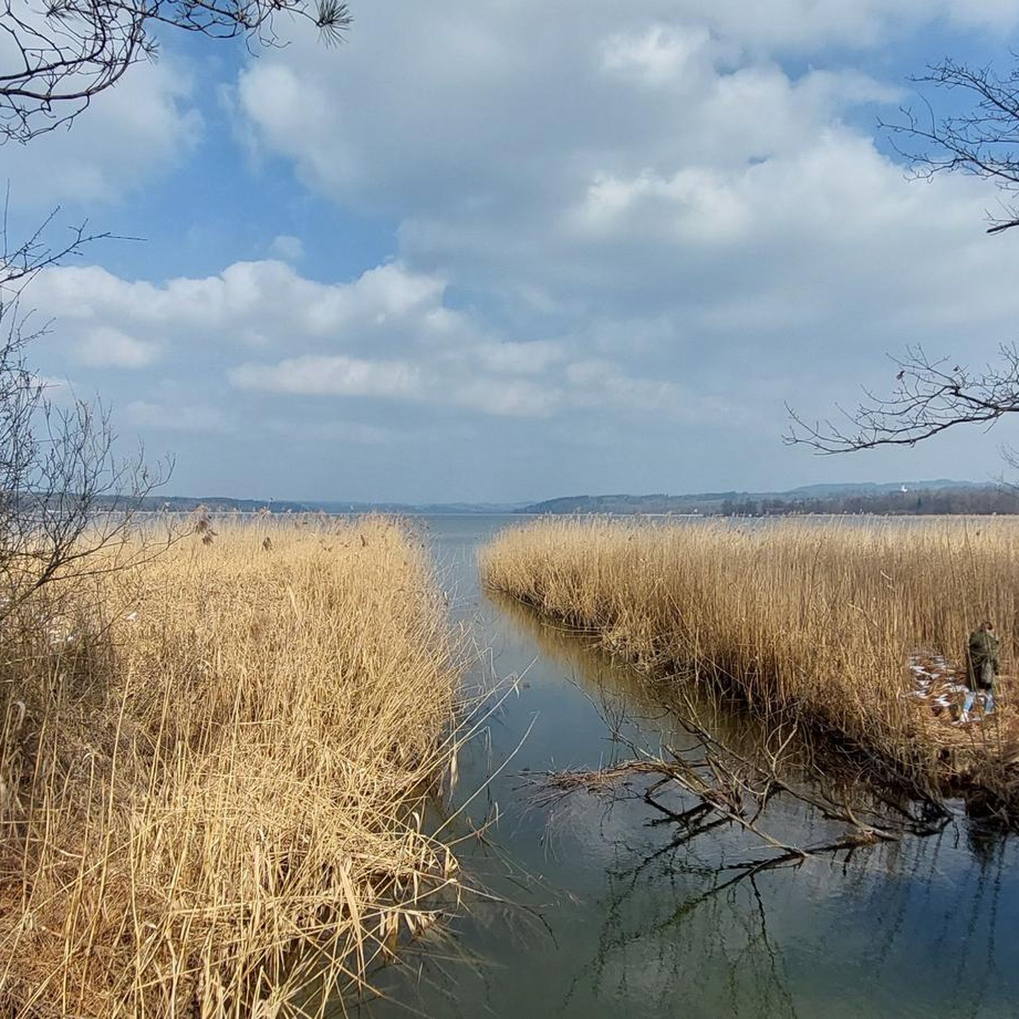
Mountaineering routes in Südufer Des Simmsees offer stunning natural features and viewpoints. You'll experience a gently rolling, hilly landscape with picturesque views of the distant Alps. The Südufer is a nature reserve, featuring diverse habitats like low bogs and riparian forests. Highlights include the Reed Shore Path at the South Bank of Simssee and the Bird Interpretive Trail, offering opportunities for nature observation.
Are there places to eat or drink near the mountaineering routes?
Yes, you can find places to eat and drink near some of the mountaineering routes. For example, the Gocklwirt at the Vineyard, which also has a beer garden, is a notable spot in the vicinity where you can refuel after your hike.
Is parking available for mountaineering routes in Südufer Des Simmsees?
Yes, parking is generally available at or near the starting points of many mountaineering routes in the Südufer Des Simmsees area. Specific parking information can often be found on individual route pages on komoot or local signage at trailheads.
What is the best time of year for mountaineering in Südufer Des Simmsees?
The best time for mountaineering in Südufer Des Simmsees is typically from late spring through early autumn (May to October). During these months, the weather is generally more stable, and trails are clear of snow, offering optimal conditions for hiking and enjoying the scenic views. Always check local weather forecasts before your trip.
Are there any permits required for mountaineering in Südufer Des Simmsees?
No, generally, no special permits are required for mountaineering or hiking on the established trails in the Südufer Des Simmsees area. However, as parts of the region are designated nature reserves, it's important to respect local regulations, stay on marked paths, and avoid disturbing wildlife.
What do other mountaineers say about the routes in Südufer Des Simmsees?
The mountaineering routes in Südufer Des Simmsees are highly rated by the komoot community, with an impressive average score of 4.8 stars from over 50 reviews. More than 800 mountaineers have explored this varied terrain, often praising the scenic views of the Alps and the diverse natural landscapes.
Most popular routes in Südufer Des Simssees
Most popular attractions in Südufer Des Simssees

Get inspired with the komoot mobile app


Explore more
Browse the best Mountain Hikes & Routes in other regions.
