The best running trails in Mokrade Turca
74
runners
4
runs
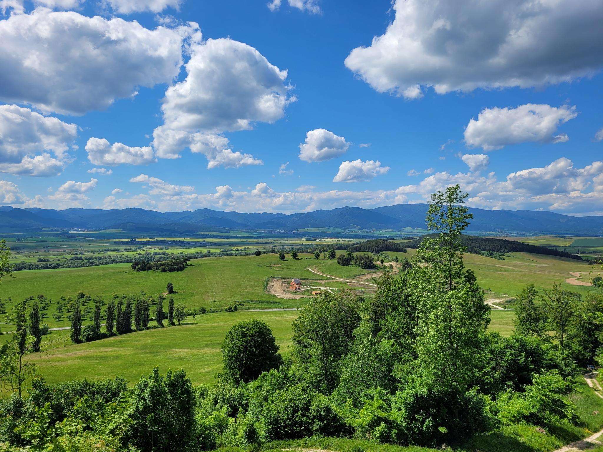
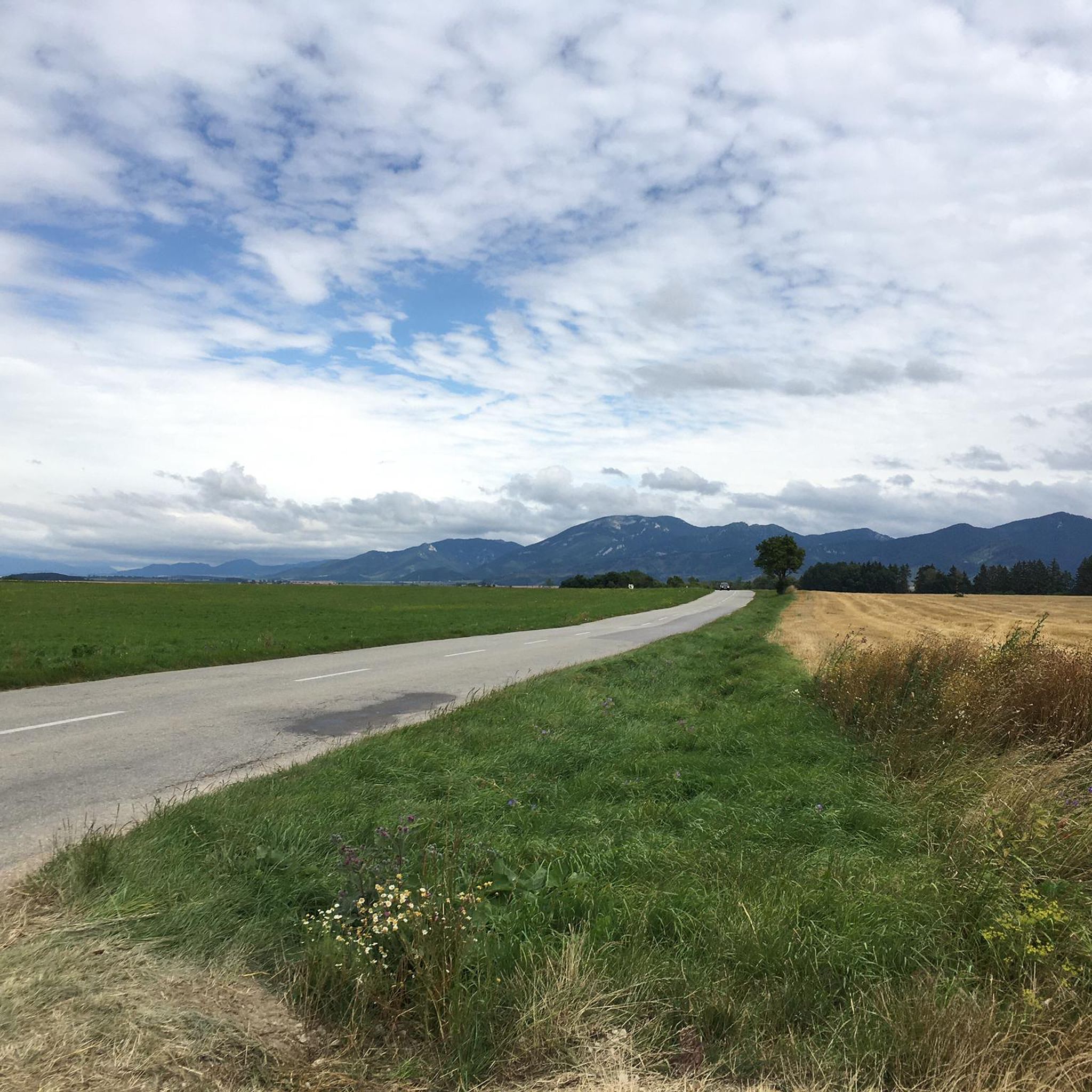
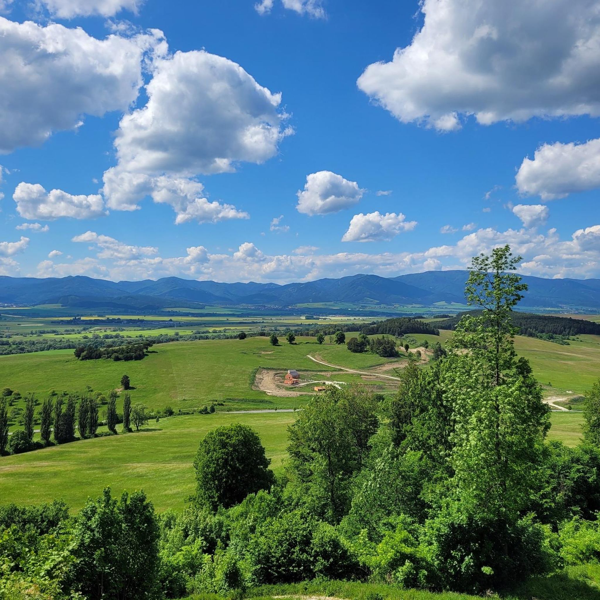
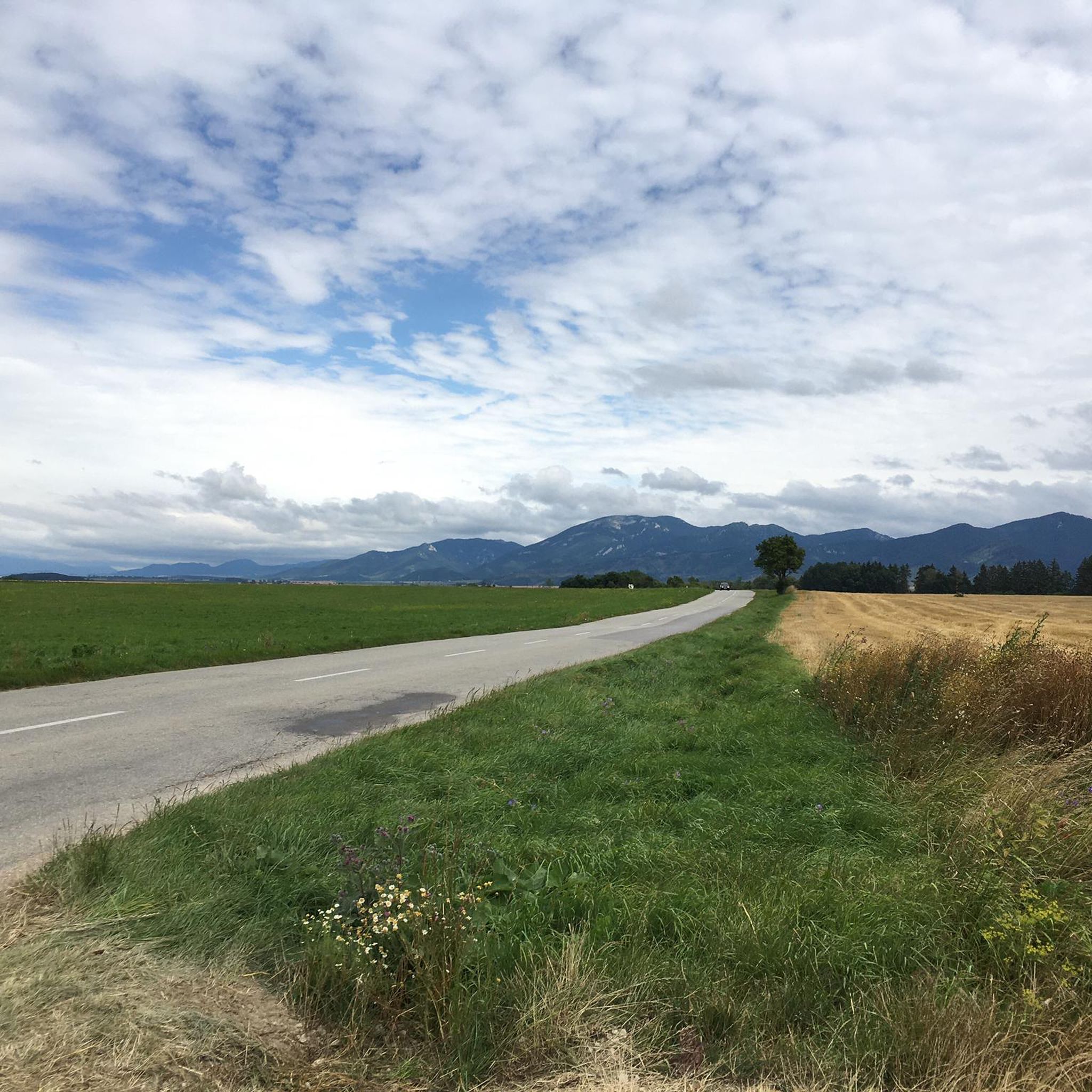
Jogging routes in Mokrade Turca offer a diverse landscape for runners. The region is characterized by its varied elevation, ranging from gentle foothills to more challenging ascents, as indicated by routes with significant elevation gains. Runners can expect to traverse through areas that combine open spaces with more sheltered, possibly forested sections, providing a mix of running environments. The terrain includes both moderate and difficult paths, catering to different fitness levels.
Best jogging routes in Mokrade Turca
- The most popular…
Last updated: August 11, 2026
30
runners
9.27km
01:01
180m
190m
Moderate run. Good fitness required. Mostly paved surfaces. Suitable for all skill levels.
25
runners
8.17km
00:55
160m
160m
Moderate run. Good fitness required. Mostly paved surfaces. Suitable for all skill levels.

Sign up for free
3
runners
7.72km
01:01
260m
260m
Moderate run. Good fitness required. Mostly paved surfaces. Suitable for all skill levels.
5
runners
15.7km
02:27
860m
860m
Hard run. Very good fitness required. Mostly paved surfaces. Suitable for all skill levels.
11
runners
12.1km
02:03
810m
810m
Hard run. Very good fitness required. Mostly paved surfaces. Suitable for all skill levels.
Our route recommendations are based on thousands of hikes, rides, and runs completed by other people on komoot.
Start today with a free account
Your next adventure awaits.
Login or Signup
Frequently Asked Questions
What is the general difficulty level of running trails in Mokrade Turca?
Mokrade Turca offers a mix of running trails. You'll find a variety of routes, including 3 moderate trails and 1 difficult trail, catering to different fitness levels. The region is known for its varied elevation, from gentle foothills to more challenging ascents.
Are there parking facilities near the running routes in Mokrade Turca?
While specific parking areas are not detailed for each route, many trailheads in outdoor regions like Mokrade Turca typically have designated parking, especially near villages or popular starting points. It's advisable to check local signage or maps for parking options when planning your run.
Are there family-friendly running options in Mokrade Turca?
The guide primarily lists moderate and difficult routes. For family-friendly options, consider trails with minimal elevation gain and shorter distances. While no specific 'easy' routes are highlighted, the moderate trails like Running loop from Martinské predhorie (5.8 miles) might be suitable for active families, depending on their experience.
Which running trails are suitable for beginners in Mokrade Turca?
Beginners might find the moderate routes more approachable. The Running loop from Podhradište, at 5.1 miles with a steady climb, offers a good introduction to the region's terrain without being overly strenuous. Always assess your fitness level before attempting any route.
Can I bring my dog on the running trails in Mokrade Turca?
Generally, dogs are welcome on trails in natural areas like Mokrade Turca, especially if kept on a leash. However, it's always best to check local regulations or park rules for specific trails, as some protected areas might have restrictions. Ensure your dog is well-behaved and that you clean up after them.
When is the best time of year to go running in Mokrade Turca?
The best time for running in Mokrade Turca is typically from spring to autumn (April to October) when the weather is milder and trails are clear of snow and ice. Summer offers lush greenery, while autumn provides beautiful foliage. Always check the local weather forecast before heading out.
Are there any running routes suitable for winter in Mokrade Turca?
Running in winter in Mokrade Turca can be challenging due to snow and ice, especially on higher elevations or less-maintained paths. While no specific winter routes are listed, some lower-elevation or well-trodden paths might be runnable with appropriate gear (e.g., trail shoes with good grip, microspikes). Always prioritize safety and check conditions.
What kind of scenery and wildlife can I expect while running in Mokrade Turca?
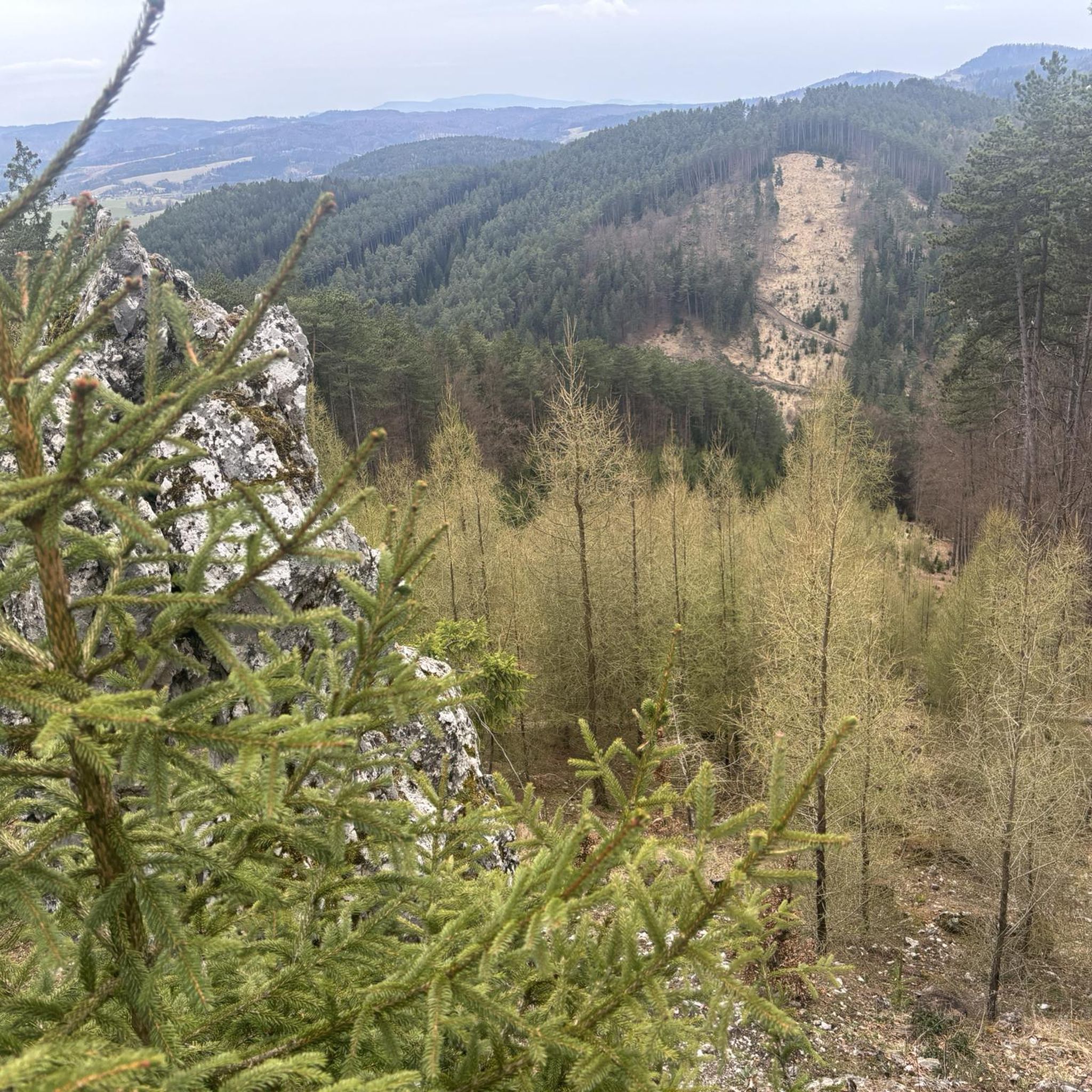
Mokrade Turca offers diverse scenery, characterized by hilly terrain, forest paths, and open landscapes. You can expect to run through areas combining open spaces with sheltered, possibly forested sections. While specific wildlife sightings are not guaranteed, the natural environment provides opportunities to observe local flora and fauna.
Are there circular running routes available in Mokrade Turca?
Yes, several popular running routes in Mokrade Turca are circular. Examples include the Hríb loop from Turčianske Jaseno and the Lysec – Medzijarky loop from Belá-Dulice, allowing you to start and finish at the same point.
How many running routes are available in Mokrade Turca?
There are at least 4 distinct running routes available in Mokrade Turca, as detailed in this guide. These routes offer a range of distances and difficulty levels for runners to explore.
What do other runners say about the trails in Mokrade Turca?
Over 60 runners have used komoot to explore Mokrade Turca's varied terrain. While specific reviews aren't detailed here, the popularity suggests that the trails are well-regarded for their diverse landscapes and options for different ability levels.
What kind of terrain can I expect on the running trails?
The running trails in Mokrade Turca feature a mix of terrain, including hilly sections, forest paths, and open landscapes. You'll encounter varied elevation, from gentle inclines to more significant climbs, providing a dynamic running experience.
Are there options for longer or more challenging runs in Mokrade Turca?
Yes, for runners seeking a greater challenge, routes like the Lysec – Medzijarky loop from Belá-Dulice offer a difficult rating, covering 9.7 miles (15.7 km) with substantial elevation gain, providing a demanding workout.
Most popular routes in Mokrade Turca

Get inspired with the komoot mobile app


