The best road cycling routes around Farchant
4.5
(706)
14,210
riders
99
rides
Road cycling routes around Farchant navigate a diverse landscape of gentle hills and imposing mountains in Bavaria, Germany. The region features well-maintained cycling paths that meander along rivers like the Loisach, through lush meadows, and into dense forests. Cyclists encounter varied terrain, from routes with minimal climbs to those with significant elevation gains, all set against the backdrop of the Bavarian Alps. This geographical mix provides options for various skill levels, from relaxed rides to challenging ascents.
Best road cycling routes around Farchant
- The most popular road cycling route is Plansee – Plansee loop from Oberau, an 80.0 miles (128.7 km) trail that takes about 6 hours to complete. This difficult route features substantial elevation gains and offers views of the Plansee.
- Another top favourite among local road cyclists is Leutasch Valley Scenic Road – Leutasch sign loop from Farchant, a difficult 52.7 miles (84.7 km) path. This route includes significant elevation and provides scenic vistas with the Hohe Munde as a backdrop.
- Local road cyclists also love the View of the Plansee – Plansee loop from Farchant, a 49.9 miles (80.3 km) trail leading through varied terrain and offering views of the Plansee, often completed in about 3 hours 40 minutes.
- Road cycling around Farchant is defined by gentle hills, imposing mountains, and river valleys, with routes catering to all ability levels. The network includes paths along the Loisach River and challenging ascents towards scenic lakes.
- The routes in Farchant are highly rated by the komoot community with an average score of 4.4 stars from over 600 reviews. More than 13,000 road cyclists have used komoot to explore Farchant's varied terrain.
Last updated: July 10, 2026
4.3
(9)
185
riders
129km
06:02
1,530m
1,530m
Hard road ride. Very good fitness required. Mostly well-paved surfaces and easy to ride.
4.8
(14)
225
riders
84.7km
03:57
1,010m
1,010m
Hard road ride. Very good fitness required. Mostly well-paved surfaces and easy to ride.

Sign up for free
5.0
(14)
346
riders
80.3km
03:40
820m
820m
Moderate road ride. Good fitness required. Some segments of this route may be unpaved and difficult to ride.
5.0
(1)
57
riders
Easy road ride. Great for any fitness level. Mostly well-paved surfaces and easy to ride.
4.5
(2)
40
riders
Easy road ride. Great for any fitness level. Mostly well-paved surfaces and easy to ride.
Get access to more routes and recommendations from other explorers.
Sign up for free
Already have an account?
Our route recommendations are based on thousands of hikes, rides, and runs completed by other people on komoot.
Start today with a free account
Your next adventure awaits.
Login or Signup
Popular around Farchant
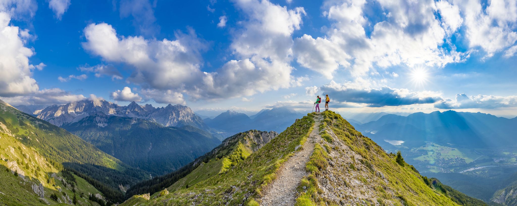
7 days, 7 summits – varied mountain Tour week in the Zugspitz region
Hike up to the most beautiful views in Upper Bavaria – Go 7 Summits
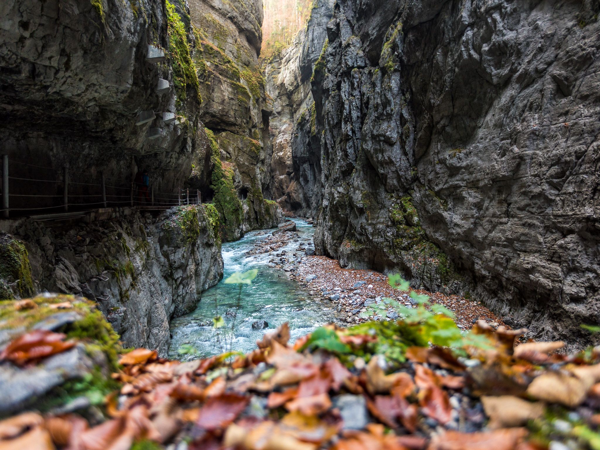
Watery German wonders — gorges and lakes in the Zugspitz Region

Triathlon around Germany
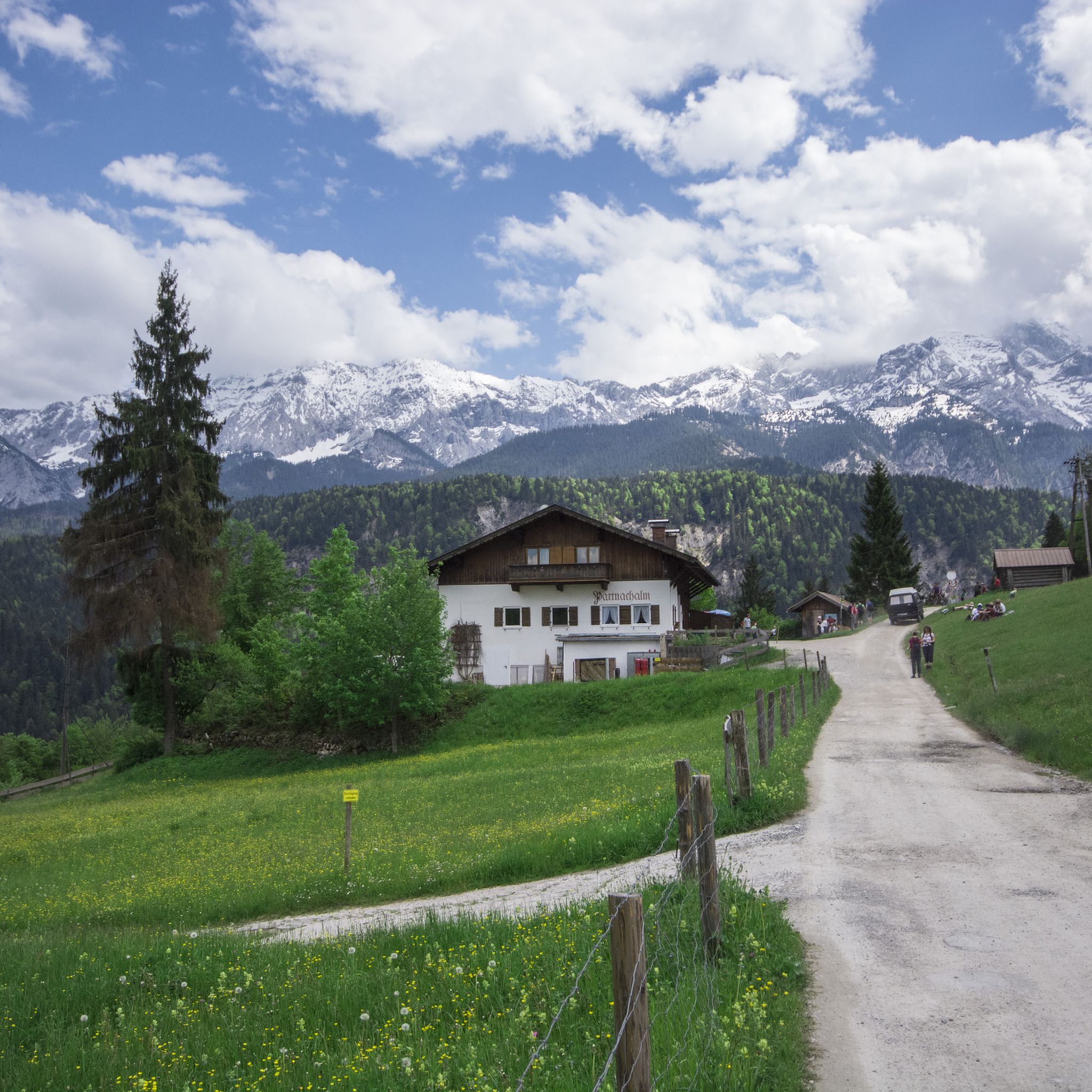
Hiking around Farchant
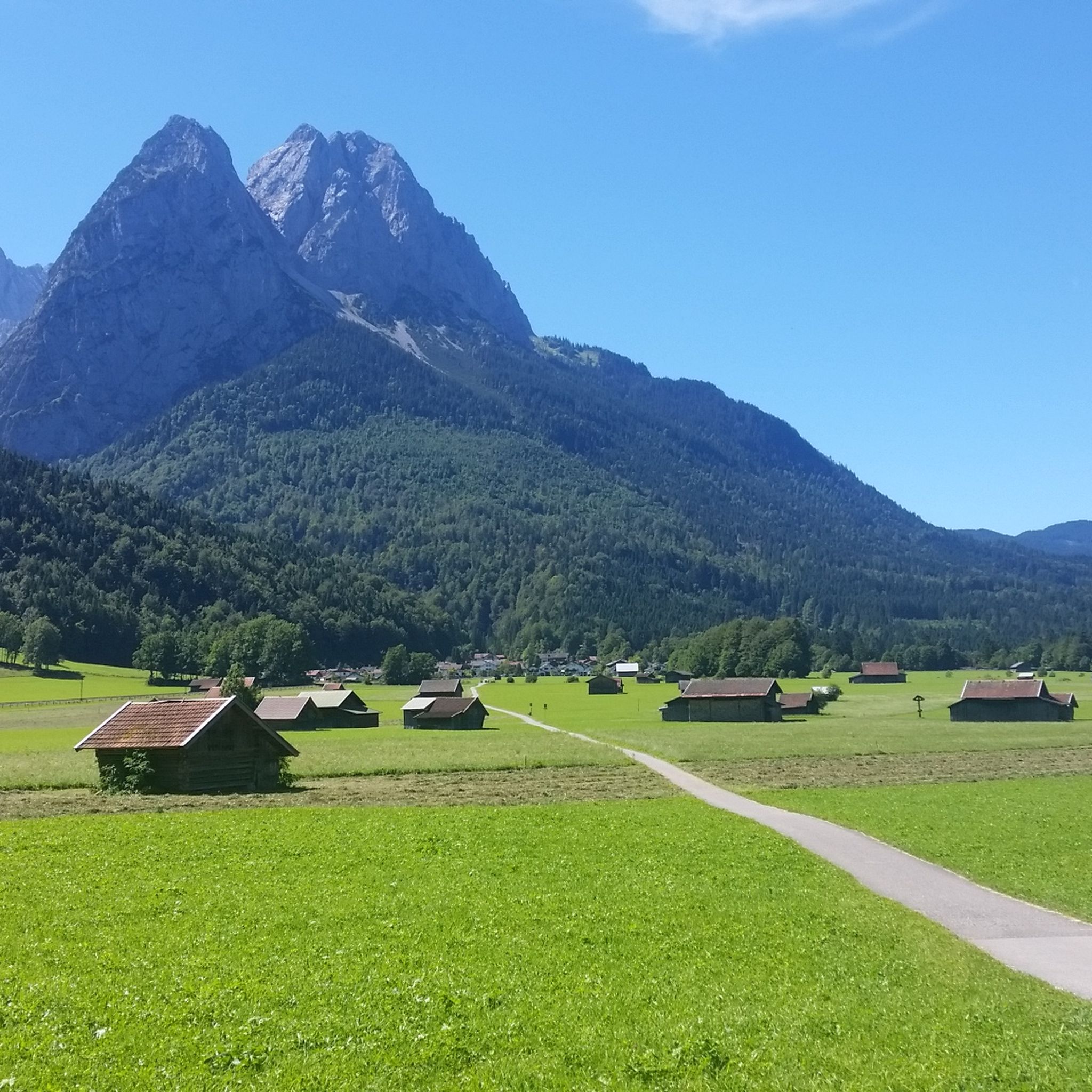
Cycling around Farchant
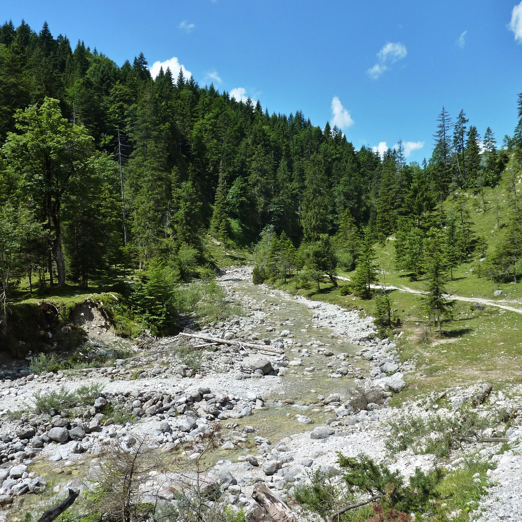
MTB Trails around Farchant
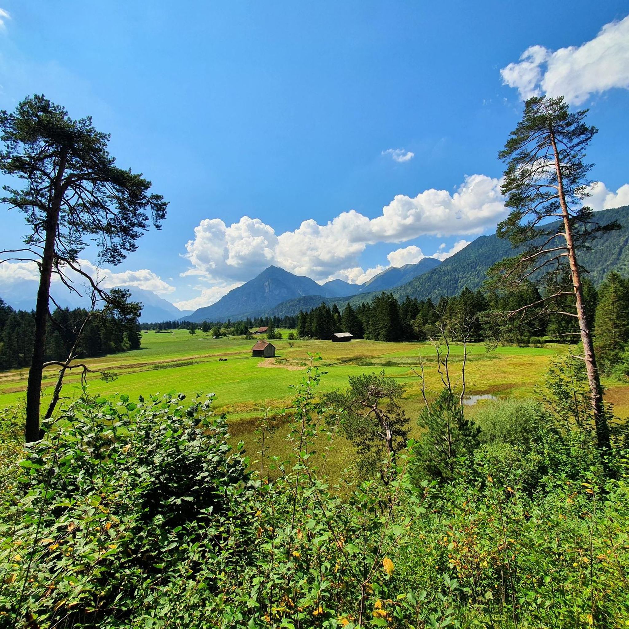
Running Trails around Farchant

Mountain Hikes around Farchant

Gravel biking around Farchant
Other adventures around Farchant


Tips from the Community

The Ettaler Sattel is a scenic mountain pass on the edge of the Naturpark Ammergauer Alpen. A classic cycling and hiking waypoint with a signpost marking the elevation — look out for the views toward Ettal Abbey below.
0
0

You have to cross it if you're heading south. But it's even and quick to ride. It's only a moderate 3700 m. Lots of traffic on some days.
0
0

The cycle path winds beautifully along the river. If you are heading in the right direction, you have a great mountain panorama in view.
0
0

Best asphalt, magnificent view of the mountains
0
0


Beautiful to wedge towards the Alps
0
0

Via Weigs you save a few kilometers on the federal highway.
0
0
The cycle path is paved up to the Loisach Bridge in Ohlstadt. It continues to Hechendorf and is still unpaved.
0
0
Frequently Asked Questions
What kind of terrain and difficulty levels can I expect on road cycling routes around Farchant?
Farchant offers a diverse range of road cycling routes, from gentle rides along river valleys to challenging ascents into the Bavarian Alps. You'll find paths with minimal climbs, such as those along the Loisach River, as well as routes with significant elevation gains. The region caters to all skill levels, with 19 easy, 61 moderate, and 21 difficult routes available.
What scenic views and natural attractions can I discover while road cycling near Farchant?
Road cycling routes around Farchant offer breathtaking views of the Bavarian Alps and lead to several natural wonders. You can cycle past the stunning turquoise waters of Lake Eibsee, known for its views of the Zugspitze, or experience the impressive Kuhflucht Waterfalls, among the highest in Germany. Many routes also provide vistas of the Hohe Munde and the majestic mountain ranges that define the region.
Are there any family-friendly road cycling routes in Farchant?
Yes, Farchant offers several routes suitable for families or those seeking a more relaxed ride. The Loisach Cycle Path, for instance, is often described as an 'enjoyment route' with minimal climbs, meandering through charming landscapes. An easier option is the Kuhflucht Bridge – View of the Bavarian Alps loop from Oberau, which is 17.8 km long and suitable for any fitness level, featuring mostly well-paved surfaces and magnificent mountain views.
When is the best time of year for road cycling in Farchant?
The best seasons for road cycling in Farchant are spring and summer, when the weather is pleasantly warm and nature is in full bloom. Autumn also offers beautiful foliage colors, providing a picturesque backdrop for your rides. While some routes might be accessible, winter conditions can be challenging due to snow and ice, making it less ideal for road cycling.
Are there any circular road cycling routes around Farchant?
Yes, many road cycling routes in Farchant are designed as loops, allowing you to start and end in the same location. Examples include the popular View of the Plansee – Plansee loop from Farchant, which is 80.3 km long, or the shorter Farchant parallel to the railway loop from Oberau, covering 18.5 km.
What do other road cyclists enjoy most about road cycling in Farchant?
The road cycling routes in Farchant are highly rated by the komoot community, with an average score of 4.4 stars from over 600 reviews. Cyclists often praise the region's diverse terrain, from gentle river paths to challenging mountain ascents, and the stunning backdrop of the Bavarian Alps. The well-maintained paths and varied experiences for all skill levels are frequently highlighted.
Are there any challenging road cycling routes for experienced riders?
Absolutely. For experienced road cyclists seeking a challenge, Farchant offers routes with significant elevation gains. The Plansee – Plansee loop from Oberau is a difficult 128.7 km trail with substantial elevation, taking about 6 hours to complete. Another demanding option is the Leutasch Valley Scenic Road – Leutasch sign loop from Farchant, a 84.7 km path with significant climbs and scenic vistas.
Can I find historical landmarks or castles along the road cycling routes?
Yes, Farchant's surroundings offer historical points of interest. You can cycle to the Ruins of Werdenfels Castle, which not only provides a glimpse into medieval history but also offers panoramic views of Farchant. Other notable castles in the wider region include Elmau Castle and Kranzbach Castle, which can be incorporated into longer rides.
How many road cycling routes are available around Farchant?
There are over 100 road cycling routes available around Farchant, offering a wide variety of distances, difficulty levels, and scenic experiences to explore.
Are there options for less crowded road cycling routes in Farchant?
While Farchant is a popular outdoor destination, you can often find quieter routes by exploring paths that venture slightly off the main tourist trails or by cycling during off-peak hours. Routes along the Loisach River, for example, offer a serene experience through lush meadows and forests, providing a peaceful ride away from more challenging mountain ascents.
What are some notable lakes I can cycle to or past in the Farchant area?
The Farchant region is home to several beautiful lakes that make excellent cycling destinations. The most famous is Lake Eibsee, renowned for its crystal-clear, turquoise waters and stunning views of the Zugspitze. The Plansee is also a prominent feature in several routes, offering dreamlike landscapes. For a smaller, more serene experience, you might encounter Honigsee, ideal for a peaceful stop.
Most popular routes around Farchant
Most popular attractions around Farchant

Get inspired with the komoot mobile app


Explore more
Browse the best Road cycling routes in other regions.
