The best walks and hikes in Bråvikens Naturreservat
4.6
(138)
581
hikers
24
hikes
Hiking in Bråvikens Naturreservat offers diverse landscapes, from dramatic fault scarps to ancient forests and rocky meadows. The region is characterized by its varied topography, including the 40-meter-high cliff in Nävekvarns Klints Naturreservat, providing panoramic views over Bråviken Bay. Lush stream valleys with occasional waterfalls and islands with natural forests contribute to the area's natural features. This extensive nature reserve provides a network of hiking trails suitable for exploring its unique geological and ecological diversity.
Best hiking trails in Bråvikens…
Last updated: July 9, 2026
6
hikers
4.44km
01:12
60m
60m
Easy hike. Great for any fitness level. Easily-accessible paths. Suitable for all skill levels.
5.0
(3)
22
hikers
20.2km
05:20
190m
190m
Hard hike. Very good fitness required. Easily-accessible paths. Suitable for all skill levels.

Sign up for free
4.0
(2)
9
hikers
Easy hike. Great for any fitness level. Easily-accessible paths. Suitable for all skill levels.
4.0
(1)
5
hikers
11.2km
02:59
130m
130m
Moderate hike. Good fitness required. Easily-accessible paths. Suitable for all skill levels.
6
hikers
14.4km
03:51
150m
150m
Moderate hike. Good fitness required. Easily-accessible paths. Suitable for all skill levels.
Get access to more routes and recommendations from other explorers.
Sign up for free
Already have an account?
Our route recommendations are based on thousands of hikes, rides, and runs completed by other people on komoot.
Start today with a free account
Your next adventure awaits.
Login or Signup
Popular around Bråvikens Naturreservat
Tips from the Community

A friendly neighbor from the nearby settlement brought two deck chairs to the shelter. After a long day of hiking and lugging a backpack, it provided a relaxing and refreshing experience.
0
0


At the northern end of lake Mellsjön is a nice shelter with a firepit, picnic table and good spots for pitching tents. There is also an outhouse north of the shelter along the trail. The lake is nice and from the cliffs just west of the shelter you get a really nice view of the water. It is probably possible to go for a swim, but the lake doesn't seem like an ideal swimming spot.
0
0
The viggudden shelter is a nice shelter located in the forest only a short distance in from the shore. The shelter itself doesn't have a direct view of the open water, but you can walk out on the cliffs and enjoy the view. There is a fireplace just front of the shelter. To the east of the shelter is an outhouse and just beyond that is a small beach where you can get some morning sun. In this same direction is a good spot for pitching a tent, both up on the cliffs and next to the beach.
0
0
Here at the edge of the Uttervik area is a small building with a water tap for drinking water. There were no clear signs from the trail, but where the trail meets the road, just head north, and head up the little hill to the left.
1
0
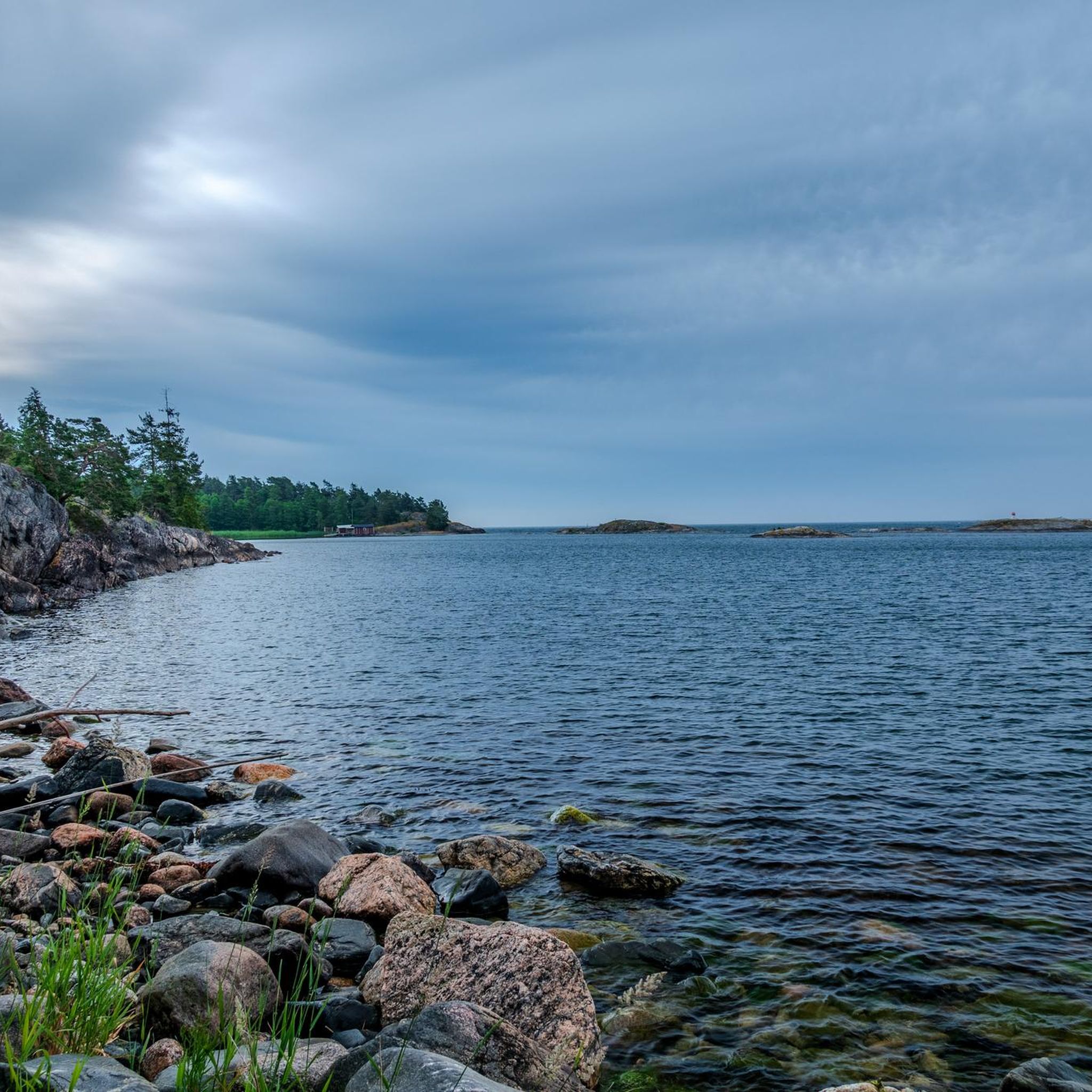
There is a nice sea-side shelter here at Svartåhällen with picnic tables and a fireplace next to it. From the shelter you have a great view of the sea.
0
0
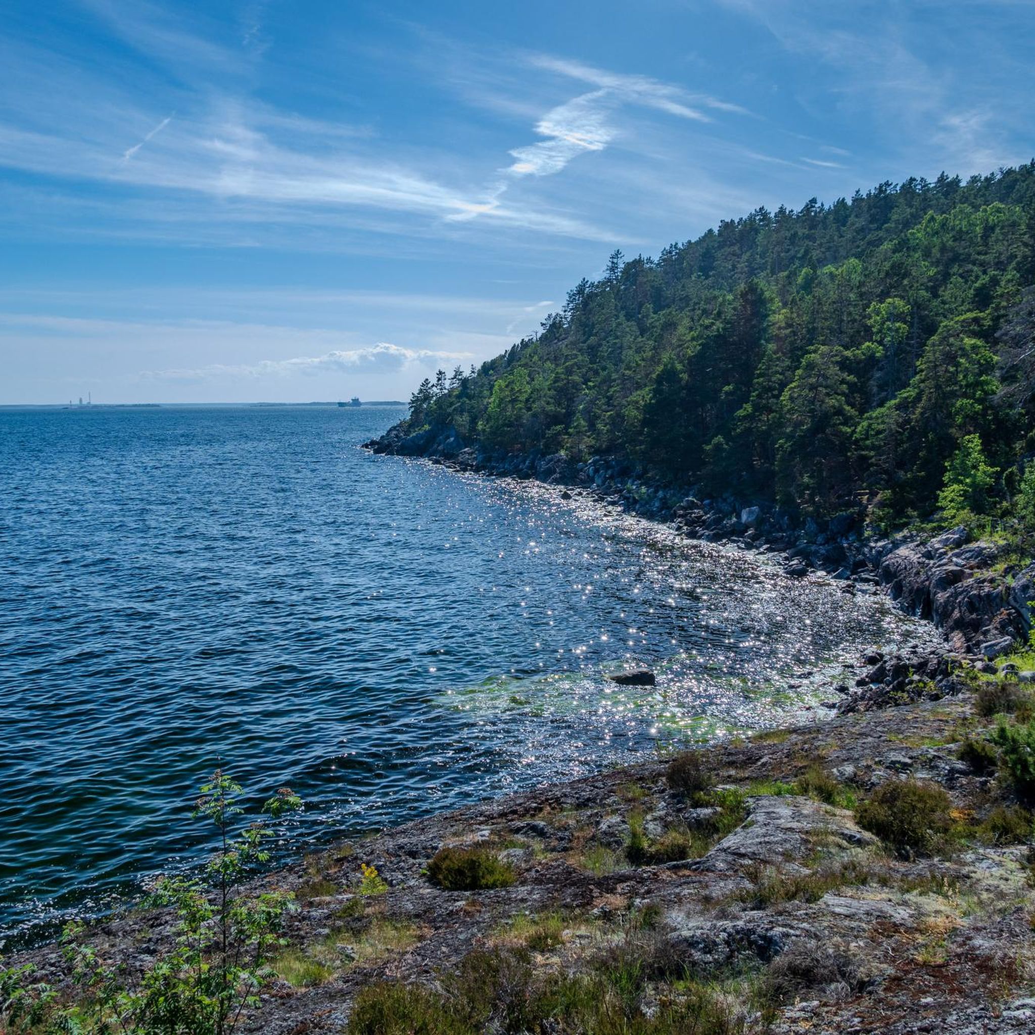
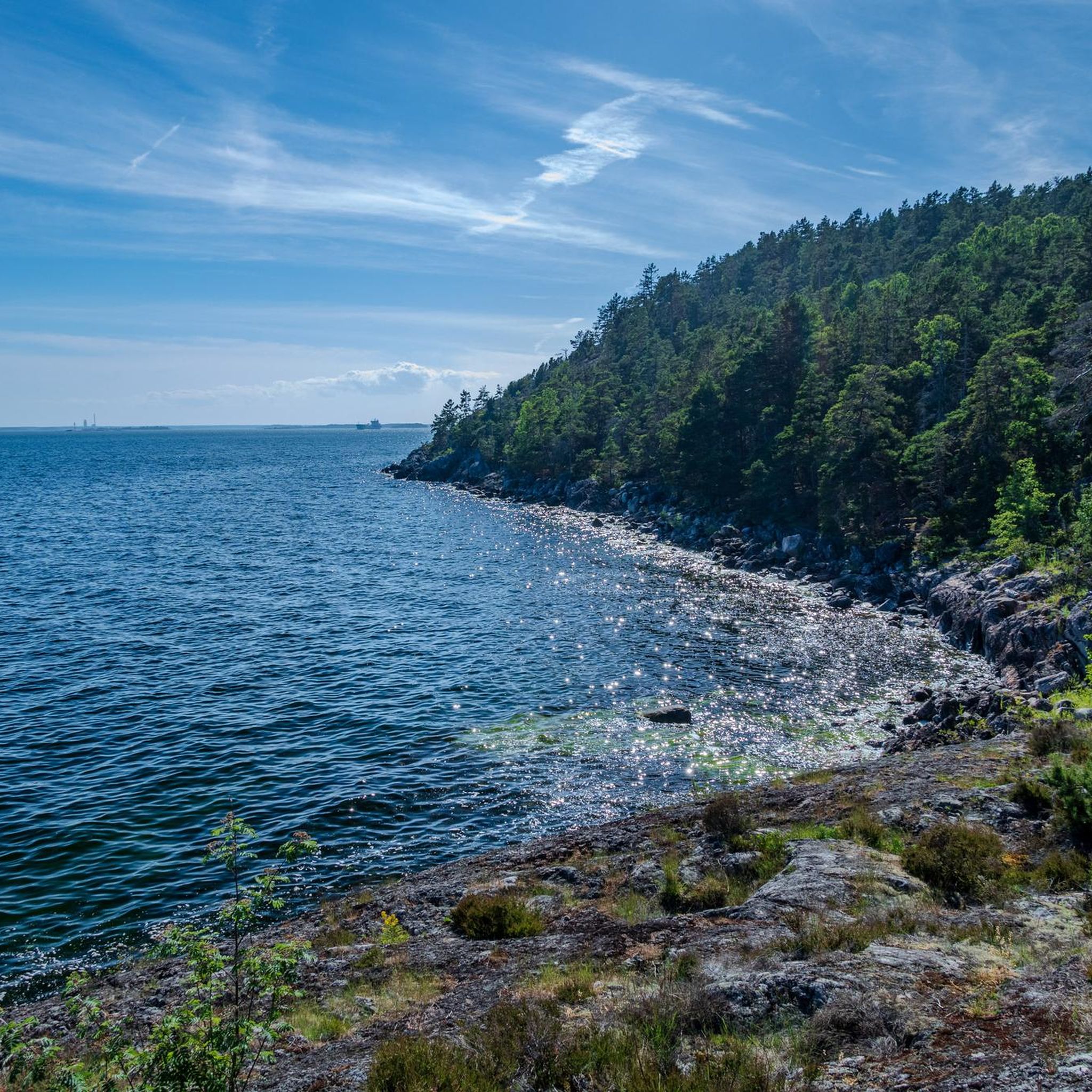
This is one of the more impressive views over the coastline along Bråviken bay. It is located ot the top of the Gullängsberget. The trail climbs steeply up to the top, but once at the top you can see quite far, even over several other neighbouring peaks.
0
0
Frequently Asked Questions
How many hiking trails are available in Bråvikens Naturreservat?
Bråvikens Naturreservat offers over 20 hiking trails, catering to various skill levels. You'll find a good mix of easy, moderate, and challenging routes to explore the diverse landscapes.
What kind of terrain can I expect when hiking in Bråvikens Naturreservat?
The terrain in Bråvikens Naturreservat is remarkably varied. You can expect dramatic fault scarps, ancient forests with large pines, rocky meadows, and lush stream valleys. Some areas feature rough, untouched forests, while others offer more open heathlands.
Are there any waterfalls in Bråvikens Naturreservat?
Yes, the lush stream valleys within Bråvikens Naturreservat occasionally form small, impressive waterfalls, especially during spring when water levels are higher. These add a beautiful natural feature to your hike.
Are there family-friendly hiking options in Bråvikens Naturreservat?
Absolutely. The reserve has several easy trails suitable for families. For example, the Loop trail Gullängsberget is an easy 2.7-mile (4.4 km) route that traverses heathlands and forests, perfect for a shorter family outing.
Can I bring my dog on the hiking trails?
Generally, dogs are welcome on trails in Bråvikens Naturreservat, but they must be kept on a leash to protect wildlife and ensure a pleasant experience for all visitors. Always check local signage for any specific restrictions in certain areas.
Are there any circular hiking routes in the area?
Yes, Bråvikens Naturreservat features several circular routes. A popular choice is the Bench With a View of the Lake – Mellsjön shelter loop from Koppartorp, a moderate 9.0-mile (14.5 km) trail that takes you through ancient forests and varied terrain.
What landmarks or points of interest can I see along the trails?
Hikers can discover fascinating geological and historical sites. Notable landmarks include the dramatic fault scarp (Bråvikenbranten) with panoramic views, caves like Rövargrottan (Robber's Cave) and the adventurous Kopparbogrottan, and remnants of old mining areas such as the former Skeppsviks mines. Specific viewpoints at Högudden and Fyrberget also offer excellent photo opportunities.
How can I get to Bråvikens Naturreservat using public transport?
While specific public transport routes directly into the heart of the reserve might be limited, parts of the long-distance Sörmlandsleden trail pass through the reserves, such as stage 36 through Nävekvarns Klints Naturreservat. You may need to combine bus services with a walk or consider local taxi options from nearby towns like Norrköping or Nyköping to reach trailheads.
Is parking available at the trailheads?
Yes, the reserve provides parking facilities at key access points. A main parking lot is available where a land-based trail of just over four kilometers begins, making it convenient for visitors arriving by car.
What is the best time of year to visit Bråvikens Naturreservat for hiking?
The mild, equalizing climate influenced by the sea and south-facing slopes contributes to a long growing season, making spring, summer, and early autumn ideal for hiking. Spring offers lush greenery and potential waterfalls, while autumn provides beautiful foliage. Winter hiking is also possible, but trails may be icy or snowy.
Are there any challenging hikes for experienced hikers?
Yes, for those seeking a challenge, Bråvikens Naturreservat offers more demanding routes. The Bench With a View of the Lake – View from Simonberget loop from badplats Kovik is a difficult 12.4-mile (19.9 km) path that provides extensive views over Bråviken and is popular among experienced local hikers.
What facilities are available along the hiking trails?
For your comfort, the reserve provides wind shelters, barbecue spots, and picnic tables at various locations along the trails, perfect for breaks and enjoying the natural surroundings.
What do other hikers enjoy most about hiking in Bråvikens Naturreservat?
The area is highly rated by the komoot community, with an average score of 4.6 stars from over 130 reviews. Reviewers often praise the dramatic fault scarp views, the ancient, untouched forests, and the diverse landscapes that offer something for every hiker.
Most popular routes in Bråvikens Naturreservat

Get inspired with the komoot mobile app


Explore more
Browse the best Hikes in other regions.
