The 11 Most Amazing Peaks around Eisenberg (Pfalz)
Best mountain peaks around Eisenberg (Pfalz) are found within the rolling hills and forests of the North Palatinate region, offering elevated points for exploration. The area is characterized by the Palatinate Forest, providing a diverse landscape of natural beauty and historical significance. While Eisenberg (Pfalz) itself is not surrounded by towering mountains, it serves as a starting point for discovering notable elevated features. These include geological formations, historical sites, and panoramic viewpoints across the region.
Best mountain peaks around Eisenberg…
Last updated: July 7, 2026
Bismarck Tower on Peterskopf
Highlight • Monument
Showing Translation
Tip by

Kamelkopf Rock Formation
Highlight • Natural Monument
Translated by Google •
Tip by

Sign up now to discover places like this
Get recommendations on the best single tracks, peaks, & plenty of other exciting outdoor places.
Sign up for free
Krummholzer Stuhl (Roman quarry)
Highlight • Historical Site
Source (quoted verbatim): tourenplaner-rheinland-pfalz.de/de/punkt/felsen/krummholzer-stuhl/13353106/#caml=a14,1cgehp,86n3qd,0,0
Translated by Google •
Tip by

Schlagbaum Trail Junction
Highlight • Trail
The quickest and easiest way is via the Weilach (Leistadt district).
From there, many hikes and bike tours are possible in all directions.
Towards …
Translated by Google •
Tip by

Kieskautberg (461 m)
Highlight (Segment) • Summit
The Kieskautberg is a 461 m high mountain two kilometers south of Carlsberg.
Translated by Google •
Tip by

Sign up for free to discover even more peaks around Eisenberg (Pfalz).
Sign up for free
Already have an account?
Start today with a free account
Your next adventure awaits.
Login or Signup

Tips from the Community

This impressive rock on the Leininger Burgenweg actually looks a bit like a camel's head.
2
2

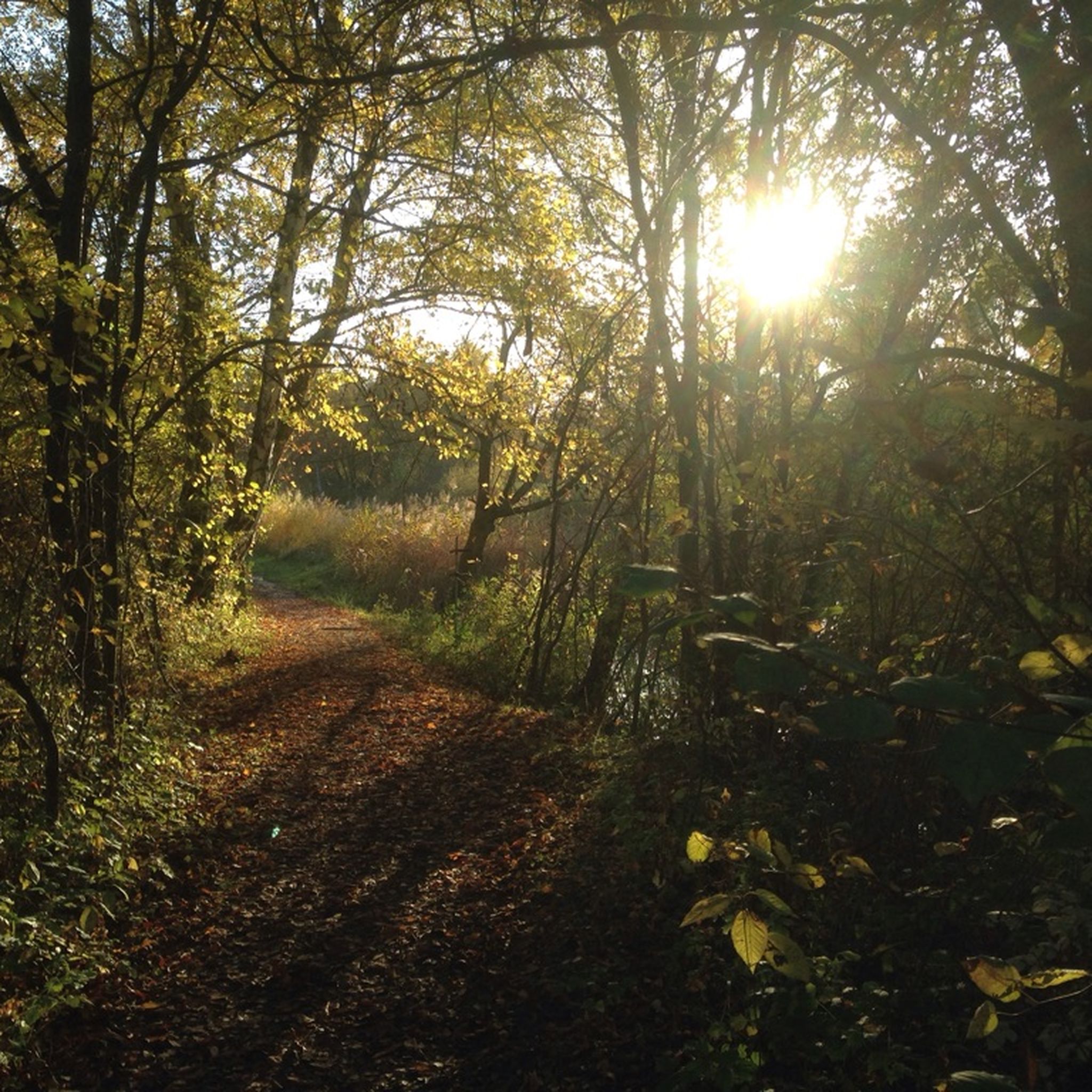
From the barrier, easy-to-drive forest roads branch off in all directions.
0
0

"The border between the Freinsheim collective municipality [south; you can see that from the 2 benches] and Grünstadt-Land [north] runs above the Kieskautberg." Source (quoted verbatim): https://www.tourenplaner-rheinland-pfalz.de/de/tour/wanderung/leininger-klosterweg-premiumwanderweg-mit-audio-und-video-stationen/12182719/
2
0


More than 1800 years ago the rock was used by the Romans as a quarry. Stone coffins are said to have been made from its stone, as well as parts of the city wall of the former imperial city of Worms am Rhein. In any case, the Krumholzer Stuhl also served as an important boundary mark for the Ganerben, as evidenced by numerous boundary marks in the stone. Source: https://www.pfalz.de/de/sehenswuerdigkeit/pfaelzerwald-krumholzerstuhl
4
0

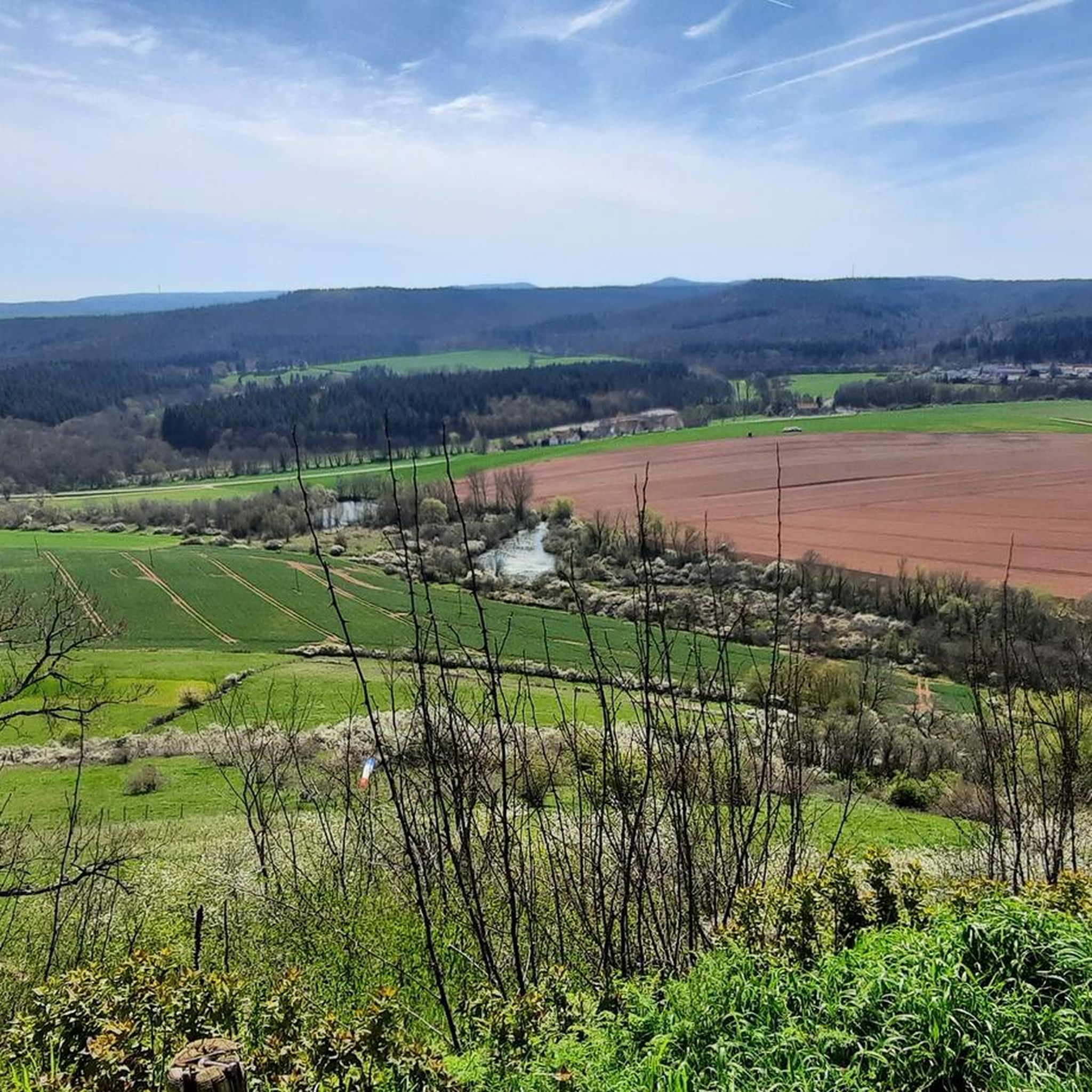
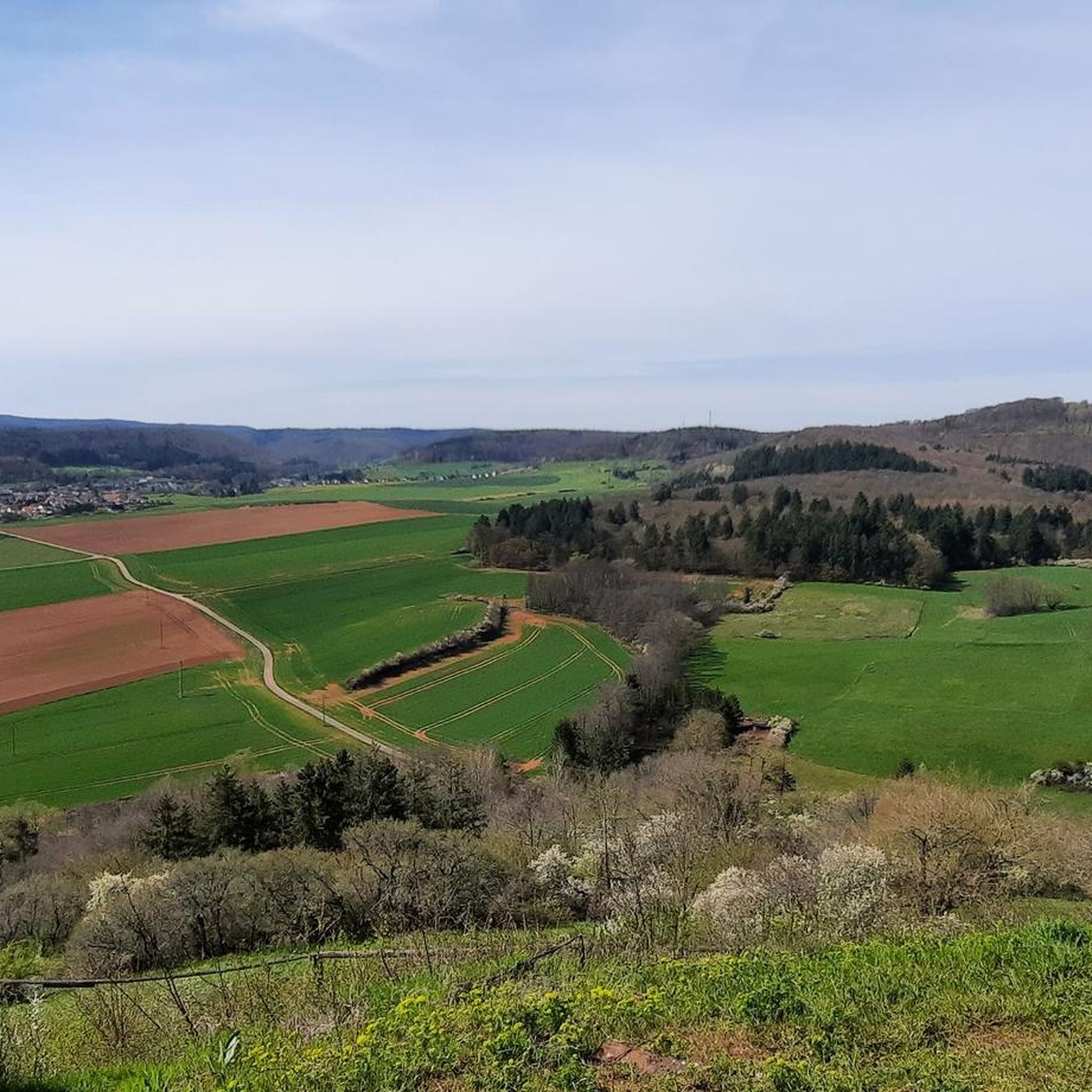
Unfortunately, the view is severely impaired by the foliage of the trees. Maybe the view is better in winter and spring.
1
0
In summer unfortunately no view from "above", but nice to walk. Boundary stones from 1838 and 1826 can also be found on this section.
1
0

If you know your way around or have a local guide, you have many interesting options from the impact area. E.g. Trail down to Hardenburg, or trail up to the Bismarck Tower.
3
0
Frequently Asked Questions
What are some unique natural features to explore among the peaks near Eisenberg (Pfalz)?
The region offers several distinctive natural features. The Kamelkopf Rock Formation near Altleiningen is a notable natural monument, an impressive red sandstone rock resembling a camel's head. Additionally, the Donnersberg, the highest peak in the Palatinate, is recognized as a National Geotope due to its unique volcanic origins approximately 300 million years ago.
Are there any historically significant peaks or elevated points in the region?
Yes, the Donnersberg is rich in history, featuring evidence of a significant Celtic settlement (oppidum) from around 150 BC. Visitors can explore reconstructed parts of the Celtic rampart ('Keltenwall') and ongoing archaeological excavations. The mountain's name itself is thought to derive from Donar, the Germanic god of thunder, or the Celtic word 'dunum' meaning mountain. You can also find historical man-made monuments like the Bismarck Tower on Peterskopf and the Bismarck Tower, Kallstadt, both built in honor of Otto von Bismarck.
Which peaks offer the best panoramic views around Eisenberg (Pfalz)?
For expansive views, the Donnersberg is highly recommended. From its highest point, the Königsstuhl (King's Seat), you can enjoy panoramic vistas of the surrounding Palatinate. The Adlerbogen at Moltkefels on the Donnersberg also provides fascinating distant views. The Bismarck Tower on Peterskopf and the Bismarck Tower, Kallstadt also offer fantastic views of the Palatinate Forest and the Rhine plain from their platforms.
Are there family-friendly options for exploring the elevated points near Eisenberg (Pfalz)?
Absolutely. The Hohe Loog, while its summit is wooded, has the nearby Hohe Loog House which is a popular stop for hikers and families. It features a large playground with an adventure area, giant slide, trampoline, and climbing frames. The Lindemannsruhe Forest Inn is also considered family-friendly, offering a place to rest and enjoy the surroundings. Many trails, including those leading to the Hohe Loog, are suitable for families.
What kind of outdoor activities can I do on or around the peaks near Eisenberg (Pfalz)?
The region is excellent for outdoor enthusiasts. The Donnersberg features numerous hiking trails, including parts of the European walking route E8, and guided geo-tours. You can also find various routes for gravel biking, mountain biking, and running. For example, explore routes like the "Ludwigsplatz Trail – Kriegsberg Hut (PWV Göllheim) loop from Eisenberg (Pfalz)" for mountain biking or the "Ebertsheim Run – Renaturation Area loop from Eisenberg (Pfalz)" for running. You can find more details on these activities in the Gravel biking around Eisenberg (Pfalz), MTB Trails around Eisenberg (Pfalz), and Running Trails around Eisenberg (Pfalz) guides.
What is the highest peak in the broader Palatinate region near Eisenberg (Pfalz)?
The highest peak in the broader Palatinate region is the Donnersberg, reaching an elevation of 687 meters (2,254 feet) above sea level. It is a prominent feature within the Donnersbergkreis district, which is named after the mountain.
How can I access the Donnersberg, and what are its main attractions?
The Donnersberg is accessible via numerous hiking trails. It offers a rich blend of history with its Celtic settlement remains and reconstructed ramparts, unique geology as a National Geotope, and panoramic views from points like the Königsstuhl. It's a paradise for hikers and nature lovers, with guided geo-tours available. For more information on the Donnersberg, you can visit rlp-tourismus.com.
Are there places to eat or rest near the mountain peaks?
Yes, several spots offer refreshments and rest. The Lindemannsruhe Forest Inn is a popular hut and restaurant located on an elevated point, providing a place to rest and enjoy the surroundings with a large outdoor area. The Hohe Loog House, near the Hohe Loog mountain, also serves as a popular stop for hikers. Additionally, the Bismarck Tower, Kallstadt has a kiosk offering warm food and cakes.
What are some recommended hiking routes around the peaks near Eisenberg (Pfalz)?
The Donnersberg features numerous hiking trails, including parts of the European walking route E8. For the Hohe Loog, various trails lead to the summit from Neustadt, Hambach Castle, and Maikammer. The Schlagbaum Trail Junction is a big crossroads from where you can take well-signposted hiking trails to Lindemannsruhe, Bismarck Tower, and Bad Dürkheim. You can find more detailed hiking routes in the Running Trails around Eisenberg (Pfalz) guide, which includes many walking paths.
What is the best time of year to visit the peaks around Eisenberg (Pfalz)?
The Palatinate Forest region, including the peaks around Eisenberg (Pfalz), offers beauty throughout the year. Spring and autumn are particularly pleasant for hiking due to milder temperatures and vibrant foliage. Summer provides longer daylight hours for extended exploration, while winter can offer a unique, serene experience, though conditions may require appropriate gear.
How accessible are the peaks by public transport or car?
Many elevated points and trailheads are accessible by car, often with dedicated parking areas. For instance, the Lindemannsruhe Forest Inn is right next to a large parking lot. Public transport options also exist; for example, there is a bus connection (line 489) to Lindemannsruhe from DÜW train station. It's advisable to check local transport schedules for specific routes and destinations.
What makes the Hohe Loog a popular destination?
The Hohe Loog is popular primarily due to the Hohe Loog House, which serves as an excellent rest stop for hikers. It offers outstanding views of the Kalmit massif and the Rhine Valley, despite the summit itself being wooded. Its large playground with an adventure area, giant slide, trampoline, and climbing frames makes it a fantastic family destination. It's also a hub for various hiking trails from nearby towns.
Most popular routes around Eisenberg (Pfalz)
Most popular attractions around Eisenberg (Pfalz)

Get inspired with the komoot mobile app


Explore more
See even more amazing summits around Eisenberg (Pfalz) with these guides:
