The best cycling routes in Brattås Naturreservat
5.0
(1)
61
riders
11
rides
Touring cycling routes in Brattås Naturreservat traverse a hilly landscape characterized by crack valleys, marshes, and small tarns. Elevations within the reserve range from 80 to 214 meters above sea level, contributing to varied terrain. The area features a relatively young forest of pine, aspen, and birch, with rocky sections on hills. The reserve borders the Halden watercourse, offering routes that combine natural forest regeneration areas with waterside sections.
Best touring cycling routes in Brattås Naturreservat
- The most popular touring…
Last updated: July 12, 2026
12
riders
24.3km
02:02
230m
230m
Hard bike ride. Good fitness required. You may need to push your bike for some segments of this route.
17
riders
41.4km
03:28
480m
480m
Hard bike ride. Very good fitness required. You may need to push your bike for some segments of this route.

Sign up for free
5.0
(1)
7
riders
57.8km
03:34
590m
590m
Hard bike ride. Very good fitness required. Mostly paved surfaces. Suitable for all skill levels.
2
riders
26.6km
01:54
290m
290m
Hard bike ride. Good fitness required. You may need to push your bike for some segments of this route.
4
riders
54.8km
03:51
510m
510m
Hard bike ride. Very good fitness required. Mostly paved surfaces. Suitable for all skill levels.
Get access to more routes and recommendations from other explorers.
Sign up for free
Already have an account?
Our route recommendations are based on thousands of hikes, rides, and runs completed by other people on komoot.
Start today with a free account
Your next adventure awaits.
Login or Signup
Tips from the Community

Camping is permitted overnight from 9 p.m. to 10 a.m. There are restrooms and tables with benches.
1
0


The opposite of Simon & Garfunkel's ballad, this is about as calm a scene as there is. Enjoy the peace and water views as you whizz across the bridge.
0
0
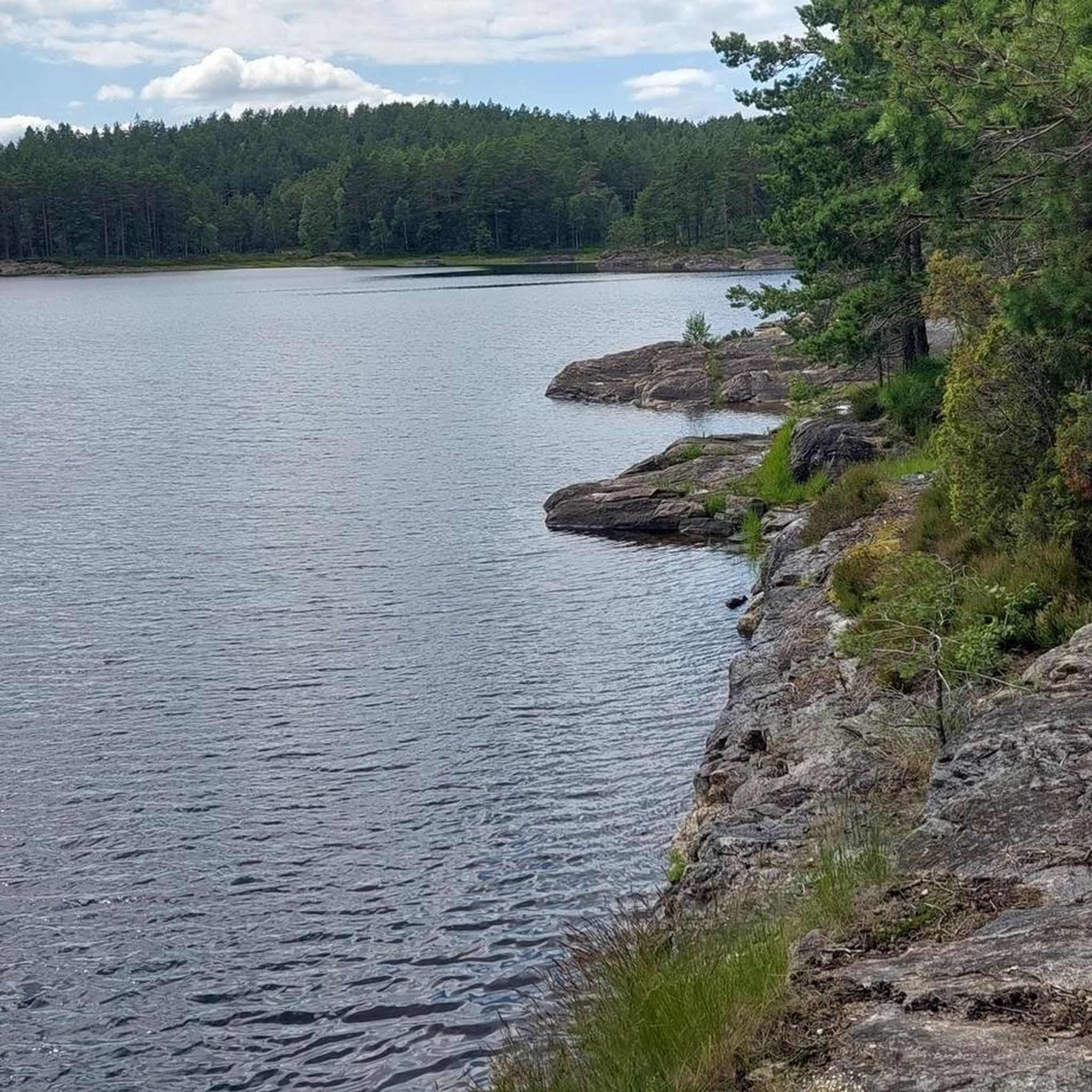
A quiet and secluded beach that makes for a perfect rest stop. Swimming is a delight if the weather is good, or just enjoy the serene water.
0
0

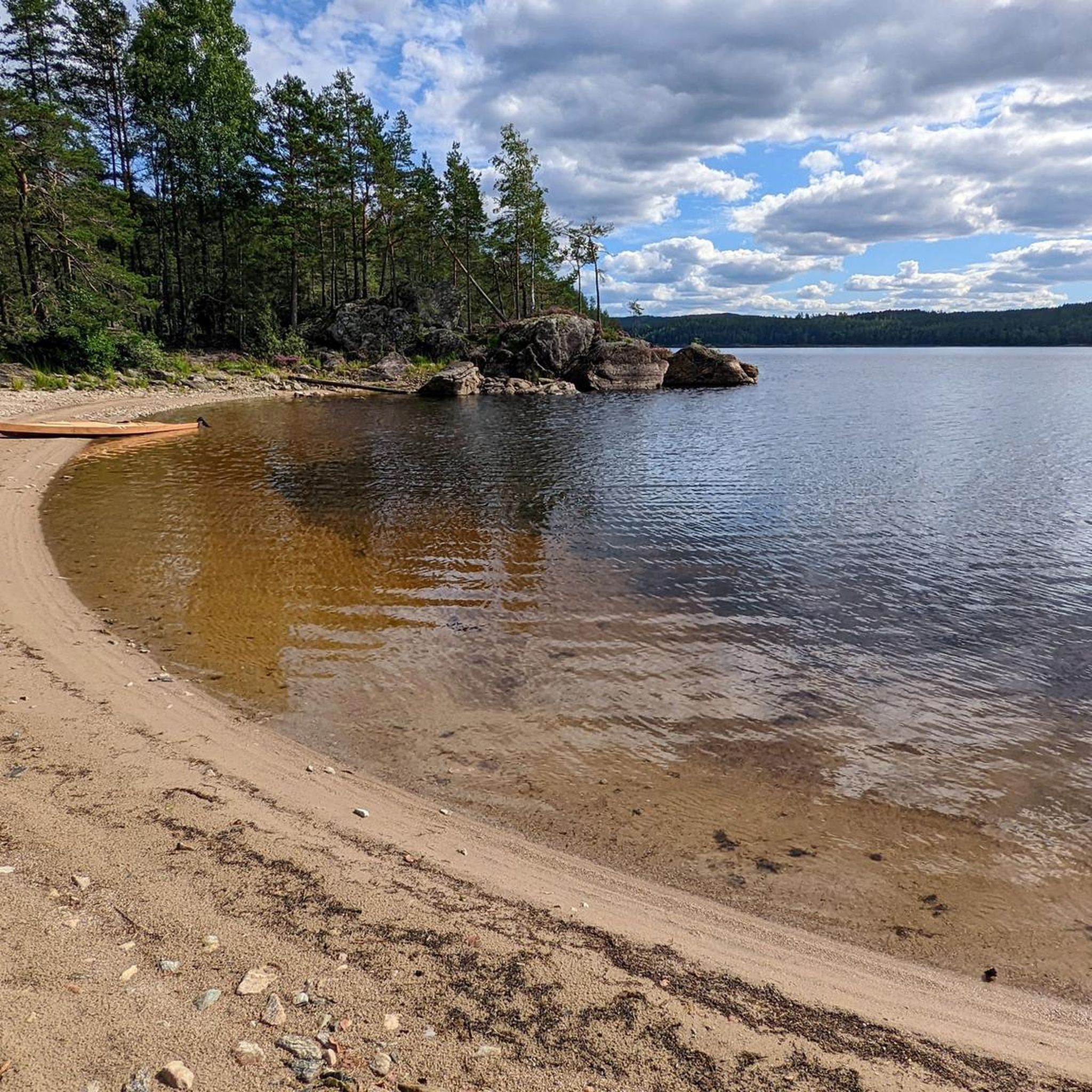
Vanninga is a beach situated on the shores of the large Femsjøen lake. It's a nice spot if you're looking for a place to swim or relax by the water during your tour. Easily accessible, it makes for a convenient break, especially on warm days
0
0
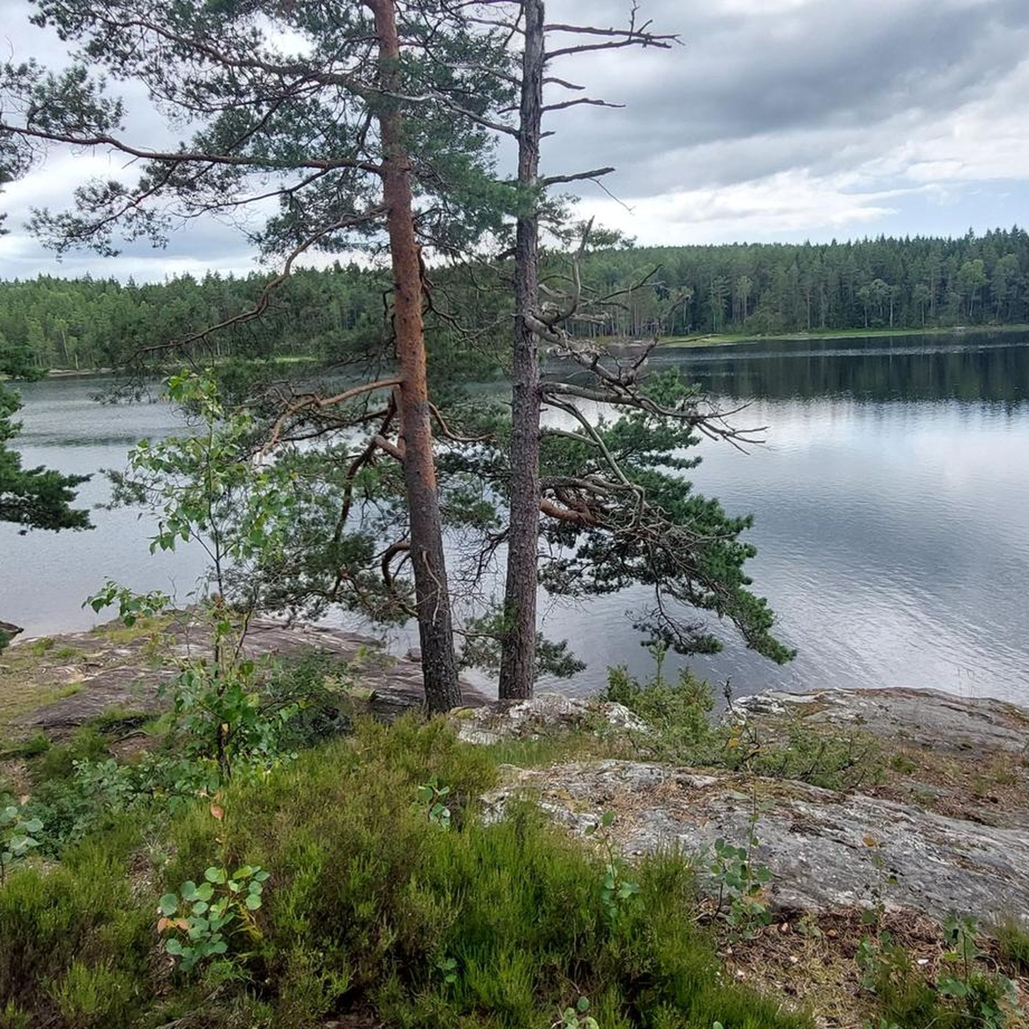
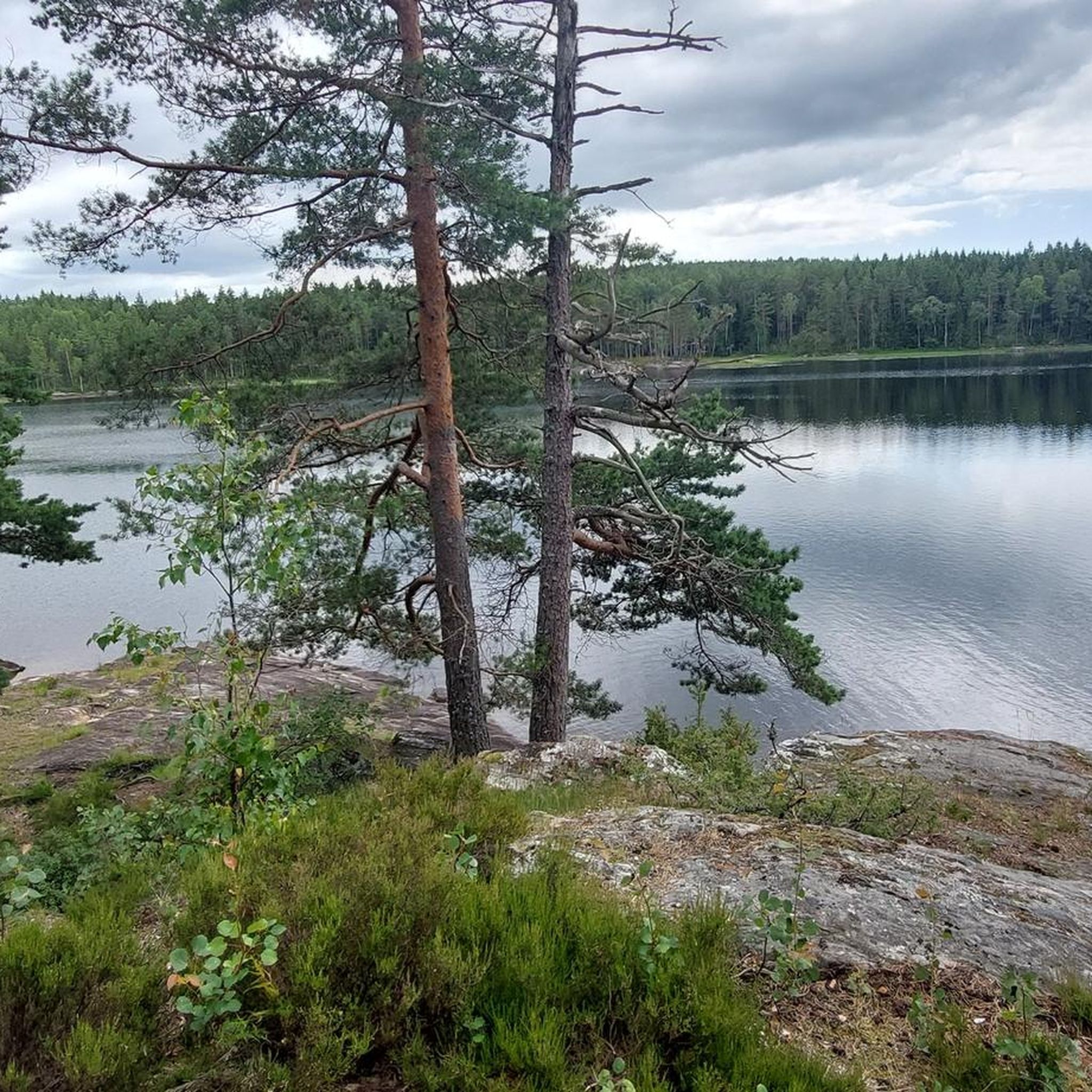
Trollnestjernet is a small forest lake near the Swedish border. Reaching its shore can be a nice goal to take a break on your tour. The paths leading here wind through typical Scandinavian woodland, and you can enjoy the quiet atmosphere by the water before continuing through the surrounding nature.
0
0

When I visited in July 2024, this was a rather large and loud party campsite; I was also not spared a karaoke evening! There was a "food truck" on the camping area with the delicious smell of a deep fryer. So maybe it's better to plan a backup solution.
0
0
Frequently Asked Questions
How many touring cycling routes are available in Brattås Naturreservat?
Brattås Naturreservat offers 11 touring cycling routes. These routes vary in length and difficulty, providing options for different cycling preferences within the reserve's unique landscape.
What is the typical terrain like for touring cyclists in Brattås Naturreservat?
The terrain in Brattås Naturreservat is generally hilly, characterized by crack valleys, marshes, and small tarns. Elevations range from 80 to 214 meters above sea level. While some routes may be on paved or well-maintained gravel surfaces, the region's natural features suggest that some paths might be unpaved, uneven, or involve obstacles. Cyclists should be prepared for varied conditions, including rocky sections and younger forest growth.
Are there any easier touring cycling routes for beginners or less experienced cyclists?
While Brattås Naturreservat is known for its challenging terrain, there are 4 routes rated as 'moderate' in difficulty. The remaining 7 routes are classified as 'difficult', often featuring significant elevation gain. Less experienced cyclists should review route details carefully to choose a path that matches their ability.
What natural features or landmarks can I expect to see along the cycling routes?
Cyclists can experience a landscape shaped by an old forest fire, showcasing natural forest regeneration with pioneering species like aspen and birch. You'll encounter hilly areas, crack valleys, marshes such as Harelundmosen, and small tarns. The reserve also borders the Halden watercourse (Stenselva) to the south, which includes attractions like Brekke locks and Brekke power station nearby.
Are there any circular touring cycling routes in Brattås Naturreservat?
Yes, many of the touring cycling routes in Brattås Naturreservat are designed as loops. For example, you can explore the Bordtjernhaugen – Seterhaugen loop from Lilledal, a 24.3 km difficult route, or the longer Bordtjernhaugen – Brennehøyda loop from Tistedal, which covers 42.2 km.
What do other touring cyclists say about their experience in Brattås Naturreservat?
The touring cycling routes in Brattås Naturreservat are highly rated by the komoot community, with an average score of 5.0 stars. Cyclists often appreciate the unique post-fire forest landscape, the varied and challenging terrain, and the opportunity to explore a less-intervened natural environment.
Is Brattås Naturreservat suitable for family cycling trips?
Given the hilly terrain and the fact that most routes are rated moderate to difficult, Brattås Naturreservat might be more suitable for families with older children or those accustomed to more challenging cycling. Some routes may involve mixed terrain, which could be less comfortable for very young children or those on standard touring bikes. Always check individual route details for elevation and surface type.
Where can I park my car when visiting Brattås Naturreservat for cycling?
While specific parking areas within the reserve are not detailed, the Halden municipality, where Brattås Naturreservat is located, is known for being bicycle-friendly. Visitors typically find parking in nearby towns or designated areas at trailheads. It's advisable to check local signage or visitor information for the most convenient parking options before your visit.
Can I reach Brattås Naturreservat by public transport for cycling?
Information on direct public transport links to the heart of Brattås Naturreservat is limited. However, the reserve is located near Halden, a city that serves as a starting point for various cycling tours and has public transport connections. You may need to cycle from the nearest public transport stop to reach the reserve's trailheads.
What is the best time of year to go touring cycling in Brattås Naturreservat?
The best time for touring cycling in Brattås Naturreservat is generally during the warmer months, from late spring to early autumn. During this period, the weather is more stable, and trails are less likely to be affected by snow or ice, which can make the hilly and potentially rocky terrain more challenging. Always check local weather conditions before heading out.
Are there any longer touring cycling routes that extend towards the Sweden-Norway border?
Yes, there is a significant route that takes you towards the border. The Trollnestjernet – Sweden–Norway Border loop from Tistedal is a difficult 57.8 km trail that leads through forested areas and towards the national border, offering an extensive cycling experience.
Are dogs allowed on the touring cycling routes in Brattås Naturreservat?
Brattås Naturreservat is a natural reserve, and generally, dogs are permitted on trails if kept on a leash. However, specific rules can vary, especially concerning wildlife protection. It's always best to check local regulations or visitor information for Brattås Naturreservat to ensure compliance and a pleasant experience for everyone.
Most popular routes in Brattås Naturreservat

Get inspired with the komoot mobile app


Explore more
Browse the best Cycling routes in other regions.
