The best walks and hikes around Hiltenfingen
4.5
(605)
3,042
hikers
633
hikes
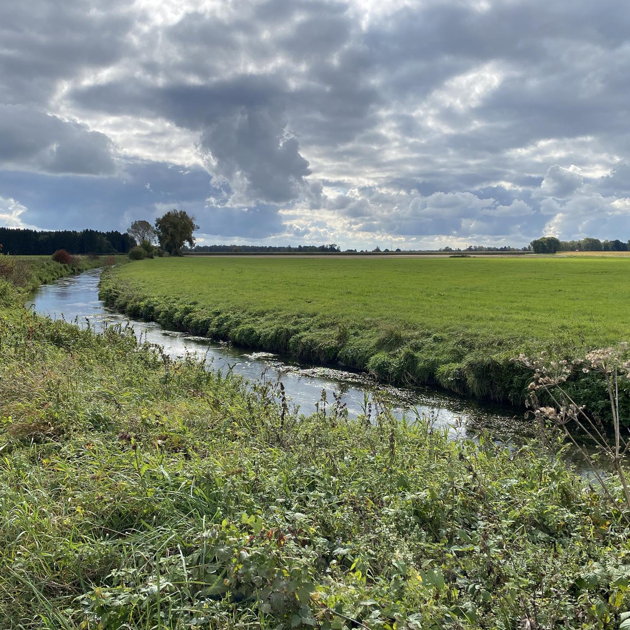
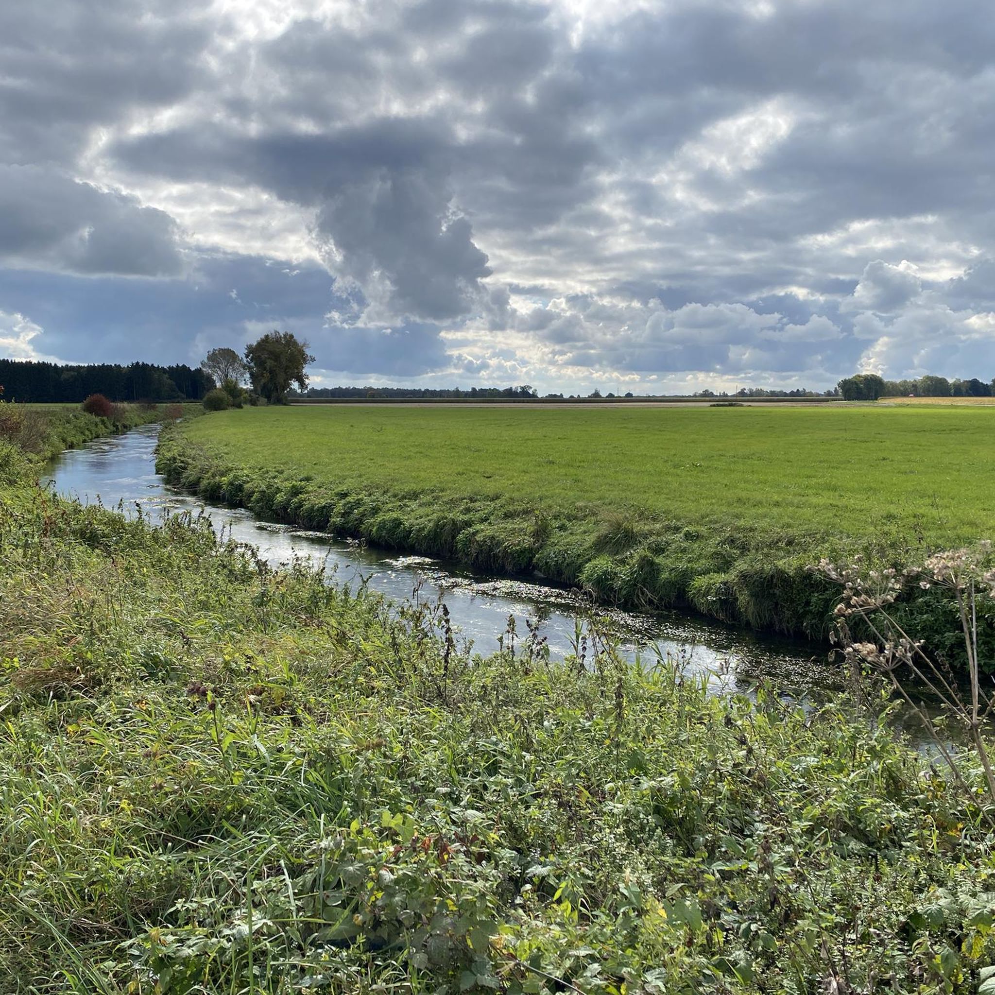
Hiking around Hiltenfingen, a municipality in Bavaria, Germany, offers routes through a charming landscape characterized by the Wertach river and its surroundings. The area features lush countryside, including the Härtle Forest, and borders the Lechfeld. Trails often follow the riverbanks, providing access to natural features and wooded areas.
Best hiking trails around Hiltenfingen
- The most popular hiking route is Scenic Path Along the Wertach River – Wertach Riverside Area loop from Hiltenfingen, a 4.2 miles (6.8 km) trail that…
Last updated: July 10, 2026
4.5
(37)
190
hikers
Easy hike. Great for any fitness level. Easily-accessible paths. Suitable for all skill levels.
4.5
(37)
188
hikers
Easy hike. Great for any fitness level. Easily-accessible paths. Suitable for all skill levels.

Sign up for free
4.5
(10)
28
hikers
Easy hike. Great for any fitness level. Easily-accessible paths. Suitable for all skill levels.
4.6
(7)
35
hikers
Moderate hike. Good fitness required. Easily-accessible paths. Suitable for all skill levels.
5.0
(2)
31
hikers
Moderate hike. Good fitness required. Easily-accessible paths. Suitable for all skill levels.
Get access to more routes and recommendations from other explorers.
Sign up for free
Already have an account?
Our route recommendations are based on thousands of hikes, rides, and runs completed by other people on komoot.
Start today with a free account
Your next adventure awaits.
Login or Signup

Tips from the Community

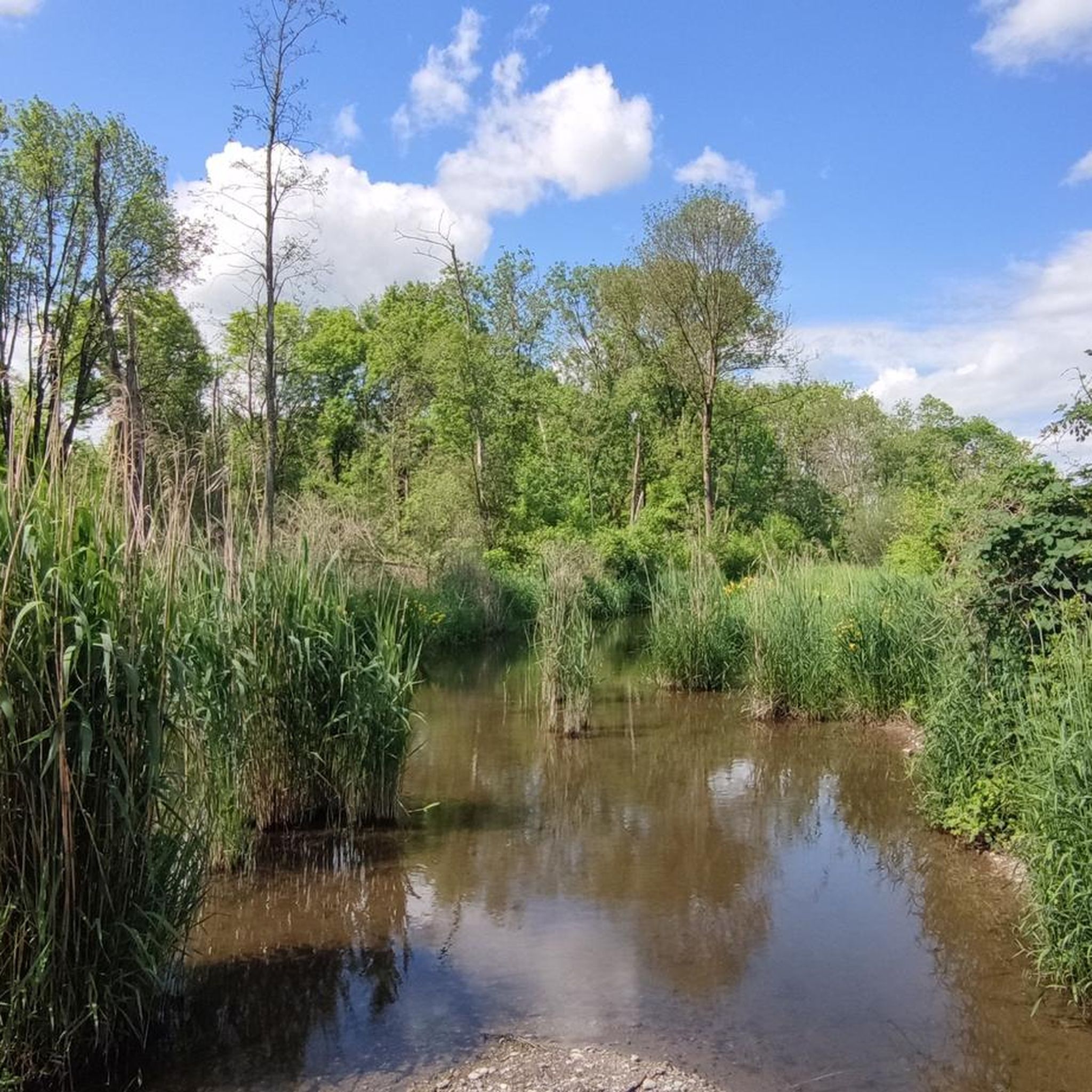
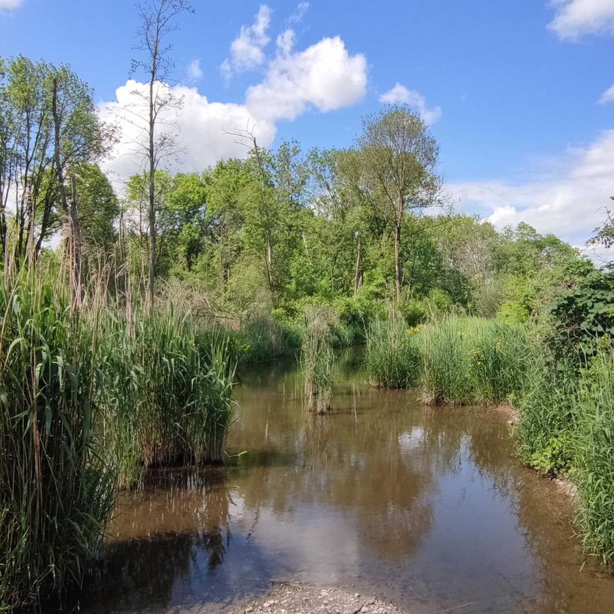
Newly created riverbank area. Flat access to the Wertach.
0
0

The straightening of the Wertach caused the groundwater level to drop significantly and the aim was to counteract this negative development by building the sill power stations. This went online in 1956 and has been supplying electrical energy for 68 years since then.
1
0

On the east side there is a fish pass to the north so that the fish can overcome the weir. There is also a connection to the Feld Gießgraben, whose water comes from the Singold (diversion south of the outdoor pool).
1
0

Another beautiful section of the dam for hiking can also be found from the Wertachsteg east of Bad Wörishofen to Schlingen
1
1

Meanwhile closed to cyclists, right next to it is a normal dirt road that can be used
3
0

Memorial stone erected for the construction of the bridge
0
0
The bridge is pretty narrow
0
0

An interesting detour from the bike path
3
1
Frequently Asked Questions
How many hiking trails are available in Hiltenfingen?
Hiltenfingen offers a variety of hiking opportunities, with over 10 distinct trails recorded on komoot. These routes cater to different preferences, ranging from easy riverside strolls to more moderate forest paths.
What kind of terrain can I expect on hikes around Hiltenfingen?
The terrain around Hiltenfingen is characterized by its charming landscape, primarily featuring paths along the Wertach river and through lush countryside. You'll find trails winding through wooded sections like the Härtle Forest, as well as open areas bordering the Lechfeld. Most routes have minimal elevation changes, making them generally accessible.
Are there easy hiking options suitable for beginners or families?
Yes, Hiltenfingen has several easy hiking options perfect for beginners and families. For instance, the Scenic Path Along the Wertach River – Wertach Riverside Area loop from Hiltenfingen is an easy 6.8 km path that follows the picturesque Wertach river. Another great choice is the Gennach Estuary – Scenic Path Along the Wertach River loop from Hiltenfingen, an easy 5.0 km route exploring the Gennach estuary.
Can I find circular hiking routes in Hiltenfingen?
Absolutely. Many of the hiking trails in Hiltenfingen are designed as circular routes, allowing you to start and end at the same point. Examples include the Scenic Path Along the Wertach River – Bridge Over the Stream Cascade loop from Hiltenfingen, which is a moderate 11.2 km loop, and the Forest Path With Mushrooms loop from Hiltenfingen, an 11.0 km moderate trail.
Are dogs allowed on the hiking trails in Hiltenfingen?
Generally, dogs are welcome on hiking trails in the Hiltenfingen area, especially in the natural countryside and forest paths. However, it's always recommended to keep your dog on a leash, especially when passing through agricultural areas, near wildlife, or in more populated sections, to ensure the safety and comfort of everyone.
What natural features or landmarks can I see while hiking in Hiltenfingen?
Hiking in Hiltenfingen offers views of the Wertach river and its charming surroundings. You can explore the Härtle Forest, which holds a rectangular Celtic redoubt, adding a historical dimension to your walk. Nearby natural highlights include the Haltenberger Aue Beaver Habitat and various sections of the Lech River, such as Lech Dam 19.
Are there any historical sites to explore on the trails?
Yes, the Härtle Forest, a prominent wooded area in Hiltenfingen, is home to a rectangular Celtic redoubt (Keltenschanze). This archaeological feature provides an interesting historical point of interest for hikers exploring the region's natural beauty.
Where can I park when visiting hiking trails in Hiltenfingen?
While specific parking areas for each trail are not always marked, you can typically find parking in and around the municipality of Hiltenfingen, particularly near trailheads or public access points. Look for designated parking spaces in the village or along main roads where trails begin.
How can I reach the hiking trails in Hiltenfingen using public transport?
Hiltenfingen is connected to the regional public transport network, primarily via bus services. You can plan your journey to Hiltenfingen from larger towns like Augsburg. Once in the municipality, many trails are accessible directly from the village center or a short walk from bus stops.
What is the best time of year to go hiking in Hiltenfingen?
The best time for hiking in Hiltenfingen is generally from spring through autumn (April to October). During these months, the weather is usually pleasant, and the natural landscape is at its most vibrant. Spring brings blooming flora, summer offers warm days for riverside walks, and autumn showcases beautiful foliage in the forests.
What do other hikers enjoy the most about hiking in Hiltenfingen?
The hiking routes in Hiltenfingen are highly rated by the komoot community, with an average score of 4.5 stars from over 500 reviews. Hikers often praise the peaceful riverside paths along the Wertach, the lush green countryside, and the well-maintained trails that offer a relaxing outdoor experience.
Are there any castles or historical buildings nearby that I can visit?
Yes, the region around Hiltenfingen is dotted with historical castles. While hiking, you might consider visiting nearby sites such as the Haltenberg Castle Ruins, Guggenberg Castle, or Markt Wald Castle, which offer glimpses into the area's rich history.
Most popular routes around Hiltenfingen
Most popular attractions around Hiltenfingen

Get inspired with the komoot mobile app


Explore more
Browse the best Hikes in other regions.
