The best walks and hikes in Longavatnet Naturreservat
4.2
(7081)
40,673
hikers
59
hikes
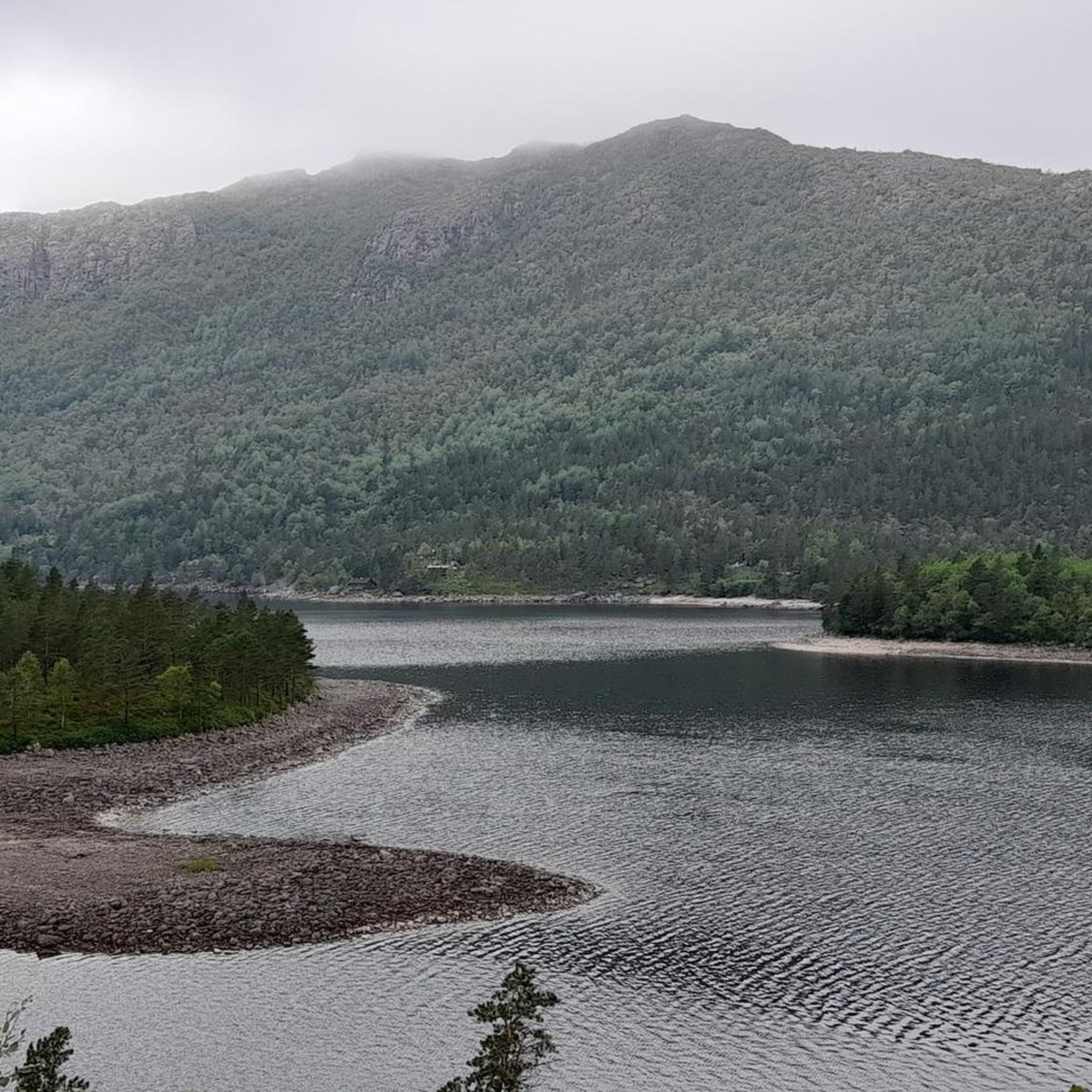
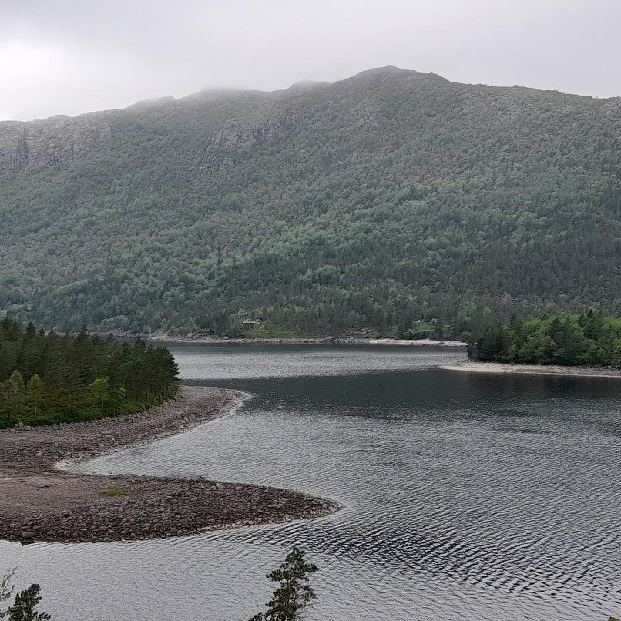
Hiking trails in Longavatnet Naturreservat traverse a high-lying valley, situated between 360 and 500 meters above sea level, characterized by surrounding peaks and moraine-rich low moors. The landscape features significant lakes such as Furenesvatnet and Longavatnet, which are central to the area's scenic beauty. An old-growth coastal pine forest, known for its "rainforest character" and trees over 400 years old, covers parts of the reserve, offering varied terrain for exploration.
Best hiking trails in Longavatnet Naturreservat
- The most popular hiking route is View of Lysefjord – Bakken Gard DNT Cabin loop from Bakken, a 3.1 miles (5.0 km) trail that takes 1 hour 45 minutes to complete, offering views of Lysefjord.
- Another top favourite among local hikers is View of Liarvatnet – Heiahorn Summit loop from Fureneset, a difficult 4.8 miles (7.7 km) path leading to the Heiahorn Summit with views of Liarvatnet.
- Local hikers also love the View of the Mountains – View of Liarvatnet loop from Fureneset, a 5.9 miles (9.4 km) trail leading through mountainous terrain, often completed in about 3 hours 22 minutes.
- Hiking in Longavatnet Naturreservat is defined by high-lying valleys, ancient coastal pine forests, and panoramic mountain and lake views. The network offers options for various ability levels, from easy paths to more demanding routes.
- The routes in Longavatnet Naturreservat are highly rated by the komoot community with an average score of 4.3 stars from over 6,500 reviews. More than 38,000 hikers have used komoot to explore Longavatnet Naturreservat's varied terrain.
Last updated: July 12, 2026
2
hikers
4.99km
02:06
270m
260m
Moderate hike. Good fitness required. Mostly accessible paths. Sure-footedness required.
4.8
(13)
74
hikers
7.69km
03:22
450m
450m
Hard hike. Good fitness required. Sure-footedness, sturdy shoes and alpine experience required.

Sign up for free
5.0
(2)
27
hikers
9.30km
03:21
330m
330m
Moderate hike. Good fitness required. Mostly accessible paths. Sure-footedness required.
4.3
(4)
26
hikers
9.03km
03:10
430m
430m
Moderate hike. Good fitness required. Mostly accessible paths. Sure-footedness required.
5.0
(2)
7
hikers
9.14km
03:04
330m
330m
Moderate hike. Good fitness required. Mostly accessible paths. Sure-footedness required.
Get access to more routes and recommendations from other explorers.
Sign up for free
Already have an account?
Our route recommendations are based on thousands of hikes, rides, and runs completed by other people on komoot.
Start today with a free account
Your next adventure awaits.
Login or Signup
Popular around Longavatnet Naturreservat
Tips from the Community

The climb is difficult for “normal hikers”. In some places you're more likely to be scrambling over rocks than hiking. Surefootedness is important. In this part over the mountains the path is reliably marked with a red dot. But be careful! All paths have a red dot. Leaving the app on protects you from unpleasant surprises. 🙂
0
0

Beautiful, unspoilt countryside with a few sheep whose bells can be heard from afar. When the weather is dry, the field is easy to walk on, sometimes even swampy. In rainy weather maybe a little more difficult and to be enjoyed with more caution. There is no way.
1
0
An extremely demanding path that requires hiking experience. Partly with climbing parties
1
0
Fantastic view even in overcast weather! The trail is a dream for experienced hikers!
0
0

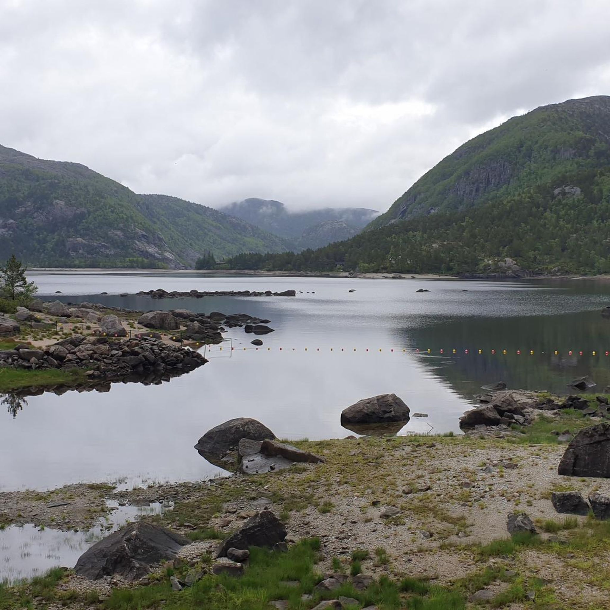
There is a large car park and water sports providers right on the lake, and a camp for young people not far away.
1
0
Very close to Liarvatnet there is another smaller lake, the much smaller Dalavatnet, which is a bit calmer.
1
0
Hi Mikael, I have some questions about the route. How can I write you a message? Mail, telegram? LG
0
0

On the small mountain next to the Bakken Gard hut you have a wonderful view of the Lysefjord. With binoculars you can even see the Preikestolen.
0
0
Frequently Asked Questions
How many hiking trails are available in Longavatnet Naturreservat?
Longavatnet Naturreservat offers a diverse network of nearly 60 hiking trails. These routes cater to various skill levels, from easy paths to more demanding treks, ensuring options for every hiker.
What kind of terrain and natural features can I expect to see while hiking?
The reserve features a high-lying valley with elevations between 360 and 500 meters, surrounded by peaks and moraine-rich low moors. You'll encounter significant lakes like Furenesvatnet, Longavatnet, Liarvatnet, and Dalavatnet. A notable feature is the large, ancient coastal pine forest, some trees over 400 years old, exhibiting a 'rainforest character' rich in mosses. Panoramic mountain and lake views are common, and some trails even offer glimpses of Lysefjord.
Are there any easy hikes suitable for beginners or families?
Yes, Longavatnet Naturreservat has 13 easy trails. An excellent option for a less strenuous outing is the View of Lysefjord – Bakken Gard DNT Cabin loop from Bakken, which is 5.0 km long and offers views of Lysefjord.
What are the most challenging hikes in the area?
For experienced hikers seeking a challenge, there are 16 difficult trails. A particularly demanding route is the View of Liarvatnet – Heiahorn Summit loop from Fureneset. This 7.7 km path leads to the Heiahorn Summit, offering stunning views of Liarvatnet and requiring good fitness and sure-footedness.
What do other hikers enjoy most about Longavatnet Naturreservat?
The area is highly rated by the komoot community, with an average score of 4.3 stars from over 6,500 reviews. Hikers frequently praise the unspoiled countryside, the panoramic mountain and lake views, and the diverse terrain that offers a rewarding experience for all skill levels.
Are there any circular hiking routes available?
Yes, many trails in Longavatnet Naturreservat are circular. For example, the View of the Mountains – View of Liarvatnet loop from Fureneset is a popular 9.4 km circular trail that takes you through mountainous terrain.
Can I bring my dog on the hiking trails?
While the region is generally welcoming to dogs, it's important to check local regulations regarding leash laws, especially during lambing season or in nature reserves. The presence of sheep in the area means dogs should be kept under strict control.
What is the best time of year to visit Longavatnet Naturreservat for hiking?
The best time to visit for hiking is typically during the warmer months, from late spring to early autumn (May to September), when the trails are clear of snow and the weather is most favorable. This allows for comfortable exploration of the diverse landscapes and ancient forests.
Is parking available at the trailheads?
While specific parking details for every trailhead are not provided, it is generally common to find designated parking areas near popular starting points for hikes in Norwegian nature reserves. It's advisable to check local signage upon arrival.
Are there any trails that offer views of the famous Lysefjord?
Yes, some trails provide views of Lysefjord. The View of Lysefjord – Bakken Gard DNT Cabin loop from Bakken is specifically highlighted for its Lysefjord vistas.
What are some notable lakes I might encounter on a hike?
The valley floor is significantly covered by Furenesvatnet and Longavatnet lakes, which are central to the scenic beauty. You can also enjoy views of Liarvatnet and Dalavatnet Lake along various routes, such as the View of Liarvatnet – Dalavatnet Lake loop from Fureneset.
What kind of wildlife might I see?
The untouched landscape of Longavatnet Naturreservat is home to various wildlife. You might hear the bells of sheep grazing, adding to the pastoral charm. The ancient forests also provide habitat for diverse bird species and other small animals.
Most popular routes in Longavatnet Naturreservat

Get inspired with the komoot mobile app


Explore more
Browse the best Hikes in other regions.
