The best walks and hikes in Bastøy Landskapsvernområde
4.6
(117)
765
hikers
53
hikes
Hiking trails in Bastøy Landskapsvernområde traverse a unique natural and cultural landscape, characterized by rich biodiversity and valuable geological formations. The entire island is a protected landscape conservation area, safeguarding its diverse plant and animal life, including 315 recorded plant species and varied tree species. The terrain is generally conducive to walks and easy hikes, featuring small ponds and wetlands like Buvika/Rødskjær. This region offers accessible paths suitable for various fitness levels, blending natural beauty with historical elements such as…
Last updated: October 15, 2026
4.6
(5)
75
hikers
7.09km
01:49
20m
20m
Easy hike. Great for any fitness level. Easily-accessible paths. Suitable for all skill levels.
14
hikers
5.60km
01:27
30m
30m
Easy hike. Great for any fitness level. Easily-accessible paths. Suitable for all skill levels.

5.0
(1)
3
hikers
Easy hike. Great for any fitness level. Easily-accessible paths. Suitable for all skill levels.
4.5
(2)
4
hikers
Moderate hike. Good fitness required. Easily-accessible paths. Suitable for all skill levels.
8
hikers
3.40km
00:53
20m
20m
Easy hike. Great for any fitness level. Easily-accessible paths. Suitable for all skill levels.
Get access to more routes and recommendations from other explorers.
Already have an account?
Our route recommendations are based on thousands of hikes, rides, and runs completed by other people on komoot.
Start today with a free account
Your next adventure awaits.
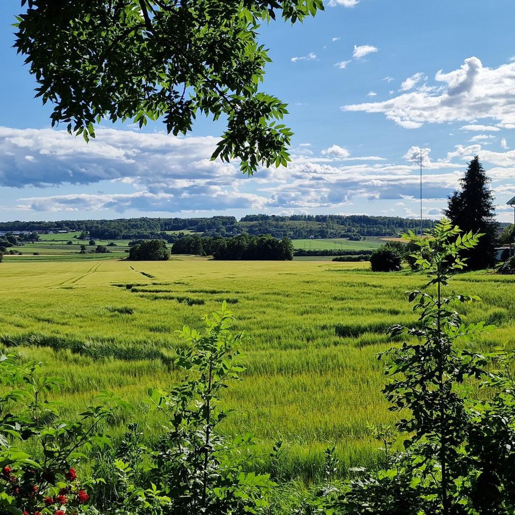
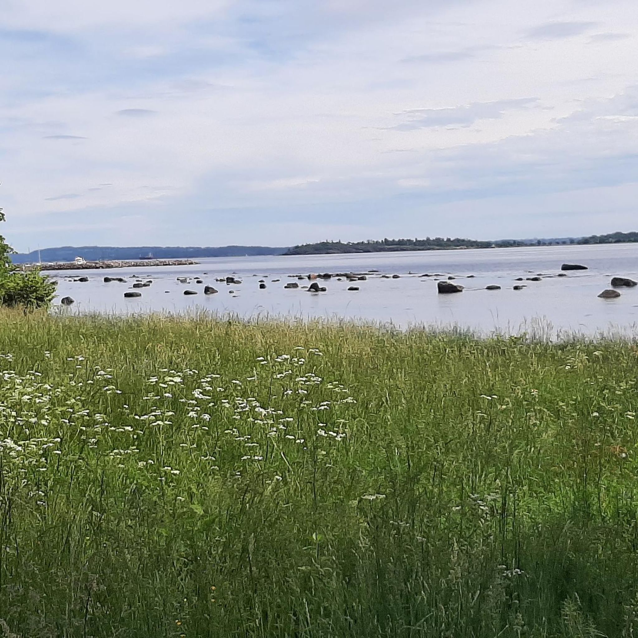
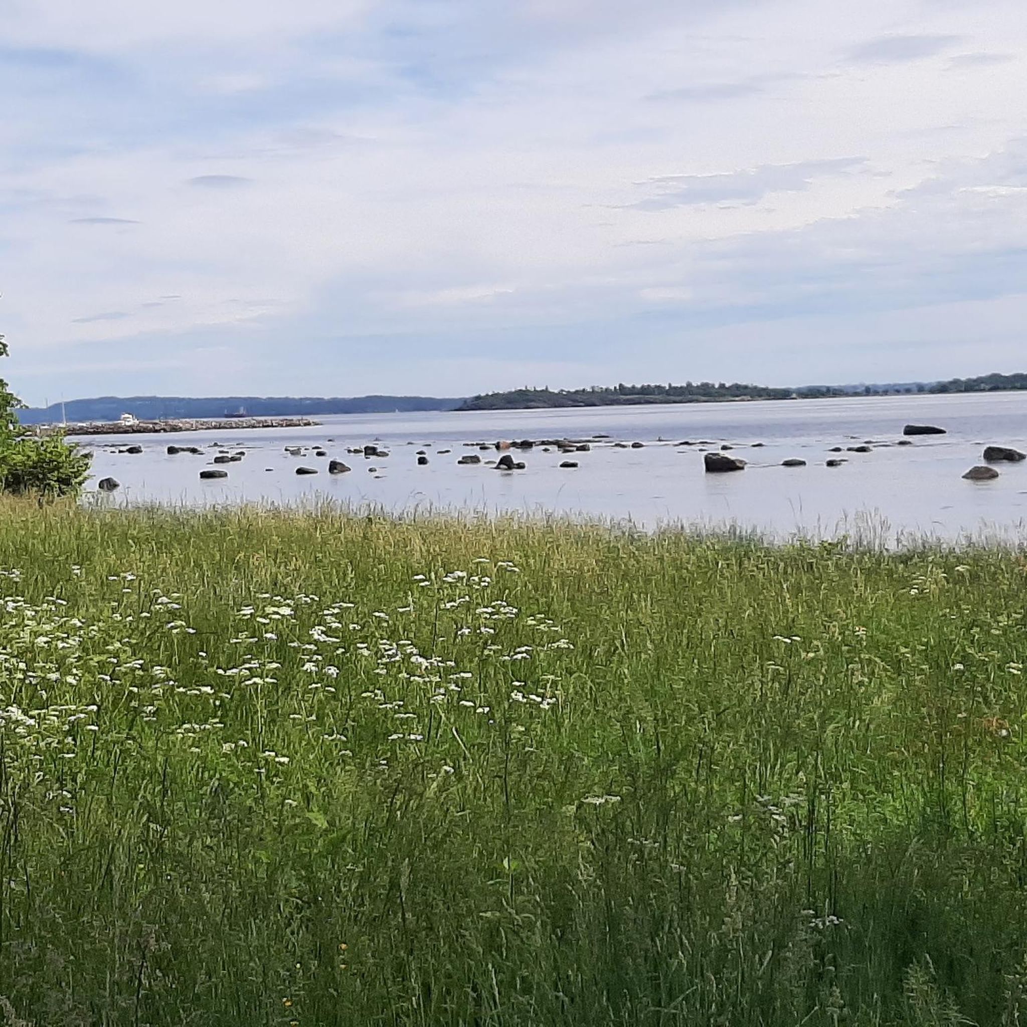
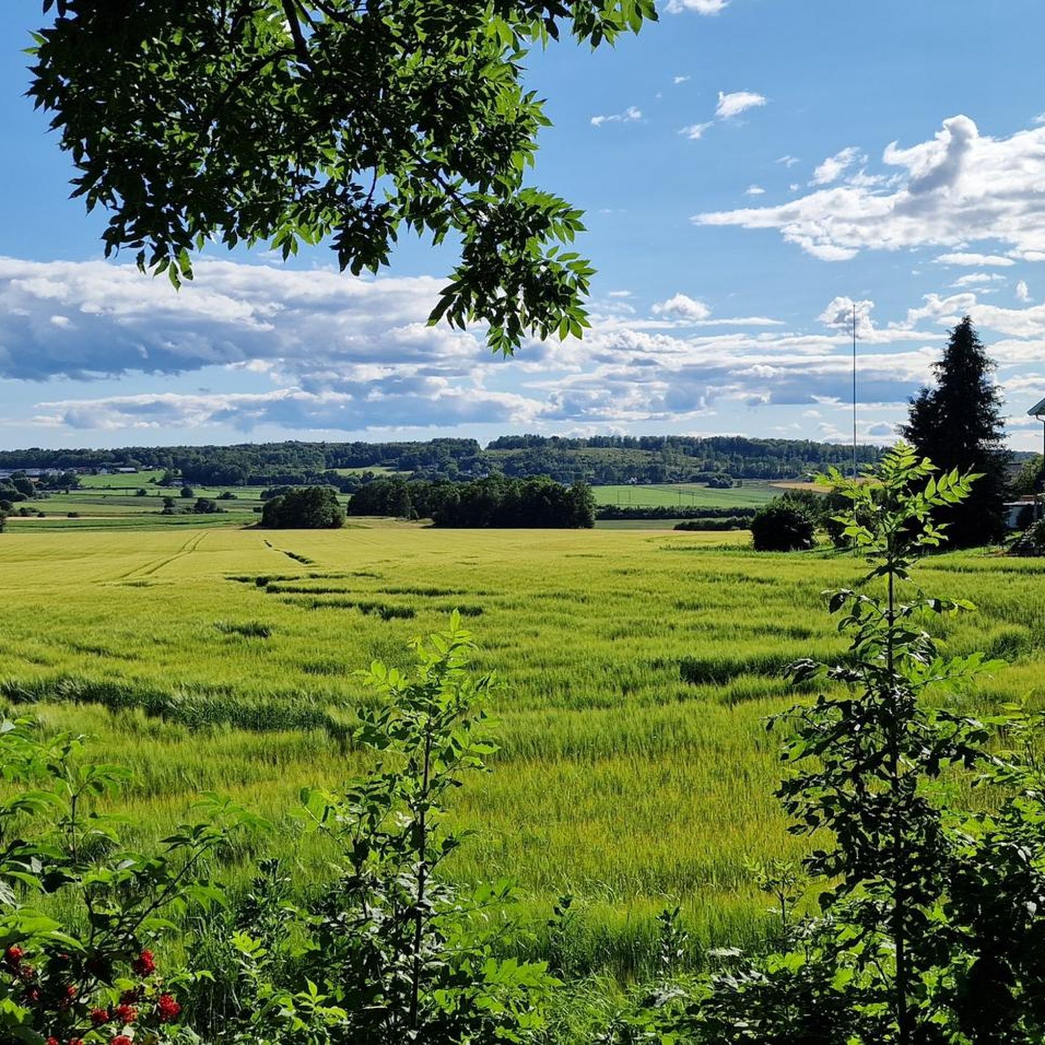
Tips from the Community

on the opposite probe of a small island you can appreciate an elegant dwelling. forbidden area
0
0


This trail will get you close to the sea!
0
0

great reconstruction of a meeting house from the Viking Age
0
0

Great place for a break and a picnic. There are benches and a lawn to lie on.
0
0
The canal offers a beautiful photo opportunity if you take photos from the bridge. The trees are reflected idyllically when the water is calm and there are no ducks approaching the canal to land.
0
0

Borrehaugene is the largest collection of Early Iron Age burial mounds. The excavation of a Viking ship was first documented in Skipshaugen in 1852.
5
4
Frequently Asked Questions
How many hiking trails are available in Bastøy Landskapsvernområde?
Bastøy Landskapsvernområde offers a good selection of hiking opportunities, with over 50 routes available. These trails cater to various preferences, from short walks to longer excursions.
What are the typical difficulty levels of hikes in Bastøy Landskapsvernområde?
The majority of trails in Bastøy Landskapsvernområde are considered easy, making them accessible for most visitors. Out of over 50 routes, about 35 are easy, 12 are moderate, and a few are more challenging, ensuring there's something for every fitness level.
Are there any circular walks in Bastøy Landskapsvernområde?
Yes, many of the trails in Bastøy Landskapsvernområde are designed as circular walks, allowing you to start and end at the same point. For example, you can explore the historical area with the Borrehaugene Burial Mounds loop from Borrehaugene, or enjoy a scenic path like the Horten Canal – Gravel Trail at Karljohansvern loop from Horten.
What kind of natural landscapes can I expect to see while hiking?
Bastøy Landskapsvernområde is known for its unique natural and cultural landscape. You'll encounter diverse flora, with 315 recorded plant species, varied tree species, and small ponds. The area also features valuable geological formations and wetlands, such as the Buvika/Rødskjær wetland, all within a protected conservation area.
Are there historical sites to explore along the hiking trails?
Absolutely. Bastøy Landskapsvernområde has a rich history. You can visit the Bastøy Lighthouse, established in 1840, or explore the unique Bastøy Prison, a minimum-security facility. Additionally, trails like the Midgard Viking Center loop from University of South-Eastern Norway campus Vestfold lead through areas with significant historical context, including ancient burial mounds.
Are the hiking trails in Bastøy Landskapsvernområde suitable for families?
Yes, the landscape is generally conducive to walks and easy hikes, making it very suitable for families. Many routes are accessible and offer shorter excursions, allowing children and adults to enjoy the natural surroundings together.
What do other hikers enjoy most about hiking in Bastøy Landskapsvernområde?
The area is highly rated by the komoot community, with an average score of 4.6 stars from around 80 reviews. Hikers often praise the accessible paths, the blend of natural beauty with historical elements, and the diverse flora and fauna found throughout the protected landscape.
Are there opportunities for swimming or other outdoor activities besides hiking?
Beyond hiking, visitors can enjoy swimming and boating in public open spaces. Popular spots include Bastøy bay and Bastøykalven, both located on the northern part of the island, offering refreshing breaks during warmer months.
Is Bastøy Landskapsvernområde accessible by public transport?
While the guide focuses on the trails themselves, Bastøy is an island, and access typically involves a ferry. It's advisable to check local public transport schedules and ferry services to Horten, from where you can reach the island. Specific public transport options to trailheads on the island may be limited.
What is the best time of year to go hiking in Bastøy Landskapsvernområde?
The diverse flora and accessible paths make Bastøy Landskapsvernområde enjoyable throughout much of the year. Spring and summer offer lush greenery and pleasant temperatures for exploring the plant life and enjoying swimming. Autumn brings beautiful colors, while winter hiking can offer a serene experience, though conditions may vary.
Are there any specific viewpoints or scenic spots recommended?
The entire area is characterized by stunning natural and cultural landscapes. While specific named viewpoints are not highlighted, the island's protected status ensures beautiful vistas throughout. The coastal areas, especially around Bastøy bay and Bastøykalven, offer picturesque views of the water and surrounding nature.
Most popular routes in Bastøy Landskapsvernområde

Get inspired with the komoot mobile app


Explore more
Browse the best Hikes in other regions.
