The best walks and hikes in Ågårdselva Naturreservat
4.6
(13)
154
hikers
13
hikes
Hiking trails in Ågårdselva Naturreservat traverse a distinctive landscape shaped by a deep river gorge and varied topography. The reserve features marked hills and ridges, primarily running north-south, with elevations ranging from 10 to 135 meters above sea level. Hikers encounter diverse forest types, including dry pine forests on plateaus, humid spruce forests, and swamp forests in valleys. This ecological variety contributes to a dynamic hiking experience with changing scenery.
Best hiking trails in Ågårdselva Naturreservat
- The most popular hiking…
Last updated: October 15, 2026
3
hikers
7.51km
02:02
110m
110m
Moderate hike. Good fitness required. Easily-accessible paths. Suitable for all skill levels.
2
hikers
5.71km
01:33
70m
70m
Easy hike. Great for any fitness level. Easily-accessible paths. Suitable for all skill levels.

7
hikers
6.01km
01:41
100m
100m
Moderate hike. Great for any fitness level. Mostly accessible paths. Sure-footedness required.
4
hikers
5.69km
01:33
80m
80m
Easy hike. Great for any fitness level. Easily-accessible paths. Suitable for all skill levels.
4.7
(3)
16
hikers
15.9km
04:14
160m
160m
Moderate hike. Good fitness required. Mostly accessible paths. Sure-footedness required.
Get access to more routes and recommendations from other explorers.
Already have an account?
Our route recommendations are based on thousands of hikes, rides, and runs completed by other people on komoot.
Start today with a free account
Your next adventure awaits.

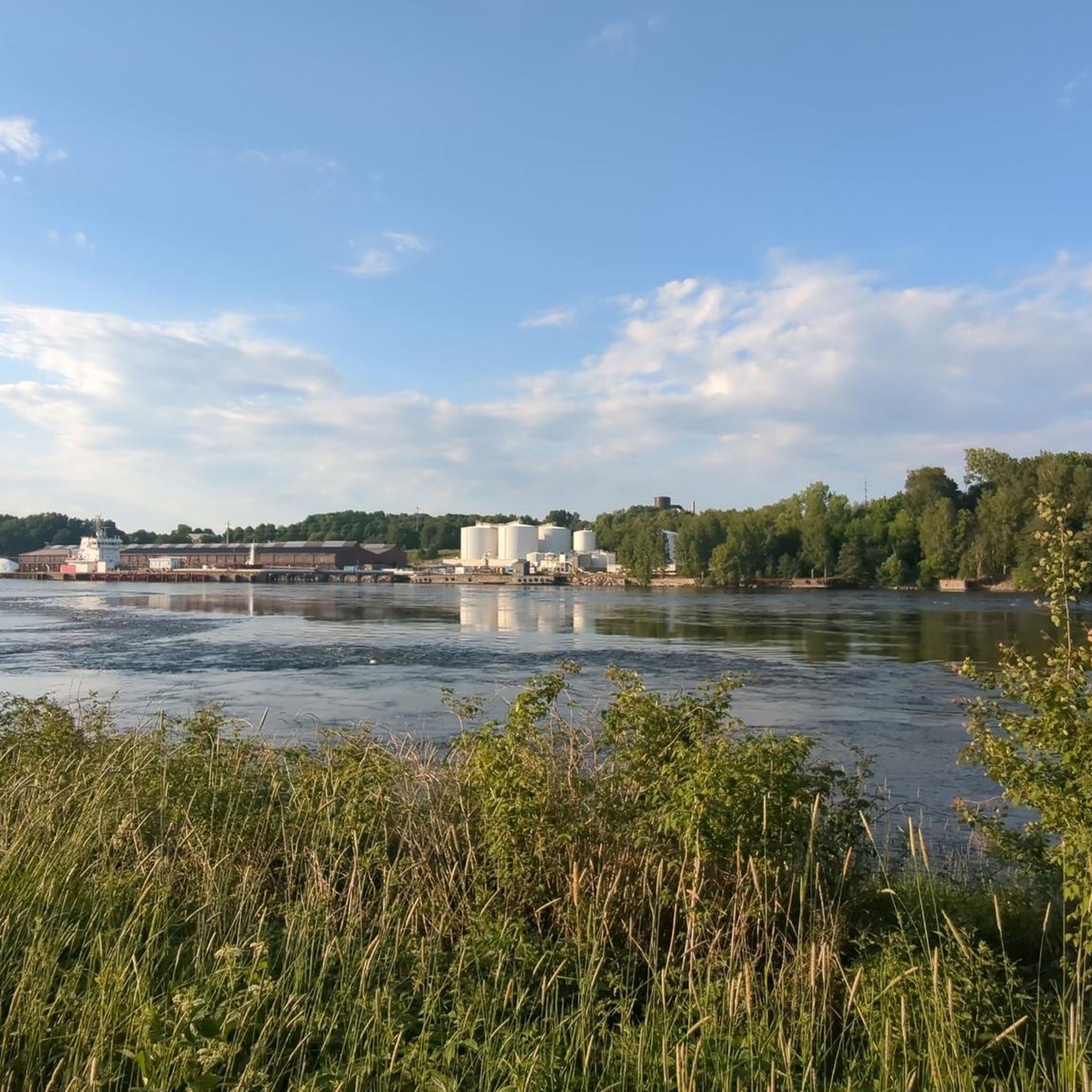
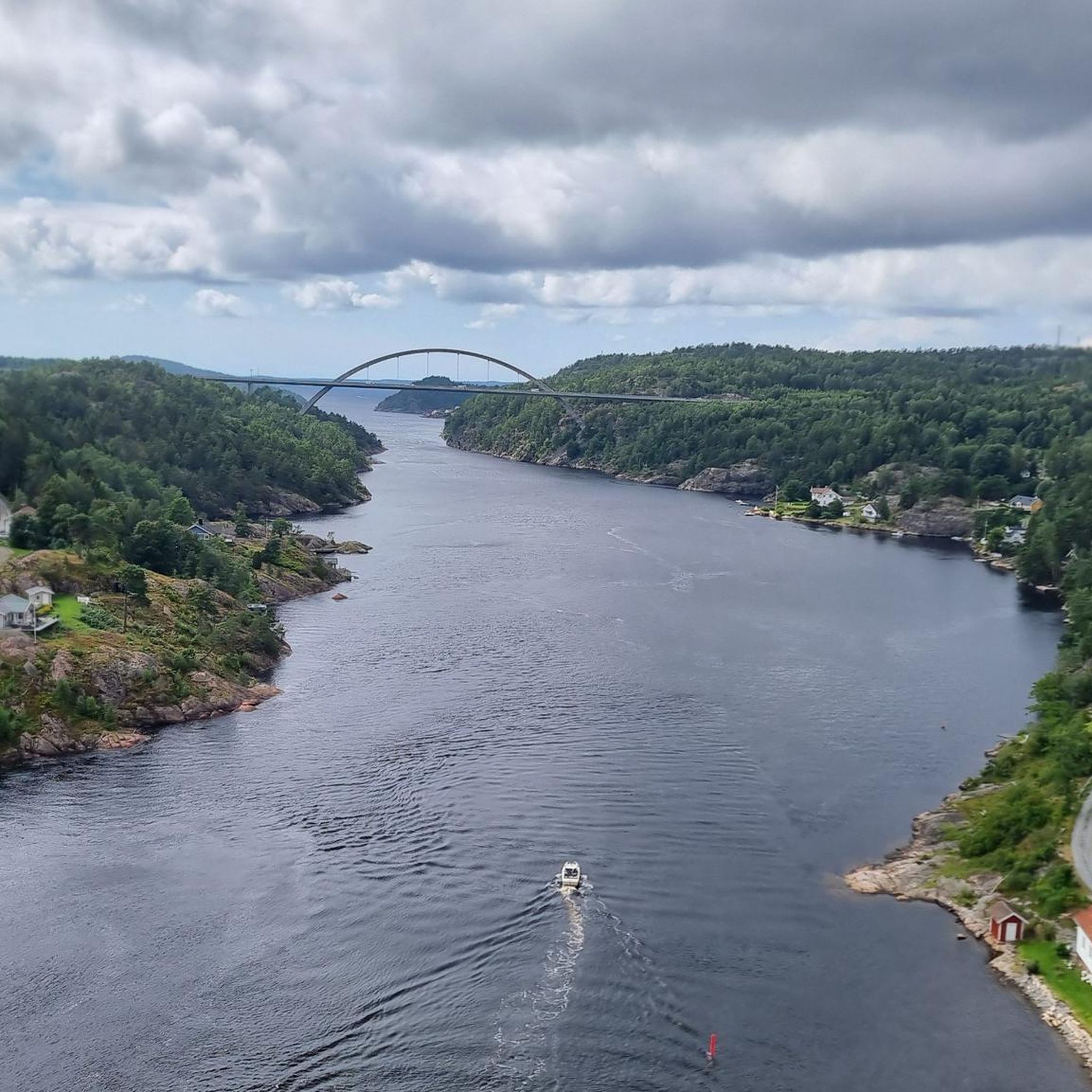
Tips from the Community

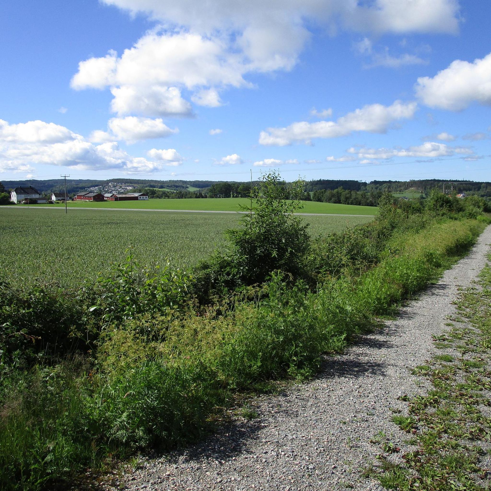
This little country road has very little traffic. It’s a pleasant place to walk, even on foot – for example, to walk round the nearby lake. The view here is unobstructed.
0
0
This trail along the Isebakkjernet runs through a forest. The trees give way from time to time, offering views of the lake.
0
0
There is an old feldspar mine here. Today, it forms a shelter in the rock which you can enter.
0
0

This loop circles Lake Ravnsjøen, taking you through a mix of dense forest and rocky terrain. The trail is well-suited for a day trip, featuring several quiet spots along the shoreline to stop and take in the scenic views.
0
0

Nice place to camp and to get a nice view over Sarpsborg
0
0

In Ulvedalen there is an information board on the circular route around the Ravnsjøen, where the tragic story of a young Norwegian woman is told.
0
0
The DNT hut Ravnsjøhytta is located directly on the lake Ravnsjøen and has room for 16 overnight guests. In addition to the usual DNT standard, there's a boathouse with three canoes and a rowboat, as well as electricity and a cozy sitting area with a fireplace. Also recommended is the circular walk 'Ravnsjøen rundt' (4.5 km). Further information: https://www.ut.no/hytte/3.2024/
1
0
The Ravnsjøen is a lake with many picnic spots, a beautifully landscaped circular walk (4.5 km plus worthwhile detours) and the DNT hut Ravnsjøhytta.
0
0
Frequently Asked Questions
What kind of terrain can I expect when hiking in Ågårdselva Naturreservat?
Ågårdselva Naturreservat features a varied topography with marked hills and ridges, primarily running north-south. Elevations range from 10 to 135 meters above sea level, offering diverse viewpoints and landscapes. You'll encounter everything from dry pine forests on plateaus to humid spruce forests and even swamp forests in the valleys.
Are there hiking trails suitable for beginners in Ågårdselva Naturreservat?
Yes, Ågårdselva Naturreservat offers several trails suitable for beginners. Out of the 12 available routes, 4 are rated as easy. An example is the Hiking loop from Sarpsborg, which is 3.5 miles (5.7 km) long and typically takes about 1 hour 33 minutes to complete.
Are there any challenging hikes in Ågårdselva Naturreservat?
While most trails are easy to moderate, there is one route rated as difficult among the 12 available in Ågårdselva Naturreservat. These more challenging options often involve steeper sections or longer distances, providing a good workout for experienced hikers.
What natural features make Ågårdselva Naturreservat unique for hiking?
The reserve is distinguished by its deep river gorge carved by the Ågårdselva river, which is considered unique in Østfold. Hikers can also explore diverse forest types, including old spruce and pine forests, and observe varied geological formations that contribute to the distinct landforms and ecological zones.
Can I access the deep river gorge of Ågårdselva during a hike?
Yes, the deep river gorge is a primary feature of Ågårdselva Naturreservat. Many hiking routes are designed to showcase this dramatic landscape, offering scenic views and opportunities to explore its unique formations. The varied topography often features steep edges and coarse stone screes near the gorge.
Are the hiking trails in Ågårdselva Naturreservat suitable for families with children?
Yes, Ågårdselva Naturreservat is a popular recreational area, and many trails are suitable for families. The reserve offers 4 easy routes, which are generally shorter and have less elevation gain, making them ideal for children. The diverse scenery also provides engaging exploration for younger hikers.
Are dogs allowed on the hiking trails in Ågårdselva Naturreservat?
Ågårdselva Naturreservat is a popular outdoor area, and generally, dogs are welcome on trails, but it's important to keep them on a leash, especially during nesting seasons for birds and to protect wildlife. Always follow local regulations and show consideration for other visitors and the natural environment.
Where can I park when visiting Ågårdselva Naturreservat for hiking?
While specific parking facilities are not detailed, as a frequently used recreational area, there are typically designated parking areas near popular trailheads or access points. For example, the route Fugleleiken Parking Lot – Fugleleiken Summit loop from Råde kirke suggests a parking lot as a starting point.
What is the best time of year to go hiking in Ågårdselva Naturreservat?
The varied forest types and river gorge make Ågårdselva Naturreservat appealing throughout the year. Spring and autumn offer vibrant colors and comfortable temperatures, while summer provides lush greenery. Winter hiking is also possible, but conditions may vary, and appropriate gear is essential.
What do other hikers enjoy the most about hiking in Ågårdselva Naturreservat?
The area is highly rated by the komoot community, with an average score of 4.5 stars from over 8 reviews. Hikers often praise the unique river gorge, the diverse forest types, and the undulating terrain that provides a dynamic and interesting hiking experience with changing scenery.
Are there any circular hiking routes in Ågårdselva Naturreservat?
Yes, many of the trails in Ågårdselva Naturreservat are designed as loops, allowing you to start and end at the same point. Examples include the popular Setertjernet loop from Harehjellhytta and the Ravnsjøhytta – Ulvedalen loop from Svinndal kirke.
How many hiking trails are there in Ågårdselva Naturreservat?
There are 12 distinct hiking routes available for exploration in Ågårdselva Naturreservat, offering a range of distances and difficulties to suit different preferences.
Most popular routes in Ågårdselva Naturreservat

Get inspired with the komoot mobile app


Explore more
Browse the best Hikes in other regions.
