The best road cycling routes in Østsidenmarka
3.8
(11)
907
riders
85
rides
Road cycling in Østsidenmarka, located near Oslo, Norway, features a diverse landscape shaped by the receding ice age. The terrain is characterized by a mix of spruce and pine forests, deciduous forests, and various wetlands. Cyclists can expect varied topography, including wave-washed hills and ravines, providing a range of road cycling experiences. This region offers a network of roads suitable for exploring its natural features.
Best road cycling routes in Østsidenmarka
- The most popular road cycling route is Red Arch…
Last updated: July 12, 2026
3.0
(1)
64
riders
39.4km
01:44
320m
320m
Moderate road ride. Good fitness required. Mostly well-paved surfaces and easy to ride.
53
riders
61.6km
02:42
510m
510m
Moderate road ride. Good fitness required. Mostly well-paved surfaces and easy to ride.

Sign up for free
4.0
(1)
50
riders
72.4km
03:05
510m
510m
Moderate road ride. Good fitness required. Mostly well-paved surfaces and easy to ride.
33
riders
94.2km
04:14
770m
770m
Moderate road ride. Good fitness required. Mostly well-paved surfaces and easy to ride.
25
riders
46.3km
02:09
430m
430m
Moderate road ride. Good fitness required. Mostly well-paved surfaces and easy to ride.
Get access to more routes and recommendations from other explorers.
Sign up for free
Already have an account?
Our route recommendations are based on thousands of hikes, rides, and runs completed by other people on komoot.
Start today with a free account
Your next adventure awaits.
Login or Signup
Tips from the Community

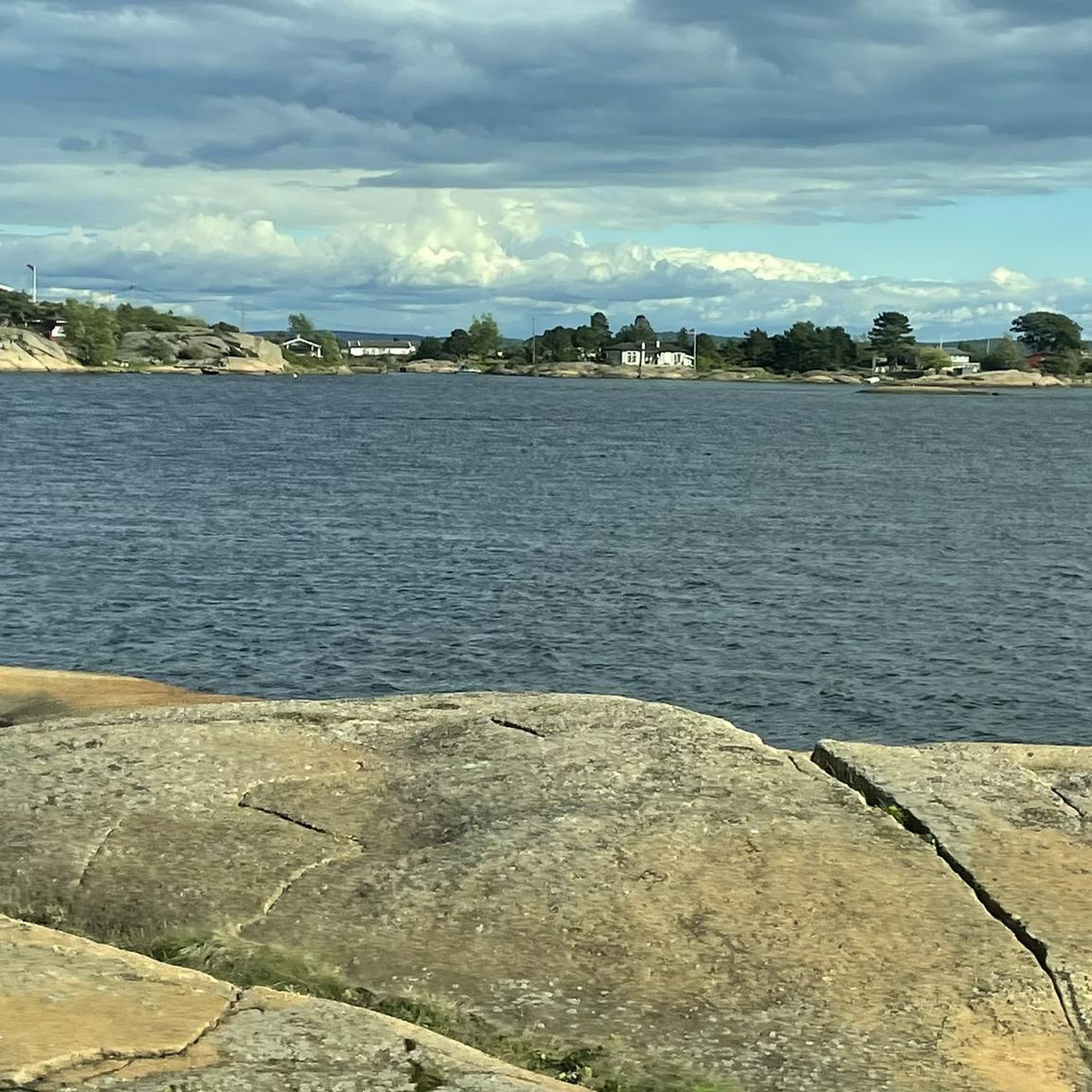
This viewpoint looks out over the harbour on Spjærøy, where boats and calm water create a classic coastal scene.
0
0

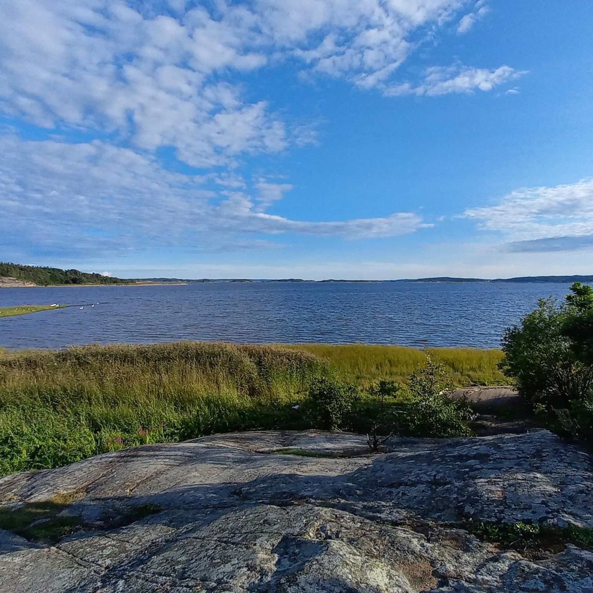
Fun to ride in either direction, you'll get great views of the water on one side, and the hill on the other.
0
0
Bike bridge that serves to get you between Sarpsborg and Frederikstad on the most traffic free route possible.
0
0

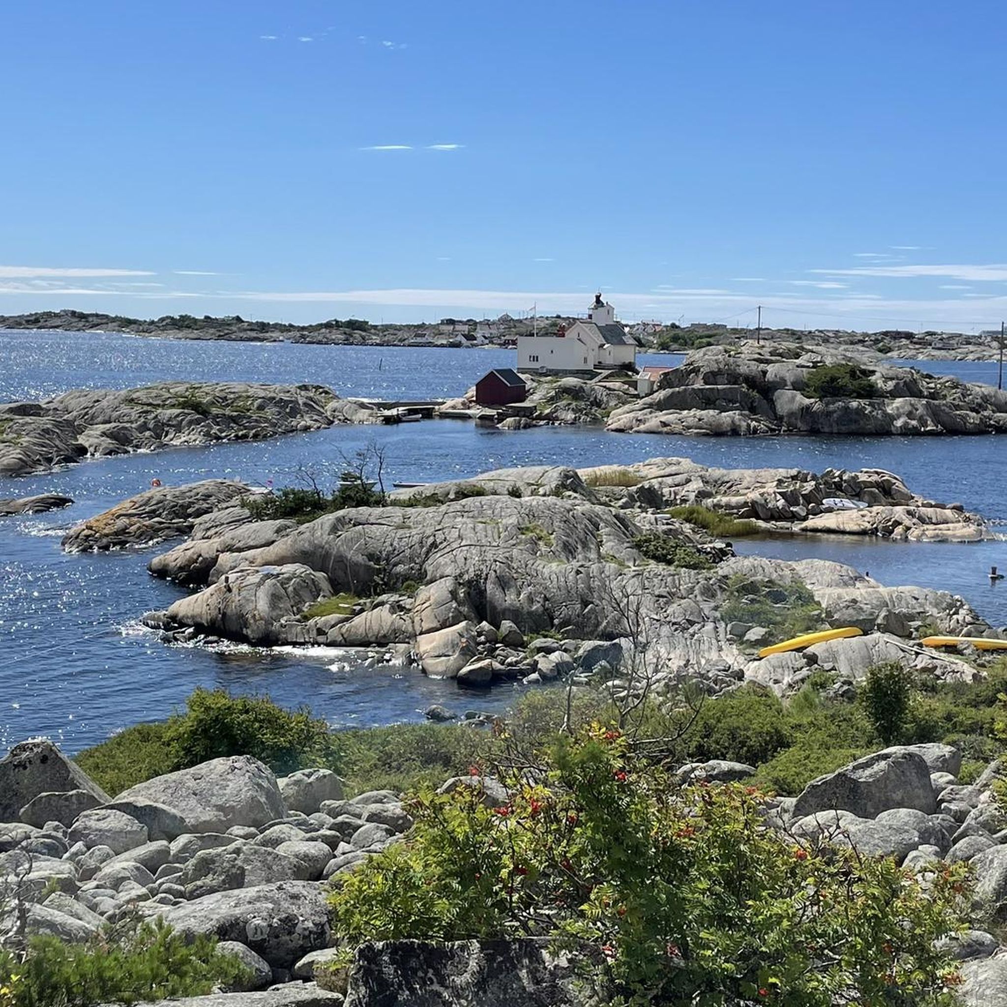
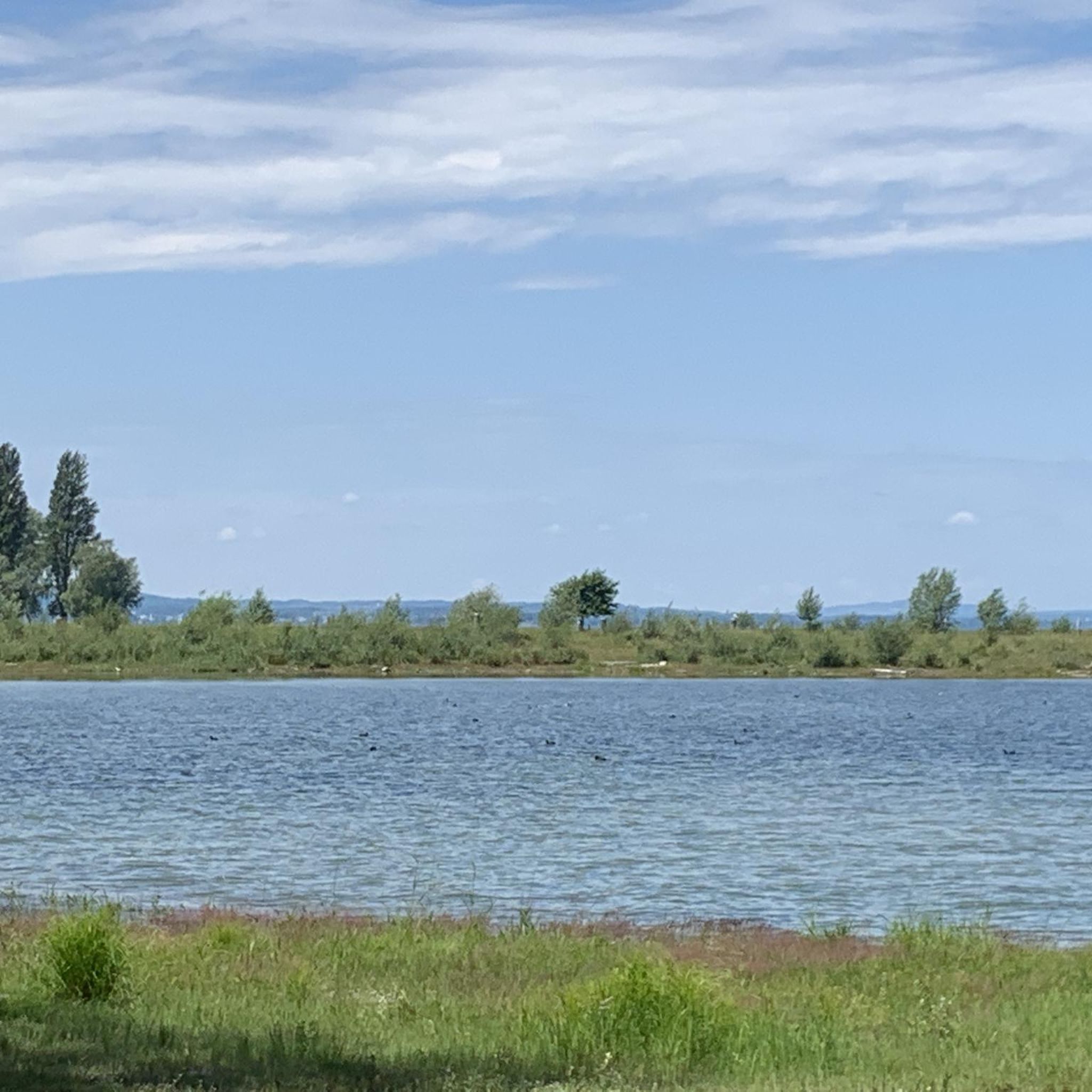
Typical norwegian Eastern Norway scenery
0
0

This road takes you to the river where there is a shelter, fishing opportunities and plenty of nice camp spots.
0
0

Beautiful and low-traffic route through the Norwegian nature. Also pretty hilly😁😉
1
0


Frequently Asked Questions
What kind of landscape can I expect while road cycling in Østsidenmarka?
Østsidenmarka offers a diverse landscape shaped by the receding ice age. You'll encounter a mix of spruce and pine forests, deciduous forests, and various wetlands. The terrain features varied topography, including wave-washed hills and ravines, providing a scenic backdrop for your rides.
How many road cycling routes are available in Østsidenmarka?
There are over 80 road cycling routes available in Østsidenmarka on komoot. These routes cater to various skill levels, with 20 easy, 56 moderate, and 13 difficult options to choose from.
Are there routes suitable for beginners or those looking for an easy ride?
Yes, Østsidenmarka offers 20 easy road cycling routes. These routes are generally shorter with less elevation gain, perfect for beginners or a relaxed ride. For example, the Red Arch Bridge loop from Fredrikstad is a moderate option that can be enjoyed by many.
What is the best time of year for road cycling in Østsidenmarka?
The best time for road cycling in Østsidenmarka is typically during the warmer months, from late spring to early autumn. This period offers more favorable weather conditions, with less chance of snow or ice, making for safer and more enjoyable rides through the forests and along the country roads.
What do other road cyclists enjoy most about the routes in Østsidenmarka?
The routes in Østsidenmarka are highly rated by the komoot community, with an average score of 3.8 stars from several reviews. Cyclists often praise the varied scenery, from historical sites to diverse natural landscapes, and the well-maintained country roads that make for enjoyable rides.
Are there any longer or more challenging road cycling routes?
Yes, for those seeking a greater challenge, Østsidenmarka has 13 difficult routes and 56 moderate routes. A longer moderate option is the Red Arch Bridge – Fredrikstadmarka Scenic Road loop from Fredrikstad, which covers over 94 km and includes significant elevation gain.
Can I find circular road cycling routes in Østsidenmarka?
Many of the road cycling routes in Østsidenmarka are designed as loops, allowing you to start and end at the same point. Examples include the Winker Bandi Ferry – Begby Petroglyphs loop from Torp and the Winker Bandi Ferry – Lake Swimming Spot loop from Fredrikstad, offering convenient circular journeys.
What kind of wildlife might I encounter while cycling?
Østmarka is known for its rich biological diversity. While cycling, you might spot various bird species and smaller mammals. The area is also home to larger predators like lynx and wolves, though encounters are rare. Always respect wildlife and maintain a safe distance.
Are there any specific rules or permits required for cycling in Østmarka National Park?
While Østmarka became a national park in November 2023, road cycling is generally permitted on designated roads. However, it is crucial to note that cycling is typically not allowed in Zone A of the national park due to the vulnerability of its nature and vegetation. Always check local signage and regulations to ensure you are cycling in permitted areas.
Are there places to stop for food or drinks along the routes?
While specific cafes or pubs directly on every route are not detailed, the region's proximity to towns like Fredrikstad means you can find amenities before or after your ride. Many routes start or pass through areas where you can access refreshments.
What are some notable natural features or landmarks I might see?
The landscape itself is a key feature, with its unique geological formations from the receding ice age, including wave-washed hills and ravines. You'll also ride through extensive spruce and pine forests and past various wetlands. Some routes, like the Winker Bandi Ferry – Begby Petroglyphs loop from Torp, even include historical sites like petroglyphs.
How long do road cycling routes in Østsidenmarka typically take to complete?
Route durations vary significantly based on distance and difficulty. For instance, the Bridge to Kjokoy – View of the Varodd Bridge loop from Fredrikstad, a moderate 54 km route, typically takes around 2 hours 37 minutes. Shorter, easier routes can be completed in under 2 hours, while longer, more challenging ones may take 4 hours or more.
Most popular routes in Østsidenmarka

Get inspired with the komoot mobile app


Explore more
Browse the best Road cycling routes in other regions.
