The best walks and hikes in Kjørholmane Naturreservat
4.6
(53)
498
hikers
33
hikes
Hiking trails in Kjørholmane Naturreservat are not directly accessible due to its designation as a vital sanctuary for seabirds and seals, with strict conservation regulations. The reserve, located on an isolated archipelago west of Sola, prioritizes the preservation of sensitive animal and plant communities. However, the broader coastal region around Sola offers diverse trails in adjacent natural landscapes. This area features coastal paths, beaches, and rock formations, providing opportunities for outdoor activities with views of the reserve from a distance.
Best hiking trails in Kjørholmane Naturreservat
- The most popular hiking route is Vigdel Beach – Vigdelstranden Beach loop from Ølbergtunet, a 2.0 miles (3.3 km) trail that takes 51 minutes to complete. This easy coastal path offers views of the surrounding seascape.
- Another top favourite among local hikers is Ølberg Beach – Jærstrendene Coastal Landscape loop from Ølberg (B), a moderate 4.9 miles (7.9 km) path. This route explores the Jærstrendene Coastal Landscape, featuring varied coastal scenery.
- Local hikers also love the Stone Face Rock Formation loop from Hålandsmarka, a 2.3 miles (3.8 km) trail leading through interesting geological features, often completed in about 1 hour 1 minute.
- Hiking in Kjørholmane Naturreservat's surrounding areas is defined by coastal trails, beaches, and unique rock formations. The network offers options for different ability levels, from easy walks to moderate hikes.
- The routes in Kjørholmane Naturreservat are highly rated by the komoot community with an average score of 4.6 stars from over 50 reviews. More than 400 hikers have used komoot to explore Kjørholmane Naturreservat's varied terrain.
Last updated: July 12, 2026
10
hikers
5.17km
01:22
50m
50m
Easy hike. Great for any fitness level. Easily-accessible paths. Suitable for all skill levels.
4.9
(8)
49
hikers
3.29km
00:51
20m
20m
Easy hike. Great for any fitness level. Easily-accessible paths. Suitable for all skill levels.

Sign up for free
4.7
(3)
27
hikers
3.71km
00:58
20m
20m
Easy hike. Great for any fitness level. Easily-accessible paths. Suitable for all skill levels.
4.0
(2)
10
hikers
3.76km
01:01
40m
40m
Moderate hike. Great for any fitness level. Mostly accessible paths. Sure-footedness required.
4.5
(2)
13
hikers
Moderate hike. Good fitness required. Easily-accessible paths. Suitable for all skill levels.
Get access to more routes and recommendations from other explorers.
Sign up for free
Already have an account?
Our route recommendations are based on thousands of hikes, rides, and runs completed by other people on komoot.
Start today with a free account
Your next adventure awaits.
Login or Signup
Popular around Kjørholmane Naturreservat
Tips from the Community

This is a tiny and very tipycal harbour on the Norwegian coast. Enjoy the views from here.
0
0

Here you find a great view of the coast and a rock formation with big quartz rocks.
0
0

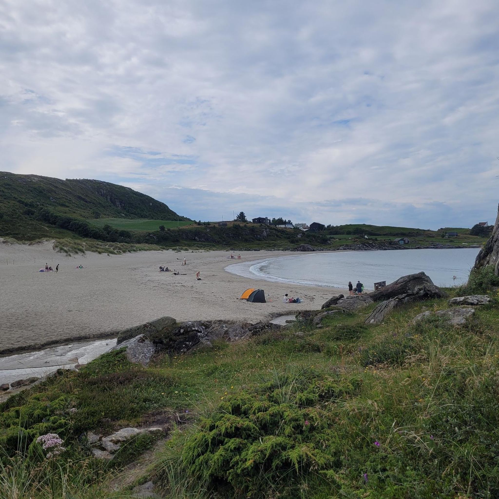
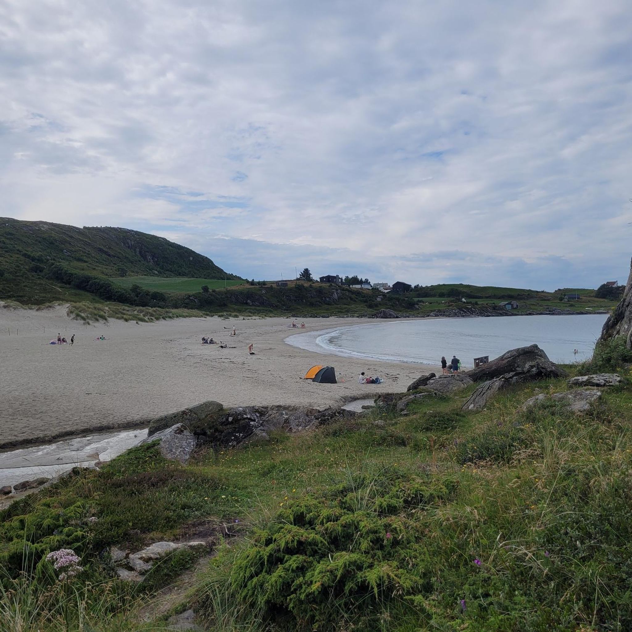
A small stream flows into the beach, where it is indicated that children should not play there because of coliform bacteria.
0
0


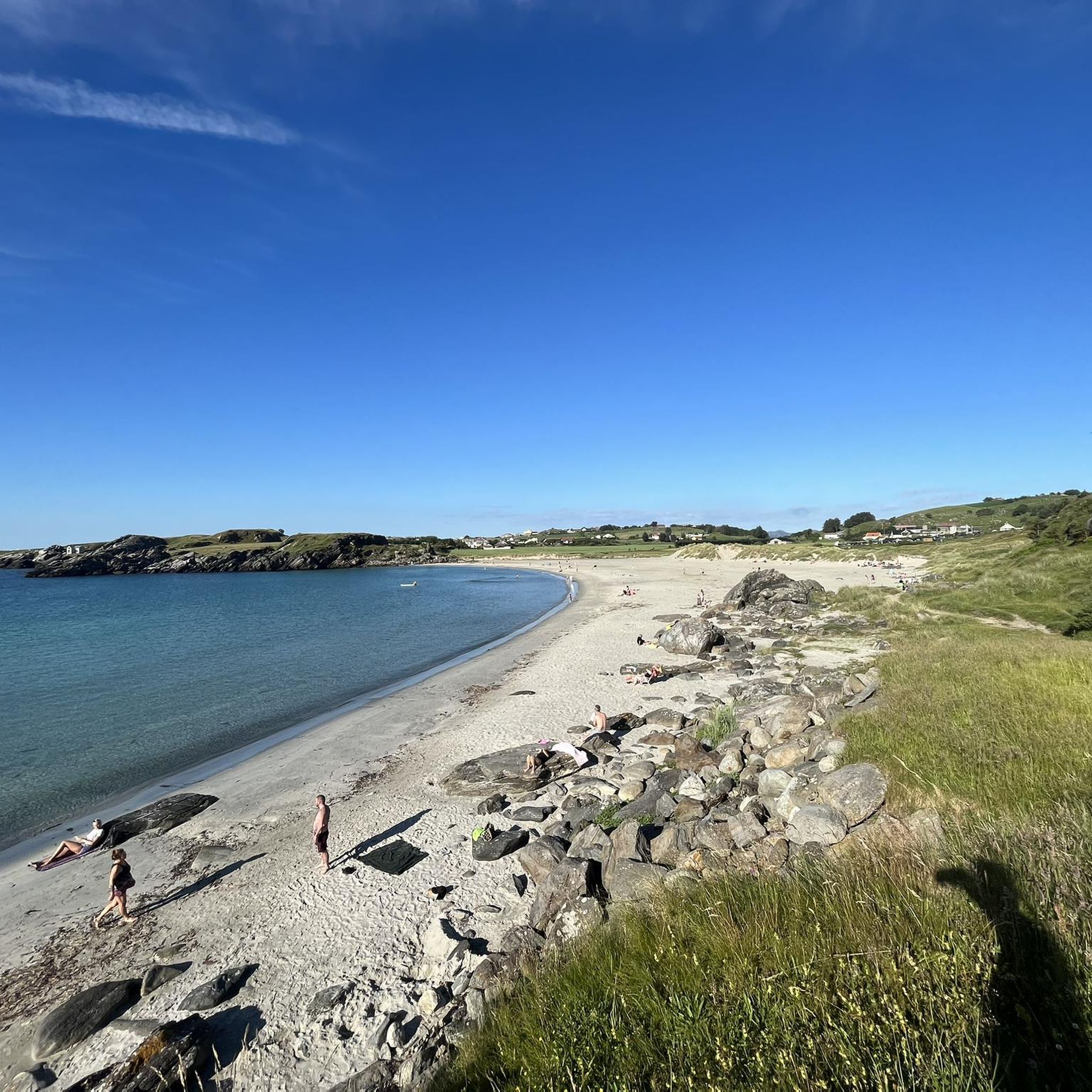
Very nice picnic spot. On the right side of the beach you will also find very interesting rock formations.
0
0
Frequently Asked Questions
Can I hike directly within Kjørholmane Naturreservat?
No, direct hiking within Kjørholmane Naturreservat is restricted. It is designated as a vital sanctuary for seabirds and seals, with strict conservation regulations. Landing and boat traffic within 50 meters of the islands are forbidden from April 15 to August 1. The area is not adapted for general outdoor activities to protect its sensitive ecosystem.
Where can I find hiking trails near Kjørholmane Naturreservat?
While the reserve itself is restricted, the broader coastal region around Sola offers diverse hiking opportunities. You can explore coastal paths, beaches, and areas with unique rock formations in adjacent natural landscapes. These trails often provide views of the reserve from a distance.
What kind of hiking difficulty can I expect in the areas surrounding Kjørholmane Naturreservat?
The trails in the surrounding coastal areas offer options for various ability levels. You'll find a mix of easy walks, such as the Vigdel Beach – Vigdelstranden Beach loop from Ølbergtunet, and more moderate hikes like the Ølberg Beach – Jærstrendene Coastal Landscape loop from Ølberg (B). There are no difficult trails listed in this immediate area.
Are there any family-friendly hiking options in the region?
Yes, the surrounding coastal areas offer several easy walks suitable for families. For instance, the Vigdel Beach – Vigdelstranden Beach loop from Ølbergtunet is an easy coastal path that takes approximately 51 minutes to complete, making it a good choice for families.
Are dogs allowed on the hiking trails near Kjørholmane Naturreservat?
Generally, dogs are welcome on trails in the surrounding coastal areas, but it's always best to keep them on a leash, especially in natural areas to protect wildlife and livestock. Specific regulations might apply in certain protected zones, so always check local signage.
Are there any circular walks available in the area?
Yes, many of the trails in the surrounding coastal region are designed as loops. Examples include the Vigdel Beach – Vigdelstranden Beach loop from Ølberg (B) and the Stone Face Rock Formation loop from Hålandsmarka, offering convenient circular routes.
What natural features or viewpoints can I expect to see on these hikes?
The hikes in the surrounding areas offer scenic coastal views, beaches, and unique geological formations. For example, the Stone Face Rock Formation loop from Hålandsmarka leads through interesting geological features, while coastal paths provide expansive views of the Jærstrendene Coastal Landscape.
What is the best time of year to go hiking in the Sola coastal region?
The coastal region around Sola can be enjoyed year-round, but spring and summer offer milder weather and longer daylight hours, which are ideal for hiking. Autumn provides beautiful coastal colors. Be aware that the Kjørholmane Naturreservat itself has strict access restrictions from April 15 to August 1 due to seabird breeding season, so plan your hikes in surrounding areas accordingly.
Are there opportunities for birdwatching in the Sola area?
Yes, the municipality of Sola provides unique birdwatching opportunities in its diverse wetlands and coastal areas. While Kjørholmane Naturreservat is a protected bird sanctuary, visitors can observe a wide array of species, including migratory birds, in other significant bird conservation areas nearby. For more information on birdwatching, you can visit visitsola.no.
How many hiking trails are available in the broader Kjørholmane Naturreservat region?
In the broader coastal region around Kjørholmane Naturreservat, there are over 30 hiking routes available. These range from easy walks to moderate hikes, offering diverse experiences across coastal paths, beaches, and areas with unique rock formations.
What do other hikers enjoy most about hiking in the Sola coastal region?
The trails in the Sola coastal region are highly rated by the komoot community, with an average score of 4.6 stars from over 50 reviews. Hikers often praise the scenic coastal views, the variety of terrain from beaches to rock formations, and the well-maintained paths suitable for different fitness levels.
Are there any cafes or amenities near the hiking trails?
The hiking trails are located in the broader coastal region around Sola. While specific cafes might not be directly on every trail, you can find amenities and cafes in the nearby towns and villages, such as Ølberg, which is a starting point for several routes like the Ølberg Beach – Scenic Bay With Wooden Dock loop from Ølberg (A).
Most popular routes in Kjørholmane Naturreservat

Get inspired with the komoot mobile app


Explore more
Browse the best Hikes in other regions.
