The best walks and hikes in Frydalen Landskapsvernområde
4.6
(992)
4,295
hikers
19
hikes
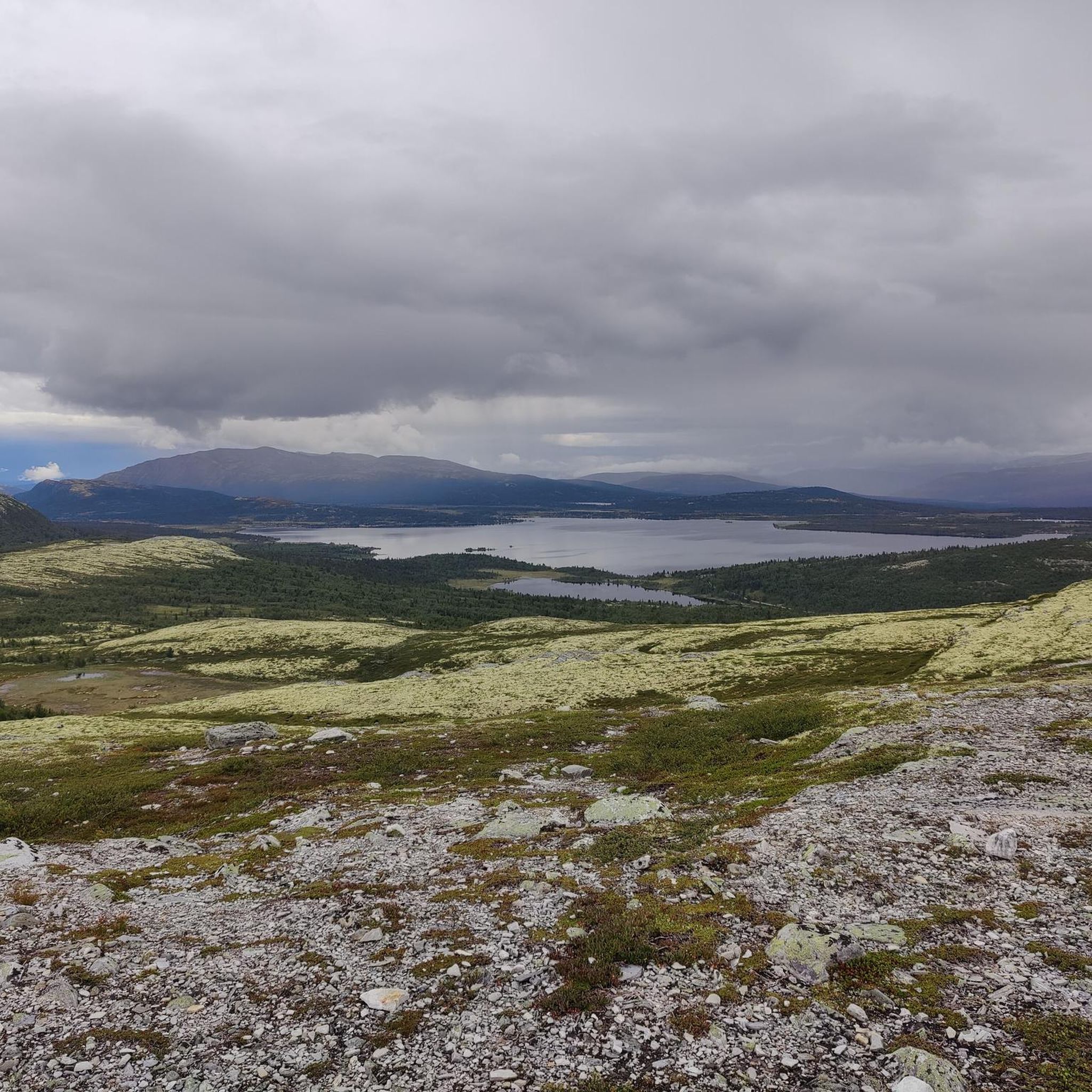
Hiking trails in Frydalen Landskapsvernområde traverse a diverse landscape, characterized by U-shaped and V-shaped valleys, lichen-covered plateaus, and rocky mountain terrain. The region features significant natural elements such as the Ulafossen waterfall and the Frya river. Adjacent to Rondane National Park, it offers a high-mountain ecosystem with varied elevations. The area provides a range of hiking experiences from lush valleys to more exposed mountain environments.
Best hiking trails in Frydalen Landskapsvernområde
- The most popular hiking route is Storulfossen Waterfall –…
Last updated: July 10, 2026
4.7
(132)
444
hikers
10.7km
03:03
240m
240m
Moderate hike. Good fitness required. Easily-accessible paths. Suitable for all skill levels.
4.8
(61)
184
hikers
5.82km
01:36
90m
90m
Easy hike. Great for any fitness level. Easily-accessible paths. Suitable for all skill levels.

Sign up for free
4.8
(23)
210
hikers
12.4km
03:26
170m
170m
Moderate hike. Good fitness required. Mostly accessible paths. Sure-footedness required.
4.9
(9)
70
hikers
21.5km
06:47
740m
740m
Hard hike. Very good fitness required. Mostly accessible paths. Sure-footedness required.
5.0
(7)
49
hikers
3.33km
00:56
60m
60m
Easy hike. Great for any fitness level. Easily-accessible paths. Suitable for all skill levels.
Get access to more routes and recommendations from other explorers.
Sign up for free
Already have an account?
Our route recommendations are based on thousands of hikes, rides, and runs completed by other people on komoot.
Start today with a free account
Your next adventure awaits.
Login or Signup
Other adventures in Frydalen Landskapsvernområde


Tips from the Community

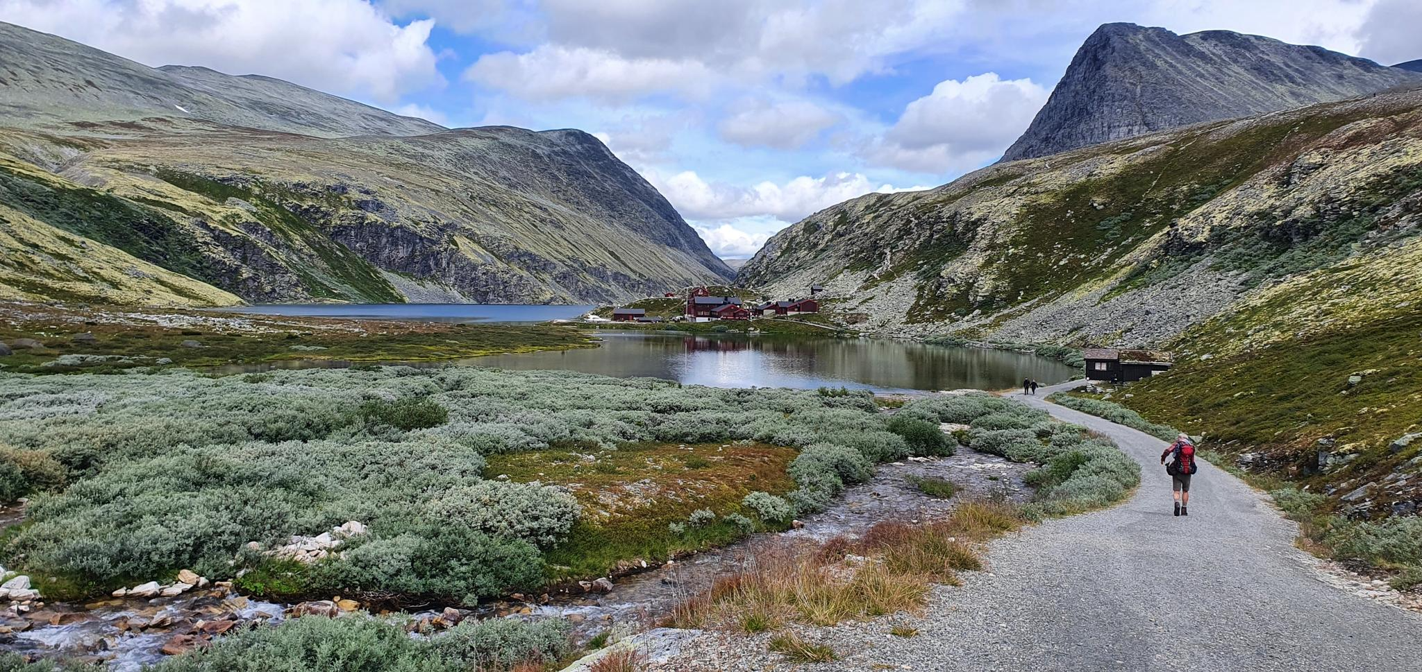
Rondvassbu is the DNT cabin in the very heart of the Rondane National Park and is deservedly popular. Originally built in 1903, the facility has seen many renovations in its time and provides unrivalled access to Rondane’s major peaks and trails. If you plan to camp nearby, you can still pay for the use of the facilities and purchase food.
1
0
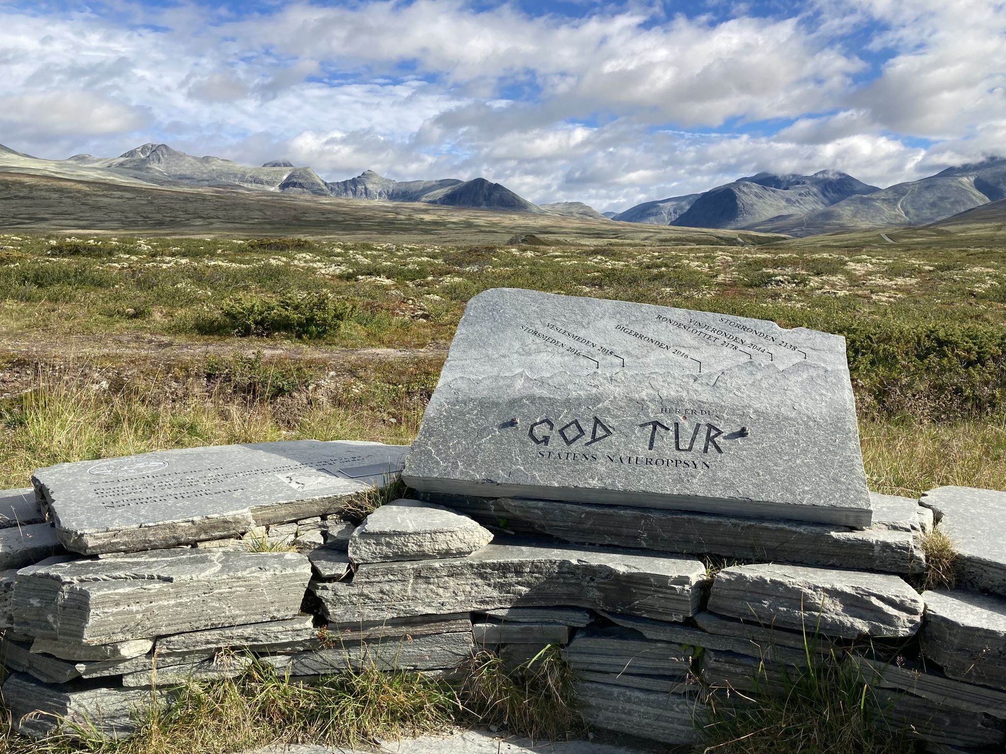
The saddle between Vinjeronden and Storronden lies right at the heart of the Rondane range and is the link between its two highest peaks. The view down Storbotn towards Langglupdalen is magnificent. If bound for Vinjeronden, the going gets tougher from here.
0
0

The double waterfalls of Storulfossen is a real highlight of any run along the Storula river. The cascades can be reached from the Spranget car park, while to the northwest is the Rondvassbu DNT cabin and Rondane's impressive mountains.
0
0
Another lovely cascade on the Storula, not far from the even more impressive Storulfossen. A riverside run here is a glorious way to spend and hour or two.
0
0
This is a beautiful waterfall on the Storula river. The riverside trails here are a delight to run, just a short hop from Rondane's impressive mountains.
1
0
At this trail junction, you've got the option of heading left towards Rondane's highest summit, Rondeslottet, or right towards Storronden, the second highest in the national park. Whatever you choose, you'll have a great experience among magnificent mountains.
0
0
The largest DNT cabin in Rondane National Park. It's a good base for adventures in the region, including Rondslottet, the national park's highest summit. The Spranget car park to the southwest provides access.
0
0
Frequently Asked Questions
How many hiking trails are there in Frydalen Landskapsvernområde?
Frydalen Landskapsvernområde offers a network of nearly 20 hiking trails. These routes traverse diverse landscapes, from lush valleys to high-alpine plateaus, catering to various preferences and fitness levels.
What kind of terrain can I expect when hiking in Frydalen Landskapsvernområde?
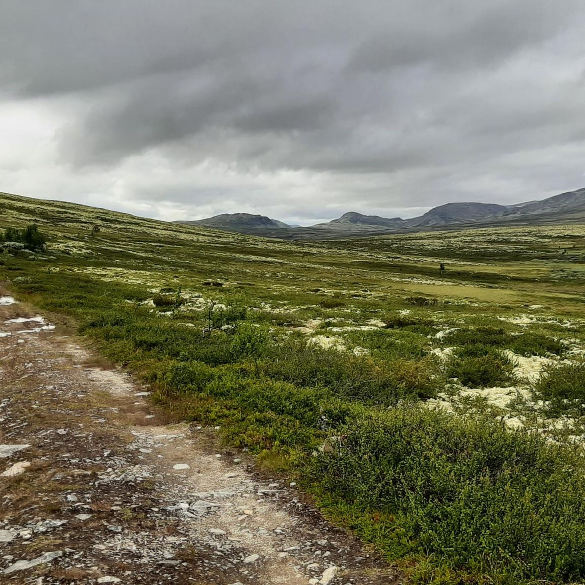
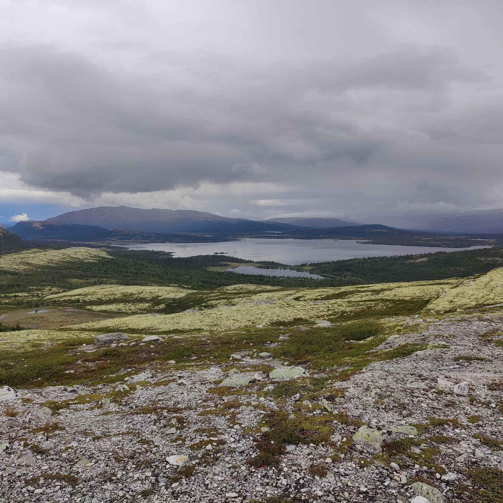
The terrain in Frydalen Landskapsvernområde is remarkably varied. You'll encounter U-shaped and V-shaped valleys, vast lichen-covered plateaus, and barren, rocky mountain areas. The landscape was shaped by glaciers, resulting in a dramatic and diverse environment for hiking.
Are there any impressive waterfalls to visit in Frydalen Landskapsvernområde?
Yes, the area is known for its beautiful waterfalls. Ulafossen is a particularly impressive natural attraction. You can experience it on routes like the Storulfossen Waterfall – Ulafossen Waterfall loop from Spranget p-plass, which also features Storulfossen.
What are the difficulty levels of hiking trails in Frydalen Landskapsvernområde?
The trails range from easy walks to challenging mountain ascents. There are 4 easy routes, 14 moderate routes, and 1 difficult route. For example, the Storulfossen – Storulfossen Waterfall loop from Indretjønne is an easy option, while the Spranget Trailhead – DNT Rondvassbu loop from Spranget p-plass is considered difficult.
Are there any family-friendly hiking options in Frydalen Landskapsvernområde?
Yes, there are several easier trails suitable for families. These routes often feature mostly paved surfaces or accessible paths. For instance, the Spranget Trailhead – Stolfossur Waterfall loop from Ulvangen is an easy 5 km hike that could be a good option for families.
What do other hikers say about the trails in Frydalen Landskapsvernområde?
The routes in Frydalen Landskapsvernområde are highly rated by the komoot community, with an average score of 4.7 stars from nearly 700 reviews. Hikers often praise the diverse landscapes, impressive waterfalls, and the well-maintained trails.
Are there any circular walks available in Frydalen Landskapsvernområde?
Yes, many of the trails in Frydalen Landskapsvernområde are designed as circular routes, allowing you to start and end at the same point. A popular example is the Spranget Trailhead – Scenic spot on Rondane loop from Spranget p-plass, which offers scenic views on a moderate loop.
What kind of wildlife can I spot while hiking in Frydalen Landskapsvernområde?
Frydalen Landskapsvernområde, together with the adjacent Rondane National Park, forms a unique high-mountain ecosystem. You might be lucky enough to spot wild reindeer, wolverines, and golden eagles, among other rich plant and animal life.
Are there any cultural heritage sites or historical landmarks in the area?
Beyond its natural beauty, the landscape of Frydalen includes cultural monuments such as old summer farms (setervoller) and traces of ancient wild reindeer trapping sites, some dating back thousands of years, offering glimpses into the region's history.
Where can I park when visiting Frydalen Landskapsvernområde for hiking?
A common starting point for many tours is Spranget. The Spranget Trailhead is easily accessible and serves as a convenient parking area for hikers heading into the region.
What are some notable viewpoints or scenic spots along the trails?
Many trails offer stunning views of the surrounding mountain landscape. For instance, the Spranget Trailhead – Scenic spot on Rondane loop from Spranget p-plass leads to a designated scenic spot. Additionally, the View from Nørdre Geitberget is another highly rated viewpoint.
Is public transport available to reach Frydalen Landskapsvernområde?
While the region is primarily accessed by car, popular starting points for tours into or through the adjacent Rondane National Park, such as Spranget, are generally considered accessible. Specific public transport options to Mysusæter, a common gateway, may be available depending on the season, so it's advisable to check local transport schedules.
Most popular routes in Frydalen Landskapsvernområde
Most popular attractions in Frydalen Landskapsvernområde

Get inspired with the komoot mobile app


Explore more
Browse the best Hikes in other regions.
