The best running trails in Aptasvare Fjällurskog
3.5
(4)
136
runners
15
runs
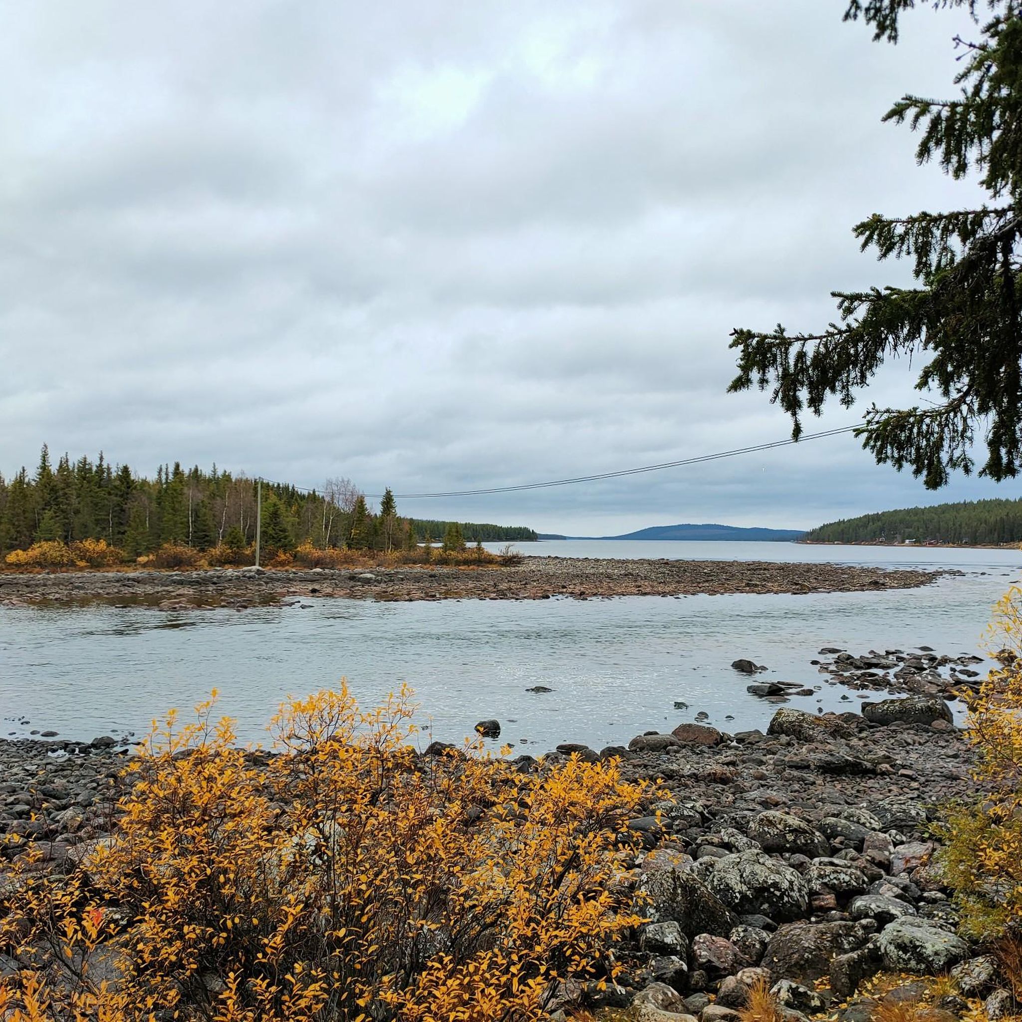
Jogging routes in Aptasvare Fjällurskog traverse a natural landscape near Kiruna, characterized by diverse terrain. The region features old-growth coniferous forests, mires, and mountain birch forests, transitioning to bare mountain terrain at higher elevations. Aptasvaara mountain, at 615 meters above sea level, offers panoramic views. The area provides a blend of pristine wilderness and accessible trails suitable for running.
Best jogging routes in Aptasvare Fjällurskog
- The most popular jogging route is Ylinen Aptasvaara loop from IRF E10, a 6.0…
Last updated: July 11, 2026
3.0
(1)
12
runners
9.68km
01:12
230m
230m
Moderate run. Good fitness required. Mostly paved surfaces. Suitable for all skill levels.
3.0
(1)
20
runners
13.1km
01:22
80m
80m
Moderate run. Good fitness required. Mostly paved surfaces. Suitable for all skill levels.

Sign up for free
5.0
(1)
5
runners
6.12km
00:47
160m
160m
Moderate run. Good fitness required. Mostly paved surfaces. Suitable for all skill levels.
5
runners
4.98km
00:32
20m
20m
Easy run. Great for any fitness level. Mostly paved surfaces. Suitable for all skill levels.
3
runners
15.6km
01:43
200m
200m
Hard run. Very good fitness required. Mostly paved surfaces. Suitable for all skill levels.
Get access to more routes and recommendations from other explorers.
Sign up for free
Already have an account?
Our route recommendations are based on thousands of hikes, rides, and runs completed by other people on komoot.
Start today with a free account
Your next adventure awaits.
Login or Signup
Popular around Aptasvare Fjällurskog
Frequently Asked Questions
How many running routes are available in Aptasvare Fjällurskog?
Aptasvare Fjällurskog offers a network of nearly 20 running routes. These trails cater to various skill levels, with options ranging from easy loops to more challenging moderate routes through diverse terrain.
What kind of terrain can I expect on the jogging trails in Aptasvare Fjällurskog?
The terrain in Aptasvare Fjällurskog is quite varied. You'll find yourself jogging through ancient coniferous forests, interspersed with birch trees, and across open mires. As you gain elevation, the landscape transitions to mountain birch forests and eventually bare mountain terrain, offering panoramic views.
Are there any easy running routes suitable for beginners or a relaxed jog?
Yes, Aptasvare Fjällurskog has several easy running options. For instance, the Running loop from Lombolo backe is an easy 5.0 km trail that can be completed in about 31 minutes, leading through local forests. Another accessible option is the Ala Lombolo loop from Sami Parliament, a 4.8 km easy route.
What are some notable viewpoints or natural features to see while running?
Many routes offer stunning views. The ascent to Aptasvaara mountain, for example, provides breathtaking 360-degree vistas where you can see Sweden's highest mountain, Kebnekaise, Kiruna's mining operations, the Torne River, and numerous lakes on a clear day. The Ylinen Aptasvaara loop from IRF E10 specifically includes an ascent to Ylinen Aptasvaara for expansive views.
Can I find circular running routes in Aptasvare Fjällurskog?
Absolutely. Many of the running trails in Aptasvare Fjällurskog are designed as loops, allowing you to start and finish at the same point. Examples include the Ylinen Aptasvaara loop from IRF E10 and the Ala Lombolo loop from Kiruna, both offering circular experiences.
What is the best time of year to go jogging in Aptasvare Fjällurskog?
Aptasvare Fjällurskog is a popular destination year-round. The midnight sun period (late May to mid-July) offers unique running experiences with continuous daylight. Autumn provides a chance to see vibrant fall colors and potentially find cloudberries in the mires. Trails are enjoyed in different seasons, so your preference for weather and scenery will guide your choice.
Are there any running routes that explore the area around Kiruna?
Yes, some routes offer a blend of natural landscapes and proximity to Kiruna. The Ala Lombolo loop from Kiruna is a moderate 13.1 km path that explores the area around the city, passing through varied natural settings. Another option is the Running loop from Sami Parliament, which is 8.8 km.
What do other runners say about the trails in Aptasvare Fjällurskog?
The running routes in Aptasvare Fjällurskog are appreciated by the komoot community. More than 140 runners have used komoot to explore the varied terrain, often praising the blend of pristine wilderness and accessible trails. The area is noted for its diverse ecosystems and scenic experiences.
Are the trails in Aptasvare Fjällurskog suitable for trail running shoes?
Given the varied terrain, which includes forested areas, mires, and mountain paths, trail running shoes are highly recommended. The trails can feature moderate elevation gains and sections that are better navigated with appropriate footwear for grip and support.
How long are the running trails in Aptasvare Fjällurskog typically?
The running trails in Aptasvare Fjällurskog vary in length. You can find shorter, easy loops like the 4.8 km Ala Lombolo loop from Sami Parliament, which takes about 30 minutes. Longer, moderate routes, such as the 13.1 km Ala Lombolo loop from Kiruna, can take over an hour to complete, offering more extensive exploration.
Is Aptasvare Fjällurskog suitable for all running skill levels?
Yes, the reserve offers a range of trails suitable for various skill levels. There are easily accessible paths ideal for beginners or those seeking a relaxed jog, as well as moderate routes with more significant elevation changes for experienced runners looking for a challenge. The network includes 3 easy, 12 moderate, and 3 difficult routes.

Get inspired with the komoot mobile app


Explore more
Browse the best Running Trails & Routes in other regions.
