The best walks and hikes around Hettenshausen
4.5
(1766)
9,418
hikers
756
hikes
Hiking trails around Hettenshausen, a municipality in Bavaria, Germany, traverse a landscape characterized by gently rolling to moderately hilly terrain. The region features agricultural lands, interspersed with woodlands, hop gardens, and riverine environments. Trails often lead through small forests and past former mill villages, offering varied natural features for hikers.
Best hiking trails around Hettenshausen
- The most popular hiking route is Beehive in the Forest loop from Straßhof, a 3.1 miles (5.0 km) trail that takes 1 hour 19…
Last updated: July 4, 2026
4.6
(12)
63
hikers
13.6km
03:38
160m
160m
Moderate hike. Good fitness required. Easily-accessible paths. Suitable for all skill levels.
4.7
(12)
92
hikers
Easy hike. Great for any fitness level. Easily-accessible paths. Suitable for all skill levels.

Sign up for free
4.8
(14)
84
hikers
7.59km
02:07
140m
140m
Moderate hike. Good fitness required. Easily-accessible paths. Suitable for all skill levels.
4.2
(5)
33
hikers
Easy hike. Great for any fitness level. Easily-accessible paths. Suitable for all skill levels.
4.9
(14)
59
hikers
Easy hike. Great for any fitness level. Easily-accessible paths. Suitable for all skill levels.
Get access to more routes and recommendations from other explorers.
Sign up for free
Already have an account?
Our route recommendations are based on thousands of hikes, rides, and runs completed by other people on komoot.
Start today with a free account
Your next adventure awaits.
Login or Signup

Tips from the Community

Idyllic place here
0
0

kloster Scheyern in the background
0
0
along the way several stations for more mindfulness, light exercises
0
0

Nice little spot. However, the rest area is private property with a sign: No trespassing. To ensure this is respected, there is video surveillance on the tree opposite.
0
0
Frequently Asked Questions
How many hiking trails are available around Hettenshausen?
There are over 770 hiking trails around Hettenshausen, offering a wide variety of options for all skill levels. The komoot community has recorded 774 routes in total, with 512 considered easy, 252 moderate, and 10 difficult.
What kind of landscape can I expect when hiking in Hettenshausen?
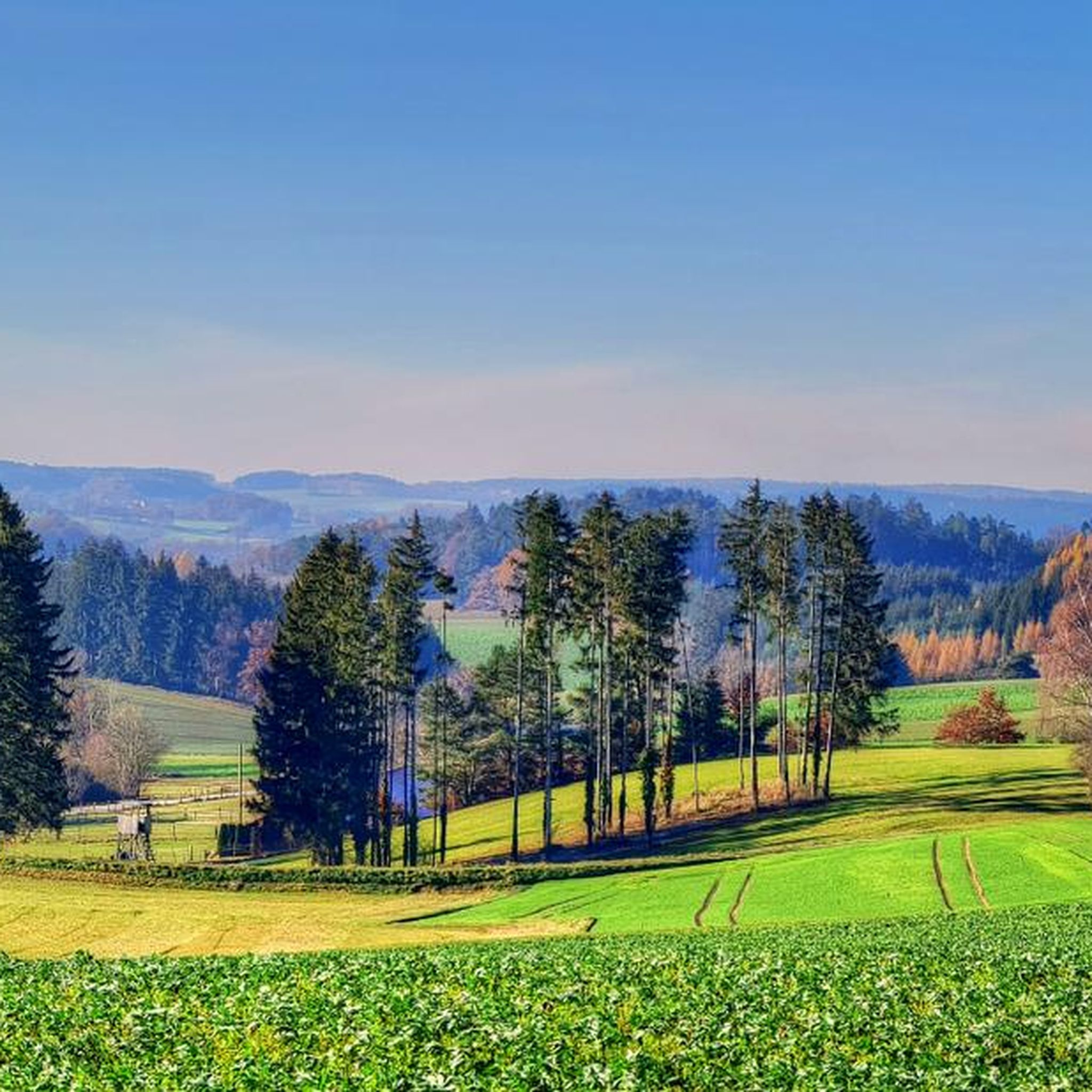
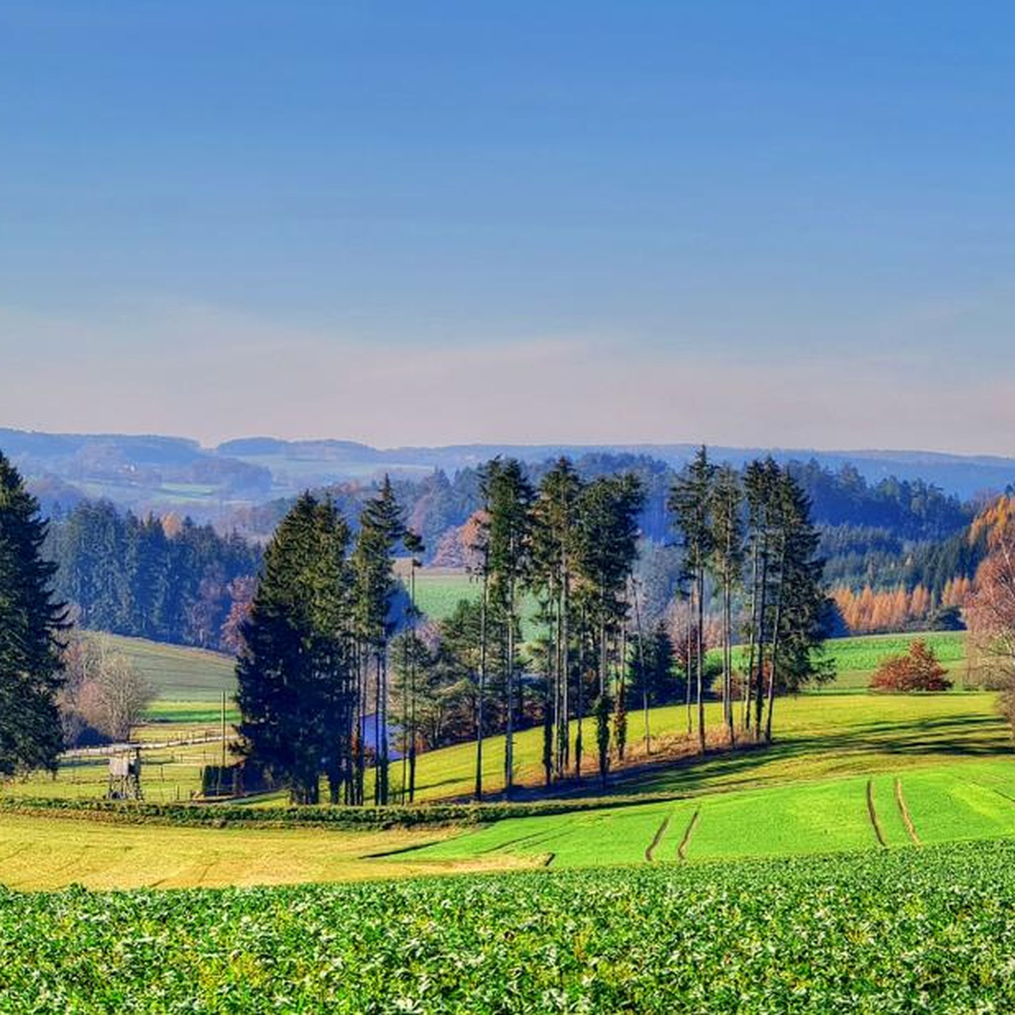
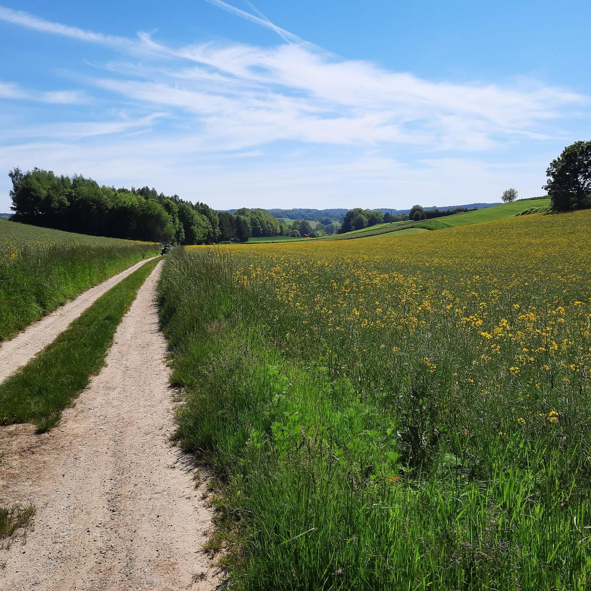
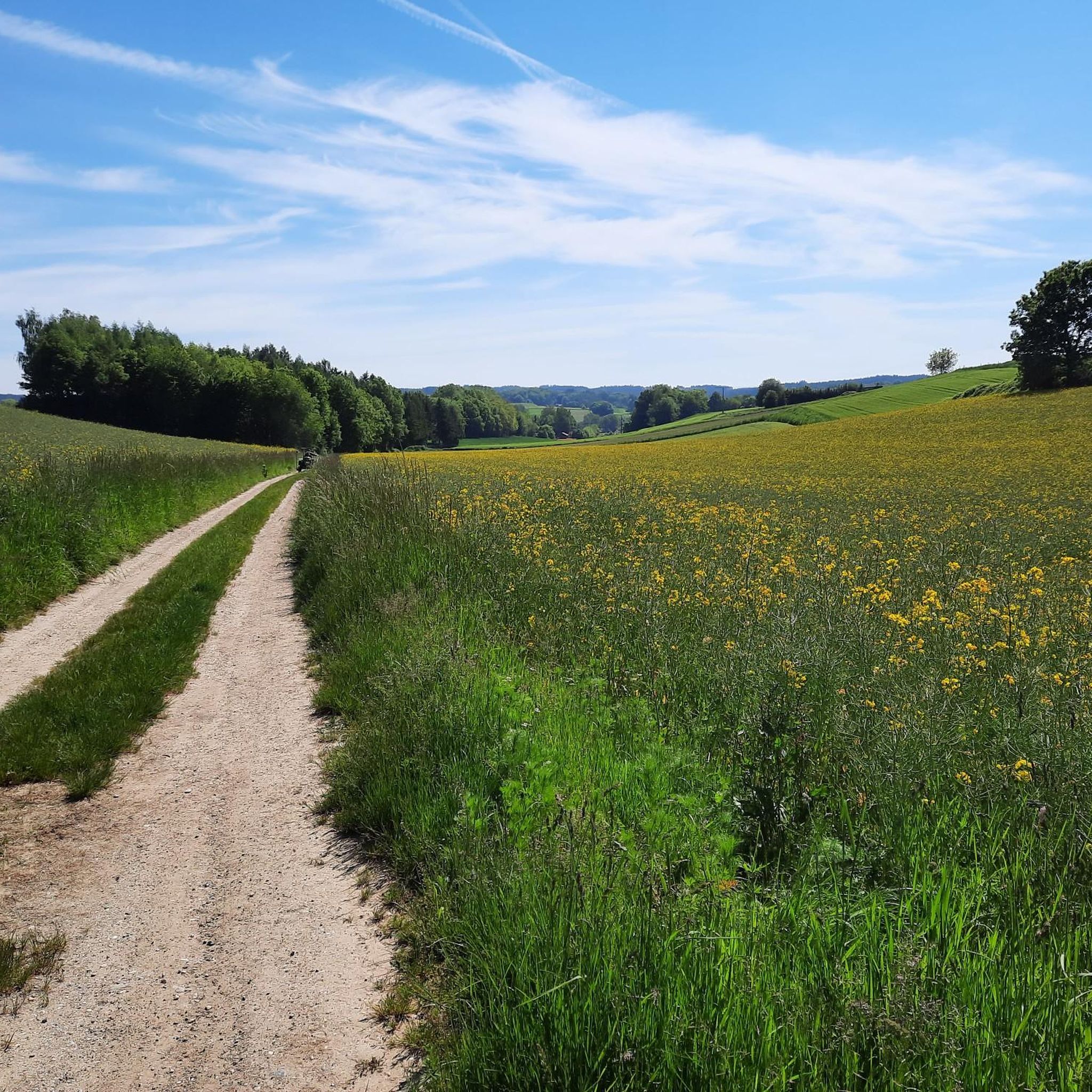
Hettenshausen is nestled within the picturesque Hallertau, the world's largest contiguous hop-growing region. You can expect to hike through expansive hop fields, small forests, and along the serene Ilm River meanders. The terrain is generally gently rolling to moderately hilly, with agricultural lands interspersed with woodlands and riverine environments.
What do other hikers enjoy most about the trails in Hettenshausen?
The hiking trails around Hettenshausen are highly rated by the komoot community, with an average score of 4.6 stars from over 1600 reviews. Hikers often praise the varied terrain, the peaceful atmosphere of the woodlands, and the unique scenery of the hop gardens.
Are there easy hiking trails suitable for beginners or families in Hettenshausen?
Yes, Hettenshausen offers many easy trails perfect for beginners and families. For example, the Beehive in the Forest loop from Straßhof is an easy 3.1-mile (5.0 km) trail that takes about 1 hour 19 minutes to complete, leading through local woodlands. Another great option is the Water Wheel on the Gerolsbach – Wooden Bench in Upper Bavaria loop from Niederscheyern, an easy 4.7-mile (7.5 km) path alongside the Gerolsbach river.
Can I find circular hiking routes in Hettenshausen?
Absolutely. Many of the trails around Hettenshausen are designed as loops, allowing you to start and end at the same point. Examples include the popular Beehive in the Forest loop from Straßhof and the Play trail – Fitness trail loop from Pfaffenhofen an der Ilm.
Are there any interesting landmarks or natural sights to see along the hiking trails?
Yes, the region offers several points of interest. You can explore the unique landscape of the Hallertau hop fields, walk along the Ilm River, or visit the "Benjes- und Wildschutzhecke und -Tümpel" nature reserve. Nearby, you might also encounter highlights like the Brautlache lake or the Ancient Burial Mounds.
Are dogs allowed on the hiking trails in Hettenshausen?
Generally, dogs are welcome on the hiking trails around Hettenshausen. However, it's always recommended to keep them on a leash, especially when passing through agricultural areas, near livestock, or within nature reserves like the "Benjes- und Wildschutzhecke und -Tümpel" to protect local wildlife and ensure a pleasant experience for all hikers.
What is the best time of year to go hiking in Hettenshausen?
The best time to hike in Hettenshausen is typically from spring through autumn. During these seasons, the weather is pleasant, and the hop fields are lush and green, offering picturesque views. Late summer, when the hops are ready for harvest, provides a particularly unique regional experience.
Are there any longer or more challenging hikes available?
While most trails are easy to moderate, you can find longer routes that offer more of a challenge. The Pilgrimage Church Herrnrast – Brautlache loop from Ilmmünster is a moderate 8.4-mile (13.5 km) trail with over 150 meters of elevation gain, taking approximately 3 hours 30 minutes to complete.
Are there options for parking near the trailheads in Hettenshausen?
Yes, many trailheads around Hettenshausen and the surrounding villages offer parking facilities. It's common to find designated parking areas, especially near popular starting points for hiking loops. Always check local signage for specific parking regulations.
Can I access hiking trails in Hettenshausen using public transport?
Hettenshausen and the wider Pfaffenhofen district have some public transport connections, primarily bus services. While some trailheads might be accessible by bus, it's advisable to check local bus schedules and routes in advance to plan your journey effectively, as services might be less frequent in rural areas.
Most popular routes around Hettenshausen
Most popular attractions around Hettenshausen

Get inspired with the komoot mobile app


Explore more
Browse the best Hikes in other regions.
