The best walks and hikes in Herberton Range National Park
4.5
(10)
78
hikers
5
hikes
Hiking in Herberton Range National Park offers diverse landscapes, from high-altitude rainforest to drier open forests and granitic terrain. Situated at nearly 1,000 meters above sea level, the park provides a temperate climate for exploration. Majestic peaks like Mount Baldy and Yabi Mountain offer challenging ascents and expansive views across the Atherton Tableland. The region is characterized by varied forest ecosystems, scenic lookouts, and natural water features, making it a significant biodiversity hotspot.
Best hiking trails in Herberton Range National…
Last updated: July 10, 2026
4.0
(1)
5
hikers
5.73km
01:44
180m
180m
Easy hike. Great for any fitness level. Easily-accessible paths. Suitable for all skill levels.
5.0
(1)
4
hikers
12.8km
04:01
490m
490m
Moderate hike. Good fitness required. Easily-accessible paths. Suitable for all skill levels.

Sign up for free
5.0
(1)
16
hikers
5.89km
01:56
270m
270m
Easy hike. Great for any fitness level. Easily-accessible paths. Suitable for all skill levels.
4.1
(7)
39
hikers
7.45km
02:29
350m
350m
Moderate hike. Good fitness required. Easily-accessible paths. Suitable for all skill levels.
14
hikers
4.65km
01:45
310m
310m
Moderate hike. Good fitness required. Easily-accessible paths. Suitable for all skill levels.
Our route recommendations are based on thousands of hikes, rides, and runs completed by other people on komoot.
Start today with a free account
Your next adventure awaits.
Login or Signup
Popular around Herberton Range National Park
Tips from the Community

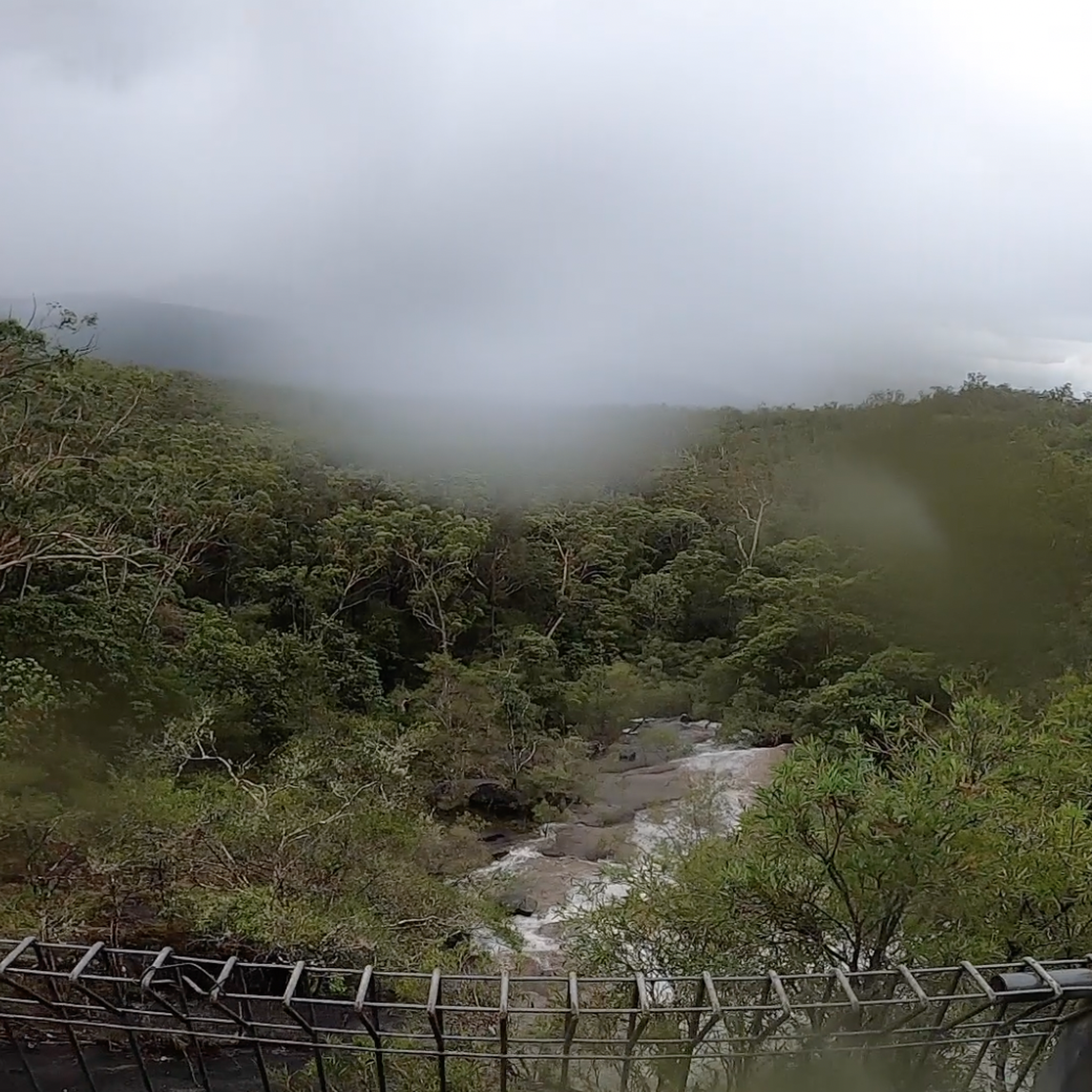
This trailhead is the main access point for walks to Mount Baldy, Yabi Mountain, and the full circuit in the Herberton Range State Forest. There is information signage with route options to help walkers choose between shorter summit hikes or the full circuit, and parking areas right next to the trailhead off Rifle Range Road.
0
0
Baldy–Yabi Circuit Walk is a relatively challenging loop that runs just over 8 kilometres in the Herberton Range, connecting the summits of Mount Baldy and Yabi Mountain through wet sclerophyll forest, rainforest, and along rocky ridgelines. Steep climbs, loose rock, and changing terrain can make it a strenuous trek, but the reward for your efforts is sweeping views across the Atherton Tablelands and Lake Tinaroo. The route is popular for its variety of landscapes, combining exposed lookout points with cooler, shaded forest sections on the way down.
0
0
Yabi Mountain Lookout sits on the 1,055-metre summit of Yabi Mountain, with fantastic elevated views across the Atherton Tablelands, surrounding forested ranges, and Lake Tinaroo in the distance. Reached via the Baldy–Yabi Circuit or a shorter return walk, this lookout is slightly less steep to access than nearby Mount Baldy while still providing breathtaking scenery, especially in clear weather.
0
0
Frequently Asked Questions
How many hiking trails are available in Herberton Range National Park?
There are over 5 hiking routes documented in Herberton Range National Park, catering to various fitness levels. You'll find a mix of easy and moderate trails to explore the diverse landscapes.
What is the best time of year to hike in Herberton Range National Park?
Thanks to its elevated position at just under 1,000 meters above sea level, Herberton Range National Park enjoys a more temperate climate than the coastal lowlands. This, combined with lower rainfall and resilient granitic terrain, means many trails are accessible year-round, offering comfortable hiking conditions even when other areas might be too hot or humid.
Are there any easy hiking trails suitable for families in Herberton Range National Park?
Yes, the park offers several easy trails perfect for families. Consider the Mount Ida loop from Herberton, which is just under 6 km with a gentle elevation gain. Another great option is the Yabi Mountain Lookout via Baldy-Yabi Circuit Walk, also around 6 km, offering rewarding views without extreme difficulty.
Where can I find scenic viewpoints or lookouts in Herberton Range National Park?
The park boasts several excellent viewpoints. You can enjoy panoramic vistas from Drovers Lookout, which offers sweeping eastern views over the tablelands. The Yabi Mountain Lookout is another popular spot, accessible via a rewarding loop walk. For more challenging views, the summit of Mount Baldy provides expansive eastern views across the Atherton Tableland and Lake Tinaroo.
Are there any loop trails in Herberton Range National Park?
Yes, several trails in the park are designed as convenient loops. For an easy option, try the Mount Ida loop from Herberton. If you're looking for a moderate challenge, the Saint Patrick Hill – Stewart Head loop from Herberton is a longer circuit. Additionally, the Mount Baldy Summit Signpost – Dry Creek Bed Crossing loop from Atherton offers a moderate loop experience.
What kind of terrain can I expect on the hiking trails?
The terrain in Herberton Range National Park is diverse. You'll encounter everything from high-altitude rainforest and endangered wet sclerophyll forest to drier open forests. While many trails are well-maintained, some more challenging routes, particularly to peaks like Mount Baldy, can feature steep sections and loose rock. Always stay on marked trails due to the historical mining activity in the area.
What kind of wildlife can I see while hiking in the park?
Herberton Range National Park is a biodiversity hotspot, with parts recognized within the Wet Tropics World Heritage Area. The diverse forest ecosystems are home to a wide range of animals, many endemic to the Wet Tropics. Keep an eye out for unique species like golden bowerbirds and various other native birds and marsupials.
Are there any challenging hikes for experienced trekkers?
While the guide features moderate trails, the region itself offers more strenuous options. The ascent to Mount Baldy, for instance, is known for being a difficult and strenuous hike with challenging terrain, rewarding experienced trekkers with expansive views from its summit.
What do other hikers enjoy most about Herberton Range National Park?
The area is highly rated by the komoot community, with an average score of 4.5 stars. Reviewers often praise the diverse landscapes, the rewarding views from lookouts and peaks, and the opportunity to experience a more temperate climate compared to the coastal regions, making for comfortable hiking.
Is there parking available at the trailheads?
Yes, parking is generally available at the main access points and trailheads within and around Herberton Range National Park. Specific parking details can often be found on individual route pages or local park information boards.
Are there any historical sites or points of interest along the trails?
Herberton is a historic mining town, and the park's history is intertwined with this past. While hiking, you're advised to stay strictly on marked trails due to the presence of hidden or obscured deep mine shafts. Guided walks of the Great Northern Mine track are available in the wider area, offering a glimpse into the region's rich mining heritage.
Most popular routes in Herberton Range National Park

Get inspired with the komoot mobile app


Explore more
Browse the best Hikes in other regions.
