The best running trails in Derrimut Grassland Nature Conservation Reserve
331
runners
27
runs
Jogging in Derrimut Grassland Nature Conservation Reserve offers routes through expansive native grasslands, characterized by species such as Kangaroo Grass. The reserve features natural drainage lines that periodically form wetland areas like Anderson's Swamp, adding ecological diversity. Maintenance tracks within the reserve provide pathways and offer views of the city skyline, juxtaposing natural settings with urban proximity. The terrain is generally flat with minimal elevation changes, making it suitable for various running abilities.
Best jogging routes in Derrimut Grassland Nature…
Last updated: July 8, 2026
4
runners
5.28km
00:33
10m
10m
Moderate run. Good fitness required. Mostly paved surfaces. Suitable for all skill levels.
5
runners
17.0km
01:47
100m
100m
Hard run. Very good fitness required. Mostly paved surfaces. Suitable for all skill levels.

Sign up for free
9
runners
Hard run. Very good fitness required. Mostly paved surfaces. Suitable for all skill levels.
3
runners
7.89km
00:49
10m
10m
Moderate run. Good fitness required. Mostly paved surfaces. Suitable for all skill levels.
44
runners
21.9km
02:15
30m
30m
Hard run. Very good fitness required. Mostly paved surfaces. Suitable for all skill levels.
Get access to more routes and recommendations from other explorers.
Sign up for free
Already have an account?
Our route recommendations are based on thousands of hikes, rides, and runs completed by other people on komoot.
Start today with a free account
Your next adventure awaits.
Login or Signup
Popular around Derrimut Grassland Nature Conservation Reserve
Tips from the Community

Located along the foreshore in Williamstown, Commonwealth Reserve has excellent views across the water to the city skyline. You'll also find several historical attractions such as the Wilkinson Drinking Fountain and the Tide Gauge House. Nearby Nelson Place offers a wide range of restaurants, bars, and shops should you want to linger a while.
0
0

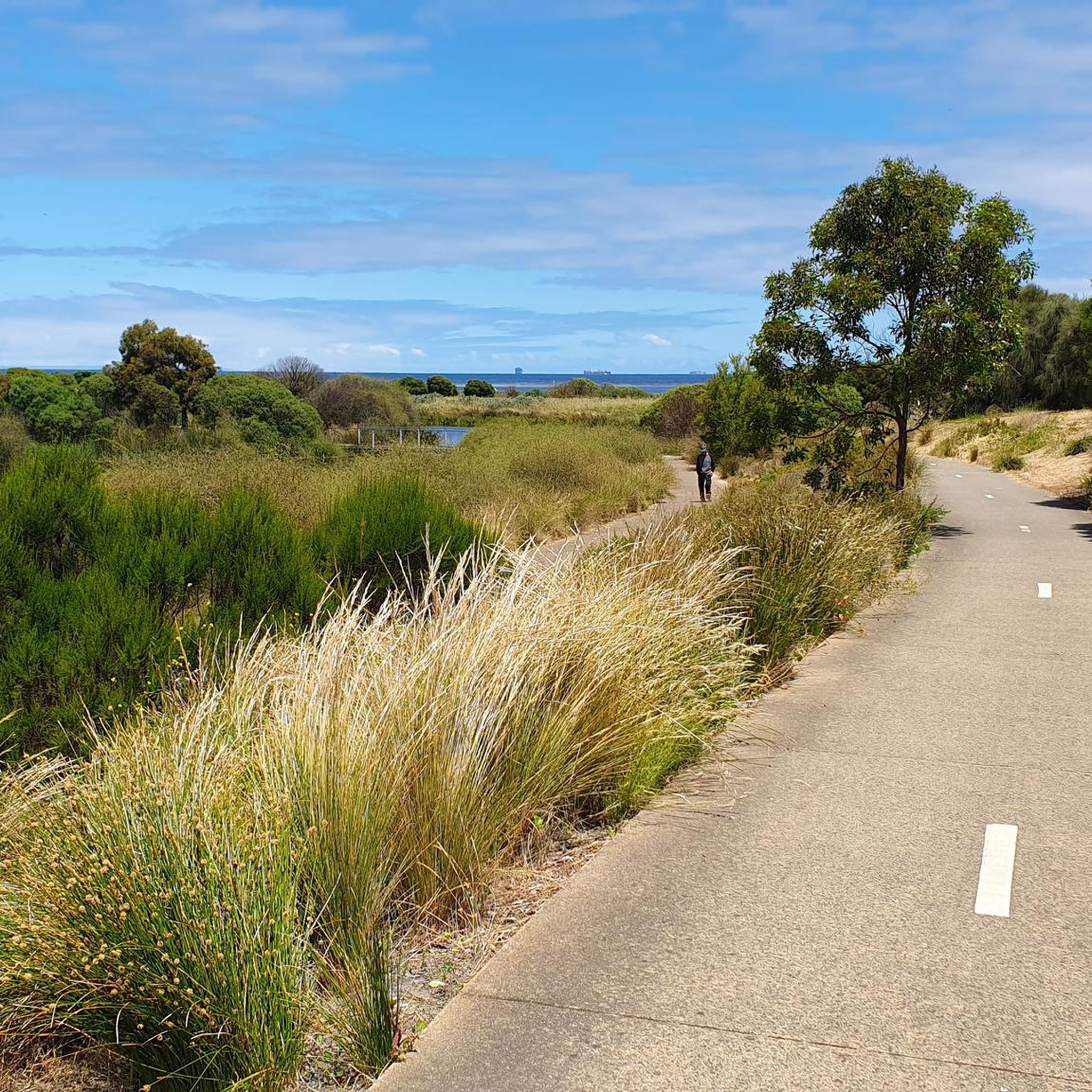
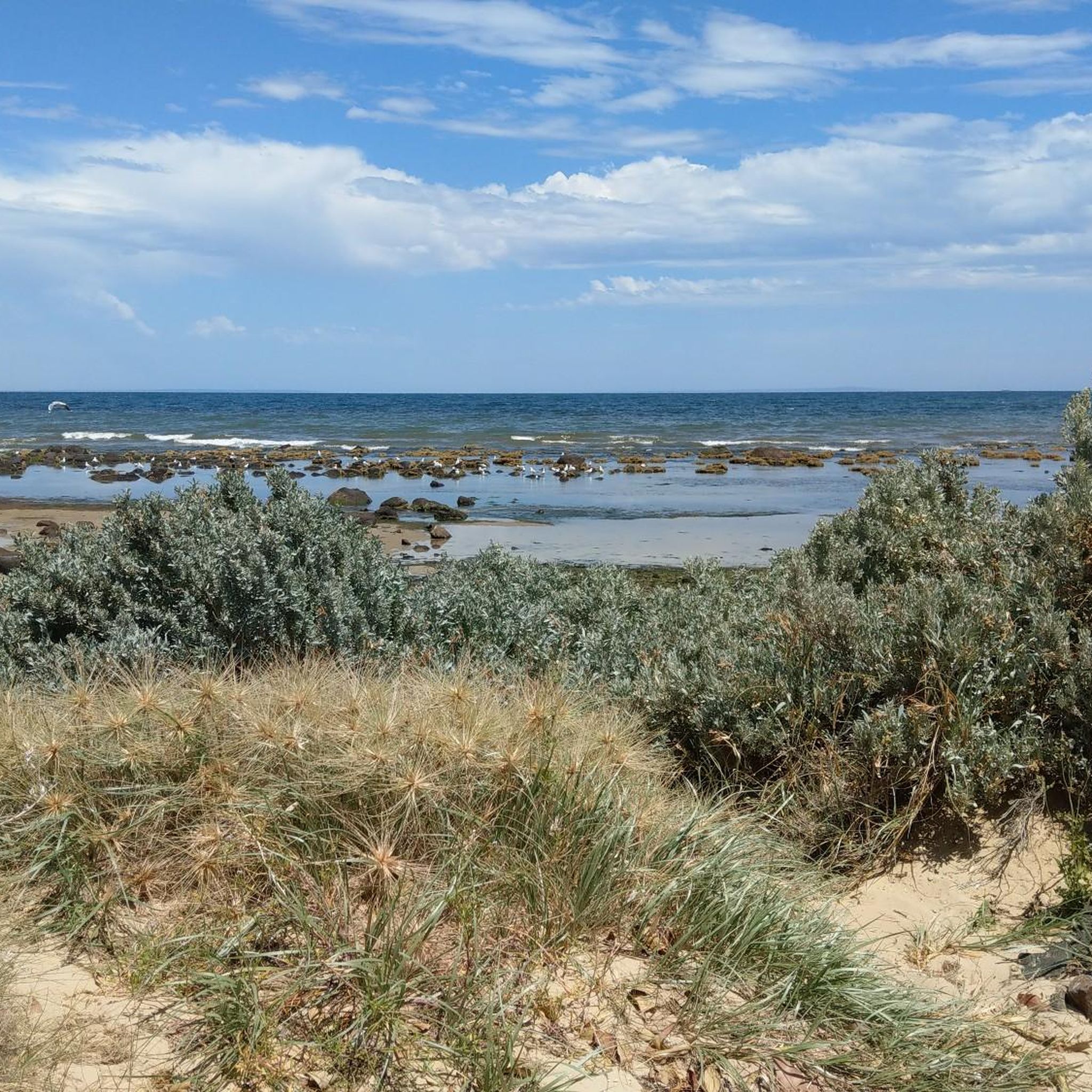
Williamstown Beach is known for its golden sand, calm waters, and views across the harbour. In summer, it's popular with swimmers, picnickers, and walkers enjoying the Hobsons Bay Coastal Trail. The beach is near the Williamstown Ferry Terminal, a convenient ferry service going to downtown Melbourne.
0
0
The Point Gellibrand Timeball Tower is a maritime landmark sitting on the grassy lawns of Hobsons Bay. It was built in the 19th century for timekeeping. This tower was used to coordinate shipping schedules and help with accurate navigation for ships coming in and out of the port. It still stands today though not used by ships anymore it remains as an interesting landmark.
1
0

The North West Plain is the only designated off-leash area within Newport Lakes Reserve, giving dogs space to run freely beside the park’s lakes, wetlands, and walking trails. The open grassy area sits away from the more environmentally sensitive parts of the reserve, helping protect the surrounding bird habitat and revegetation zones while still giving plenty of room for exercise and play.
0
0
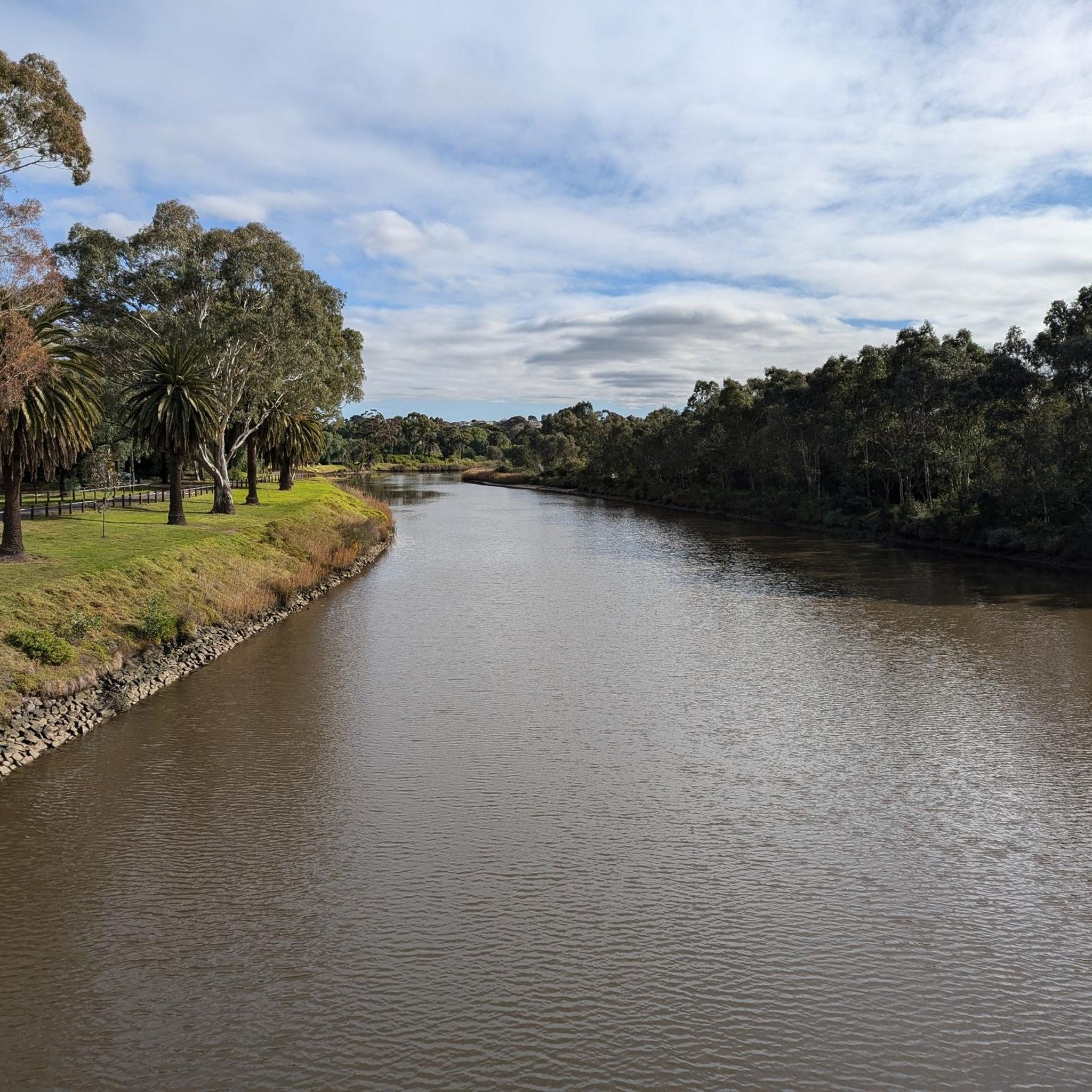
Maribyrnong Valley Parklands is a beautiful and large open area just a short distance from the Melbourne CBD. Visitors can a wide variety of facilities ranging from playground and picnic areas to sports fields and a network for multi-use paths. The parklands are split by the Maribyrnong River that winds its way through the grounds on its final approach to its confluence with the Yarra River.
0
0
The Maribyrnong River has its headwaters in the Great Dividing Range Near Mount Macedon where is flows for 40 kilometers before its confluence with the Yarra River. The name stems from the Woiwurrung language of the local Wurundjeri people and it roughly translates to "I can hear the ring-tailed possum". As the river nears its terminus at the Yarra River walkers, runners, and cyclists can follow the Maribyrnong River Trail through the northwestern suburbs of Melbourne through beautiful parklands and quiet neighbourhoods.
0
0

A significant part of Melbourne's early Maritime History
0
0
Frequently Asked Questions
Is public access permitted for jogging in Derrimut Grassland Nature Conservation Reserve?
While the reserve is a significant protected area, some sources indicate that public access for activities like jogging may be restricted or limited. It is managed by Parks Victoria, so it's advisable to verify current public access regulations directly with Parks Victoria before planning your visit to ensure compliance.
What kind of terrain can I expect on the running trails in the Derrimut Grassland area?
The terrain is generally flat with minimal elevation changes, making it suitable for various running abilities. The routes primarily traverse expansive native grasslands, including areas of Kangaroo Grass, and utilize existing maintenance tracks.
Are there running routes suitable for beginners or those looking for an easy run?
Yes, the area offers several easy and moderate running options. For instance, the Running loop from Deer Park is a moderate 3.3 miles (5.3 km) trail that provides a straightforward path through the grassland environment.
Are there challenging running routes for experienced runners?
Absolutely. For those seeking a more demanding experience, routes like the Dodds loop from Ginifer offer a difficult 10.5 miles (17.0 km) path with more varied terrain and greater elevation gain. Another challenging option is the Swan & Pelican Pond – Jawbone Marine Sanctuary loop from Emmanuel College St Paul's Campus, which is 12.4 miles (19.9 km) long.
What natural features or landmarks can I see while running in the reserve?
The reserve is characterized by its expansive native grasslands and natural drainage lines that periodically form wetland areas like Anderson's Swamp or Lake Stanley, adding ecological diversity. You might also encounter historical elements such as nearby stone walls.
Can I spot any wildlife during my run in the Derrimut Grassland Nature Conservation Reserve?
The reserve is a biodiversity hotspot, home to various wildlife including bandicoots, Fat-tailed Dunnarts, native rodents, and different reptiles and frogs. It also protects the critically endangered Spiny Rice Flower, offering opportunities for nature observation.
Do any running routes offer views of the city?
Yes, maintenance tracks within the reserve can offer views of the city skyline, providing an interesting juxtaposition of natural tranquility and urban proximity during your run.
Are there circular running routes available in the area?
Many of the running paths in the Derrimut Grassland area are designed as loops. Examples include the Running loop from Deer Park and the Running loop from Emmanuel College St Paul's Campus, which are popular choices for a complete circuit.
Is there parking available near the running trails?
While the guide focuses on the routes themselves, specific parking facilities within the reserve are not detailed. Given potential access restrictions, it's recommended to check with Parks Victoria or local council information regarding designated parking areas for public access points, if available.
Can I reach the Derrimut Grassland Nature Conservation Reserve by public transport?
Information on direct public transport access to the reserve's running trails is not explicitly provided. It's advisable to consult local public transport schedules and routes to nearby areas and confirm access points to the reserve.
Are dogs allowed on the running trails in Derrimut Grassland Nature Conservation Reserve?
The reserve is managed by Parks Victoria, and regulations regarding dogs in nature conservation areas can vary. Due to the sensitive grassland ecosystem and protected wildlife, it is highly probable that dogs are restricted or must be kept on a leash in designated areas only. Please check Parks Victoria's official guidelines for their specific dog policy.
What is the best time of year to go running in the reserve?
The best time to visit can depend on personal preference. The grasslands offer unique beauty year-round. However, consider cooler months for more comfortable running temperatures, especially given the open nature of the reserve. Always check local weather conditions before heading out.
How many running routes are available in the Derrimut Grassland Nature Conservation Reserve area?
There are over 30 running routes available in the Derrimut Grassland Nature Conservation Reserve area, catering to various fitness levels with easy, moderate, and difficult options.
Most popular routes in Derrimut Grassland Nature Conservation Reserve

Get inspired with the komoot mobile app


Explore more
Browse the best Running Trails & Routes in other regions.
