The best road cycling routes in Fryers Ridge Nature Conservation Reserve
5.0
(1)
49
riders
7
rides
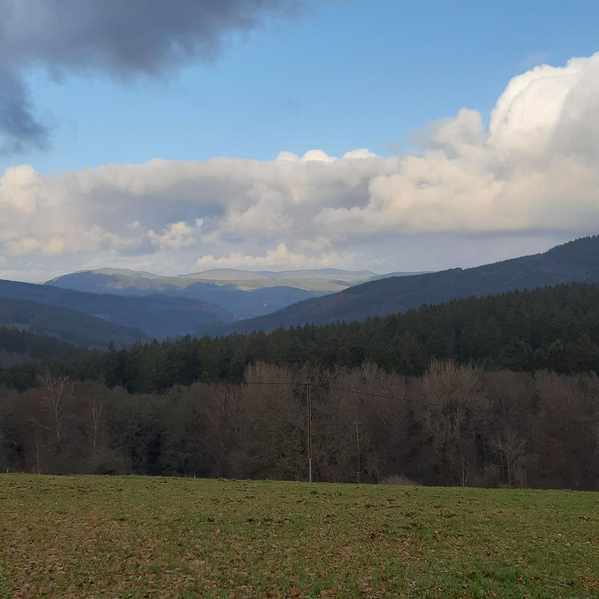
Road cycling routes in Fryers Ridge Nature Conservation Reserve traverse a landscape characterized by scenic woodlands and undulating ridges, underlain by ancient Ordovician slate geology. The reserve's eastern edge features the Coliban Main Channel service track, which offers a low-gradient path. While some internal tracks are unpaved, the broader Fryers Ranges State Forest, which encompasses the reserve, includes mostly paved surfaces suitable for road cycling. Cyclists can expect varied terrain, from four-wheel drive trails that may suit wider tires to…
Last updated: October 13, 2026
5
riders
60.4km
03:02
850m
850m
Moderate road ride. Good fitness required. Some segments of this route may be unpaved and difficult to ride.
12
riders
136km
06:59
1,540m
1,540m
Hard road ride. Very good fitness required. Some segments of this route may be unpaved and difficult to ride.

8
riders
49.9km
02:12
410m
410m
Moderate road ride. Good fitness required. Some segments of this route may be unpaved and difficult to ride.
5.0
(1)
3
riders
34.1km
01:28
230m
230m
Moderate road ride. Great for any fitness level. Some segments of this route may be unpaved and difficult to ride.
3
riders
76.2km
03:19
600m
600m
Moderate road ride. Good fitness required. Some segments of this route may be unpaved and difficult to ride.
Get access to more routes and recommendations from other explorers.
Already have an account?
Our route recommendations are based on thousands of hikes, rides, and runs completed by other people on komoot.
Start today with a free account
Your next adventure awaits.
Popular around Fryers Ridge Nature Conservation Reserve

Tips from the Community

Leaving Trentham’s old railway station, the trail soon disappears beneath tall eucalypts and follows the former rail line through the forest to Lyonville. The broad track stays mostly flat, so you can settle into the scenery rather than watching every step. Interpretive signs near the station reveal some of the railway’s history, while benches give you places to pause along the six-kilometre journey.
0
0

The Campaspe River winds through central Victoria and here in Kyneton you'll find an easy riverside trail follows the water’s edge. The river rises in the Great Diving Range and flows for 232 kilometres before its conflucence with the Murray River.
0
0
Near the northern parking area on Mount Alexander, Lang’s Lookout sits on a large granite platform surrounded by massive boulders and exposed rock. The short walk from the car park leads to open views across Sutton Grange and the surrounding plains, with the rocky outcrops giving this section of the mountain a more dramatic feel. The lookout is named after James H. Lang, who helped push for the construction of the tourist road across Mount Alexander in the 1920s.
0
0
Leanganook Track climbs through eucalypt forest and granite outcrops across Mount Alexander, following part of the wider Goldfields Track and Great Dividing Trail network. The route includes dirt bush track, rocky sections, and steeper climbs toward the summit areas, where large granite boulders and exposed viewpoints become more prominent. “Leanganook” is the Dja Dja Wurrung name for Mount Alexander, commonly translated as “his teeth,” reflecting the jagged granite formations along the mountain ridge.
0
0

Quite nice paved road takes you up to Flora Hill with a great lookout on top
0
0
Frequently Asked Questions
How many road cycling routes are available in Fryers Ridge Nature Conservation Reserve?
There are 7 road cycling routes available in Fryers Ridge Nature Conservation Reserve, catering to various skill levels. This includes 1 easy route, 5 moderate routes, and 1 difficult route.
What kind of terrain can I expect when road cycling in Fryers Ridge Nature Conservation Reserve?
Road cycling in the Fryers Ridge Nature Conservation Reserve area offers varied terrain. While the reserve itself features four-wheel drive trails and the Coliban Main Channel service track, which may be unpaved, the broader Fryers Ranges State Forest includes mostly paved surfaces. Cyclists should be prepared for a mix of surfaces, with some routes potentially requiring wider tires or gravel bikes.
Are there any paved roads suitable for road bikes within or near Fryers Ridge Nature Conservation Reserve?
Yes, while the immediate reserve has varied surfaces, the adjacent Fryers Ranges State Forest offers routes with mostly paved surfaces suitable for road cycling. Cyclists seeking a purely paved experience might combine their visit with rides on these nearby roads.
What natural features or wildlife might I encounter while cycling?
The reserve is characterized by scenic woodlands and undulating ridges. You can expect to see active birdlife and native wildlife such as wallabies and kangaroos. From June to December, the area is also known for spectacular wildflower displays, adding to the natural beauty of your ride.
Are there any routes with significant climbs or elevation gain?
Yes, some routes in the area feature substantial climbing. For instance, the View from Flora Hill Lookout loop from Malmsbury is a difficult route with over 1500 meters of elevation gain, offering expansive views.
Is parking available for road cyclists in Fryers Ridge Nature Conservation Reserve?
While specific parking areas for road cyclists are not detailed, the region is accessible, and visitors typically find parking at trailheads or nearby towns. It's advisable to check local signage upon arrival for designated parking spots.
Can I access Fryers Ridge Nature Conservation Reserve by public transport for cycling?
Public transport options directly to the Fryers Ridge Nature Conservation Reserve for cycling access are limited. Most visitors typically arrive by car. For specific public transport inquiries, it's best to consult local transport authorities for routes serving nearby towns like Taradale or Malmsbury.
Are there family-friendly road cycling options in the area?
For families or those seeking an easier ride, the Lake Joanna – Wesley Hill loop from Shire of Mount Alexander is an easy 31.5 km route. The Coliban Main Channel service track, bordering the eastern edge of the reserve, is also noted for its very low gradient, potentially offering a gentle option if its surface is suitable for your bike.
Are dogs allowed on cycling trails in Fryers Ridge Nature Conservation Reserve?
The policy regarding dogs on cycling trails within the Nature Conservation Reserve can vary. Generally, in nature conservation areas, dogs are often restricted or required to be on a leash. It's recommended to check official park regulations before bringing your dog.
Are there any circular road cycling routes in Fryers Ridge Nature Conservation Reserve?
Yes, many of the routes in the area are designed as loops. Examples include the Mount Alexander – Chewton H86 Bushland Reserve loop from Taradale, a moderate 59.7 km route, and the Roadbike loop from Malmsbury, a 34.1 km moderate trail.
What is the best time to visit Fryers Ridge Nature Conservation Reserve for road cycling?
The reserve offers a captivating experience throughout the year. From June to December, you can enjoy spectacular wildflower displays. However, for comfortable cycling, spring and autumn generally provide milder temperatures. Always check local weather conditions before heading out.
Where can I find refreshments or accommodation near Fryers Ridge Nature Conservation Reserve?
Nearby towns such as Taradale, Malmsbury, and Fryerstown offer amenities including cafes, pubs, and accommodation options. These towns serve as convenient bases for exploring the cycling routes in the Fryers Ridge area.
What do other road cyclists enjoy most about road cycling in Fryers Ridge Nature Conservation Reserve?
The area is highly rated by the komoot community, with an average score of 5.0 stars. Reviewers often praise the scenic woodlands, the varied terrain that offers both challenge and beauty, and the opportunity to experience native wildlife and wildflowers.
Most popular routes in Fryers Ridge Nature Conservation Reserve

Get inspired with the komoot mobile app


Explore more
Browse the best Road cycling routes in other regions.
