The best road cycling routes in Devilbend Natural Features Reserve
4.9
(11)
1,027
riders
34
rides
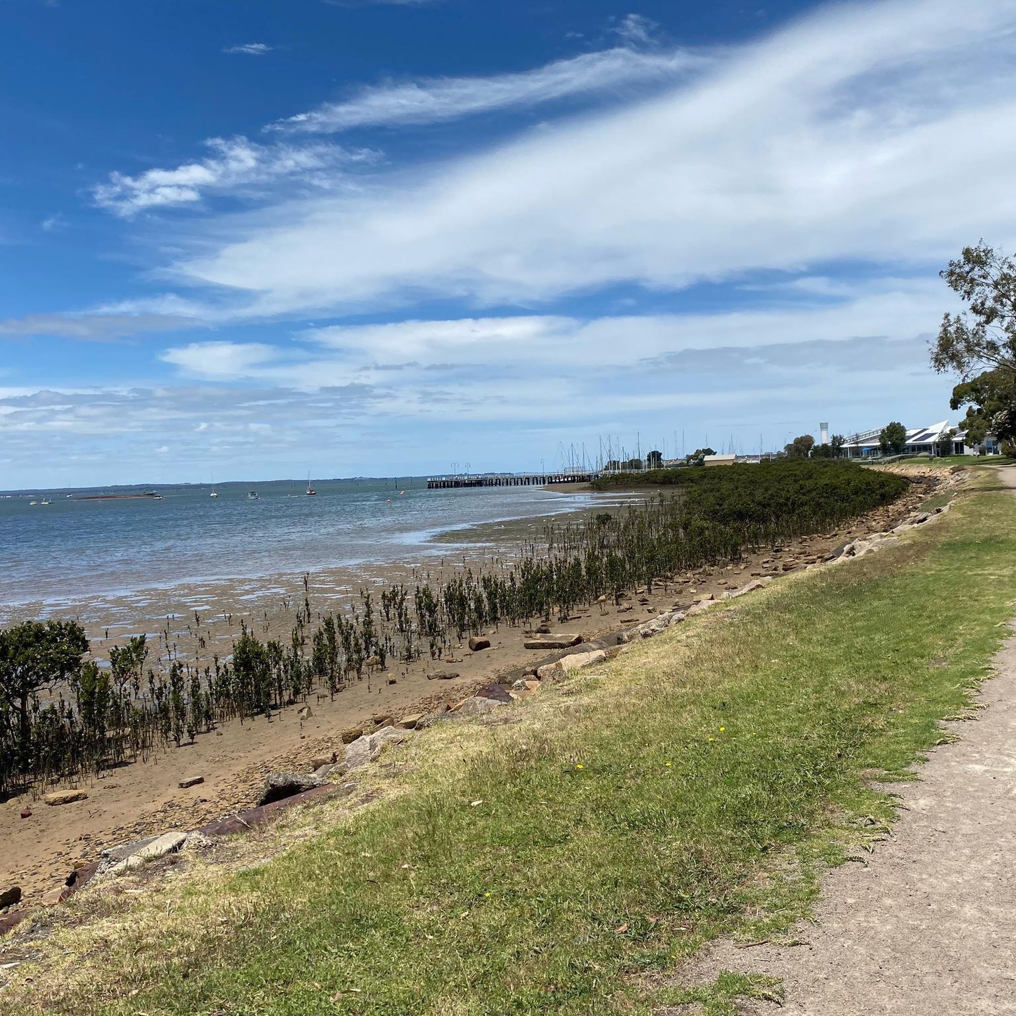
Road cycling in Devilbend Natural Features Reserve features a diverse landscape, encompassing coastal areas, estuaries, and elevated lookouts. The region is characterized by its natural bushland and proximity to the Mornington Peninsula coastline, offering varied terrain for road cyclists. Routes often include sections along beaches and through charming coastal towns, with some paths leading to significant viewpoints like Arthur's Seat. The elevation changes are moderate, providing engaging rides without extreme climbs.
Best road cycling routes in Devilbend Natural Features Reserve
…Last updated: July 8, 2026
5
riders
48.6km
02:12
560m
560m
Moderate road ride. Good fitness required. Mostly well-paved surfaces and easy to ride.
34
riders
32.5km
01:25
270m
270m
Easy road ride. Great for any fitness level. Mostly well-paved surfaces and easy to ride.

Sign up for free
5.0
(1)
31
riders
25.6km
01:14
250m
250m
Moderate road ride. Great for any fitness level. Some segments of this route may be unpaved and difficult to ride.
246
riders
93.2km
04:06
660m
660m
Moderate road ride. Good fitness required. Some segments of this route may be unpaved and difficult to ride.
5.0
(2)
88
riders
51.2km
02:37
600m
600m
Moderate road ride. Good fitness required. Some segments of this route may be unpaved and difficult to ride.
Get access to more routes and recommendations from other explorers.
Sign up for free
Already have an account?
Our route recommendations are based on thousands of hikes, rides, and runs completed by other people on komoot.
Start today with a free account
Your next adventure awaits.
Login or Signup
Popular around Devilbend Natural Features Reserve
Tips from the Community

Matthew Flinders Cairn marks the spot where Flinders is said to have climbed Arthurs Seat in 1802, leaving a paper record of his ship in a small pile of stones at the summit. The cairn now sits just below Chapman’s Point on the Arthurs Seat Summit Circuit, with wide views across Port Phillip Bay and the Mornington Peninsula. It’s a good short stop for both the lookout and the bit of early exploration history tied to the summit.
0
0

Red Hill Station is the western trailhead for the Red Hill Rail Trail, a perfect jumping-off point with plenty of parking. There is a small shopping centre with a café, nice sit-down restaurants, and a florist. The Red Hill Rail Trail trackhead has informational plaques about the area's history and the Red Hill Railway line that opened in 1921, and there is also a bike skills park.
0
0
Frequently Asked Questions
What are the typical difficulty levels for road cycling routes in Devilbend Natural Features Reserve?
The majority of road cycling routes in Devilbend Natural Features Reserve are classified as moderate, offering engaging rides without extreme climbs. There are also a few more challenging options for experienced riders, and a limited number of easier routes suitable for beginners.
How long are the road cycling routes in Devilbend Natural Features Reserve?
Route lengths vary significantly. You can find shorter loops, such as the Balcombe Estuary – Fisherman's Beach loop from Mount Martha at 14.4 miles (23.2 km), or longer, more extensive rides like the Arthur's Seat Lookout – London Arch loop from Mornington, which spans over 68 miles (110 km).
Are there circular road cycling routes available in Devilbend Natural Features Reserve?
Yes, many of the road cycling routes in the area are designed as loops, allowing you to start and finish at the same point. Examples include the Balcombe Estuary – Fisherman's Beach loop from Kirton Bushland Reserve and the Arthur's Seat Lookout – Schnapper Point Marina loop from Mornington.
What kind of scenery and viewpoints can I expect on the road cycling routes?
Road cycling in Devilbend Natural Features Reserve offers diverse scenery, from natural bushland and estuary views to coastal paths and charming towns. Many routes feature elevated lookouts, such as Arthur's Seat, providing panoramic views of the Mornington Peninsula coastline.
When is the best time of year to go road cycling in Devilbend Natural Features Reserve?
The region generally offers pleasant cycling conditions for much of the year. Spring and autumn provide mild temperatures, ideal for longer rides. Summer can be warm, especially inland, but coastal routes often benefit from sea breezes. Winter is typically cooler but still suitable for cycling, though some days may be wet.
Where are common starting points or trailheads for road cycling routes?
Routes often start from various points around the reserve and surrounding towns. Popular starting locations include Kirton Bushland Reserve, Mount Martha, and Mornington, providing convenient access to different sections of the road network.
Are there any cafes or refreshment stops along the road cycling routes?
Given the routes often pass through or near coastal towns like Mornington and Mount Martha, you'll find numerous opportunities for cafes, bakeries, and other refreshment stops. It's always a good idea to plan your route and check for amenities beforehand.
What do other road cyclists enjoy most about road cycling in Devilbend Natural Features Reserve?
The area is highly rated by the komoot community, with an average score of 4.6 stars. Reviewers often praise the varied terrain, the beautiful coastal and estuary views, and the engaging routes that cater to different ability levels.
How many road cycling routes are available in Devilbend Natural Features Reserve?
There are over 30 road cycling routes available in Devilbend Natural Features Reserve and the surrounding area, offering a wide range of options for different distances and experiences.
Are there road cycling routes suitable for families in Devilbend Natural Features Reserve?
While many routes are moderate, some shorter, flatter sections, particularly those closer to coastal towns or along dedicated paths, may be suitable for families with older children or those comfortable with road cycling. Always check the route details for distance and elevation before heading out.
Where can I park my car when road cycling in Devilbend Natural Features Reserve?
Parking is generally available in the towns and near popular starting points mentioned in the route descriptions, such as Kirton Bushland Reserve or public parking areas in Mornington and Mount Martha. Always check local signage for parking regulations.
What kind of wildlife might I spot while road cycling in the reserve?
As Devilbend Natural Features Reserve is known for its natural bushland, you might encounter various bird species, including waterbirds around the reservoir, and potentially kangaroos or wallabies, especially during quieter times of day. Always maintain a safe distance and respect wildlife.
Most popular routes in Devilbend Natural Features Reserve

Get inspired with the komoot mobile app


Explore more
Browse the best Road cycling routes in other regions.
