The best road cycling routes around Brannenburg
4.3
(1400)
25,139
riders
30
rides
Road cycling around Brannenburg is characterized by its location in the Alpine foothills, offering diverse terrain from river valleys to challenging mountain ascents. The region features well-paved roads suitable for various fitness levels, with prominent natural landmarks like the Wendelstein mountain. Cyclists can experience both flatter sections along the Inn River and significant elevation gains in the surrounding mountains.
Best road cycling routes around Brannenburg
- The most popular road cycling route is Valepp Valley Scenic Road – Valepp Scenic Road…
Last updated: August 22, 2026
4.9
(54)
1,452
riders
100km
05:18
1,780m
1,780m
Hard road ride. Very good fitness required. Mostly well-paved surfaces and easy to ride.
4.6
(15)
283
riders
52.7km
02:15
420m
420m
Moderate road ride. Good fitness required. Mostly well-paved surfaces and easy to ride.

Sign up for free
4.6
(38)
253
riders
29.8km
01:27
440m
440m
Moderate road ride. Good fitness required. Mostly well-paved surfaces and easy to ride.
4.8
(12)
185
riders
Moderate road ride. Good fitness required. Mostly well-paved surfaces and easy to ride.
4.7
(3)
169
riders
122km
06:48
2,500m
2,500m
Hard road ride. Very good fitness required. Mostly well-paved surfaces and easy to ride.
Get access to more routes and recommendations from other explorers.
Sign up for free
Already have an account?
Our route recommendations are based on thousands of hikes, rides, and runs completed by other people on komoot.
Start today with a free account
Your next adventure awaits.
Login or Signup
Popular around Brannenburg

Maximilian Trail in Germany — Lake Constance to Königssee
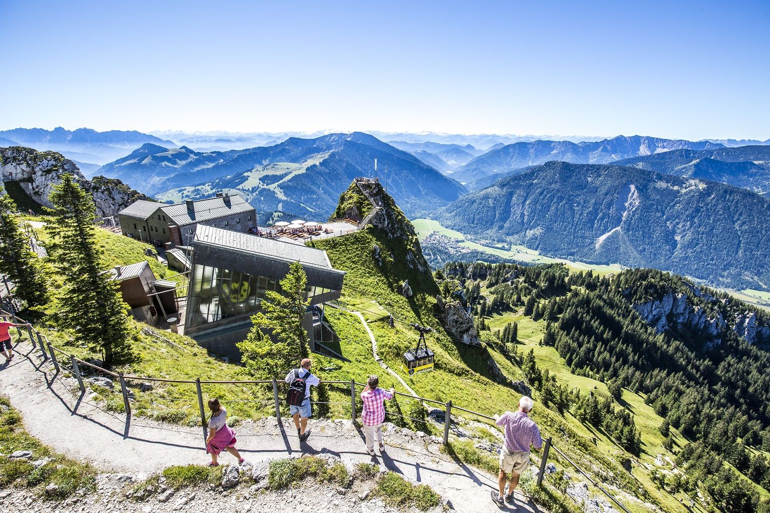
A little help to the top – mountain railways & cable cars in Chiemgau
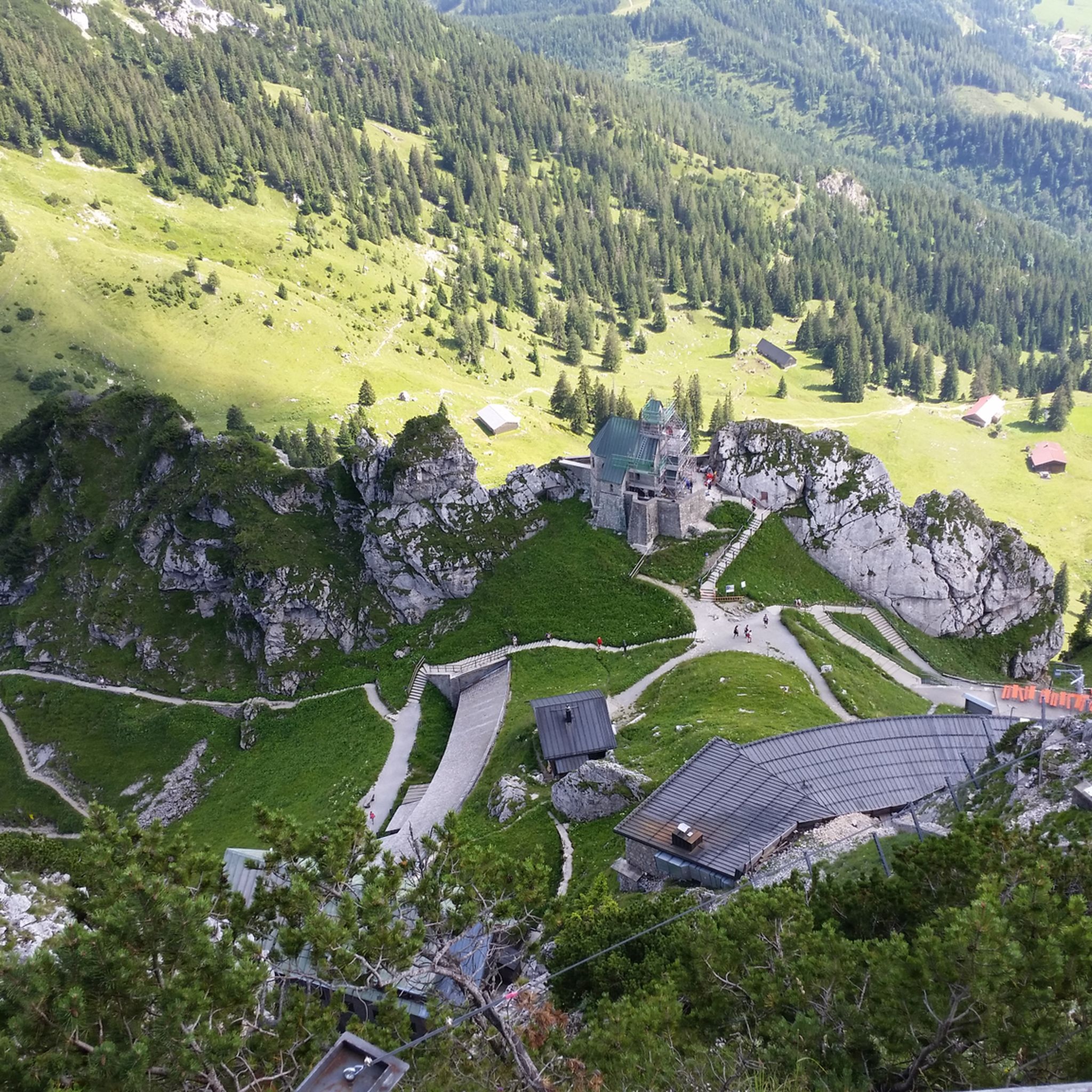
Hiking around Brannenburg
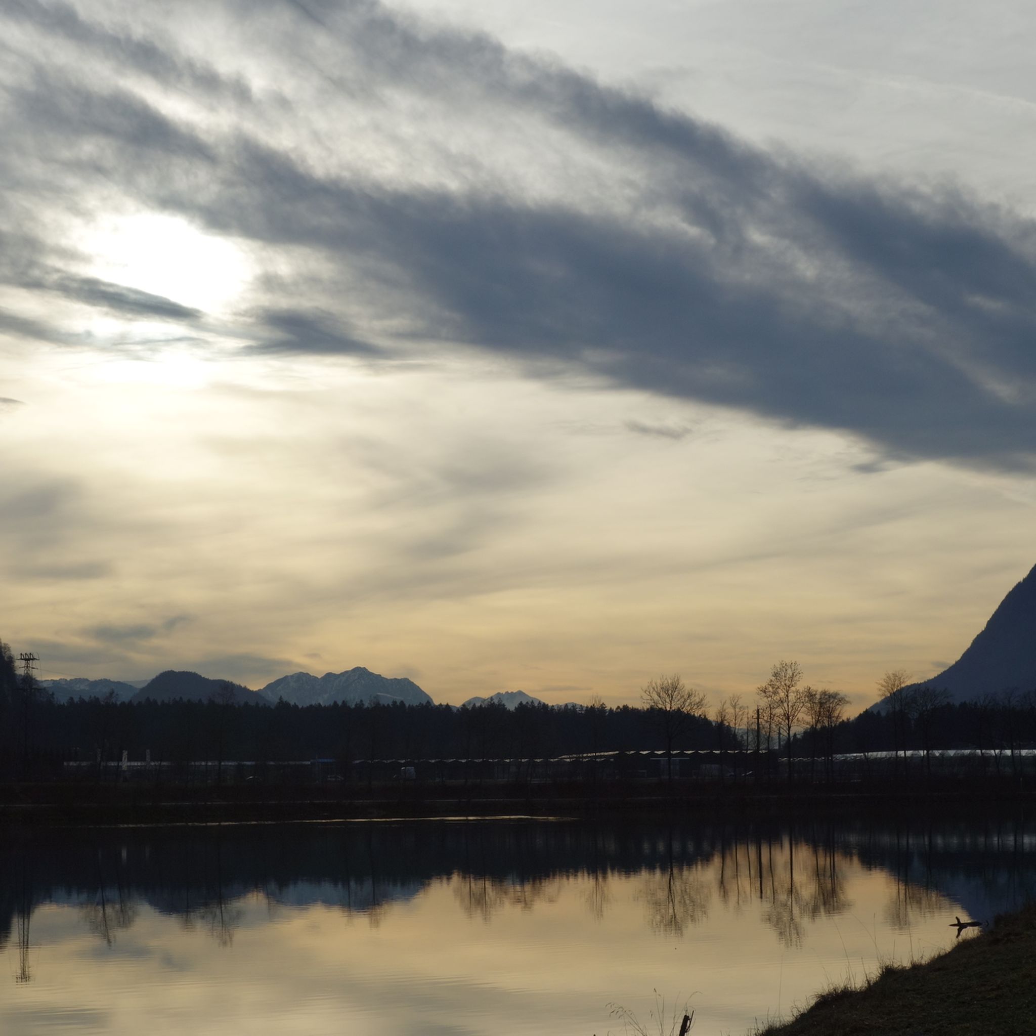
Cycling around Brannenburg
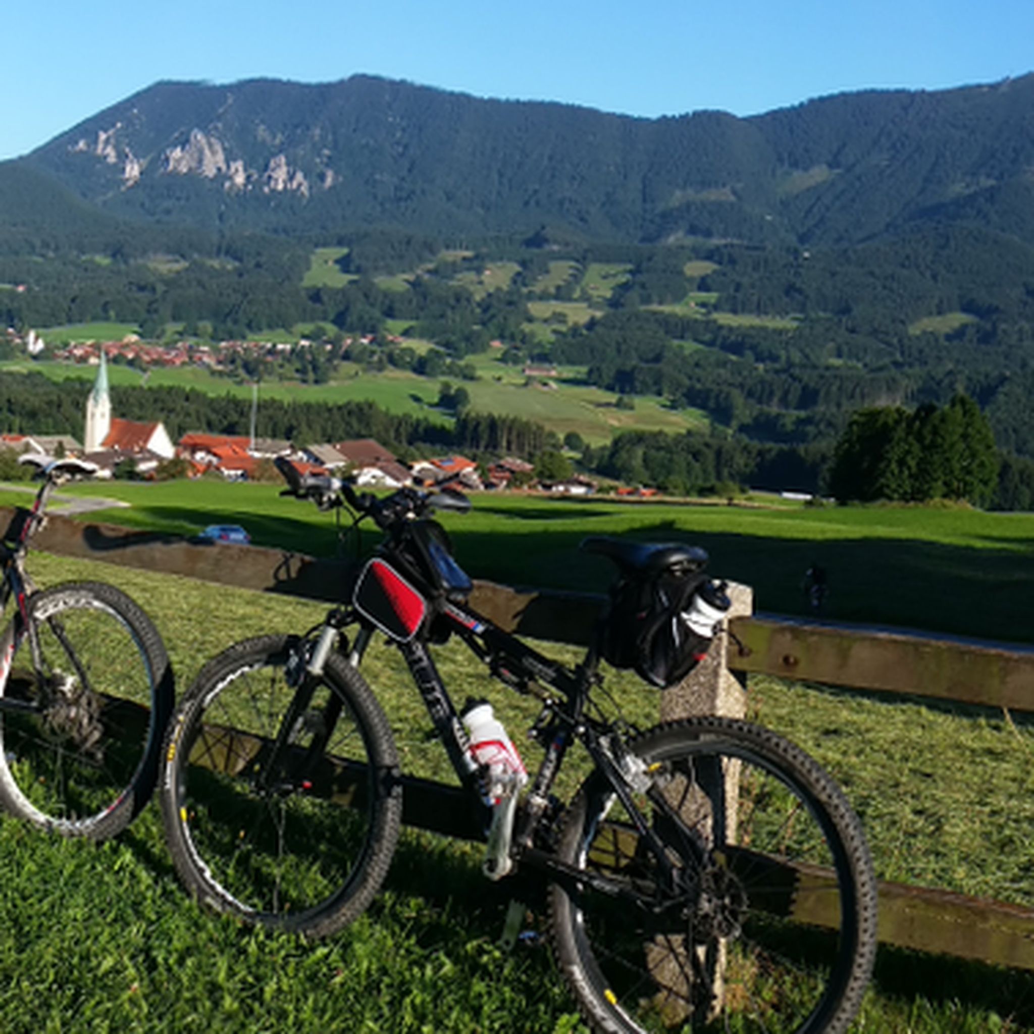
MTB Trails around Brannenburg
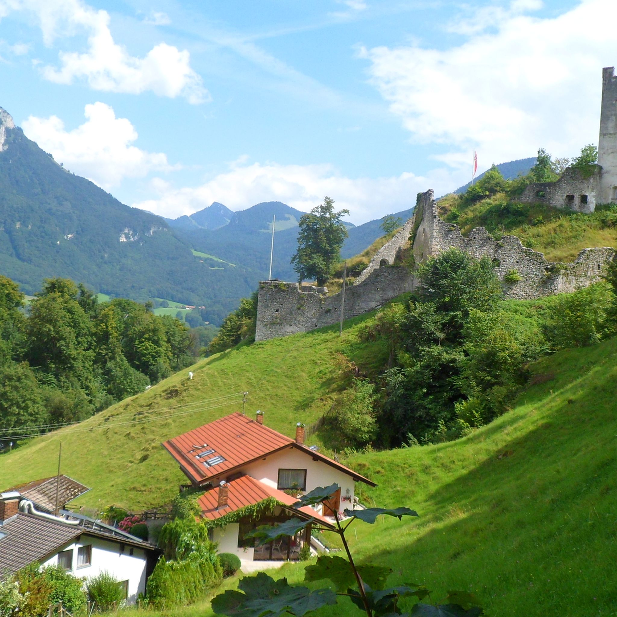
Mountain Hikes around Brannenburg
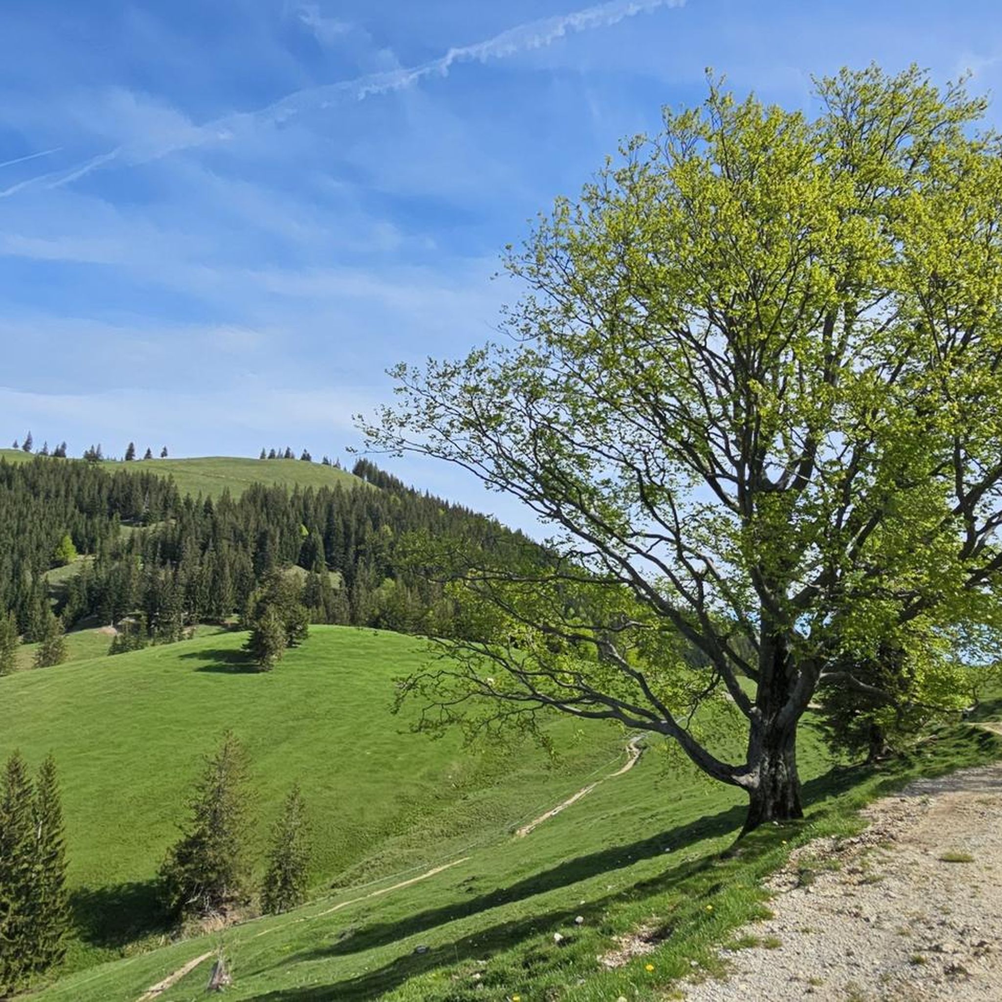
Running Trails around Brannenburg
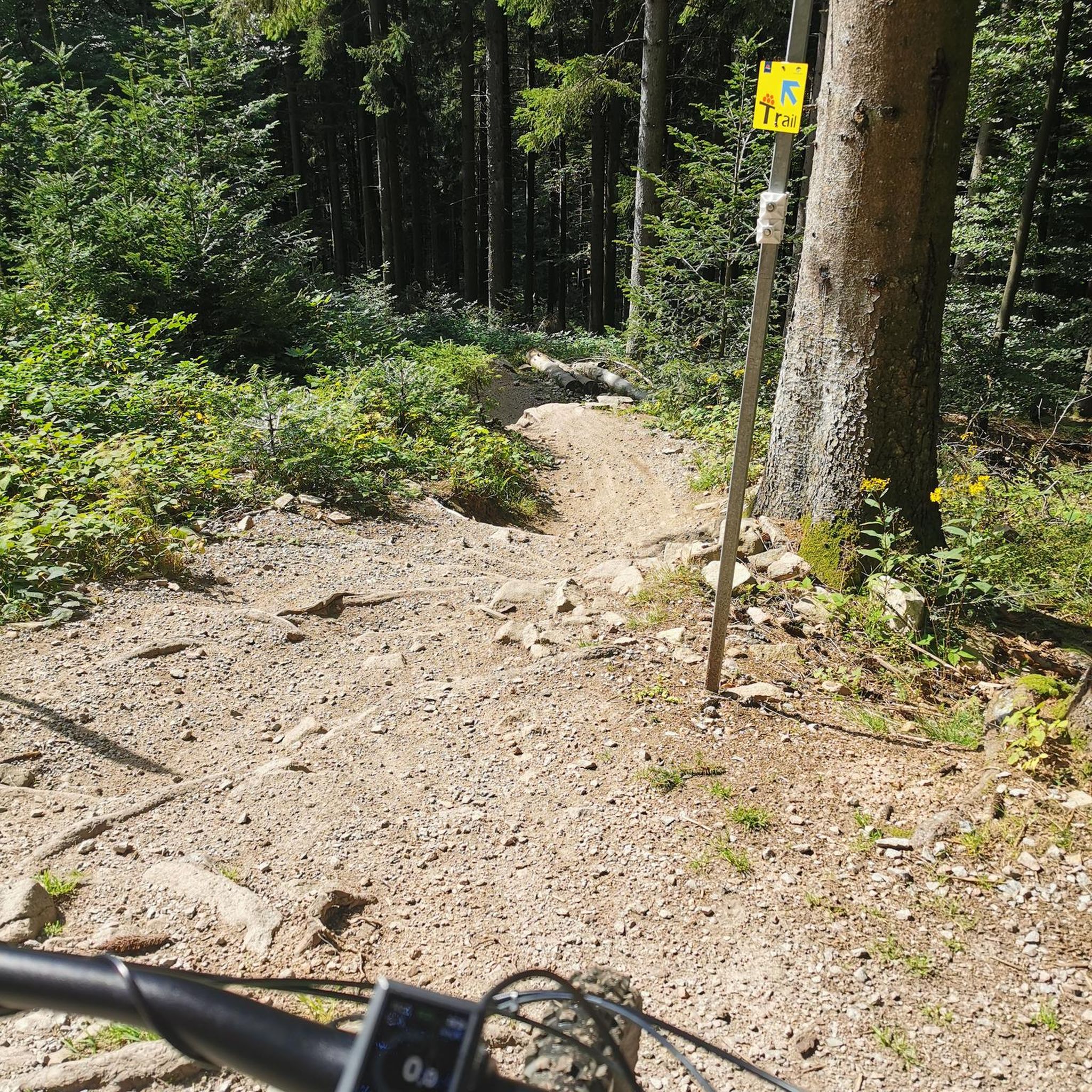
Gravel biking around Brannenburg


Tips from the Community

Here on the Bodensee-Königseeradweg, you have beautiful views of the Wendelstein or the Kaisergebirge mountains and orchards.
0
0

Incredibly nice to ride
0
0

Last/first village before/after the Inntal.
0
0
Before the ascent continues, you can risk a wonderful view into the valley here.
0
0

It flows here. Relaxed section on the Lake Constance-Königssee cycle path
0
0

Beautiful scenery on our bike tour.
1
0
2 lakes, many hills and at the end a beer
0
0

Idyllic segment
0
0
Frequently Asked Questions
What kind of terrain can I expect on road cycling routes around Brannenburg?
Road cycling around Brannenburg offers a diverse range of terrain. You'll find flatter sections along the Inn River valley, ideal for more relaxed rides, as well as challenging ascents into the Alpine foothills with significant elevation gains. The region is known for its well-paved roads, suitable for various fitness levels.
Are there road cycling routes suitable for beginners in Brannenburg?
Yes, Brannenburg offers routes suitable for beginners. While the region is known for its challenging climbs, there are also easier options, particularly those that follow the Inn River meadows. For example, the Moore um Raubling loop from Talbahnhof Brannenburg is a moderate route that features flatter sections.
What are some challenging road cycling routes in the Brannenburg area?
For experienced road cyclists seeking a challenge, Brannenburg offers routes with substantial elevation gains. The Valepp Valley Scenic Road – Valepp Scenic Road loop from Brannenburg is a difficult 100 km route with over 1,780 meters of elevation gain. The ascent to Sudelfeld Pass from nearby Kufstein also presents a hard road ride option.
What natural landmarks and viewpoints can I see while road cycling near Brannenburg?
The Brannenburg region is rich in natural beauty. You'll often encounter impressive mountain panoramas, with the Wendelstein mountain being a prominent natural landmark. Routes along the Inn River offer tranquil views of river meadows. For specific natural highlights, consider visiting the Legerwaldgraben Waterfall or the famous Tatzelwurm Waterfalls.
Are there any historical or cultural attractions along the road cycling routes?
Yes, you can combine your ride with visits to historical sites. The region features several castles and ruins. For instance, you might pass near Brannenburg Castle or the Falkenstein Castle Ruins. The Wendelstein Church, Germany's highest church, is also a notable landmark, though reaching the summit by bike can be very challenging.
What is the best season for road cycling in Brannenburg?
The best time for road cycling in Brannenburg is typically from spring through autumn. During these seasons, the weather is generally favorable, and the mountain passes are clear of snow. While some routes might be accessible in winter, conditions can be challenging due to snow and ice, especially at higher elevations.
Are there family-friendly road cycling routes in Brannenburg?
While many routes involve significant elevation, there are options for families, particularly those that stick to the flatter sections along the Inn River valley. These routes offer a more relaxed experience away from challenging climbs, allowing families to enjoy the scenic landscape at a comfortable pace.
What do other road cyclists say about their experience in Brannenburg?
The road cycling routes around Brannenburg are highly rated by the komoot community, with an average score of 4.5 stars from over 140 reviews. Cyclists often praise the diverse terrain, from tranquil river paths to challenging mountain ascents, and the stunning Alpine scenery that provides a dramatic backdrop to their rides.
Are there loop trails available for road cycling in Brannenburg?
Yes, many road cycling routes in Brannenburg are designed as loops, allowing you to start and end at the same point. Examples include the Tatzelwurm Pass – Single-Lane Rock Tunnel loop from Brannenburg and the View of Walchsee – Walchsee loop from Talbahnhof Brannenburg, offering varied distances and difficulties.
Where can I find cafes or restaurants along the road cycling routes in Brannenburg?
Brannenburg and its surrounding villages offer various cafes, pubs, and restaurants where cyclists can refuel. Mountain huts like the Rotwandhaus, while primarily for hikers and mountain bikers, also offer Bavarian delicacies and can be incorporated into longer rides or as a destination for a break, depending on your route choice.
How many road cycling routes are there in the Brannenburg area?
The Brannenburg region provides access to a comprehensive network of road cycling routes. On komoot alone, you can find over 30 distinct road cycling tours, with many more options available across the broader area, catering to various lengths, elevation profiles, and difficulty levels.
Most popular routes around Brannenburg
Most popular attractions around Brannenburg

Get inspired with the komoot mobile app


Explore more
Browse the best Road cycling routes in other regions.
