The best cycling routes in North Pine Dam Nature Refuge
4.4
(16)
296
riders
16
rides
Touring cycling routes in North Pine Dam Nature Refuge traverse a landscape characterized by riverine paths, local nature reserves, and areas around Lake Samsonvale. The terrain generally features gentle gradients and established pathways, suitable for various cycling abilities. The region offers a mix of natural settings, including wetlands and diverse habitats, with many routes following waterways and connecting green spaces. Paths include both paved and unpaved sections, providing varied touring experiences.
Best touring cycling routes in North Pine Dam Nature Refuge
- The most popular touring cycling route is Bike loop from Justin Somers Reserve, a 5.5 miles (8.8 km) trail that takes about 30 minutes to complete, offering a gentle ride through local parkland.
- Another top favourite among local touring cyclists is Chelsea Street Nature Reserve loop from Petrie, an easy 14.7 miles (23.7 km) path that leads through the Chelsea Street Nature Reserve.
- Local touring cyclists also love the Brighton Waterfront Pathway – Hornibrook Bridge loop from Kallangur, a 29.2 miles (47.0 km) trail leading along the waterfront, often completed in about 2 hours 45 minutes.
- Touring cycling in North Pine Dam Nature Refuge is defined by accessible river paths, local nature reserves, and varied loop routes. The network offers options for different ability levels, from easy rides to more challenging distances.
- The routes in North Pine Dam Nature Refuge are highly rated by the komoot community with an average score of 4.4 stars from over 20 reviews. More than 500 touring cyclists have used komoot to explore North Pine Dam Nature Refuge's varied terrain.
Last updated: July 4, 2026
5.0
(3)
35
riders
23.7km
01:27
130m
130m
Easy bike ride. Great for any fitness level. Mostly paved surfaces. Suitable for all skill levels.
31
riders
84.6km
05:50
1,340m
1,340m
Hard bike ride. Very good fitness required. Mostly paved surfaces. Suitable for all skill levels.

Sign up for free
1.0
(1)
22
riders
48.6km
02:50
160m
160m
Moderate bike ride. Good fitness required. Mostly paved surfaces. Suitable for all skill levels.
5.0
(1)
12
riders
Moderate bike ride. Good fitness required. Mostly paved surfaces. Suitable for all skill levels.
4
riders
38.4km
02:18
180m
180m
Moderate bike ride. Good fitness required. Mostly paved surfaces. Suitable for all skill levels.
Get access to more routes and recommendations from other explorers.
Sign up for free
Already have an account?
Our route recommendations are based on thousands of hikes, rides, and runs completed by other people on komoot.
Start today with a free account
Your next adventure awaits.
Login or Signup
Tips from the Community

The Lanita Rail Trail (also known as the Samford Cycle Link or part of the broader Ferny Grove to Samford Rail Trail) is a historic rail path that is shared by runners, walkers and bikers. It's paved and follows the old Dayboro branch railway line. The Lanita Rail Trail is just a 30-minute drive from the Brisbane Central Business District and feels like a nice escape into nature. Look out for railway cuttings and large earth embankments along the route as the path passes under eucalyptus trees that wild wallabies call home.
0
0
Kedron Creek passes under the Lanita Rail Trail and is a lively creek with ducks, herons, egrets, and kingfishers hanging out by the water's edge. It's scenic, surrounded by greenery and the bridge passing over it is very modern, looking like a wooden work of art.
0
0
Lanita Court transitions into the most western end of the Lanita Rail Trail at this point. A metal gate restricts vehicles from entering, and there is signage about the conservation area. This trackhead is just the end of a road and not an official parking area. It's best to park at the eastern end of the Lanita Rail Trail at the car park for Wahminda Park.
0
0
Jollys Lookout is an awesome overlook of D'Aguilar National Park, with views of the Enoggera Forest Reserve, Moreton Bay, and the Glasshouse Mountains. Just at the parking area, this overlook is wheelchair accessible, has sheltered and exposed picnic tables, BBQs, and a public toilet. This viewpoint was named after William Jolly, the first Mayor of Greater Brisbane.
0
0

Stretching for over 150 kilometres, the Moreton Bay Cycleway runs along much of Brisbane’s northern coastline, linking areas from the city through to Redcliffe and beyond. This section between Shorncliffe and Woody Point follows the waterfront, with open views across Moreton Bay. The path is shared with pedestrians for much of the route, so expect mixed use and steady traffic.
0
0

Samford Conservation Park is a beautiful bushland reserve near the rural township of Samford Valley northwest of Brisbane. The park protects eucalypt forest and creek habitats that support native wildlife, including wallabies, koalas, and a variety of bird species, while also preserving part of the area’s natural catchment. There is a network of walking and cycling tracks and fire trails throughout the grounds, where you can explore the park’s ridgelines and gullies, making it an ideal location for quiet nature-based recreation close to the city.
0
0
Ironbark Gully picnic area is a popular day-use facility within Samford Conservation Park, set among open eucalypt forest near the park’s main access point at Samford Valley. There are picnic tables, shelters, and a trailhead for the short Crebra Circuit walking track, making it a convenient start or end point for exploring the park. Surrounded by ironbark woodland and native wildlife habitat, it’s a quiet bush setting ideal for a lovely picnic with access to the park’s wider trail network.
0
0
Enoggera Dam is a heritage-listed concrete gravity dam that was completed in 1866. It is Queensland's oldest dam and was originally a major source of drinking water for the city before it became a popular recreational hub. Today, the dam wall and the surrounding reserve are valued for their historical significance, natural beauty, and access to walking trails and water activities.
1
0
Frequently Asked Questions
How many touring cycling routes are available in North Pine Dam Nature Refuge?
North Pine Dam Nature Refuge offers a good selection of touring cycling routes, with over 15 options to explore. These routes cater to various skill levels, from easy rides to more challenging distances.
What is the general difficulty level of touring cycling routes in North Pine Dam Nature Refuge?
The touring cycling routes in North Pine Dam Nature Refuge are predominantly easy to moderate. The region features gentle gradients and established pathways, making it accessible for most cyclists. There are 6 easy routes, 10 moderate routes, and 1 difficult route for those seeking a greater challenge.
Are there any family-friendly touring cycling routes in the North Pine Dam Nature Refuge area?
Yes, many routes are suitable for families due to their gentle gradients and established paths. For an easy and enjoyable ride, consider the Bike loop from Justin Somers Reserve, which is about 5.5 miles (8.8 km) and takes around 30 minutes to complete through local parkland.
Are there circular touring cycling routes available in North Pine Dam Nature Refuge?
Yes, many of the touring cycling routes in the region are loops, offering convenient starting and ending points. A popular option is the Chelsea Street Nature Reserve loop from Petrie, a 14.7 miles (23.7 km) trail that takes you through the nature reserve.
What kind of scenery can I expect while cycling in North Pine Dam Nature Refuge?
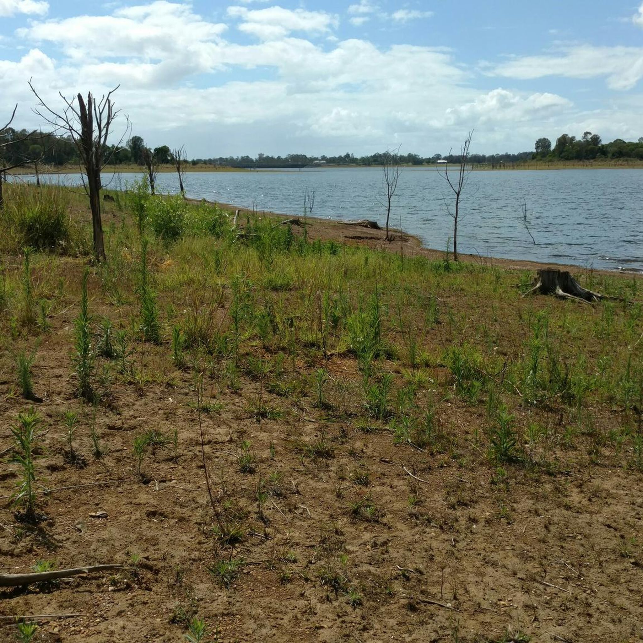
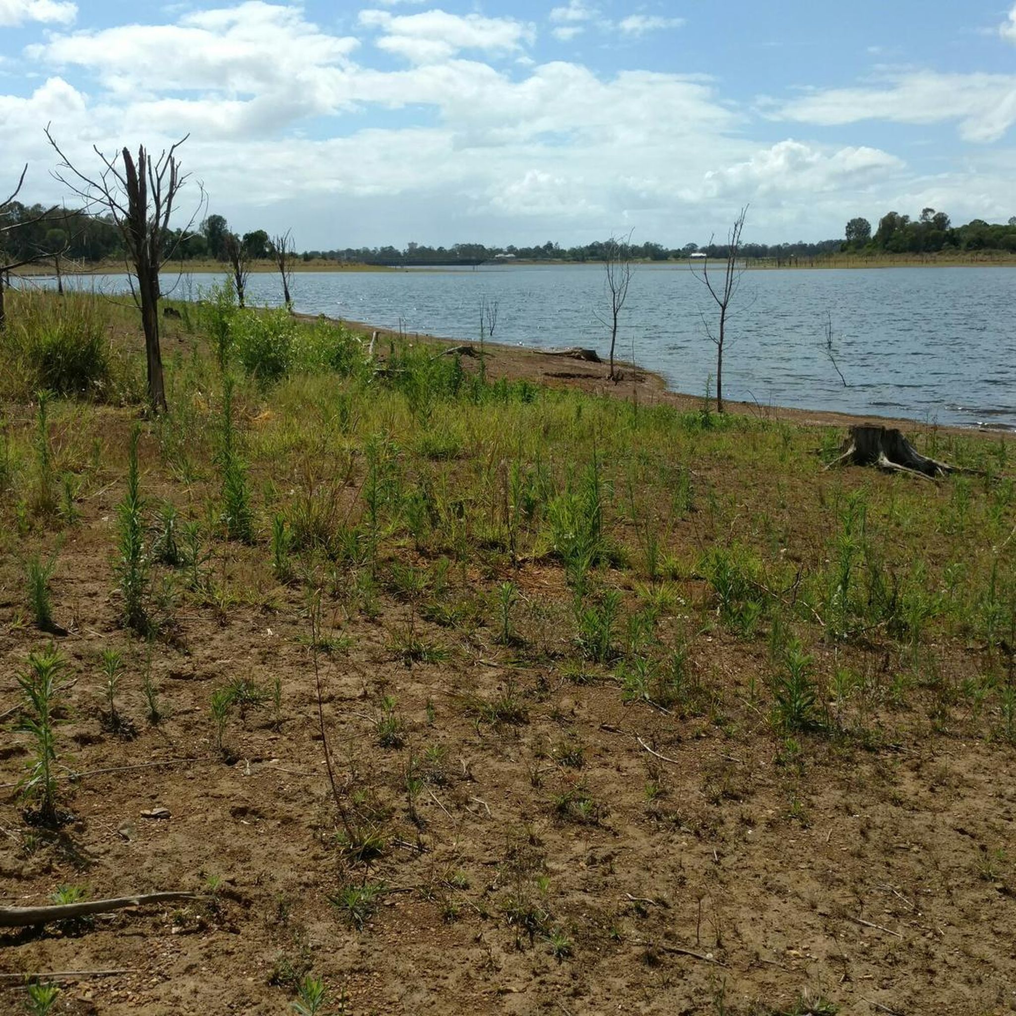
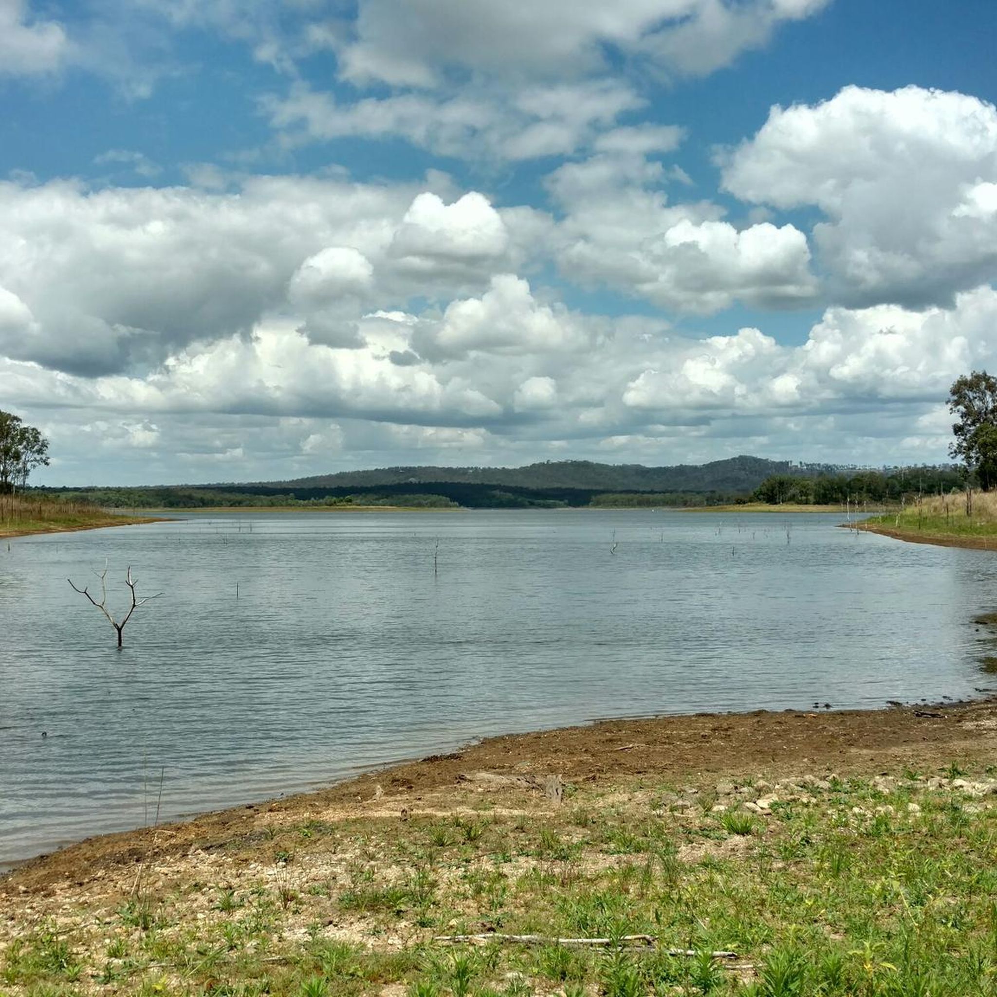
Cyclists can expect a mix of natural settings, including riverine paths, local nature reserves, and areas around the dam. The routes often follow waterways and connect green spaces, providing pleasant views of the local flora and fauna.
What do other touring cyclists enjoy most about cycling in North Pine Dam Nature Refuge?
The area is highly rated by the komoot community, with an average score of 4.4 stars from more than 20 reviews. Reviewers often praise the accessible river paths, the variety of local nature reserves, and the well-maintained loop routes that cater to different ability levels.
Is public transport available to access touring cycling routes in North Pine Dam Nature Refuge?
While specific public transport links directly to trailheads can vary, many routes start from towns like Petrie or Bray Park, which may have public transport connections. It's advisable to check local bus or train schedules for the most convenient access points to your chosen route.
Are there parking facilities near the touring cycling routes?
Yes, many routes originate from areas with designated parking. For example, the North Pine River – Mungarra Reserve loop from Bray Park typically has parking available in Bray Park, providing convenient access to the trail.
What is the best season for touring cycling in North Pine Dam Nature Refuge?
The region generally offers pleasant cycling conditions for much of the year. However, for optimal comfort, consider cycling during the cooler, drier months to avoid the peak heat and humidity, which typically occur in summer.
Can I expect to see wildlife while cycling in North Pine Dam Nature Refuge?
As a nature refuge, the area is home to various local wildlife. Cycling along the riverine paths and through nature reserves increases your chances of spotting birds, small mammals, and other native species in their natural habitat.
Are there any longer touring cycling routes for experienced cyclists?
For those looking for a longer ride, the Sweet Creek Ride – Brighton Waterfront Pathway loop from Strathpine is a moderate route spanning over 40 miles (65 km), offering a more extended touring experience.
What kind of terrain will I encounter on the touring cycling routes?
The terrain primarily consists of established pathways and riverine trails, generally featuring gentle gradients. While mostly flat, some routes may include minor undulations, especially those that venture further from the immediate dam area.
Most popular routes in North Pine Dam Nature Refuge

Get inspired with the komoot mobile app


Explore more
Browse the best Cycling routes in other regions.
