The best road cycling routes in Maroota Ridge State Conservation Area
5.0
(10)
200
riders
10
rides
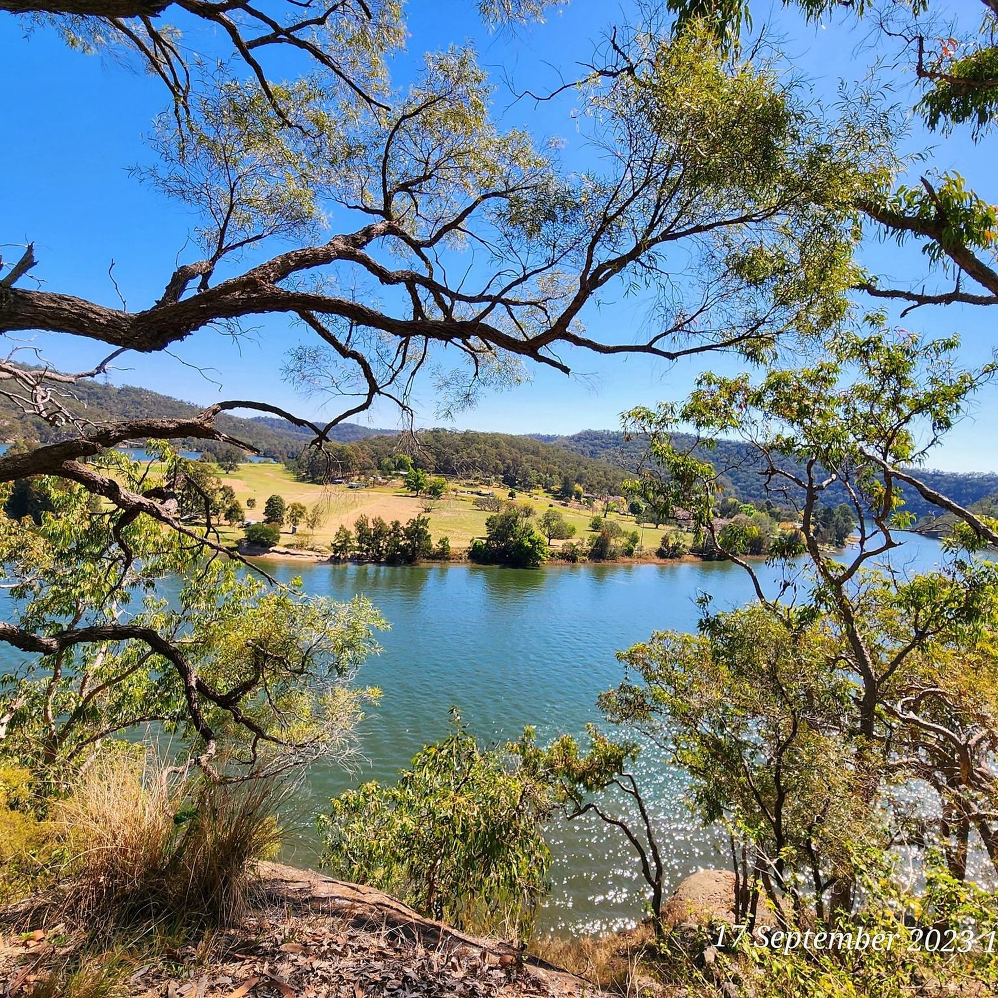
Road cycling in Maroota Ridge State Conservation Area offers diverse terrain across 642.2 acres, featuring moist sclerophyll forest habitats and undulating ridges and valleys. Cyclists can navigate ridge-top management trails, which include both paved and unpaved sections. The physical landscape presents opportunities for challenging cycling experiences with significant elevation gain. This varied topography caters to different ability levels, though many routes are considered difficult.
Best road cycling routes in Maroota Ridge State Conservation Area
- The most popular road cycling route…
Last updated: July 4, 2026
8
riders
Moderate road ride. Good fitness required. Some segments of this route may be unpaved and difficult to ride.
2
riders
56.4km
02:50
470m
470m
Moderate road ride. Good fitness required. Mostly well-paved surfaces and easy to ride.

Sign up for free
36
riders
110km
05:38
1,220m
1,220m
Hard road ride. Very good fitness required. Mostly well-paved surfaces and easy to ride.
7
riders
31.3km
01:47
320m
320m
Moderate road ride. Good fitness required. Mostly well-paved surfaces and easy to ride.
5.0
(2)
14
riders
87.3km
04:25
760m
760m
Moderate road ride. Good fitness required. Mostly well-paved surfaces and easy to ride.
Get access to more routes and recommendations from other explorers.
Sign up for free
Already have an account?
Our route recommendations are based on thousands of hikes, rides, and runs completed by other people on komoot.
Start today with a free account
Your next adventure awaits.
Login or Signup
Popular around Maroota Ridge State Conservation Area
Tips from the Community

Nice panoramic view west stretching from Bella Vista to Rouse Hill
0
0

Very flat quiet road, just need to watch out when they have the aprinklers running
0
0
A great way to get to the otherside of Windsor Road without being impacted by cars.
0
0

What a view up on the hill you can see a lot
1
0

Turkeys Nest Reserve was preserved from the original dairy land in the estate. It is the highest point in the district with distant views all the way from bella vista to the blue mountains. There is a duck pond on the top of the grassy hill, with a small playground and filtered water to refill your drink bottle.
1
0

A great Pit Stop after or before a ride Home to Fuel up
0
0
Frequently Asked Questions
What is the typical terrain like for road cycling in Maroota Ridge State Conservation Area?
The terrain in Maroota Ridge State Conservation Area is diverse, featuring moist sclerophyll forest habitats and undulating ridges and valleys. Cyclists can expect a mix of paved and unpaved sections, particularly on ridge-top management trails. This varied topography often includes significant elevation gains, making for challenging yet rewarding rides.
How many road cycling routes are available in Maroota Ridge State Conservation Area?
There are 10 road cycling routes available in Maroota Ridge State Conservation Area. These routes cater to different ability levels, with 7 routes rated as moderate and 3 as difficult.
Are there routes suitable for beginners or advanced cyclists?
While many routes in Maroota Ridge State Conservation Area are considered challenging, with 7 moderate and 3 difficult options, there are no routes specifically classified as easy. Cyclists should be prepared for varied terrain and significant elevation changes. For a moderate option, consider the Convict Road Kiosk – Laughtondale Gully Road loop from Maroota Ridge State Conservation Area, which covers 49.8 km.
What natural features or attractions can I see along the road cycling routes?
Maroota Ridge State Conservation Area is characterized by its moist sclerophyll forest habitats, offering lush landscapes and diverse wildlife. You can enjoy breathtaking views from undulating ridges and valleys. The area is a refuge for native flora and fauna, including several threatened species, making it excellent for birdwatching and wildlife photography. While there are no specific highlights listed in the guide data, the natural environment itself is the main attraction.
Is Maroota Ridge State Conservation Area suitable for family cycling?
Given the diverse terrain, including unpaved sections and significant elevation gains, Maroota Ridge State Conservation Area is generally better suited for touring cyclists or those with experience on varied surfaces rather than young families. There are no routes specifically designated as easy or family-friendly in the guide data.
Can I bring my dog on the cycling routes?
Regulations regarding dogs in State Conservation Areas can vary. It's best to check the official NSW National Parks and Wildlife Service guidelines for Maroota Ridge State Conservation Area before planning your visit with a dog. You can find more information on their website, such as this Statement of Management Intent.
What are the parking options for road cyclists?
While specific parking locations are not detailed in the route descriptions, routes often start from areas like Maroota Ridge State Conservation Area itself, Sackville, or Mulgrave, suggesting parking may be available in these vicinities. It is advisable to check the starting point of your chosen route for local parking information.
When is the best time of year to go road cycling in Maroota Ridge State Conservation Area?
The region's climate generally allows for cycling year-round, but spring and autumn often offer the most pleasant temperatures for tackling the undulating terrain. Summers can be hot, and some unpaved sections might become muddy after heavy rain, so checking weather conditions before your ride is recommended.
Are there circular road cycling routes available?
Yes, many of the routes in Maroota Ridge State Conservation Area are designed as loops. For example, the Convict Road Kiosk – Laughtondale Gully Road loop from Maroota Ridge State Conservation Area and the Windsor Turf Farms loop from Mulgrave are popular circular options.
What do other road cyclists enjoy most about cycling in Maroota Ridge State Conservation Area?
The routes in Maroota Ridge State Conservation Area are highly rated by the komoot community, with an average score of 5.0 stars from over 10 reviews. Cyclists often praise the immersive experience in the natural surroundings, the diverse forest and rural settings, and the challenge provided by the significant elevation gains and varied terrain.
Are there any cafes or amenities near the cycling routes?
While the conservation area itself is primarily natural, some routes start or pass through nearby towns or areas like Sackville, Mulgrave, or Maroota, where you might find local cafes or basic amenities. For example, the Hawkins Lookout – Glenorie Bakery loop from Sackville suggests proximity to such facilities.
Most popular routes in Maroota Ridge State Conservation Area

Get inspired with the komoot mobile app


Explore more
Browse the best Road cycling routes in other regions.
