The best walks and hikes in Towra Point Aquatic Reserve (Sanctuary)
4.5
(85)
2,053
hikers
52
hikes
Hiking in Towra Point Aquatic Reserve (Sanctuary) offers diverse landscapes, characterized by extensive saltmarshes, mangrove forests, and seagrass beds. The region features an elevated causeway providing unique views over wetland communities, transitioning into terrestrial forests of swamp oak and mahogany. Freshwater ponds and coastal paths along Botany Bay further contribute to the varied terrain, making it a significant natural area for exploration.
Best hiking trails in Towra Point Aquatic Reserve (Sanctuary)
- The most popular hiking route is Cape Solander –…
Last updated: July 4, 2026
5.0
(1)
11
hikers
Moderate hike. Good fitness required. Easily-accessible paths. Suitable for all skill levels.
6
hikers
6.67km
01:45
60m
60m
Easy hike. Great for any fitness level. Easily-accessible paths. Suitable for all skill levels.

Sign up for free
4.5
(2)
85
hikers
10.6km
02:44
60m
60m
Moderate hike. Good fitness required. Easily-accessible paths. Suitable for all skill levels.
5.0
(1)
86
hikers
6.68km
01:45
50m
50m
Easy hike. Great for any fitness level. Easily-accessible paths. Suitable for all skill levels.
68
hikers
5.99km
01:34
50m
50m
Easy hike. Great for any fitness level. Easily-accessible paths. Suitable for all skill levels.
Get access to more routes and recommendations from other explorers.
Sign up for free
Already have an account?
Our route recommendations are based on thousands of hikes, rides, and runs completed by other people on komoot.
Start today with a free account
Your next adventure awaits.
Login or Signup
Tips from the Community

This is one of the best land-based whale watching lookouts in all of Australia. Humpback whales can be seen swimming by from May to October, but June and July are when you'll have the best chance to spot them. Due to the nature of the waters here the whales are sometimes only 200 metres offshore, which is why this is such a great whale watching viewpoint.
0
0
The Cape Baily Lighthouse is built on a hill near the south end of the cape. This location was chosen to help northbound ships sail closer to shore in order to avoid strong currents further out.
0
0
Long Nose Point sits on top of the dramatic headlands of Cape Baily. You'll have great views of the cliffs, water, and the lighthouse in the distance. The area around the point is very exposed to wind and sun, so wearing the appropriate outerwear is essential.
0
0

Darook Park sits along the calm waters of Gunnamatta Bay, with open grassed areas, picnic tables, barbecues, benches and public toilets, with large trees providing shade throughout the reserve. The trees open to a small sandy beach, and the bay's sheltered waters create calm conditions, making it popular for swimming, paddling, and launching small watercraft. The quiet park setting is a great place to relax while looking out across Port Hacking and the surrounding shoreline.
0
0
This point is named after the explorers George Bass and Matthew Flinders, who explored the area in 1796. There is a lookout area with seating, and from this vantage point, the view opens up across the expansive waters of Port Hacking. Looking across the inlet, you can see the small coastal village of Bundeena on the opposite shoreline, backed by the bushland of Royal National Park. The wide waterway and forested hills are beautiful, and a nice contrast to the open ocean views on the eastern side of the walk.
0
0
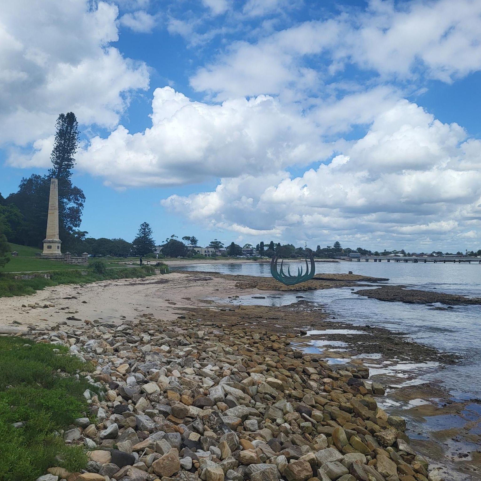
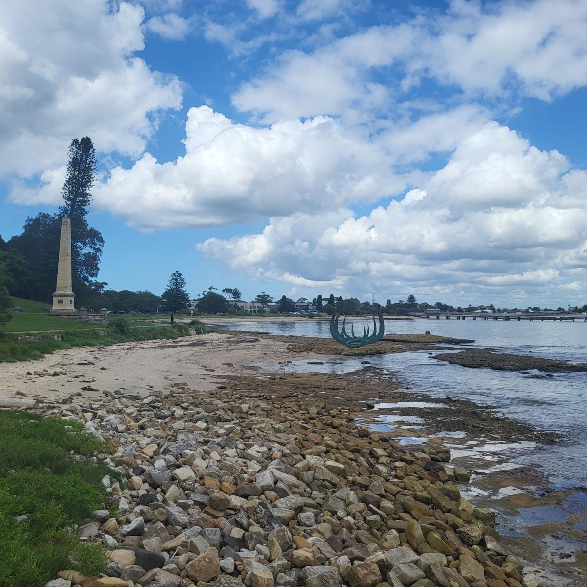
Cronulla Point is a rocky headland at the southern end of Cronulla Beach, where the coastline turns toward Shelly Beach and Port Hacking. This point is known for its ocean views and exposed rock platforms, which sit high above the surrounding surf breaks. There is a nice bench here with fantastic views along the Cronulla coastline and across the water toward the Kurnell Peninsula, making it the perfect spot for a scenic break.
0
0
This is a lovely small coastal park that overlooks Shelly Beach with open grassy areas, picnic tables, public toilets, and paths connecting to the surrounding esplanade and coastline. There are plenty of benches scattered throughout, and the elevated position is a fantastic spot to enjoy the views over the ocean and nearby rock platforms.
0
0
North Cronulla Beach marks the northern end of Cronulla’s long ocean beach and is a popular spot for swimming, surfing and coastal walks. As you follow the esplanade along the sand, you can look out across the open Pacific Ocean, with its waves rolling onto the expansive beach below. The grassy foreshore and surrounding cafés give the area a relaxed coastal atmosphere, making it a lively section of the walk.
0
0
Frequently Asked Questions
How many hiking trails are available in Towra Point Aquatic Reserve (Sanctuary)?
Towra Point Aquatic Reserve (Sanctuary) offers over 60 hiking trails. These routes cater to various skill levels, with 38 easy, 21 moderate, and 2 difficult options available for exploration.
What kind of terrain can I expect when hiking in Towra Point Aquatic Reserve (Sanctuary)?
Hikers can experience a diverse range of terrain, including extensive saltmarshes, dense mangrove forests, and seagrass beds. There's also an elevated causeway offering unique views, terrestrial forests with swamp oak and mahogany, and coastal paths along Botany Bay. Some areas, particularly saltmarshes and mangrove sections, may be wet depending on tides and rainfall.
Are there easy hiking options for beginners or families in Towra Point Aquatic Reserve (Sanctuary)?
Yes, the reserve has 38 easy hiking trails, making it suitable for beginners and families. An example of an easy route is the Cape Solander loop from Kamay Botany Bay National Park, which is about 4.1 miles (6.7 km) long.
Can I see any unique natural features or landmarks while hiking in the reserve?
Absolutely. You can walk along a historical elevated causeway that traverses above saltmarsh communities, offering distinct perspectives. Explore the immersive mangrove "Barrier Swamp" where hundreds of upright mangrove roots are visible. Other notable features include freshwater wetlands like Weedy Pond and Towra Lagoon, and the Quibray Bay viewing platform which provides stunning vistas across Botany Bay.
Is Towra Point Aquatic Reserve (Sanctuary) a good place for birdwatching?
Yes, Towra Point Aquatic Reserve (Sanctuary) is an exceptional location for birdwatching. It's a critical habitat for approximately 200 bird species, including 34 listed under international migratory bird conservation agreements. The Quibray Bay viewing platform is particularly recommended for this activity, especially during migratory seasons.
Are there any coastal walks or viewpoints in the reserve?
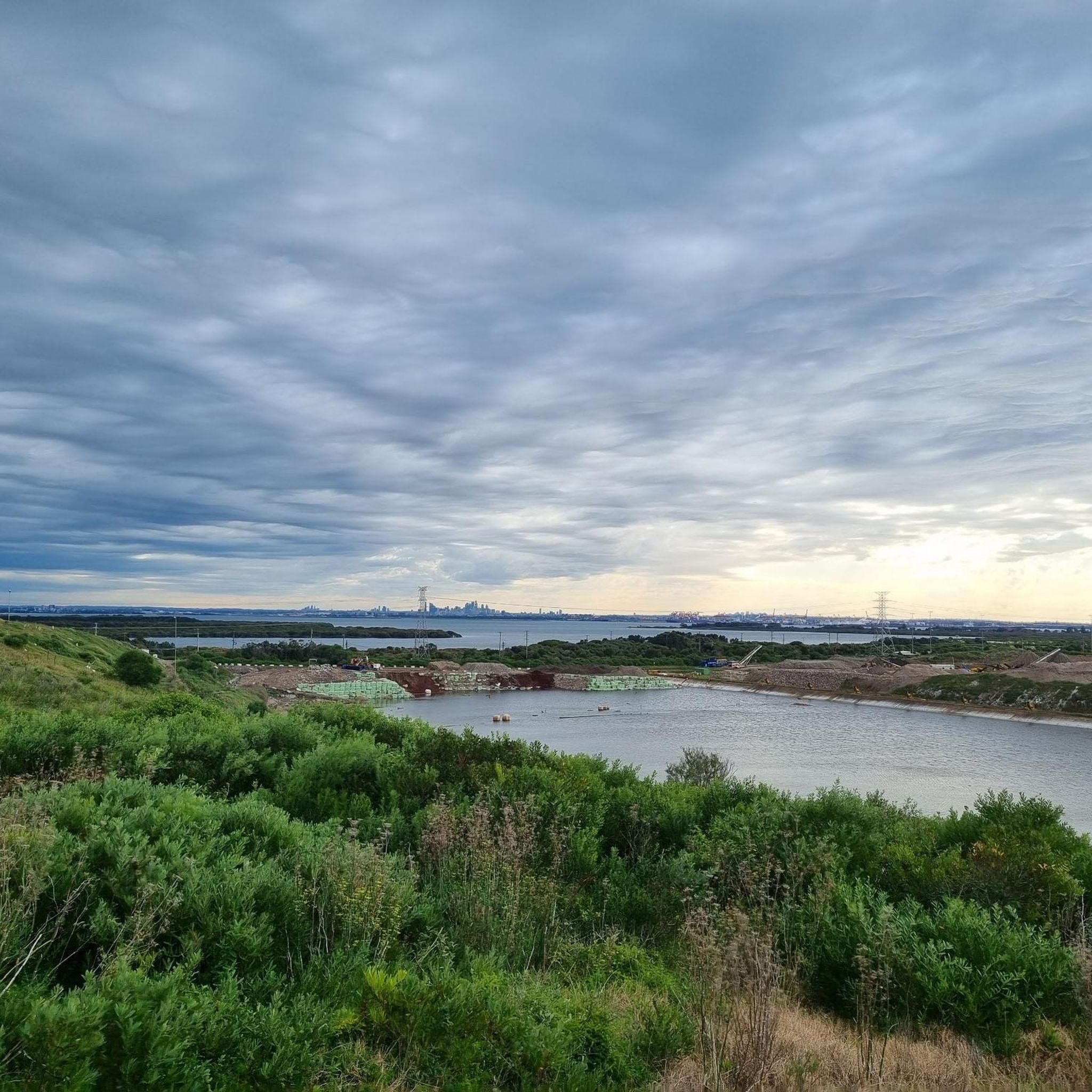
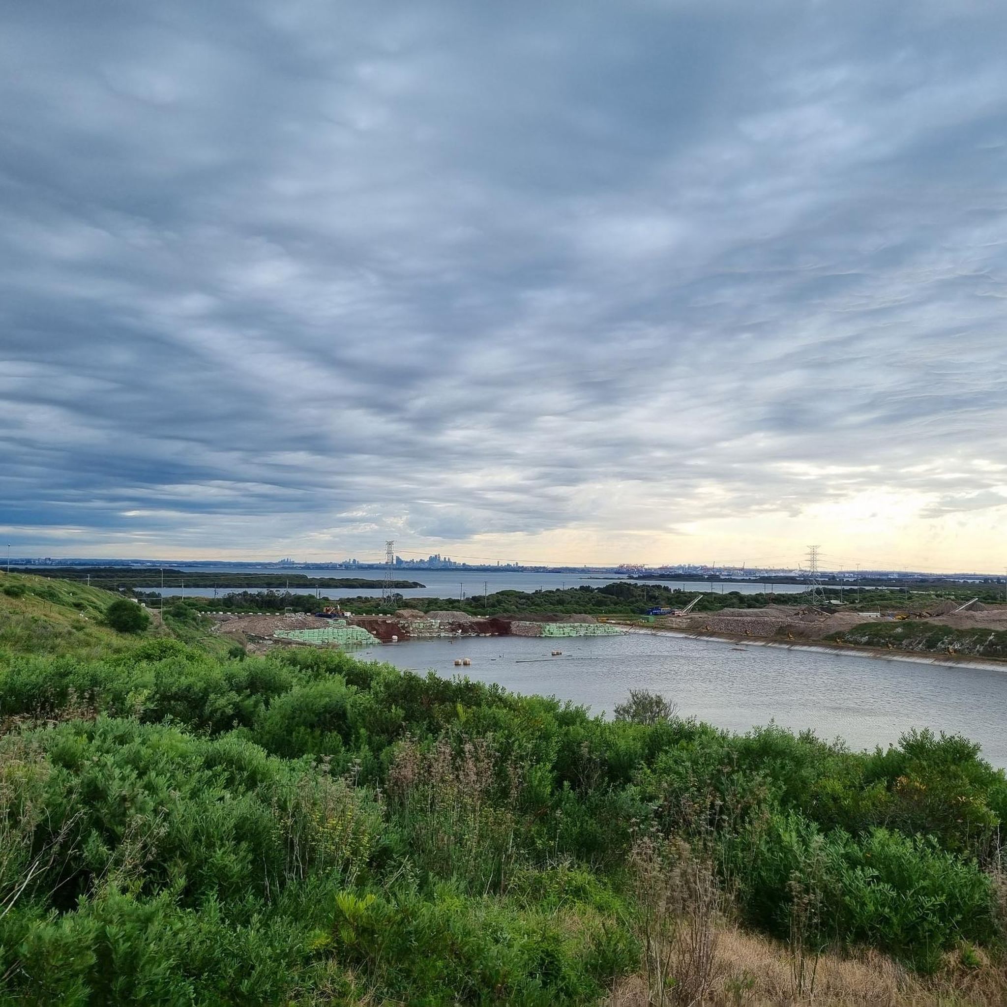
The reserve offers coastal experiences, including paths leading to Towra Beach along the southern shore of Botany Bay. The Quibray Bay viewing platform provides stunning vistas across the bay, and at low tide, you can venture onto sandy mangrove flats for closer observation, sometimes even catching glimpses of the distant Sydney cityscape.
What do other hikers enjoy the most about hiking in Towra Point Aquatic Reserve (Sanctuary)?
The area is highly rated by the komoot community, with an average score of 4.6 stars from over 100 reviews. Hikers often praise the diverse wetland ecosystems, the unique experience of walking through mangrove forests, and the tranquil escape it offers despite its proximity to a major city.
Are there any circular hiking routes in Towra Point Aquatic Reserve (Sanctuary)?
Yes, there are several circular routes available. A popular moderate option is the Cape Solander – Long Nose Point loop from Kamay Botany Bay National Park, which covers about 6.0 miles (9.6 km).
What is the best time of year to visit Towra Point Aquatic Reserve (Sanctuary) for hiking?
The reserve can be enjoyed year-round, but spring and autumn generally offer the most pleasant hiking conditions with milder temperatures. These seasons are also excellent for birdwatching, especially during the migratory periods for shorebirds. Be mindful that some areas, particularly saltmarshes, can be wet after rainfall or during high tides.
Is Towra Point Aquatic Reserve (Sanctuary) accessible by public transport?
While the core of Towra Point Nature Reserve may have restricted access, areas like Kamay Botany Bay National Park, which offers routes like the The Leap Lookout – Cape Solander Coastal View loop, can be accessed via public transport to nearby suburbs, followed by a walk or short taxi ride. It's advisable to check local transport schedules and access points before planning your trip.
Are dogs allowed on the hiking trails in Towra Point Aquatic Reserve (Sanctuary)?
As a protected aquatic reserve and Ramsar site, Towra Point has strict regulations to protect its sensitive ecosystems and wildlife. Generally, dogs are not permitted in the Towra Point Nature Reserve or Aquatic Reserve areas to prevent disturbance to native animals and habitats. Always check official signage and regulations before bringing pets.
Are there any permits or special access requirements for hiking in the reserve?
Access to the core of Towra Point Nature Reserve can be restricted and may require guided entry or special permits. However, available walking routes and viewing platforms, particularly those accessible from adjacent areas like Kamay Botany Bay National Park, offer considerable opportunities to explore without specific permits. For detailed information on access and any required permits, it is best to consult the official NSW National Parks and Wildlife Service website: nsw.gov.au.
Most popular routes in Towra Point Aquatic Reserve (Sanctuary)

Get inspired with the komoot mobile app


Explore more
Browse the best Hikes in other regions.
