The 17 Most Amazing Peaks around Seibersbach
Best mountain peaks around Seibersbach are found within the diverse landscape of the Hunsrück region, encompassing the Soonwald and Bingen Forest. This area features several elevated points that offer scenic views and opportunities for outdoor activities. The terrain includes forested summits and viewpoints, providing a range of experiences for hikers. Seibersbach serves as a base for exploring these natural features and their surrounding trails.
Best mountain peaks around Seibersbach
- The most popular mountain peaks is Hochsteinchen lookout tower, a…
Last updated: October 10, 2026
Ellerspring
Highlight • Summit
Translated by Google •
Tip by

Salzkopf Tower
Highlight • Viewpoint
Translated by Google •
Tip by

Sign up now to discover places like this
Get recommendations on the best single tracks, peaks, & plenty of other exciting outdoor places.
View of the Rhine and Bingen from the Prinzenkopf
Highlight • Viewpoint
Translated by Google •
Tip by

Franzosenkopf
Highlight • Summit
Translated by Google •
Tip by

Simmerkopf — Highest Point in the Rhein-Hunsrück District
Highlight • Summit
Translated by Google •
Tip by

Sign up for free to discover even more peaks around Seibersbach.
Already have an account?
Start today with a free account
Your next adventure awaits.
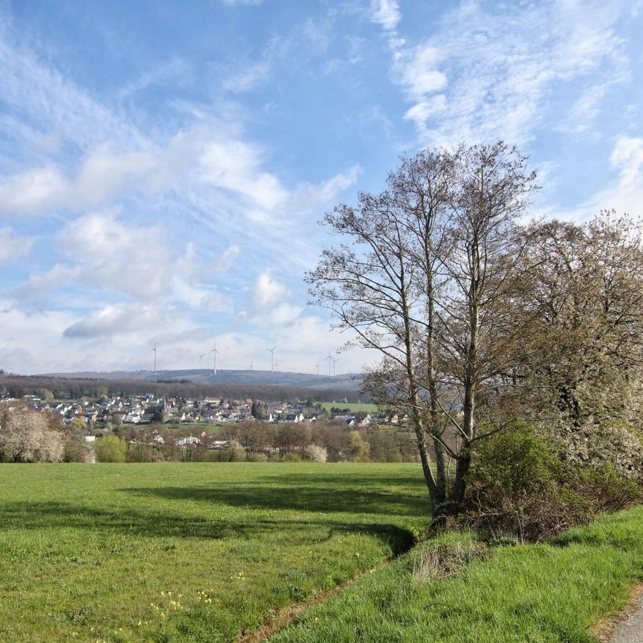
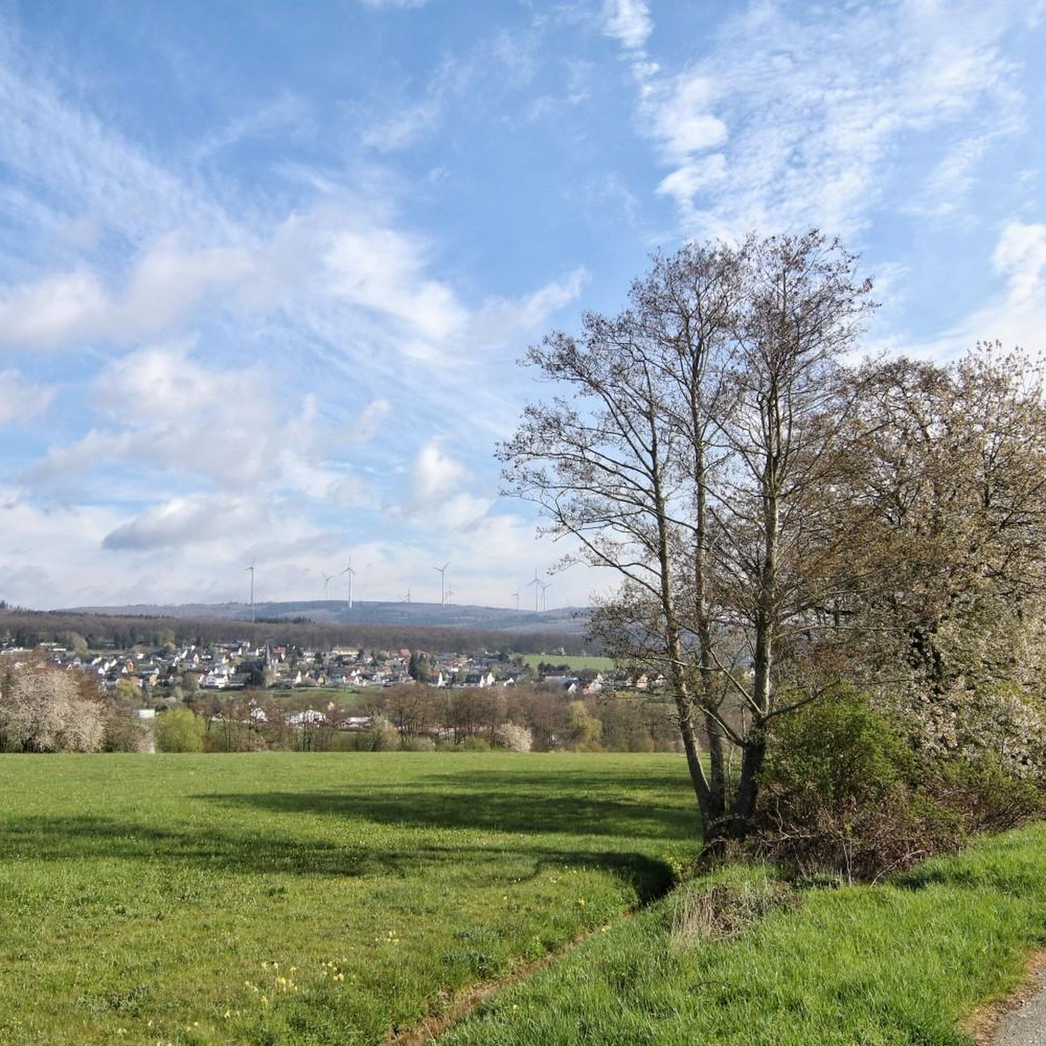
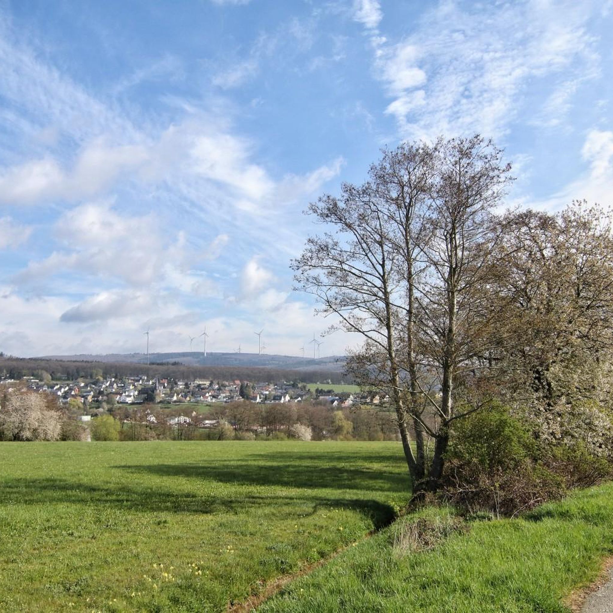
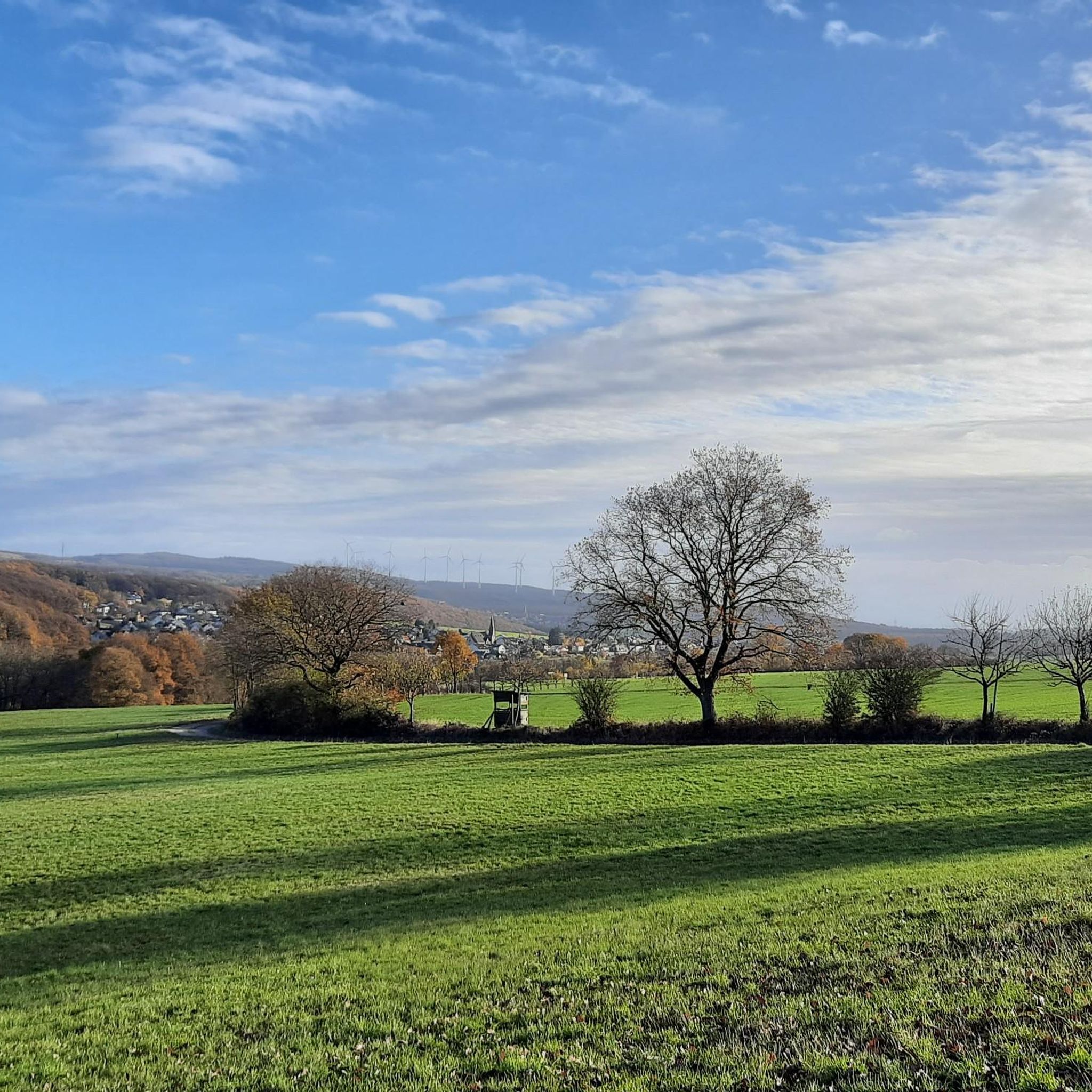
Tips from the Community

Right next to the cross there is a table with a bench, a great place for a rest.
1
0

As the name suggests, it was the westernmost location of the Franconians in the past. But riding up it on a mountain bike is an experience. 550 meters of elevation gain in one go from Niederheimbach. It's also ideal for runners for a good workout. And also for hikers for the unique views of and across the Rhine.
0
0

beautiful vantage point for a winter hike in the snow
0
0


This impressive tower can be seen from far away
1
0

Great forest lots of opportunities for biking
1
0

An imposing tower and especially with snow and sun - it is fenced in but you can walk around the fence
0
1

Northeast of the Ellerspring summit is the 107 m high Ellerspring radio tower, which was built as a type tower FMT 11 in reinforced concrete. It is owned by Deutsche Telekom AG. TV and radio stations used to be fed into the cable from there. The tower supplied the districts of Bad Kreuznach, Birkenfeld, Mainz-Bingen and Alzey-Worms as well as the Rhein-Hunsrück district and Donnersberg district. Today it only serves as a reserve for TV and radio, but forwards the signal for cable TV via radio relay to the Bad Kreuznach radio tower for supplying Bad Kreuznach. Source: http://wikimapia.org/29299283/de/Funkmeldeturm-Ellerspring
3
0
Frequently Asked Questions
What are the most prominent mountain peaks and elevated points near Seibersbach?
The region around Seibersbach, nestled in the Hunsrück, offers several notable elevated points. These include Ellerspring, the highest point of the Soonwald; Simmerkopf, the highest elevation in the Rhein-Hunsrück district; Hochsteinchen, known for its observation tower; and Kandrich, the highest mountain in the Bingen Forest. Other significant spots are the Salzkopf Tower and Franzosenkopf.
Which mountain peaks offer the best panoramic views near Seibersbach?
For expansive panoramic views, the Hochsteinchen lookout tower is highly recommended. From its 18-meter-high steel observation tower, you can see across the Hunsrück, the Middle Rhine Valley, and even to the distant Taunus mountains. The Salzkopf Tower also offers great views of the Hunsrück, Taunus, and Middle Rhine Valley, though it has been closed for extensive renovation.
Are there any trekking camps or overnight stay options near the mountain peaks?
Yes, the Ellerspring, the highest point of the Soonwald, features a trekking camp for overnight stays. This offers a deep connection with nature away from urban life. Booking in advance is required, and the exact GPS coordinates are provided upon reservation. More information can be found on the Soonwaldsteig website.
What kind of natural features can I expect to see on the mountain peaks around Seibersbach?
The mountain peaks around Seibersbach are predominantly characterized by dense forests, particularly spruce monocultures, as seen on the Simmerkopf. You'll find extensive networks of trails, natural monuments, and elevated plateaus. Some areas, like parts of the Franzosenkopf, also feature deforested parcels that provide glimpses of the Middle Rhine Valley.
What outdoor activities can I do near these mountain peaks?
The region offers diverse outdoor activities, primarily hiking and cycling. You can explore numerous trails, including sections of the renowned Soonwaldsteig. For cycling enthusiasts, there are routes like the 'View of Gemündener Castle – Brühlbach Near Layenkaul loop' for touring bicycles, and gravel biking options such as the 'Gemünden Castle – View of Gemündener Castle loop'. Running trails are also available, including an 'Aussichtsturm Hochsteinchen loop'. You can find more details on these activities in the Cycling around Seibersbach, Running Trails around Seibersbach, and Gravel biking around Seibersbach guides.
Are there any historical landmarks on or near the mountain peaks?
Yes, the Hochsteinchen lookout tower, originally built in 1893/94, is a notable historical landmark. The Salzkopf Tower also has a long history. Additionally, the Kandrich historically hosted a radar station, and the Franzosenkopf is marked by a stone stele (trigonometry point).
What is the best time of year to visit the mountain peaks around Seibersbach?
The region is appealing for outdoor enthusiasts throughout much of the year. Spring and autumn offer pleasant temperatures for hiking through the dense forests and enjoying the changing foliage. While specific winter conditions are not detailed, the area provides a mix of challenging treks and more leisurely walks, suggesting that different seasons offer unique experiences.
Are there family-friendly hiking options among the mountain peaks?
The region offers a variety of trails, including more leisurely walks through dense forests, which can be suitable for families. While specific 'family-friendly' categories are not explicitly listed for all peaks, the diverse network of trails means you can find routes of varying difficulty. For example, the 'Running loop from Seibersbach' is an easy option that might be suitable for families.
What makes the Simmerkopf a notable peak?
The Simmerkopf is significant as the highest elevation in the Rhein-Hunsrück district. While its summit is characterized by a spruce monoculture, it features a cross and a resting bench, providing a quiet spot for hikers to pause and reflect in the middle of the forest.
Can I access the mountain peaks using public transport?
While specific public transport connections directly to trailheads are not detailed, Seibersbach serves as a base for exploring these natural features. It's advisable to check local public transport schedules and routes to determine the best way to reach the starting points of the trails leading to the peaks.
What do visitors enjoy most about the mountain peaks around Seibersbach?
Visitors appreciate the immersive natural setting, especially within the Soonwald-Nahe Nature Park. The extensive network of trails, including sections of the Soonwaldsteig, is highly valued for long-distance hiking. The panoramic views from points like the Hochsteinchen lookout tower are also a major draw, as are the opportunities for quiet reflection at spots like the Simmerkopf.
Are there any specific regulations or permits needed for hiking in the area?
General hiking in the Hunsrück region typically does not require special permits. However, if you plan to use the trekking camp at Ellerspring, you must book in advance. Always respect local signage, stay on marked trails, and follow Leave No Trace principles to preserve the natural environment.
Most popular routes around Seibersbach
Most popular attractions around Seibersbach

Get inspired with the komoot mobile app


Explore more
See even more amazing summits around Seibersbach with these guides:
