The best MTB trails in San Antonio
4.4
(34)
121
riders
9
rides
Mountain biking in San Antonio offers diverse terrain, from rolling hills and limestone canyons to extensive greenway systems. The region features dynamic environments with varied elevation and technical sections, particularly in the Texas Hill Country. San Antonio's comprehensive network of greenways, such as the Salado Creek and Leon Creek Greenways, provides miles of both paved and unpaved routes through natural settings. Protected natural areas like Government Canyon State Natural Area further contribute to the variety of mountain biking experiences available.
…Last updated: July 11, 2026
5.0
(4)
30
riders
63.2km
05:40
1,820m
1,820m
Hard mountain bike ride. Very good fitness required. Suitable for all skill levels.
5.0
(2)
23
riders
36.8km
03:37
1,240m
1,240m
Hard mountain bike ride. Very good fitness required. Suitable for all skill levels.

Sign up for free
3.0
(2)
19
riders
50.0km
03:37
1,000m
1,000m
Hard mountain bike ride. Very good fitness required. Suitable for all skill levels.
4.3
(3)
8
riders
14.5km
01:39
740m
730m
Moderate mountain bike ride. Good fitness required. Suitable for all skill levels.
5.0
(1)
9
riders
79.3km
06:06
1,570m
1,570m
Hard mountain bike ride. Very good fitness required. Suitable for all skill levels.
Get access to more routes and recommendations from other explorers.
Sign up for free
Already have an account?
Our route recommendations are based on thousands of hikes, rides, and runs completed by other people on komoot.
Start today with a free account
Your next adventure awaits.
Login or Signup
Popular around San Antonio
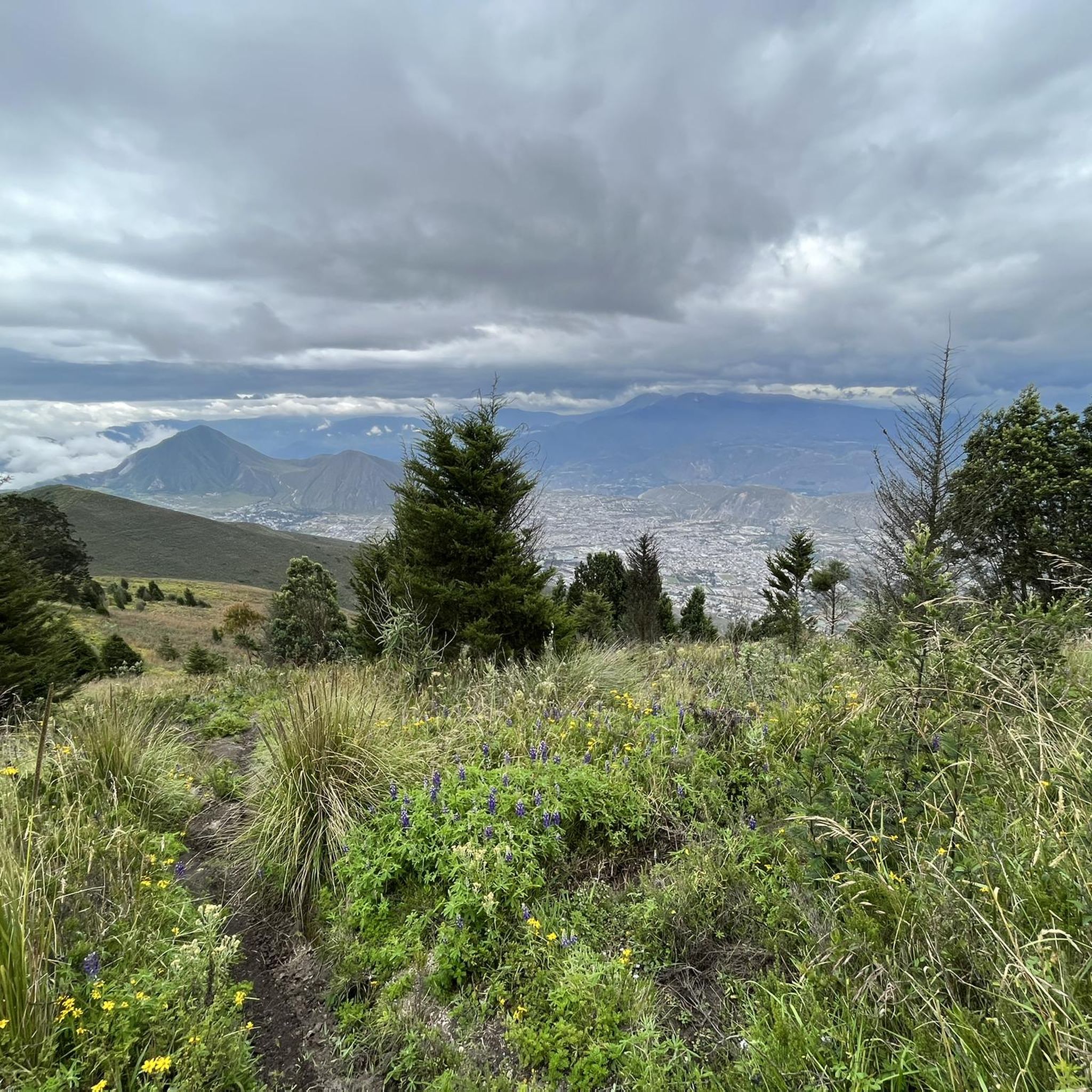
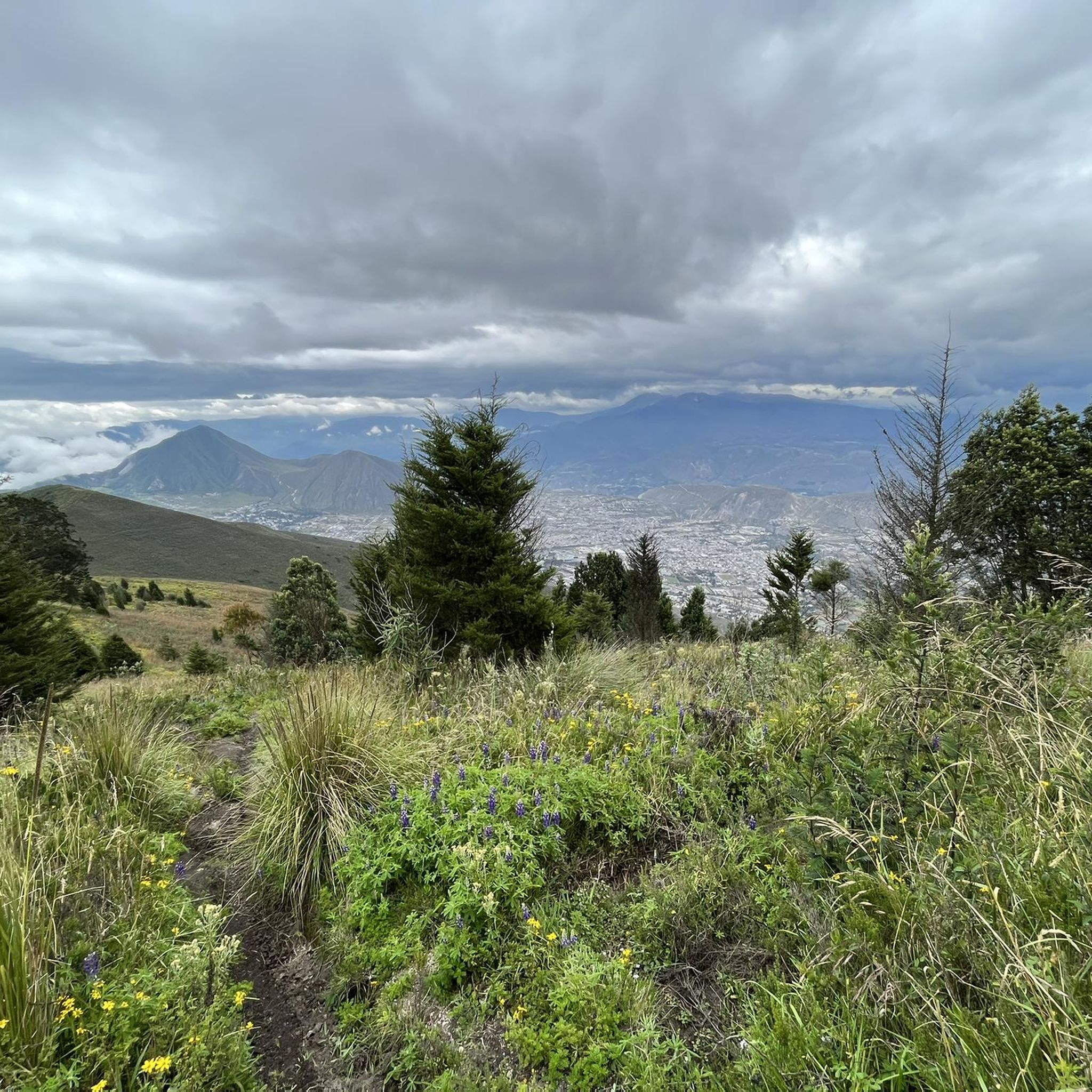
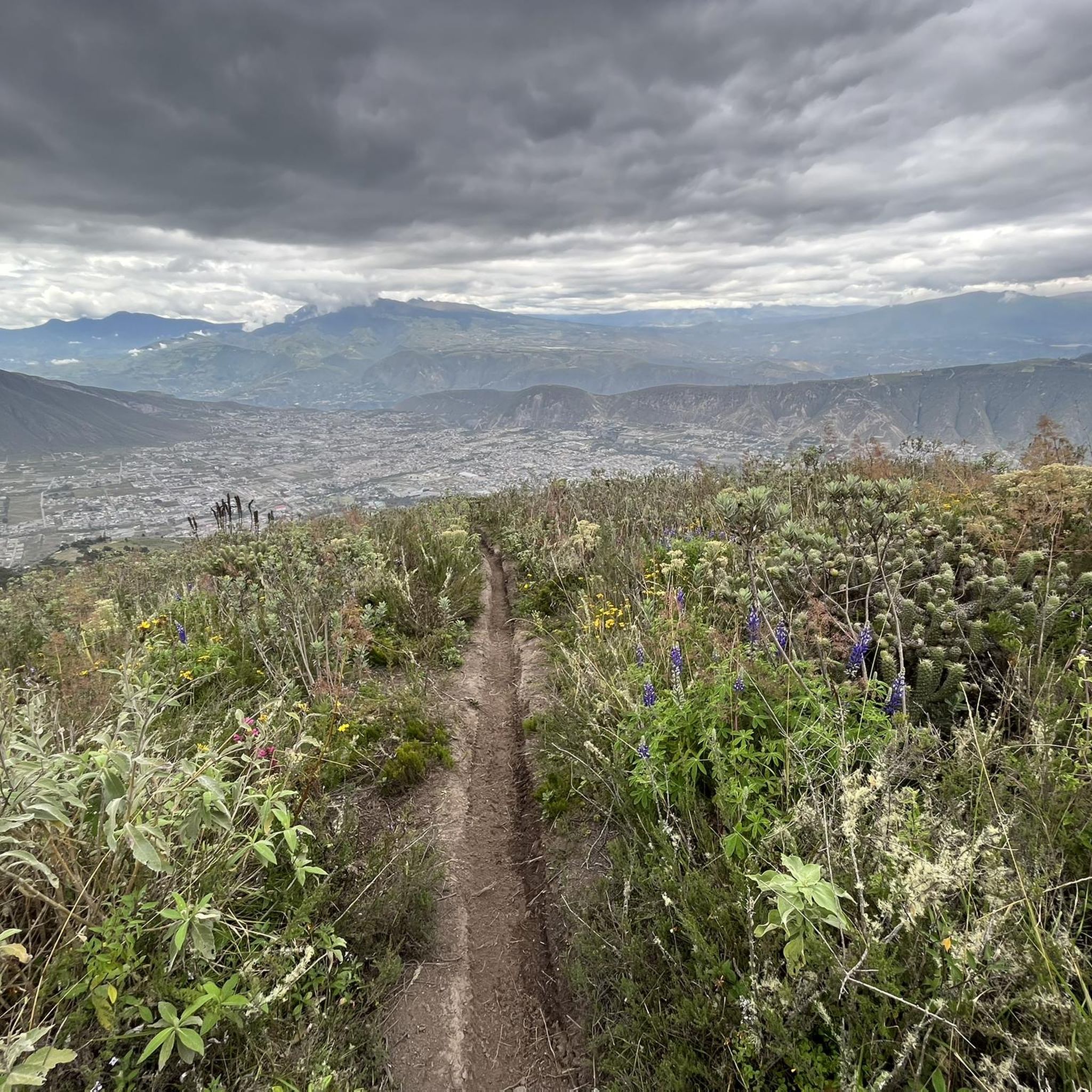
Tips from the Community

rideable without lights, but you have to trust no one laid out a log in the way!
0
0
Wonderful ride. Quite steep and curvy, be careful of oncoming traffic. There isn't much but it can surprise you.
0
0
Good place to park is on the town square, in front of the police station. There is a public bathroom next to it
0
0
Excellent cevichocho and ice creams
0
0
Frequently Asked Questions
How many mountain bike trails are available in San Antonio?
San Antonio offers a wide variety of mountain biking experiences, with over 10 routes documented on komoot. These range from moderate to difficult, catering to different skill levels.
Are there easy mountain bike trails for beginners in San Antonio?
While komoot's current selection focuses on moderate to difficult routes, San Antonio's extensive greenway systems, such as the Leon Creek Greenway and Salado Creek Greenway, offer many miles of less technical, unpaved trails suitable for beginners. McAllister Park also provides easier green and blue options.
Where can I find challenging mountain bike trails in San Antonio?
For experienced riders seeking a challenge, Government Canyon State Natural Area is a prime destination, known for its advanced difficulty trails, rock gardens, and technical climbs. Komoot also features several difficult routes, including Birds' Bridge – Calacalí–Pululahua Dirt Road loop from Pomasqui, which features significant elevation gain over 39.8 miles (64 km).
Are there any family-friendly mountain bike trails in San Antonio?
Yes, many sections of San Antonio's greenway systems, like the Leon Creek Greenway and Salado Creek Greenway, are suitable for families. These trails often have smoother surfaces and less challenging terrain, making them enjoyable for riders of all ages. Phil Hardberger Park also offers well-maintained trails that are great for family outings.
What kind of terrain and elevation can I expect on San Antonio mountain bike trails?
San Antonio's mountain bike trails offer diverse terrain, from the rolling hills and limestone canyons of the Texas Hill Country to the extensive greenway systems. You'll encounter varied elevation changes, with some routes featuring substantial climbs and descents. For example, the Calacalí Monument – Descent to the Volcano Floor loop from Calacali includes over 1200 meters of elevation gain and descent.
Are there loop mountain bike trails in San Antonio?
Yes, many mountain bike trails in San Antonio are designed as loops, offering a convenient way to start and end your ride at the same point. An example is the Birds' Bridge loop from Carapungo, a 24.3-mile (39 km) route through varied terrain.
What do other mountain bikers enjoy most about mountain biking in San Antonio?
The mountain biking routes in San Antonio are highly rated by the komoot community, with an average score of 4.6 stars from over 40 reviews. Riders often praise the diverse terrain, from challenging climbs to scenic greenway paths, and the opportunity to explore the region's natural beauty.
What are some scenic viewpoints or landmarks along San Antonio mountain bike trails?
While specific viewpoints vary by trail, the region's natural features like limestone canyons and rolling hills provide scenic backdrops. Parks like Friedrich Wilderness Park offer rugged terrain and good vantage points. Additionally, the San Antonio River Walk's Mission Reach Trail offers picturesque views of the river and historic missions, though it's generally a multi-use path rather than a technical mountain bike trail.
Are there mountain bike trails in San Antonio with parking available?
Most major parks and greenway access points in San Antonio offer dedicated parking facilities for trail users. Popular spots like McAllister Park, Government Canyon State Natural Area, and Phil Hardberger Park have ample parking to accommodate mountain bikers.
What is the best time of year for mountain biking in San Antonio?
The cooler months, typically fall through spring (October to April), are generally considered the best time for mountain biking in San Antonio. Temperatures are more moderate, making for more comfortable rides. Summers can be very hot, so early morning or late evening rides are recommended if biking during this season.
Can I bring my dog on mountain bike trails in San Antonio?
Many of San Antonio's greenway trails and city parks are dog-friendly, requiring dogs to be on a leash. However, policies can vary by specific park or natural area. It's always best to check the regulations for the particular trail you plan to ride, especially for state natural areas like Government Canyon, which may have specific rules regarding pets on trails.
Are there any cafes or pubs near mountain bike trails in San Antonio?
Given San Antonio's extensive urban greenway system, many trails are accessible from or pass through areas with nearby amenities. While specific cafes or pubs directly adjacent to remote trailheads might be limited, you'll often find options within a short ride or drive from popular parks like McAllister Park or sections of the Leon Creek and Salado Creek Greenways.
Most popular routes in San Antonio
Most popular attractions in San Antonio

Get inspired with the komoot mobile app


Explore more
Browse the best MTB trails in other regions.
