The best running trails in Gonzalez Suarez
5.0
(2)
120
runners
5
runs
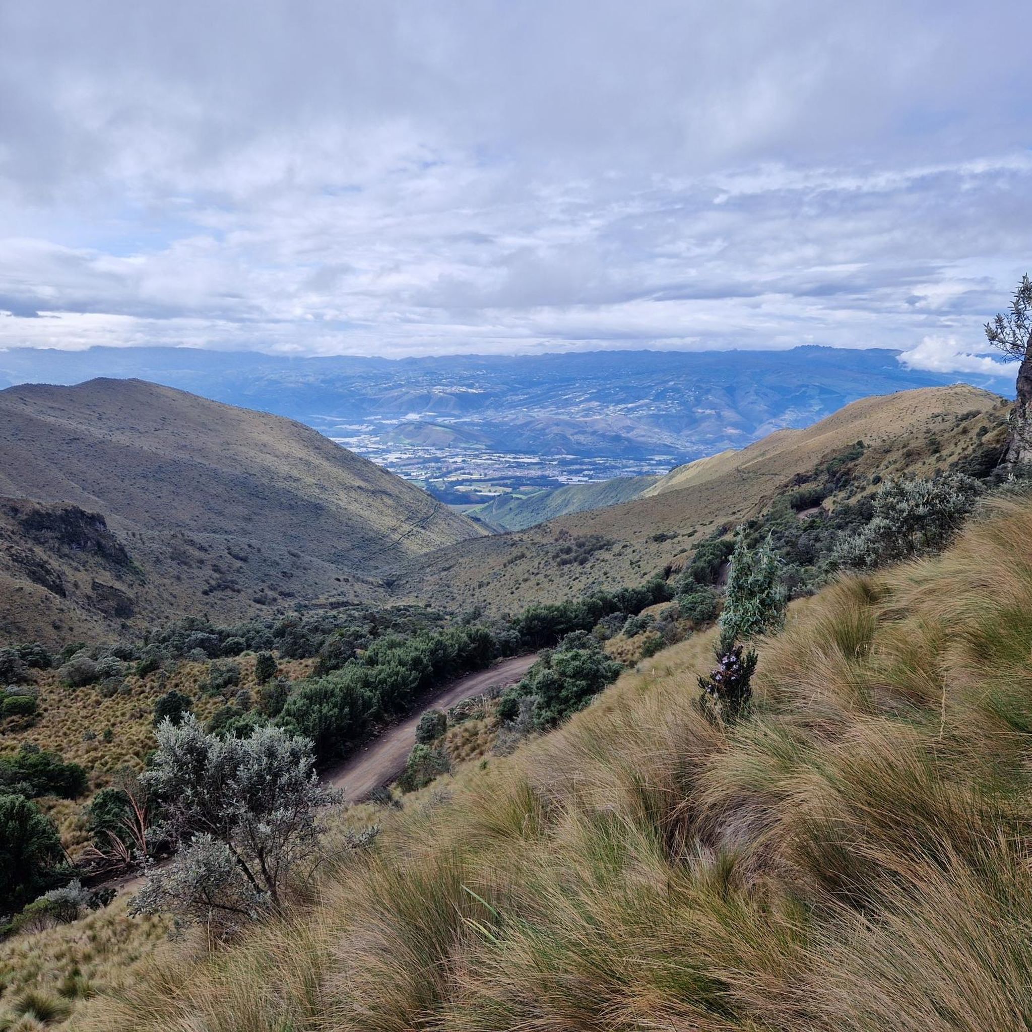
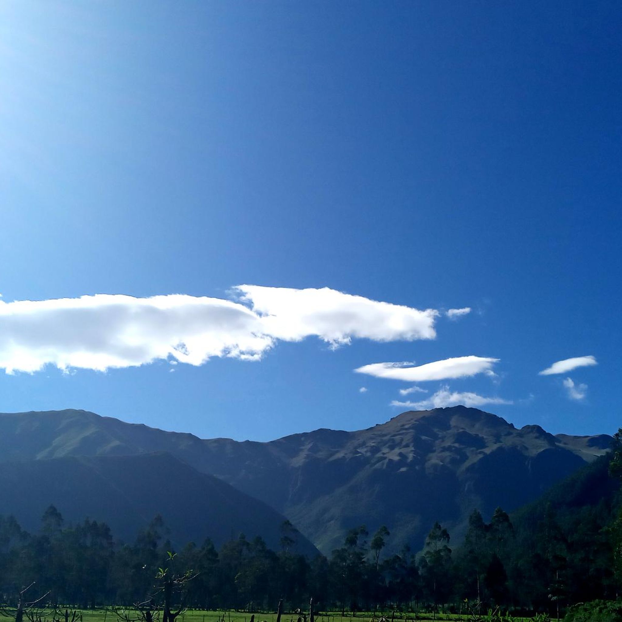
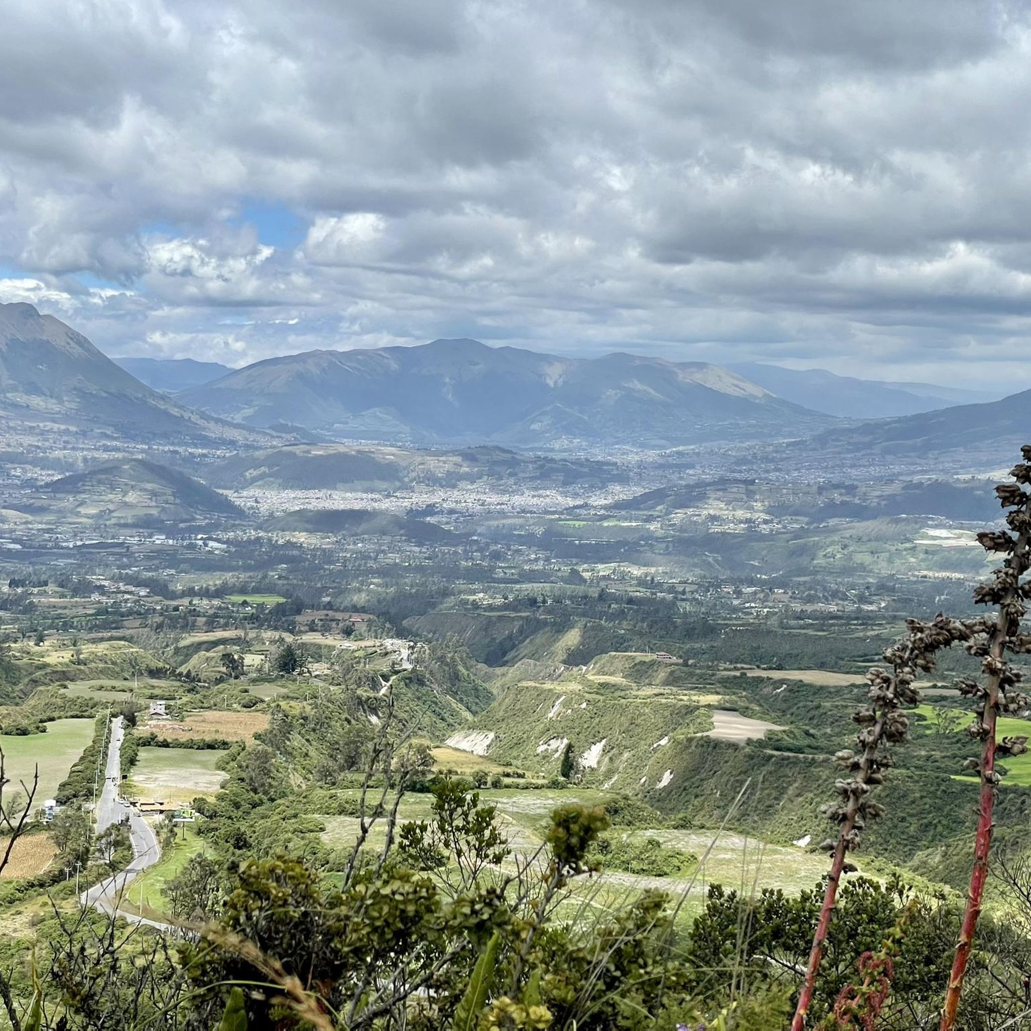
Jogging in Gonzalez Suarez offers diverse terrain for outdoor enthusiasts. The region is characterized by its volcanic origins, featuring calderas such as Cuicocha Lake and views of volcanoes like Cotacachi and Imbabura. Trails lead through varied ecosystems, from high-altitude paramo grasslands to native forests and eucalyptus groves. Natural features like Peguche Waterfall provide scenic backdrops for running routes.
Best jogging routes in Gonzalez Suarez
- The most popular jogging route is Cascada de Peguche – El Lechero loop from Otavalo,…
Last updated: July 12, 2026
5.0
(2)
65
runners
14.9km
02:04
670m
670m
Hard run. Very good fitness required. Mostly paved surfaces. Suitable for all skill levels.
24
runners
8.19km
01:10
370m
370m
Hard run. Very good fitness required. Mostly paved surfaces. Suitable for all skill levels.

Sign up for free
3
runners
7.68km
00:48
40m
40m
Moderate run. Good fitness required. Mostly paved surfaces. Suitable for all skill levels.
4
runners
9.92km
01:12
270m
270m
Moderate run. Good fitness required. Mostly paved surfaces. Suitable for all skill levels.
2
runners
9.24km
01:10
310m
310m
Hard run. Very good fitness required. Mostly paved surfaces. Suitable for all skill levels.
Our route recommendations are based on thousands of hikes, rides, and runs completed by other people on komoot.
Start today with a free account
Your next adventure awaits.
Login or Signup
Popular around Gonzalez Suarez
Tips from the Community

The town of Otavalo is located at 2,532 meters above sea level. It offers many services and is perfect for a few days' break. Worth visiting is the Mercado Municipal 24 de Mayo which offers a wide choice of fresh local products and, above all, a food court in which to refresh yourself!
2
0

Frequently Asked Questions
What kind of terrain can I expect on jogging routes in Gonzalez Suarez?
The jogging routes in Gonzalez Suarez offer a diverse range of terrain, characterized by its volcanic origins. You'll find paths winding through high-altitude paramo grasslands, native forests, and eucalyptus groves. Some routes feature significant elevation changes, while others offer more moderate, winding paths through the local landscape.
How many running routes are available in the Gonzalez Suarez area?
Komoot features 5 dedicated running routes in the Gonzalez Suarez region. These routes cater to various fitness levels, with options ranging from moderate to difficult.
What makes jogging in Gonzalez Suarez unique compared to other regions?
The region's unique volcanic landscapes, including views of volcanoes like Cotacachi and Imbabura, and natural features such as the sacred Peguche Waterfall, provide stunning backdrops. The diverse ecosystems, from paramo to native forests, offer varied and refreshing running experiences in clean, fresh mountain air.
Are there any routes that pass by the Peguche Waterfall?
Yes, several routes explore the area around the sacred Peguche Waterfall. For example, the difficult Cascada de Peguche – El Lechero loop from Otavalo is a 14.4 km trail that takes you through this significant natural attraction.
Can I find running trails with scenic viewpoints in Gonzalez Suarez?
Absolutely. The region is known for its breathtaking views. Routes often provide glimpses of volcanic calderas like Cuicocha Lake and panoramic vistas from spots like El Lechero Sacred Tree and Viewpoint or the Scenic viewpoint Lagunas de Mojanda. Climbing Fuya Fuya Peak also offers expansive views of the surrounding mountains.
Are there circular running routes available in Gonzalez Suarez?
Yes, there are several circular running routes. A popular option is the difficult Cascada de Peguche – El Lechero loop from Otavalo, which is 14.4 km long. Another is the moderate Running loop from Araque, covering 7.6 km.
What do other runners enjoy the most about jogging in Gonzalez Suarez?
The routes in Gonzalez Suarez are highly rated by the komoot community, with an average score of 5.0 stars. Runners often praise the varied terrain, the stunning natural beauty, and the opportunity to explore significant landmarks like the Peguche Waterfall and the ancient El Lechero tree.
Are there any moderate running options for those looking for a less strenuous experience?
Yes, for a less strenuous option, you can try the moderate Running loop from Araque. This 7.6 km path winds through the local landscape and is a favorite among local runners. Another moderate choice is the Running loop from Zuleta, which is 9.9 km long.
Can I find routes that explore the ancient El Lechero tree?
Yes, the ancient El Lechero Sacred Tree and Viewpoint is a significant landmark on several routes. The difficult Cascada de Peguche – El Lechero loop from Otavalo and the difficult El Lechero – Cascada de Peguche loop from Otavalo both incorporate this sacred site.
What are the typical elevations and distances for running trails in this region?
The running trails in Gonzalez Suarez vary significantly. Distances range from around 7.6 km for moderate loops like the Running loop from Araque, up to 14.4 km for more challenging routes such as the Cascada de Peguche – El Lechero loop from Otavalo. Elevation gains can be substantial on difficult routes, reaching over 600 meters, while moderate paths have much gentler ascents.
Are there any running events held in the Gonzalez Suarez area?
Yes, the region is active in the running community. Events such as the 'Gonzáles Suárez Trail Running' and the 'Otavalo Trail Run' highlight the area's suitability for the sport and its well-established routes.
Most popular routes in Gonzalez Suarez
Most popular attractions in Gonzalez Suarez

Get inspired with the komoot mobile app


Explore more
Browse the best Running Trails & Routes in other regions.
