The best cycling routes in Eugenio Espejo (Calpaqui)
4.5
(2)
24
riders
5
rides
Touring cycling routes in Eugenio Espejo (Calpaqui) traverse the Andean Highlands of Ecuador, characterized by significant elevation changes and varied terrain. The region features volcanic landscapes, including the Imbabura Volcano and nearby volcanic lakes like Lago San Pablo. Cyclists can expect a mix of winding roads and paths through high-altitude scenery, offering both challenging climbs and panoramic views.
Best touring cycling routes in Eugenio Espejo (Calpaqui)
- The most popular touring cycling route is Zuleta – Otavalo Town Center loop from…
Last updated: July 11, 2026
9
riders
110km
07:23
1,690m
1,690m
Hard bike ride. Very good fitness required. Mostly paved surfaces. Suitable for all skill levels.
4.5
(2)
10
riders
29.4km
01:58
360m
360m
Moderate bike ride. Good fitness required. Mostly paved surfaces. Suitable for all skill levels.

Sign up for free
1
riders
18.5km
01:17
260m
260m
Moderate bike ride. Good fitness required. Mostly paved surfaces. Suitable for all skill levels.
2
riders
62.2km
04:21
1,060m
1,070m
Hard bike ride. Very good fitness required. Mostly paved surfaces. Suitable for all skill levels.
2
riders
21.4km
01:45
530m
530m
Hard bike ride. Very good fitness required. Mostly paved surfaces. Suitable for all skill levels.
Our route recommendations are based on thousands of hikes, rides, and runs completed by other people on komoot.
Start today with a free account
Your next adventure awaits.
Login or Signup

Tips from the Community


If you want to mix kilometers and tranquility, this route is excellent.
0
0


The town of Otavalo is located at 2,532 meters above sea level. It offers many services and is perfect for a few days' break. Worth visiting is the Mercado Municipal 24 de Mayo which offers a wide choice of fresh local products and, above all, a food court in which to refresh yourself!
2
0
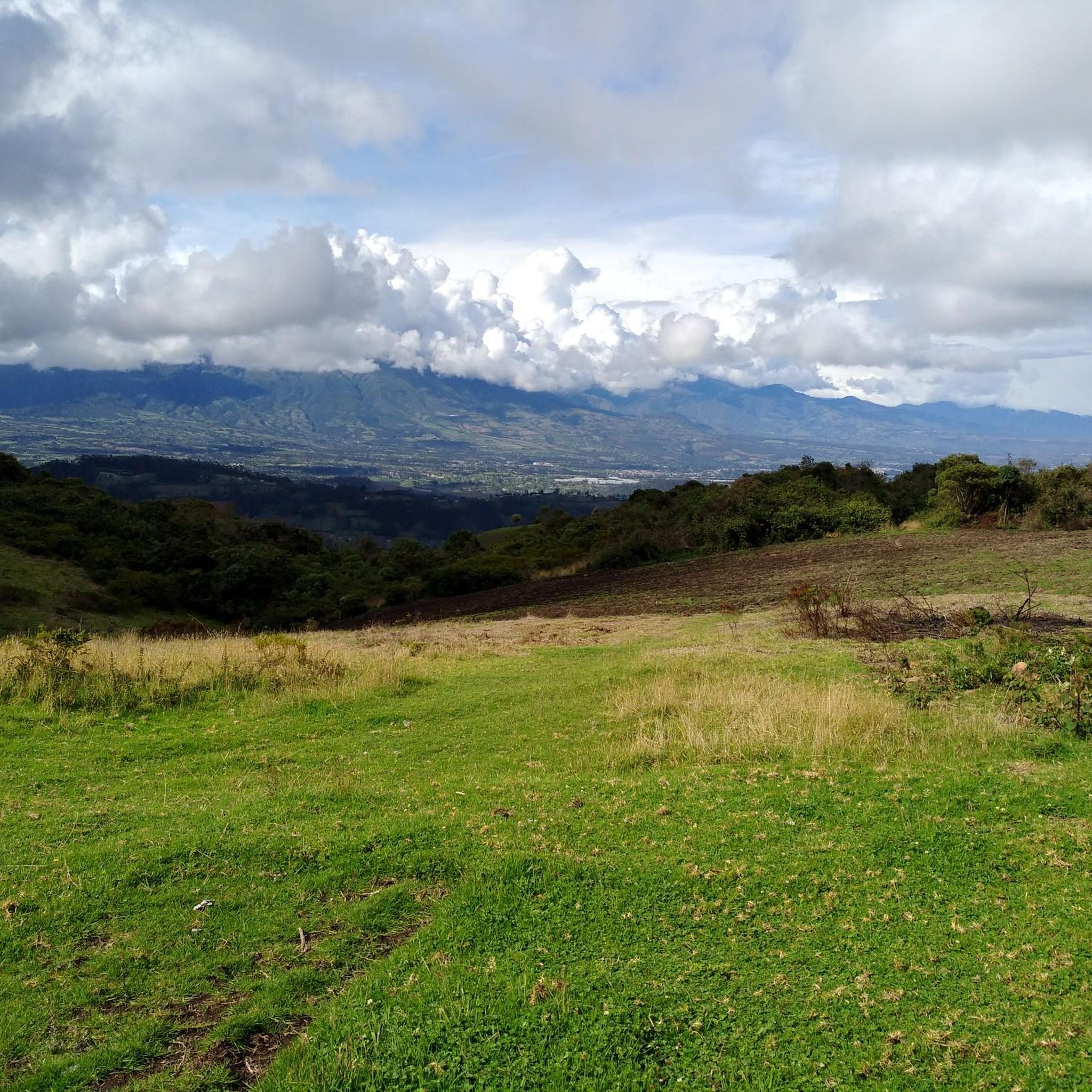
This stretch of asphalt road connects Conaqui with Imantag. The road is quiet and passes through cultivated fields and hills. A very picturesque panorama.
0
0

Frequently Asked Questions
How many touring cycling routes are available in Eugenio Espejo (Calpaqui)?
There are 5 touring cycling routes documented on komoot for Eugenio Espejo (Calpaqui). These routes offer a range of experiences through the Andean Highlands.
What kind of terrain can I expect on touring cycling routes in Eugenio Espejo (Calpaqui)?
Cyclists in Eugenio Espejo (Calpaqui) can expect varied terrain characteristic of the Andean Highlands. This includes significant elevation changes, winding roads, and potentially cobblestone sections, all set against a dramatic volcanic landscape. The routes offer both challenging climbs and breathtaking panoramic views.
Are there touring cycling routes suitable for beginners in Eugenio Espejo (Calpaqui)?
While the region is known for its challenging Andean terrain, there are moderate options available. For example, the Otavalo Town Center loop from Otavalo is a moderate 17.1 miles (27.6 km) path that provides scenic views around the cultural hub of Otavalo, making it a good choice for those looking for a less strenuous ride.
What are some challenging routes for experienced touring cyclists?
Experienced touring cyclists will find several difficult routes. The Zuleta – Otavalo Town Center loop from Ibarra is a demanding 67.6 miles (108.7 km) trail with extensive riding and notable elevation gains. Another difficult option is the Otavalo Town Center – Road to Imantag loop from Otavalo, covering 62.2 miles (100 km) with significant climbing.
Are there any circular touring cycling routes in the area?
Yes, many of the touring cycling routes in Eugenio Espejo (Calpaqui) are loops. Examples include the popular Zuleta – Otavalo Town Center loop from Ibarra, the Otavalo Town Center loop from Otavalo, and the TANQUES DE AGUA GUITARRA UCO loop from Cotacachi.
What natural attractions can I see while cycling in Eugenio Espejo (Calpaqui)?
The region is rich in natural beauty. You can encounter stunning volcanic lakes like San Pablo Lake and Laguna Grande de Mojanda. The area also features waterfalls, such as the beautiful Peguche Waterfall, and dramatic volcanic landscapes.
Are there any cultural landmarks or towns to explore near the cycling routes?
Absolutely. Eugenio Espejo (Calpaqui) is close to Otavalo, a vibrant cultural center. The Otavalo Town Center is famous for its indigenous market and offers a lively atmosphere. You can also find other points of interest like the Facchawahua Stone Sculptures and Wish Fountain.
What do other touring cyclists enjoy most about cycling in Eugenio Espejo (Calpaqui)?
The touring cycling routes in Eugenio Espejo (Calpaqui) are highly rated by the komoot community, with an average score of 4.5 stars. Cyclists often praise the breathtaking panoramic views, the challenging nature of the Andean terrain, and the opportunity to immerse themselves in the region's unique natural and cultural landscapes.
What is the best time of year to go touring cycling in Eugenio Espejo (Calpaqui)?
Given its location in the Andean Highlands, Eugenio Espejo (Calpaqui) experiences a relatively consistent climate year-round, though conditions can vary with elevation. Generally, the drier months (typically June to September and December to February) might offer more comfortable riding conditions, but be prepared for potential rain and cooler temperatures at higher altitudes at any time.
What should I wear for touring cycling in this high-altitude region?
Due to the high altitude and potential for varied weather, it's advisable to dress in layers. Include moisture-wicking base layers, an insulating mid-layer, and a waterproof/windproof outer shell. Don't forget sun protection (sunscreen, sunglasses, hat) as the sun can be intense at elevation, and gloves for comfort and warmth.
Can I find places for refreshments or food along the routes?
While specific cafes directly on every route might be limited, the proximity to Otavalo means you can easily access various services, including cafes and restaurants, especially if your route passes through or near the town center. Planning your route to include stops in towns like Otavalo is recommended for refreshments.
Are there any viewpoints or scenic spots worth visiting?
Yes, the region is full of scenic spots. Beyond the panoramic views from the routes themselves, you can visit specific viewpoints like El Lechero Sacred Tree and Viewpoint and the Scenic viewpoint Lagunas de Mojanda, which offer spectacular vistas of the volcanic lakes and surrounding landscapes.
Most popular routes in Eugenio Espejo (Calpaqui)
Most popular attractions in Eugenio Espejo (Calpaqui)

Get inspired with the komoot mobile app


Explore more
Browse the best Cycling routes in other regions.
