The best running trails in Quiroga
5.0
(3)
224
runners
6
runs
Jogging routes in Quiroga offer a diverse range of challenging trails, primarily characterized by significant elevation changes. The region's terrain often includes varied natural surfaces, making for demanding runs. These routes are generally suited for experienced runners seeking strenuous physical activity. The landscape provides opportunities for exploring different natural settings during a run.
Best jogging routes in Quiroga
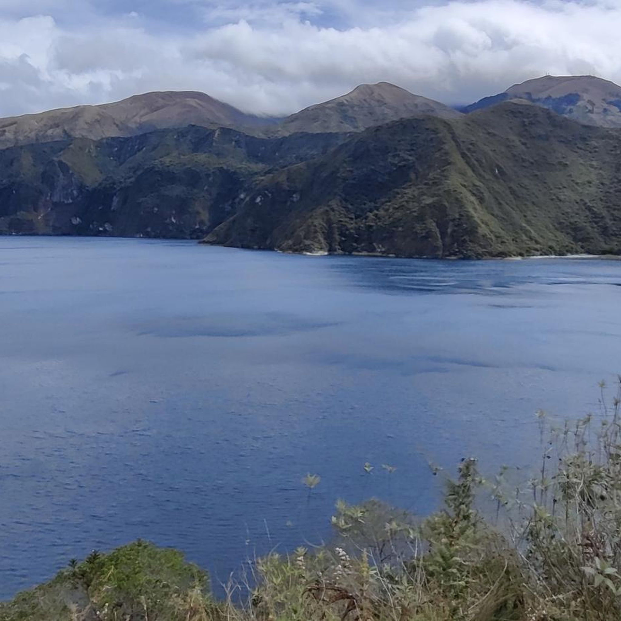
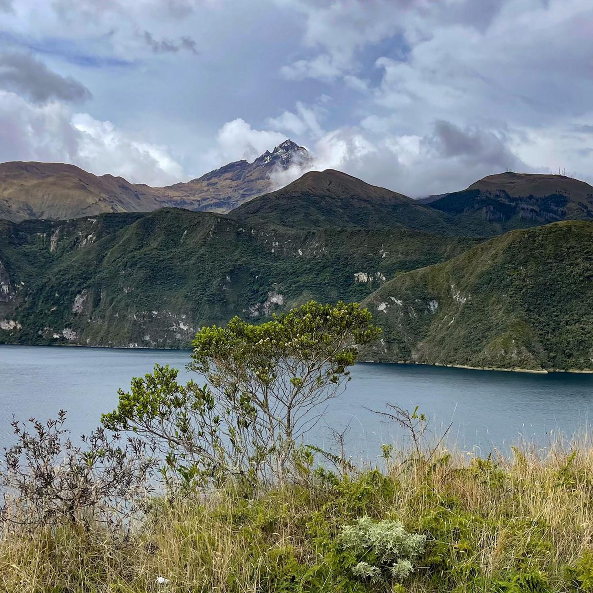
- The most popular jogging route is Cuicocha Lake loop from Parqueadero Laguna Cuicocha, a 7.6 miles (12.2 km) trail that takes…
Last updated: July 12, 2026
5.0
(1)
108
runners
12.2km
01:49
540m
530m
Hard run. Very good fitness required. Mostly paved surfaces. Suitable for all skill levels.
5.0
(2)
65
runners
14.9km
02:04
670m
670m
Hard run. Very good fitness required. Mostly paved surfaces. Suitable for all skill levels.

Sign up for free
24
runners
8.19km
01:10
370m
370m
Hard run. Very good fitness required. Mostly paved surfaces. Suitable for all skill levels.
24
runners
30.4km
04:17
1,300m
1,300m
Hard run. Very good fitness required. Mostly paved surfaces. Suitable for all skill levels.
8
runners
7.14km
01:08
420m
420m
Hard run. Very good fitness required. Mostly paved surfaces. Suitable for all skill levels.
Our route recommendations are based on thousands of hikes, rides, and runs completed by other people on komoot.
Start today with a free account
Your next adventure awaits.
Login or Signup
Popular around Quiroga
Tips from the Community

The town of Otavalo is located at 2,532 meters above sea level. It offers many services and is perfect for a few days' break. Worth visiting is the Mercado Municipal 24 de Mayo which offers a wide choice of fresh local products and, above all, a food court in which to refresh yourself!
2
0

Frequently Asked Questions
What kind of terrain can I expect on running routes in Quiroga?
Running routes in Quiroga are primarily characterized by challenging terrain with significant elevation changes. You'll encounter varied natural surfaces, including steep profiles and narrow valleys, especially in areas like the Serra do Courel. This makes for demanding runs, generally suited for experienced runners seeking strenuous physical activity.
Are there any waterfalls I can see while jogging in Quiroga?
Yes, Quiroga is home to several stunning waterfalls that can be incorporated into your running adventures. Notable examples include Fervenza de Vieiros, a 30-meter waterfall on the Selmo River, and Fervenza do Fócaro, also 30 meters high. Another beautiful spot is Fervenza da Pedriña – Cruz de Outeiro, which features a 7-meter waterfall and a turquoise-green pool.
What are some natural landmarks or geological features to look out for on the trails?
Quiroga is a geological marvel, recognized as part of UNESCO's Global Geoparks. As you run, you might encounter impressive geological formations like the Campodola Fold and the Courel Syncline, visible from viewpoints such as Mirador de Campodola. The region also boasts the expansive Serra do Courel mountain range with its deep valleys and diverse forests.
How many running routes are available in Quiroga?
Komoot currently lists 6 running routes in Quiroga. These routes are generally considered difficult, offering substantial elevation gains and varied natural surfaces for a challenging experience.
What do other runners say about the trails in Quiroga?
The running routes in Quiroga are highly rated by the komoot community, with an average score of 5.0 stars from over 2 reviews. Runners often praise the challenging ascents, varied natural surfaces, and the opportunities to explore different natural settings during their runs.
Are there any circular running routes in Quiroga?
Yes, there are several circular running routes available. For instance, you can explore the Cuicocha Lake loop from Parqueadero Laguna Cuicocha, which is a 12.2 km trail with significant elevation gain around a scenic lake. Another option is the Cascada de Peguche loop from Otavalo, an 8.2 km trail through natural surroundings.
What kind of views can I expect on the running trails?
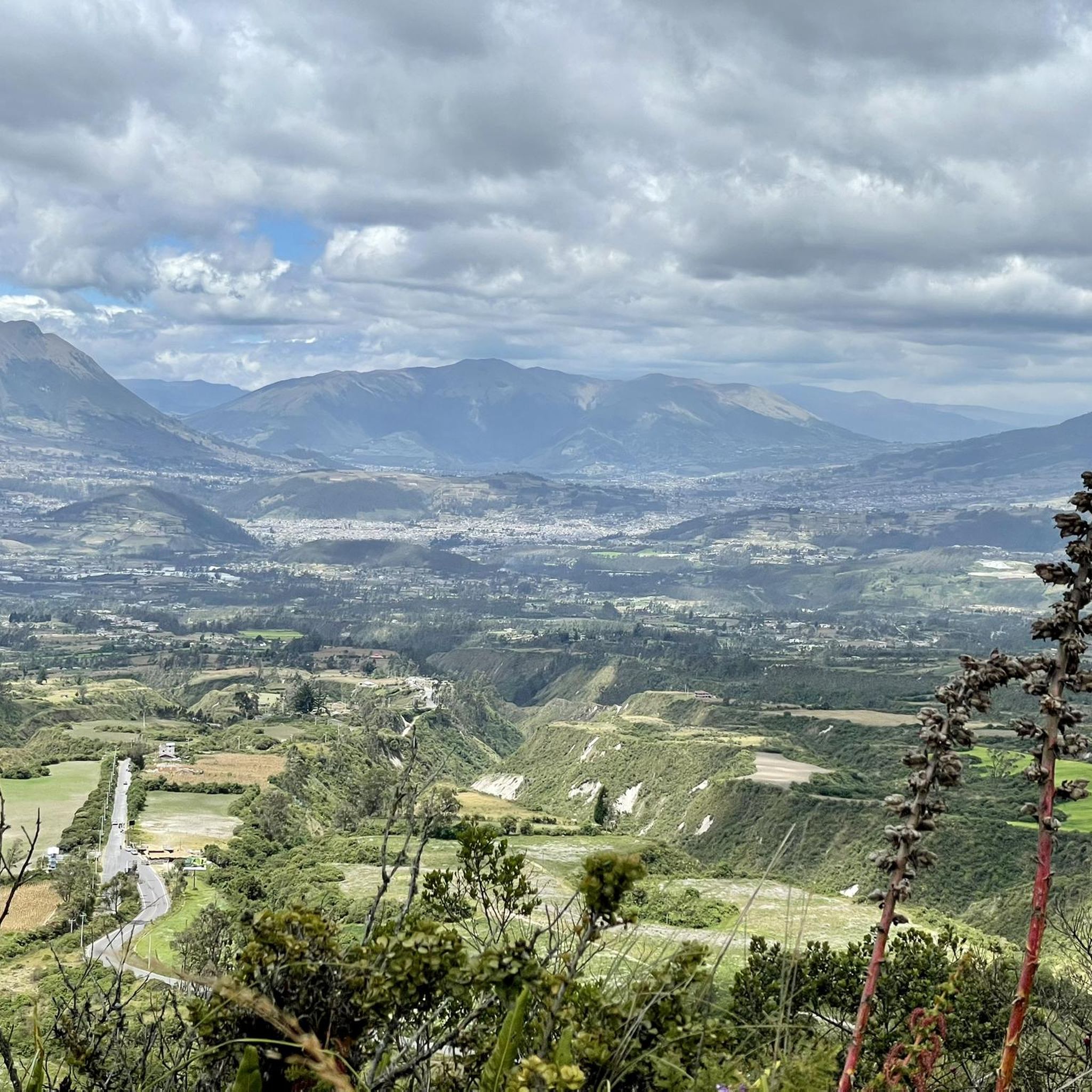
Quiroga's running trails offer breathtaking views from natural viewpoints. You can enjoy vistas overlooking the Quiroga and Sil river valleys from spots like Miradoiro of Bustelo. Higher elevations, such as Alto do Boi, Pico do Pía Páxaro, and Formigueiros, also provide stunning panoramic views for those tackling more strenuous routes.
Are there any specific attractions near the running routes?
Yes, several attractions are located near the running routes. For example, the Cuicocha Lagoon Loop Trailhead is a prominent feature, and the Peguche Waterfall is another popular natural landmark. You might also encounter the El Lechero Sacred Tree and Viewpoint, offering cultural and scenic interest.
What is the longest running route available in Quiroga?
One of the longer running routes is the Cascada de Peguche – El Lechero loop from Otavalo, which spans approximately 30.8 km and involves over 1200 meters of elevation gain, making it a significant challenge for experienced runners.
Are there any river valleys suitable for running in Quiroga?
Absolutely. The beautiful Lor and Soldón river valleys provide picturesque routes for running, offering diverse scenery and potentially flatter paths alongside the rivers. The Sil River also borders the south side of Quiroga, adding to the scenic water features available for exploration.
What makes Quiroga a unique destination for trail running?
Quiroga's unique appeal for trail running stems from its designation as a protected natural area and its dramatic geological features. The striking contrast between the lands near the Sil riverbank and the northern mountains of Serra do Courel creates two distinct ecosystems within a short distance, offering unparalleled geographical diversity and stunning natural beauty for runners.
What is the typical difficulty level of running trails in Quiroga?
The running trails in Quiroga are generally considered difficult. They feature challenging ascents, varied natural surfaces, and considerable elevation changes, making them best suited for experienced runners looking for a strenuous workout.
Most popular routes in Quiroga
Most popular attractions in Quiroga

Get inspired with the komoot mobile app


Explore more
Browse the best Running Trails & Routes in other regions.
